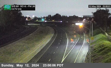
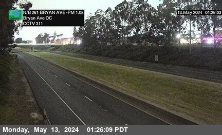
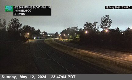
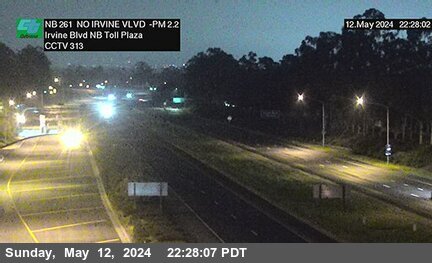
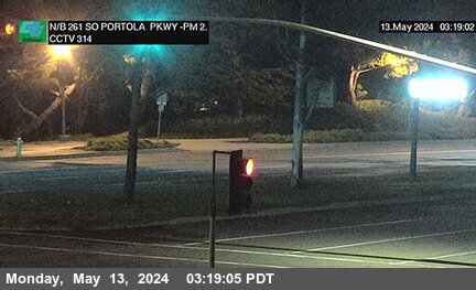
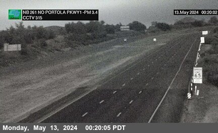
Highway SR-261 Traffic & Road Conditions in California
CHP Traffic Incidents, Accidents & Traffic Alerts on SR-261
No reported CHP Traffic incidents for this route.
CalTrans Road Conditions SR-261
No data available.
CalTrans Message Signs for SR-261 (0) - See All
Real-time highway message signs with travel times, travel, wind, fog and chain controls alerts and accident conditions.
CalTrans Lane & Road Closures on Highway SR-261 How does freeway lane numbering work?
In Irvine All lanes will be closed for striping operation along Southbound Highway 261 at Irvine Blvd from Apr 25 at 9:01AM to Apr 25 at 2:01PM.
From: Irvine Blvd to Eastern Trans. Toll Rd, Rte 261 in Irvine
In Irvine Lane #2 will be closed overnight for paving operation along Southbound Highway 261 at Portola Pkwy from Apr 25 at 8:01PM to Apr 26 at 6:01AM.
From: Portola Pkwy to Walnut Ave in Irvine
In Irvine All lanes will be closed overnight for paving operation along Northbound Highway 261 at Walnut Ave from Apr 25 at 10:01PM to Apr 26 at 12:01AM.
From: Walnut Ave to Eastern Trans. Toll Rd, Rte 261 in Irvine
In Irvine Lane #2 will be closed overnight for paving operation along Northbound Highway 261 at Walnut Ave from Apr 25 at 10:01PM to Apr 26 at 6:01AM.
From: Walnut Ave to Portola Pkwy in Irvine
In Irvine Lane #2 will be closed overnight for paving operation along Southbound Highway 261 at Portola Pkwy from Apr 25 at 10:01PM to Apr 26 at 6:01AM.
From: Portola Pkwy to Walnut Ave in Irvine
What's Happening
List of the top 15 routes with the most CHP incidents today.
