Caltrans Cameras on SR-120 in District 10 Real Time Traffic Cameras
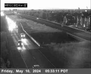
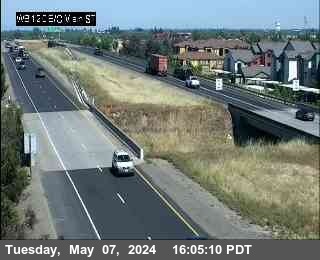
SR-120 near Lathrop in San Joaquin County
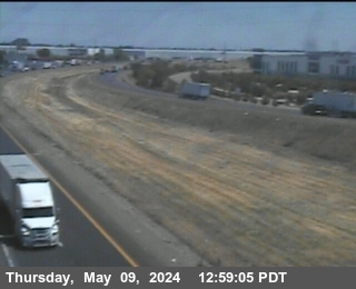


District: 10 Camera ID: 13
Location: WB SR-120 E/O I-5
View on Google Maps
Direction: West
Elevation: 19
Location: WB SR-120 E/O I-5
View on Google Maps
Direction: West
Elevation: 19
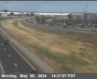
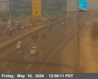
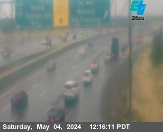
SR-120 near Lathrop in San Joaquin County


District: 10 Camera ID: 106
Location: EB SR 120 Yosemite Ave
View on Google Maps
Direction: East
Elevation: 65
Location: EB SR 120 Yosemite Ave
View on Google Maps
Direction: East
Elevation: 65
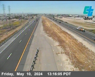
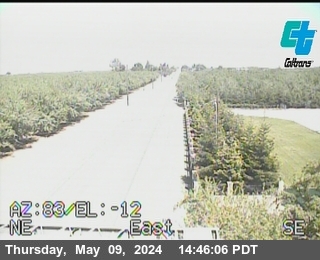
SR-120 near Manteca in San Joaquin County


District: 10 Camera ID: 147
Location: WB SR 120 W/O Airport Way
View on Google Maps
Direction:
Elevation: 32
Location: WB SR 120 W/O Airport Way
View on Google Maps
Direction:
Elevation: 32
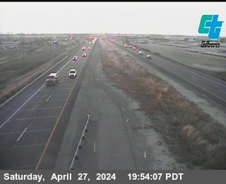
SR-120 near Manteca in San Joaquin County
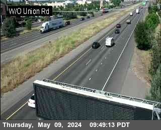


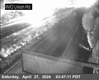
District: 10 Camera ID: 25
Location: EB SR 120 West Of Union
View on Google Maps
Direction: West
Elevation: 26
Location: EB SR 120 West Of Union
View on Google Maps
Direction: West
Elevation: 26
SR-120 near Manteca in San Joaquin County


District: 10 Camera ID: 26
Location: EB SR 120 Main Street Manteca
View on Google Maps
Direction: East
Elevation: 39
Location: EB SR 120 Main Street Manteca
View on Google Maps
Direction: East
Elevation: 39
SR-120 near Manteca in San Joaquin County


District: 10 Camera ID: 150
Location: WB SR 120 E/O Main St
View on Google Maps
Direction: West
Elevation: 32
Location: WB SR 120 E/O Main St
View on Google Maps
Direction: West
Elevation: 32
SR-99 near Manteca in San Joaquin County


District: 10 Camera ID: 29
Location: NB SR-99 SR-120 and Yosemite Ave
View on Google Maps
Direction: North
Elevation: 39
Location: NB SR-99 SR-120 and Yosemite Ave
View on Google Maps
Direction: North
Elevation: 39
SR-99 near Manteca in San Joaquin County


District: 10 Camera ID: 80
Location: NB SR-99 S/O SR-120
View on Google Maps
Direction: North
Elevation: 39
Location: NB SR-99 S/O SR-120
View on Google Maps
Direction: North
Elevation: 39
SR-120 near Cornerstone in San Joaquin County


District: 10 Camera ID: 126
Location: EB SR 120 Calla Rd
View on Google Maps
Direction: East
Elevation: 91
Location: EB SR 120 Calla Rd
View on Google Maps
Direction: East
Elevation: 91
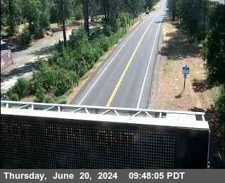
SR-120 near Groveland in Tuolumne County


District: 10 Camera ID: 129
Location: Ferretti Rd Groveland
View on Google Maps
Direction: East
Elevation: 2867
Location: Ferretti Rd Groveland
View on Google Maps
Direction: East
Elevation: 2867
SR-120 near Groveland in Mariposa County


District: 10 Camera ID: 152
Location: EB MPA 120 Buck Meadows
View on Google Maps
Direction: East
Elevation: 3123
Location: EB MPA 120 Buck Meadows
View on Google Maps
Direction: East
Elevation: 3123