Caltrans Cameras for District 12 Real Time Traffic Cameras
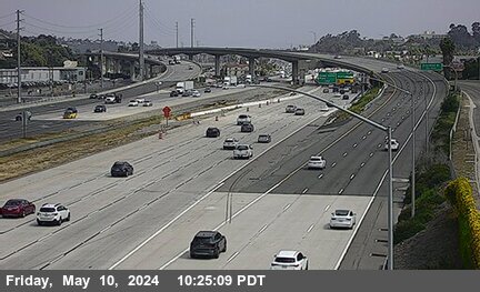
I-5 near San Clemente in San Diego County
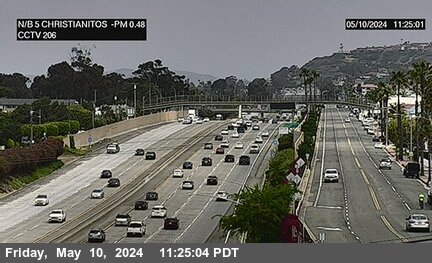


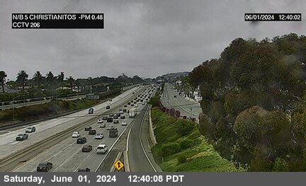
District: 12 Camera ID: 206
Location: I-5 : Christianitos Road
View on Google Maps
Direction: North
Elevation: 111
Location: I-5 : Christianitos Road
View on Google Maps
Direction: North
Elevation: 111
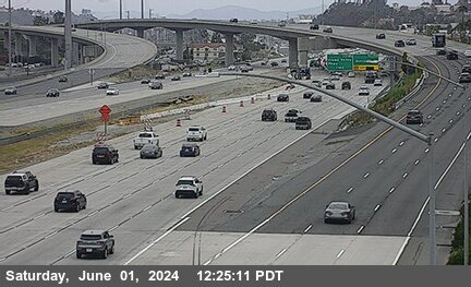
I-5 near San Clemente in Orange County
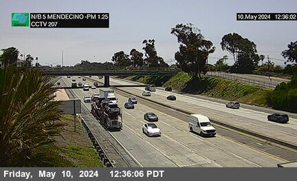


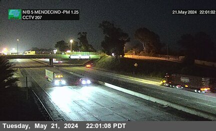
District: 12 Camera ID: 207
Location: I-5 : Mendecino
View on Google Maps
Direction: North
Elevation: 187
Location: I-5 : Mendecino
View on Google Maps
Direction: North
Elevation: 187
I-5 near San Clemente in Orange County
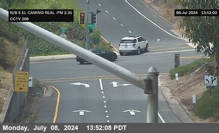


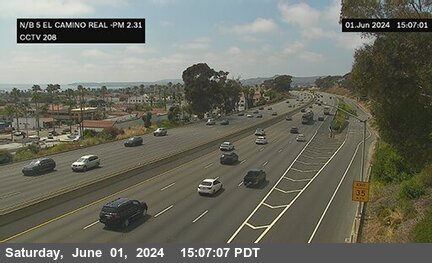
District: 12 Camera ID: 208
Location: I-5 : El Camino Real
View on Google Maps
Direction: North
Elevation: 288
Location: I-5 : El Camino Real
View on Google Maps
Direction: North
Elevation: 288
I-5 near San Clemente in Orange County
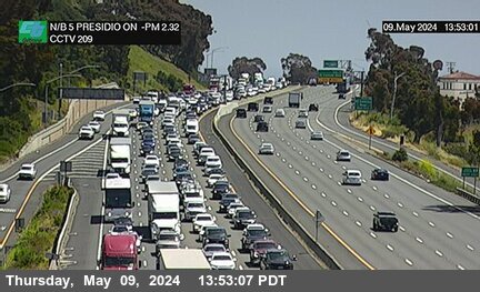


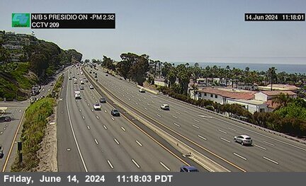
District: 12 Camera ID: 209
Location: I-5 : Presidio Drive On
View on Google Maps
Direction: North
Elevation: 272
Location: I-5 : Presidio Drive On
View on Google Maps
Direction: North
Elevation: 272
I-5 near San Clemente in Orange County
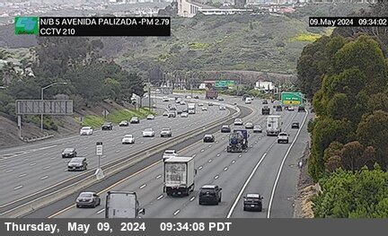


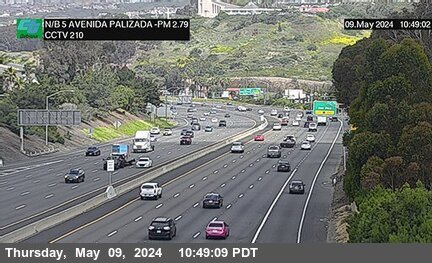
District: 12 Camera ID: 210
Location: I-5 : Avenida Palizada On
View on Google Maps
Direction: North
Elevation: 252
Location: I-5 : Avenida Palizada On
View on Google Maps
Direction: North
Elevation: 252
I-5 near San Clemente in Orange County


I-5 near San Clemente in Orange County
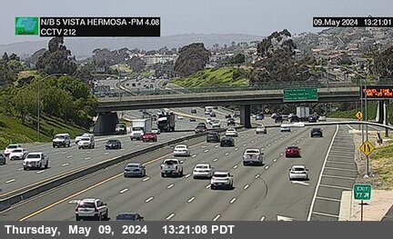


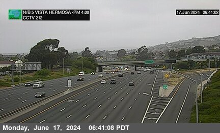
District: 12 Camera ID: 212
Location: I-5 : Vista Hermosa
View on Google Maps
Direction: North
Elevation: 187
Location: I-5 : Vista Hermosa
View on Google Maps
Direction: North
Elevation: 187
I-5 near San Clemente in Orange County


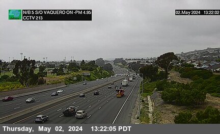
District: 12 Camera ID: 213
Location: I-5 : South of Avenida Vaquero On
View on Google Maps
Direction: North
Elevation: 173
Location: I-5 : South of Avenida Vaquero On
View on Google Maps
Direction: North
Elevation: 173
I-5 near San Clemente in Orange County
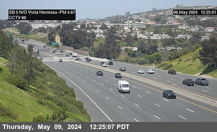


District: 12 Camera ID: 374
Location: I-5 : North of Vista Hermosa
View on Google Maps
Direction: South
Elevation: 173
Location: I-5 : North of Vista Hermosa
View on Google Maps
Direction: South
Elevation: 173
I-5 near Capistrano Beach in Orange County


District: 12 Camera ID: 214
Location: I-5 : Camino De Estrella On
View on Google Maps
Direction: North
Elevation: 236
Location: I-5 : Camino De Estrella On
View on Google Maps
Direction: North
Elevation: 236
I-5 near Capistrano Beach in Orange County


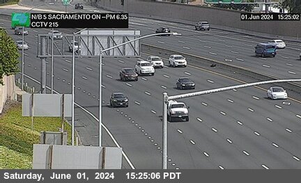
District: 12 Camera ID: 215
Location: I-5 : Sacramento
View on Google Maps
Direction: North
Elevation: 216
Location: I-5 : Sacramento
View on Google Maps
Direction: North
Elevation: 216
I-5 near San Juan Capistrano in Orange County
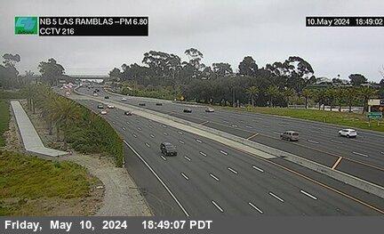


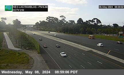
District: 12 Camera ID: 216
Location: I-5 : Las Ramblas
View on Google Maps
Direction: North
Elevation: 170
Location: I-5 : Las Ramblas
View on Google Maps
Direction: North
Elevation: 170
I-5 near San Juan Capistrano in Orange County
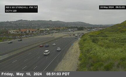


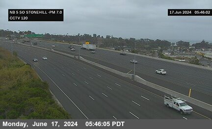
District: 12 Camera ID: 171
Location: I-5 : South of Stonehill
View on Google Maps
Direction: North
Elevation: 121
Location: I-5 : South of Stonehill
View on Google Maps
Direction: North
Elevation: 121
I-5 near San Juan Capistrano in Orange County
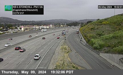


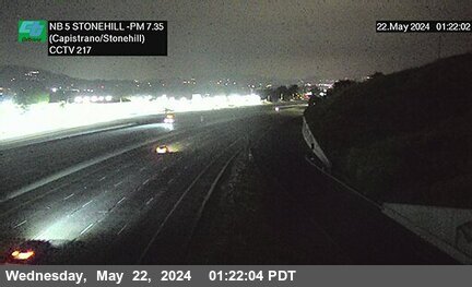
District: 12 Camera ID: 217
Location: I-5 : Stonehill Drive (Capistrano/Stonehill)
View on Google Maps
Direction: North
Elevation: 121
Location: I-5 : Stonehill Drive (Capistrano/Stonehill)
View on Google Maps
Direction: North
Elevation: 121
I-5 near San Juan Capistrano in Orange County
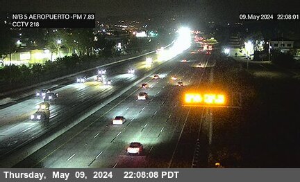


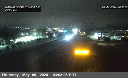
District: 12 Camera ID: 218
Location: I-5 : Avenida Aeropuerto
View on Google Maps
Direction: North
Elevation: 85
Location: I-5 : Avenida Aeropuerto
View on Google Maps
Direction: North
Elevation: 85
I-5 near San Juan Capistrano in Orange County
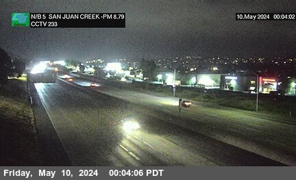


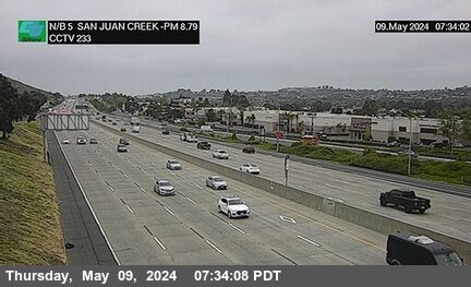
District: 12 Camera ID: 233
Location: I-5 : Valle Road On (San Juan Creek)
View on Google Maps
Direction: North
Elevation: 108
Location: I-5 : Valle Road On (San Juan Creek)
View on Google Maps
Direction: North
Elevation: 108
I-5 near San Juan Capistrano in Orange County
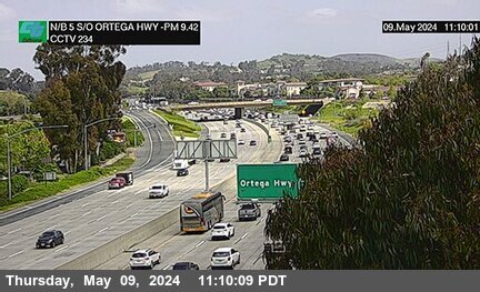


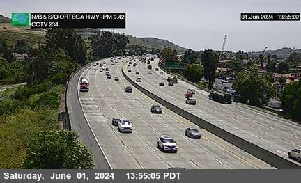
District: 12 Camera ID: 234
Location: I-5 : South of Ortega Highway (San Juan Creek)
View on Google Maps
Direction: North
Elevation: 108
Location: I-5 : South of Ortega Highway (San Juan Creek)
View on Google Maps
Direction: North
Elevation: 108
I-5 near San Juan Capistrano in Orange County
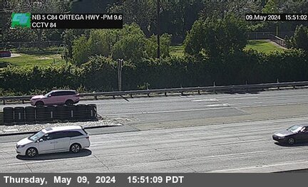


District: 12 Camera ID: 84
Location: I-5 : Ortega Highway
View on Google Maps
Direction: North
Elevation: 154
Location: I-5 : Ortega Highway
View on Google Maps
Direction: North
Elevation: 154
I-5 near San Juan Capistrano in Orange County
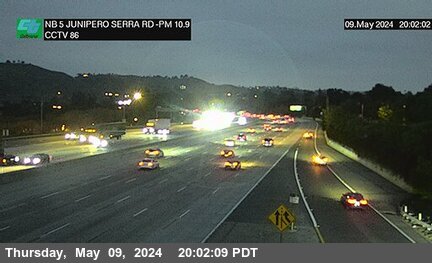


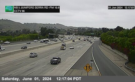
District: 12 Camera ID: 86
Location: I-5 : Junipero Serra Road
View on Google Maps
Direction: North
Elevation: 223
Location: I-5 : Junipero Serra Road
View on Google Maps
Direction: North
Elevation: 223
I-5 near San Juan Capistrano in Orange County


I-5 near Mission Viejo in Orange County
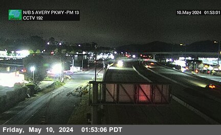


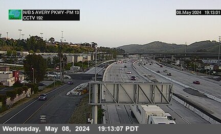
District: 12 Camera ID: 192
Location: I-5 : Avery Parkway
View on Google Maps
Direction: North
Elevation: 262
Location: I-5 : Avery Parkway
View on Google Maps
Direction: North
Elevation: 262
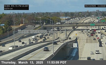
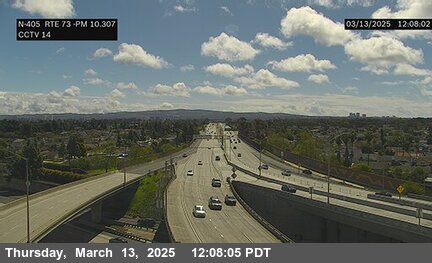
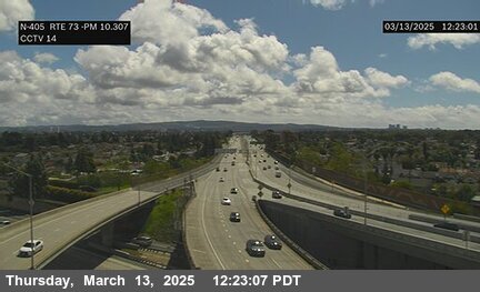
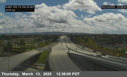
SR-73 near Laguna Niguel in Orange County


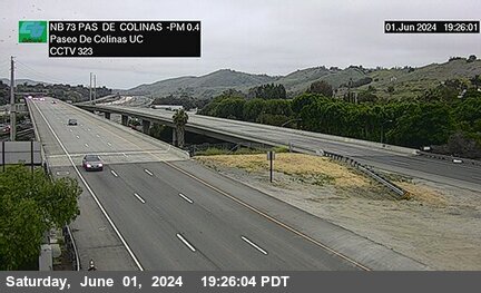
District: 12 Camera ID: 323
Location: SR-73 : North of Paseo De Colinas Undercross
View on Google Maps
Direction: North
Elevation: 259
Location: SR-73 : North of Paseo De Colinas Undercross
View on Google Maps
Direction: North
Elevation: 259
SR-73 near Laguna Hills in Orange County
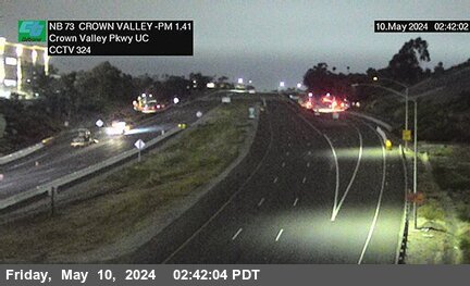


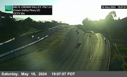
District: 12 Camera ID: 324
Location: SR-73 : North of Crown Valley Parkway Undercross
View on Google Maps
Direction: North
Elevation: 410
Location: SR-73 : North of Crown Valley Parkway Undercross
View on Google Maps
Direction: North
Elevation: 410
SR-73 near Laguna Niguel in Orange County
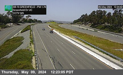


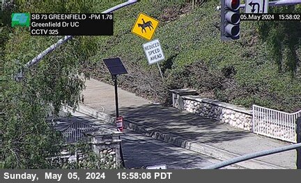
District: 12 Camera ID: 325
Location: SR-73 : North of Greenfield Drive Undercross
View on Google Maps
Direction: South
Elevation: 426
Location: SR-73 : North of Greenfield Drive Undercross
View on Google Maps
Direction: South
Elevation: 426
I-5 near Mission Viejo in Orange County
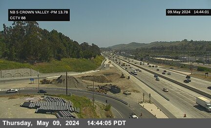


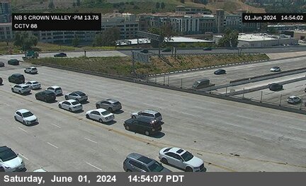
District: 12 Camera ID: 88
Location: I-5 : Crown Valley Parkway
View on Google Maps
Direction: North
Elevation: 308
Location: I-5 : Crown Valley Parkway
View on Google Maps
Direction: North
Elevation: 308
SR-73 near Laguna Niguel in Orange County
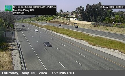


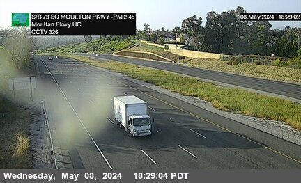
District: 12 Camera ID: 326
Location: SR-73 : South of Moulton Parkway Undercross
View on Google Maps
Direction: South
Elevation: 426
Location: SR-73 : South of Moulton Parkway Undercross
View on Google Maps
Direction: South
Elevation: 426
SR-73 near Laguna Niguel in Orange County
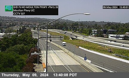


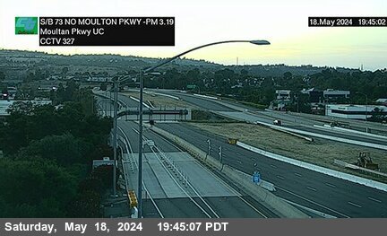
District: 12 Camera ID: 327
Location: SR-73 : North of Moulton Parkway Undercross
View on Google Maps
Direction: South
Elevation: 259
Location: SR-73 : North of Moulton Parkway Undercross
View on Google Maps
Direction: South
Elevation: 259
SR-73 near Aliso Viejo in Orange County
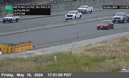


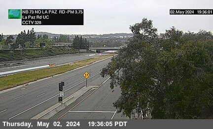
District: 12 Camera ID: 328
Location: SR-73 : North of La Paz Road Undercross
View on Google Maps
Direction: North
Elevation: 255
Location: SR-73 : North of La Paz Road Undercross
View on Google Maps
Direction: North
Elevation: 255
SR-73 near Aliso Viejo in Orange County
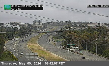


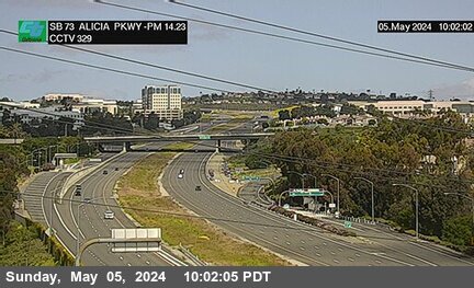
District: 12 Camera ID: 329
Location: SR-73 : Alicia Parkway Overcross
View on Google Maps
Direction: South
Elevation: 232
Location: SR-73 : Alicia Parkway Overcross
View on Google Maps
Direction: South
Elevation: 232
SR-73 near Aliso Viejo in Orange County
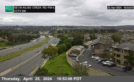


District: 12 Camera ID: 330
Location: SR-73 : Alicia Creek Road
View on Google Maps
Direction: South
Elevation: 360
Location: SR-73 : Alicia Creek Road
View on Google Maps
Direction: South
Elevation: 360
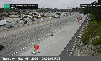
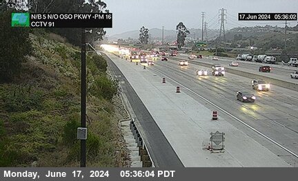
I-5 near Mission Viejo in Orange County
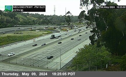


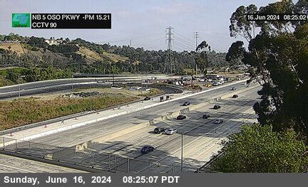
District: 12 Camera ID: 90
Location: I-5 : Oso Parkway Overcross
View on Google Maps
Direction: North
Elevation: 387
Location: I-5 : Oso Parkway Overcross
View on Google Maps
Direction: North
Elevation: 387
SR-73 near Aliso Viejo in Orange County


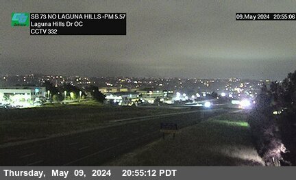
District: 12 Camera ID: 331
Location: SR-73 : South of Laguna Hills Drive Overcross
View on Google Maps
Direction: South
Elevation: 469
Location: SR-73 : South of Laguna Hills Drive Overcross
View on Google Maps
Direction: South
Elevation: 469
SR-73 near Aliso Viejo in Orange County


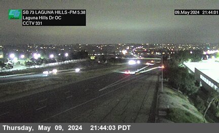
District: 12 Camera ID: 332
Location: SR-73 : North of Laguna Hills Drive Overcross
View on Google Maps
Direction: South
Elevation: 534
Location: SR-73 : North of Laguna Hills Drive Overcross
View on Google Maps
Direction: South
Elevation: 534
SR-73 near Aliso Viejo in Orange County
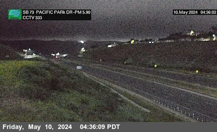


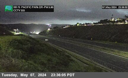
District: 12 Camera ID: 333
Location: SR-73 : Pacific Park Drive Overcross
View on Google Maps
Direction: South
Elevation: 603
Location: SR-73 : Pacific Park Drive Overcross
View on Google Maps
Direction: South
Elevation: 603
SR-73 near Aliso Viejo in Orange County
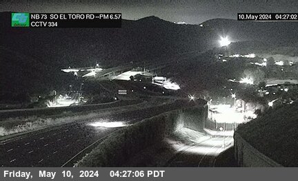


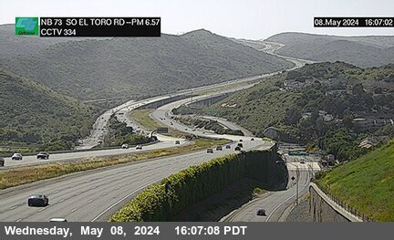
District: 12 Camera ID: 334
Location: SR-73 : El Toro Road Offramp
View on Google Maps
Direction: North
Elevation: 511
Location: SR-73 : El Toro Road Offramp
View on Google Maps
Direction: North
Elevation: 511
I-5 near Mission Viejo in Orange County


District: 12 Camera ID: 91
Location: I-5 : North of Oso Parkway
View on Google Maps
Direction: North
Elevation: 403
Location: I-5 : North of Oso Parkway
View on Google Maps
Direction: North
Elevation: 403
SR-73 near Laguna Beach in Orange County


District: 12 Camera ID: 335
Location: SR-73 : North of El Toro Road Undercross
View on Google Maps
Direction: South
Elevation: 321
Location: SR-73 : North of El Toro Road Undercross
View on Google Maps
Direction: South
Elevation: 321
SR-73 near Irvine in Orange County
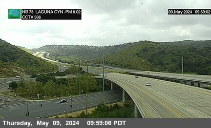


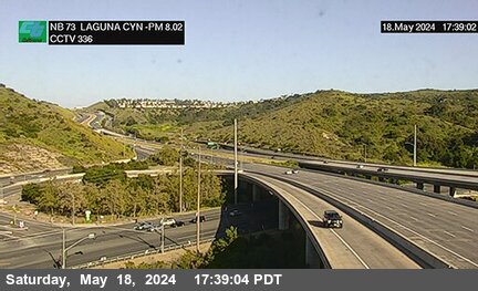
District: 12 Camera ID: 336
Location: SR-73 : North of Laguna Canyon Road Undercross A
View on Google Maps
Direction: North
Elevation: 334
Location: SR-73 : North of Laguna Canyon Road Undercross A
View on Google Maps
Direction: North
Elevation: 334
SR-73 near Irvine in Orange County
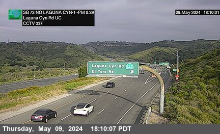


District: 12 Camera ID: 337
Location: SR-73 : North of Laguna Canyon Road Undercross B
View on Google Maps
Direction: South
Elevation: 495
Location: SR-73 : North of Laguna Canyon Road Undercross B
View on Google Maps
Direction: South
Elevation: 495
I-5 near Mission Viejo in Orange County
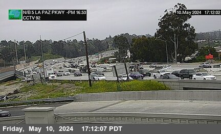


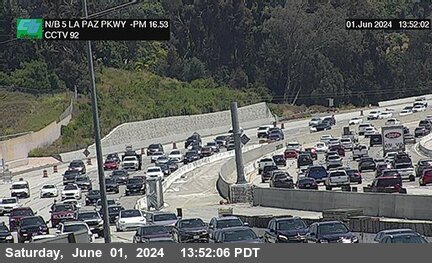
District: 12 Camera ID: 92
Location: I-5 : La Paz Road
View on Google Maps
Direction: North
Elevation: 400
Location: I-5 : La Paz Road
View on Google Maps
Direction: North
Elevation: 400
SR-73 near Irvine in Orange County


District: 12 Camera ID: 338
Location: SR-73 : North of Laguna Canyon Road Undercross C
View on Google Maps
Direction: South
Elevation: 646
Location: SR-73 : North of Laguna Canyon Road Undercross C
View on Google Maps
Direction: South
Elevation: 646
I-5 near Mission Viejo in Orange County
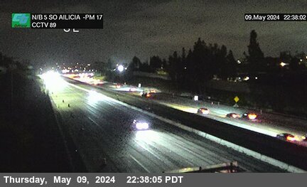


District: 12 Camera ID: 89
Location: I-5 : North of La Paz Road (South of Alicia)
View on Google Maps
Direction: North
Elevation: 413
Location: I-5 : North of La Paz Road (South of Alicia)
View on Google Maps
Direction: North
Elevation: 413
SR-73 near Irvine in Orange County


District: 12 Camera ID: 339
Location: SR-73 : South of Toll Plaza/ North of Wildlife
View on Google Maps
Direction: South
Elevation: 761
Location: SR-73 : South of Toll Plaza/ North of Wildlife
View on Google Maps
Direction: South
Elevation: 761
SR-73 near Irvine in Orange County


District: 12 Camera ID: 340
Location: SR-73 : Catalina View Toll Plaza
View on Google Maps
Direction: South
Elevation: 971
Location: SR-73 : Catalina View Toll Plaza
View on Google Maps
Direction: South
Elevation: 971
I-5 near Mission Viejo in Orange County


District: 12 Camera ID: 93
Location: I-5 : Alicia Parkway On
View on Google Maps
Direction: North
Elevation: 413
Location: I-5 : Alicia Parkway On
View on Google Maps
Direction: North
Elevation: 413
I-5 near Mission Viejo in Orange County


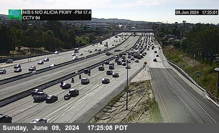
District: 12 Camera ID: 94
Location: I-5 : Alicia Parkway
View on Google Maps
Direction: North
Elevation: 393
Location: I-5 : Alicia Parkway
View on Google Maps
Direction: North
Elevation: 393
SR-73 near Newport Coast in Orange County


District: 12 Camera ID: 341
Location: SR-73 : North of Toll Plaza A/ Bommer Canyon
View on Google Maps
Direction: South
Elevation: 908
Location: SR-73 : North of Toll Plaza A/ Bommer Canyon
View on Google Maps
Direction: South
Elevation: 908
SR-73 near Newport Coast in Orange County


District: 12 Camera ID: 342
Location: SR-73 : North of Toll Plaza B/ Bommer Canyon
View on Google Maps
Direction: South
Elevation: 948
Location: SR-73 : North of Toll Plaza B/ Bommer Canyon
View on Google Maps
Direction: South
Elevation: 948
SR-73 near Newport Coast in Orange County


District: 12 Camera ID: 343
Location: SR-73 : North of Newport Coast Drive
View on Google Maps
Direction: South
Elevation: 793
Location: SR-73 : North of Newport Coast Drive
View on Google Maps
Direction: South
Elevation: 793
I-5 near Lake Forest in Orange County
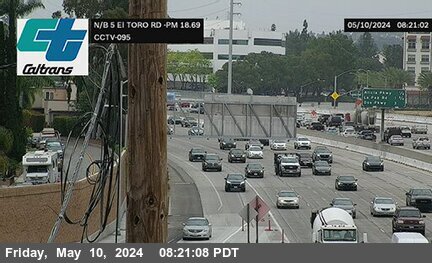


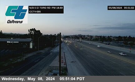
District: 12 Camera ID: 95
Location: I-5 : El Toro Road
View on Google Maps
Direction: North
Elevation: 370
Location: I-5 : El Toro Road
View on Google Maps
Direction: North
Elevation: 370
SR-73 near Newport Coast in Orange County
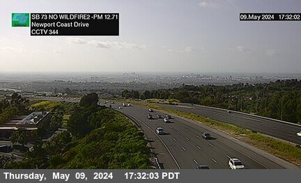


District: 12 Camera ID: 344
Location: SR-73 : South of Newport Coast Drive A
View on Google Maps
Direction: South
Elevation: 610
Location: SR-73 : South of Newport Coast Drive A
View on Google Maps
Direction: South
Elevation: 610
I-5 near Lake Forest in Orange County
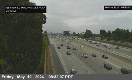


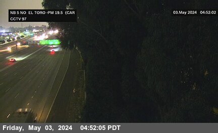
District: 12 Camera ID: 97
Location: I-5 : North of El Toro Road (Carlota)
View on Google Maps
Direction: North
Elevation: 347
Location: I-5 : North of El Toro Road (Carlota)
View on Google Maps
Direction: North
Elevation: 347
SR-73 near Newport Coast in Orange County
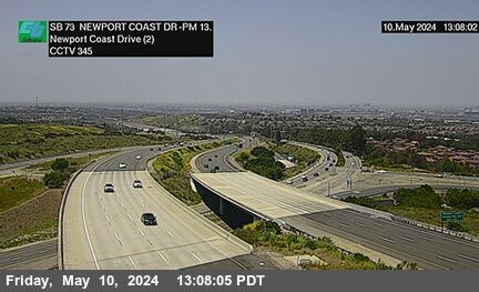


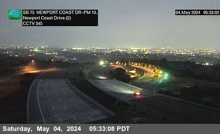
District: 12 Camera ID: 345
Location: SR-73 : South of Newport Coast Drive B
View on Google Maps
Direction: South
Elevation: 479
Location: SR-73 : South of Newport Coast Drive B
View on Google Maps
Direction: South
Elevation: 479
SR-73 near Newport Beach in Orange County
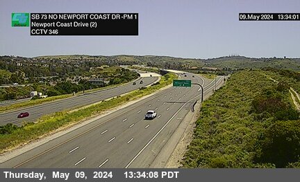


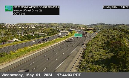
District: 12 Camera ID: 346
Location: SR-73 : North of Newport
View on Google Maps
Direction: South
Elevation: 337
Location: SR-73 : North of Newport
View on Google Maps
Direction: South
Elevation: 337
I-5 near Lake Forest in Orange County
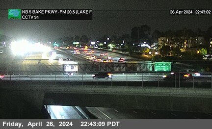


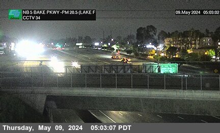
District: 12 Camera ID: 34
Location: I-5 : Bake Parkway (Lake Forest)
View on Google Maps
Direction: North
Elevation: 305
Location: I-5 : Bake Parkway (Lake Forest)
View on Google Maps
Direction: North
Elevation: 305
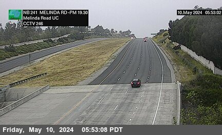
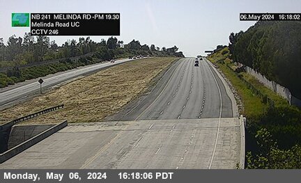
SR-241 near Trabuco Canyon in Orange County
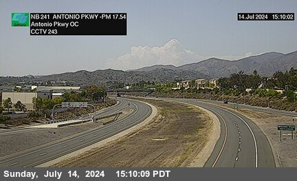


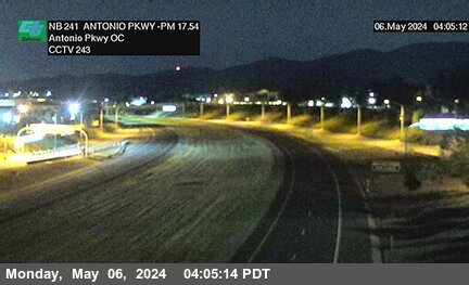
District: 12 Camera ID: 243
Location: SR-241 : North of Antonio Parkway Overcross
View on Google Maps
Direction: North
Elevation: 931
Location: SR-241 : North of Antonio Parkway Overcross
View on Google Maps
Direction: North
Elevation: 931
SR-73 near Irvine in Orange County
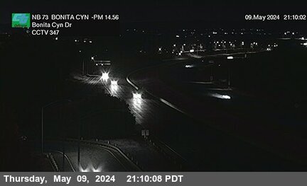


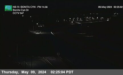
District: 12 Camera ID: 347
Location: SR-73 : Bonita Canyon
View on Google Maps
Direction: North
Elevation: 206
Location: SR-73 : Bonita Canyon
View on Google Maps
Direction: North
Elevation: 206
SR-73 near Irvine in Orange County
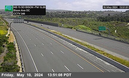


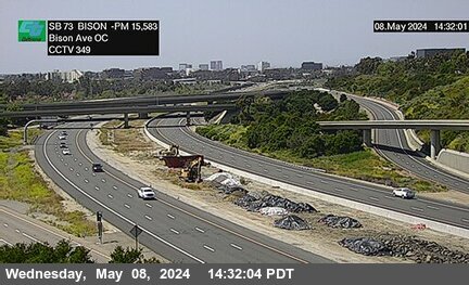
District: 12 Camera ID: 348
Location: SR-73 : South of Bison Avenue
View on Google Maps
Direction: North
Elevation: 160
Location: SR-73 : South of Bison Avenue
View on Google Maps
Direction: North
Elevation: 160
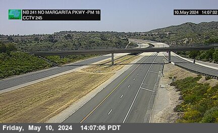
SR-241 near Trabuco Canyon in Orange County
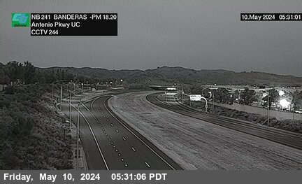


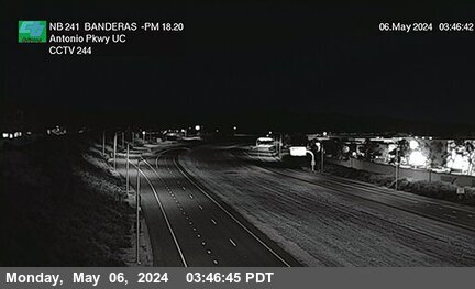
District: 12 Camera ID: 244
Location: SR-241 : Banderas 530 Meters North of Antonio Parkway Undercross
View on Google Maps
Direction: North
Elevation: 961
Location: SR-241 : Banderas 530 Meters North of Antonio Parkway Undercross
View on Google Maps
Direction: North
Elevation: 961
SR-73 near Newport Beach in Orange County


District: 12 Camera ID: 349
Location: SR-73 : Bison Avenue Overcross
View on Google Maps
Direction: South
Elevation: 72
Location: SR-73 : Bison Avenue Overcross
View on Google Maps
Direction: South
Elevation: 72
SR-73 near Newport Beach in Orange County


District: 12 Camera ID: 373
Location: SR-73 : MacArthur Offramp / Bison Ave
View on Google Maps
Direction: South
Elevation: 62
Location: SR-73 : MacArthur Offramp / Bison Ave
View on Google Maps
Direction: South
Elevation: 62
SR-241 near Rancho Santa Margarita in Orange County


District: 12 Camera ID: 245
Location: SR-241 : North of Santa Margarita Parkway Undercross
View on Google Maps
Direction: North
Elevation: 958
Location: SR-241 : North of Santa Margarita Parkway Undercross
View on Google Maps
Direction: North
Elevation: 958
I-5 near Irvine in Orange County
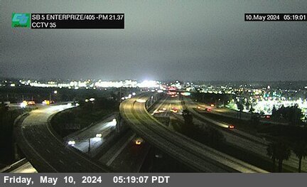


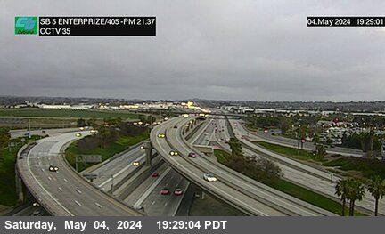
District: 12 Camera ID: 35
Location: I-5 : Enterprise Street / I-405
View on Google Maps
Direction: South
Elevation: 265
Location: I-5 : Enterprise Street / I-405
View on Google Maps
Direction: South
Elevation: 265
I-405 near Irvine in Orange County


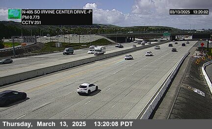
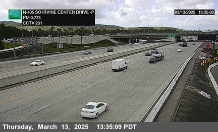
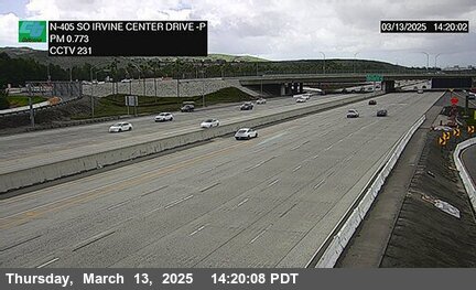
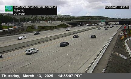
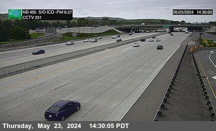
District: 12 Camera ID: 231
Location: I-405 : South of Irvine Center Drive
View on Google Maps
Direction: North
Elevation: 216
Location: I-405 : South of Irvine Center Drive
View on Google Maps
Direction: North
Elevation: 216
SR-73 near Irvine in Orange County
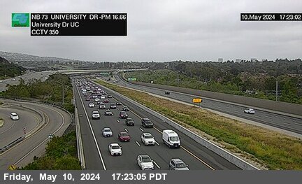


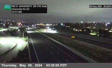
District: 12 Camera ID: 350
Location: SR-73 : South of University Drive Undercross
View on Google Maps
Direction: North
Elevation: 42
Location: SR-73 : South of University Drive Undercross
View on Google Maps
Direction: North
Elevation: 42
I-405 near Irvine in Orange County

SR-241 near Rancho Santa Margarita in Orange County


District: 12 Camera ID: 246
Location: SR-241 : 30 Meters South of Melinda Road Undercross
View on Google Maps
Direction: North
Elevation: 1026
Location: SR-241 : 30 Meters South of Melinda Road Undercross
View on Google Maps
Direction: North
Elevation: 1026
SR-241 near Rancho Santa Margarita in Orange County


District: 12 Camera ID: 247
Location: SR-241 : Los Alisos Boulevard
View on Google Maps
Direction: North
Elevation: 1040
Location: SR-241 : Los Alisos Boulevard
View on Google Maps
Direction: North
Elevation: 1040
SR-73 near Newport Beach in Orange County


District: 12 Camera ID: 351
Location: SR-73 : Jamboree Road
View on Google Maps
Direction: North
Elevation: 59
Location: SR-73 : Jamboree Road
View on Google Maps
Direction: North
Elevation: 59
I-5 near Irvine in Orange County


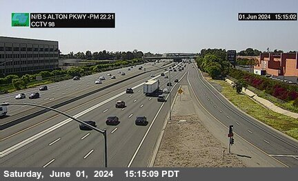
District: 12 Camera ID: 98
Location: I-5 : Alton Parkway
View on Google Maps
Direction: North
Elevation: 236
Location: I-5 : Alton Parkway
View on Google Maps
Direction: North
Elevation: 236
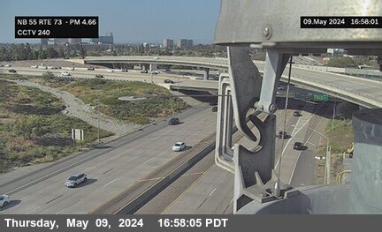
SR-55 near Costa Mesa in Orange County
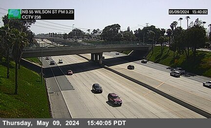


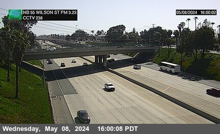
District: 12 Camera ID: 238
Location: SR-55 : Wilson Street
View on Google Maps
Direction: North
Elevation: 82
Location: SR-55 : Wilson Street
View on Google Maps
Direction: North
Elevation: 82
I-405 near Irvine in Orange County
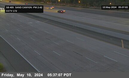
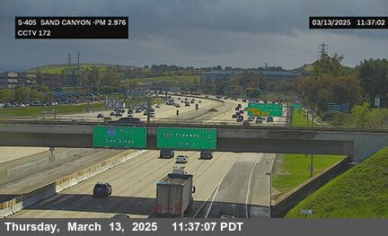
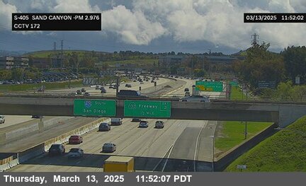

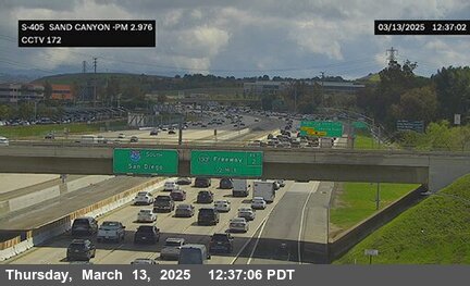
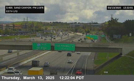


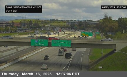
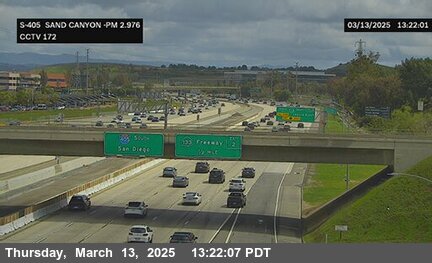
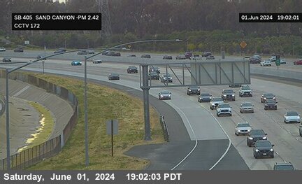
District: 12 Camera ID: 172
Location: I-405 : Sand Canyon
View on Google Maps
Direction: South
Elevation: 147
Location: I-405 : Sand Canyon
View on Google Maps
Direction: South
Elevation: 147
SR-73 near Newport Beach in Orange County
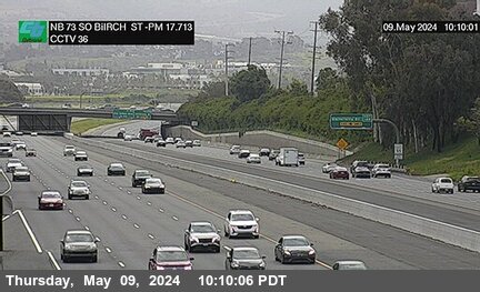


District: 12 Camera ID: 36
Location: SR-73 : South of Birch Street Overcross
View on Google Maps
Direction: North
Elevation: 62
Location: SR-73 : South of Birch Street Overcross
View on Google Maps
Direction: North
Elevation: 62
SR-241 near Mission Viejo in Orange County


District: 12 Camera ID: 248
Location: SR-241 : Aliso Creek 50 Meters South of El Toro Road Undercross
View on Google Maps
Direction: North
Elevation: 925
Location: SR-241 : Aliso Creek 50 Meters South of El Toro Road Undercross
View on Google Maps
Direction: North
Elevation: 925
I-5 near Irvine in Orange County


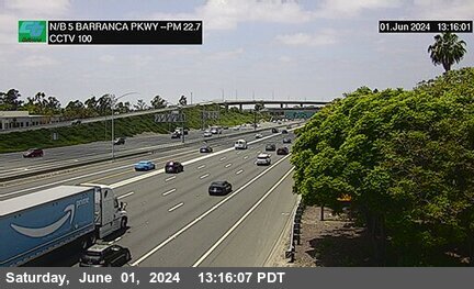
District: 12 Camera ID: 100
Location: I-5 : Barranca Parkway
View on Google Maps
Direction: North
Elevation: 232
Location: I-5 : Barranca Parkway
View on Google Maps
Direction: North
Elevation: 232
I-405 near Irvine in Orange County
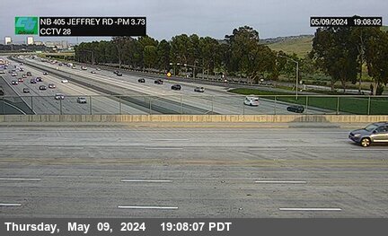
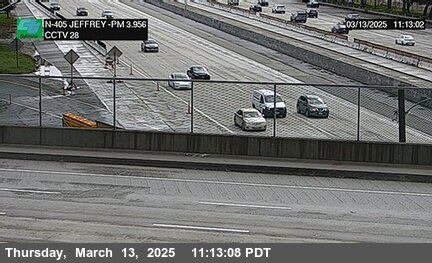
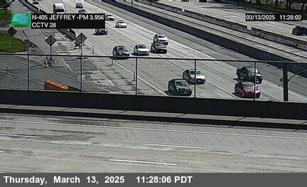
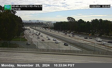
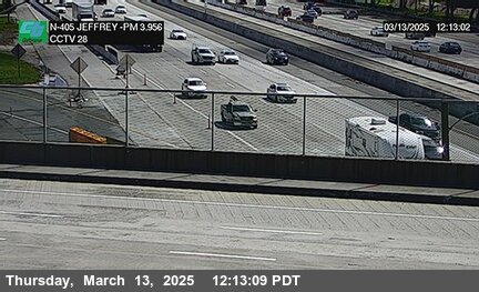


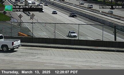
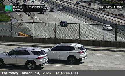
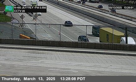
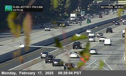
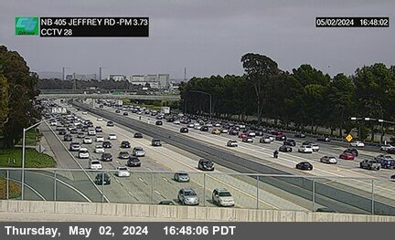
District: 12 Camera ID: 28
Location: I-405 : Jeffrey
View on Google Maps
Direction: North
Elevation: 131
Location: I-405 : Jeffrey
View on Google Maps
Direction: North
Elevation: 131
SR-55 near Costa Mesa in Orange County
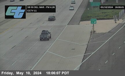


District: 12 Camera ID: 11
Location: SR-55 : Del Mar Avenue
View on Google Maps
Direction: South
Elevation: 68
Location: SR-55 : Del Mar Avenue
View on Google Maps
Direction: South
Elevation: 68
SR-73 near Santa Ana in Orange County
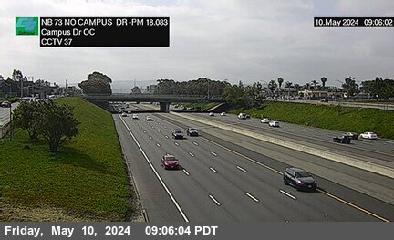


District: 12 Camera ID: 37
Location: SR-73 : North of Campus Drive Overcross
View on Google Maps
Direction: North
Elevation: 42
Location: SR-73 : North of Campus Drive Overcross
View on Google Maps
Direction: North
Elevation: 42
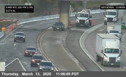
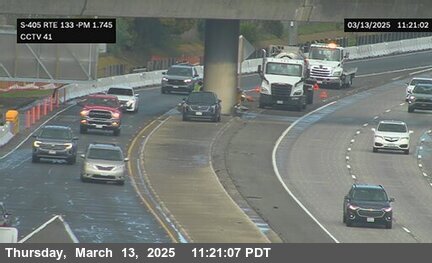
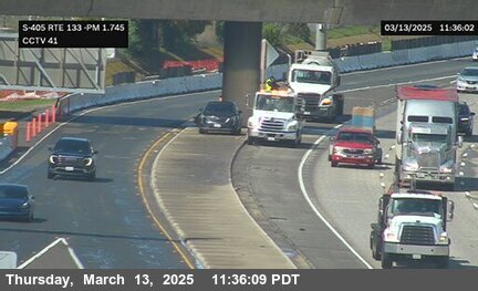
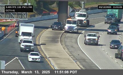
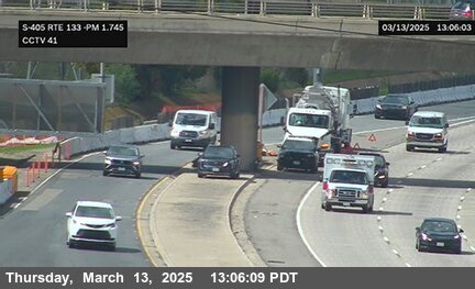
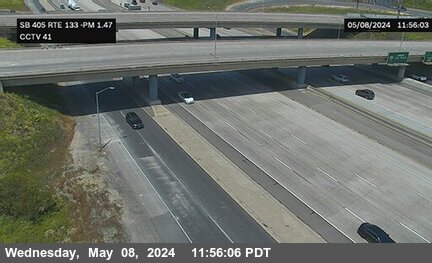
SR-133 near Irvine in Orange County


SR-241 near Foothill Ranch in Orange County
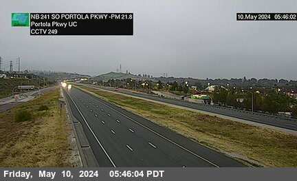


District: 12 Camera ID: 249
Location: SR-241 : 80 Meters South of Portola Parkway Undercross
View on Google Maps
Direction: North
Elevation: 810
Location: SR-241 : 80 Meters South of Portola Parkway Undercross
View on Google Maps
Direction: North
Elevation: 810
SR-73 near Costa Mesa in Orange County
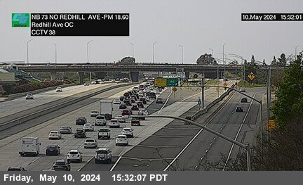


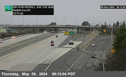
District: 12 Camera ID: 38
Location: SR-73 : North of Redhill Avenue Overcross
View on Google Maps
Direction: North
Elevation: 39
Location: SR-73 : North of Redhill Avenue Overcross
View on Google Maps
Direction: North
Elevation: 39
SR-55 near Costa Mesa in Orange County
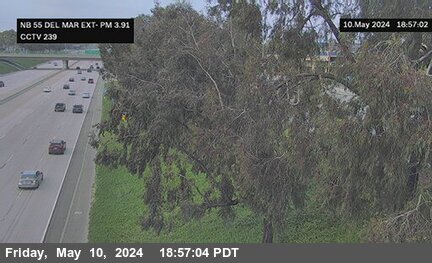


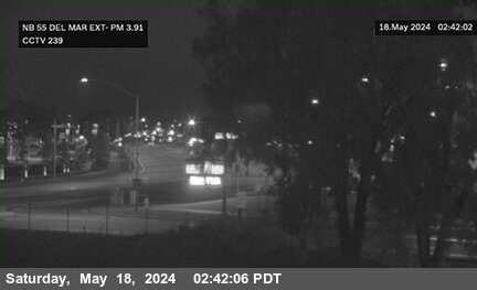
District: 12 Camera ID: 239
Location: SR-55 : Del Mar Avenue Exit
View on Google Maps
Direction: South
Elevation: 59
Location: SR-55 : Del Mar Avenue Exit
View on Google Maps
Direction: South
Elevation: 59
I-405 near Irvine in Orange County


SR-241 near Foothill Ranch in Orange County


District: 12 Camera ID: 250
Location: SR-241 : 40 Meters South of Lake Forestreet Drive Undercross
View on Google Maps
Direction: North
Elevation: 787
Location: SR-241 : 40 Meters South of Lake Forestreet Drive Undercross
View on Google Maps
Direction: North
Elevation: 787
SR-55 near Costa Mesa in Orange County


I-5 near Irvine in Orange County
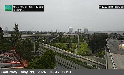


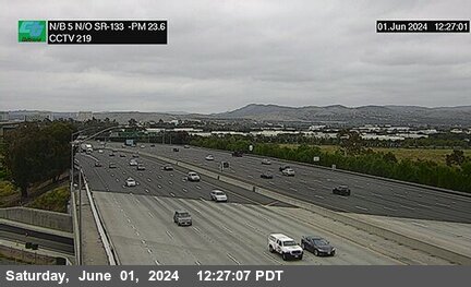
District: 12 Camera ID: 219
Location: I-5 : North of SR-133
View on Google Maps
Direction: North
Elevation: 232
Location: I-5 : North of SR-133
View on Google Maps
Direction: North
Elevation: 232
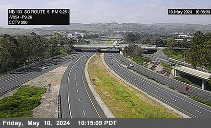
SR-133 near Irvine in Orange County


District: 12 Camera ID: 281
Location: SR-133 : South of Marine Way Undercross
View on Google Maps
Direction: North
Elevation: 246
Location: SR-133 : South of Marine Way Undercross
View on Google Maps
Direction: North
Elevation: 246
SR-241 near Foothill Ranch in Orange County


District: 12 Camera ID: 251
Location: SR-241 : 310 Meters North of Bake Parkway Overcross
View on Google Maps
Direction: North
Elevation: 784
Location: SR-241 : 310 Meters North of Bake Parkway Overcross
View on Google Maps
Direction: North
Elevation: 784
I-405 near Irvine in Orange County
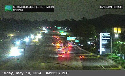
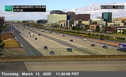
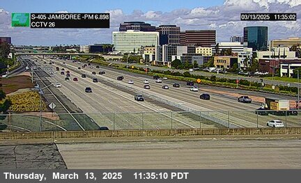
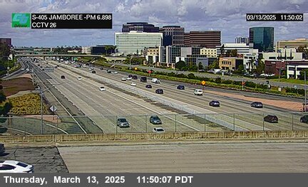
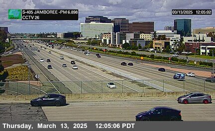
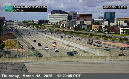
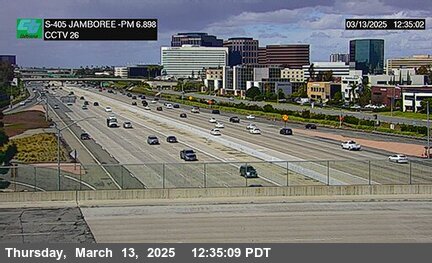
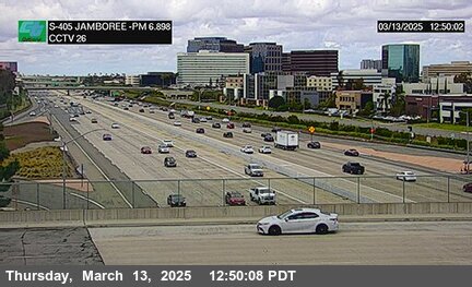
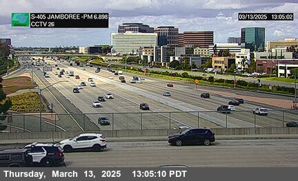
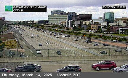
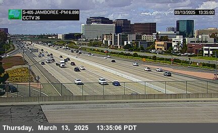
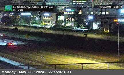
District: 12 Camera ID: 26
Location: I-405 : Jamboree
View on Google Maps
Direction: South
Elevation: 55
Location: I-405 : Jamboree
View on Google Maps
Direction: South
Elevation: 55
I-5 near Irvine in Orange County
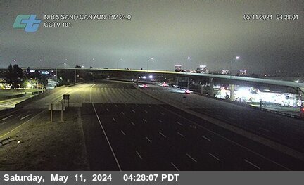


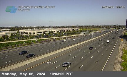
District: 12 Camera ID: 101
Location: I-5 : Sand Canyon
View on Google Maps
Direction: North
Elevation: 216
Location: I-5 : Sand Canyon
View on Google Maps
Direction: North
Elevation: 216
SR-55 near Costa Mesa in Orange County
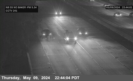


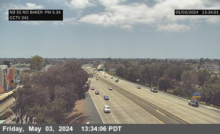
District: 12 Camera ID: 241
Location: SR-55 : North of Baker Street
View on Google Maps
Direction: North
Elevation: 59
Location: SR-55 : North of Baker Street
View on Google Maps
Direction: North
Elevation: 59
SR-241 near Foothill Ranch in Orange County
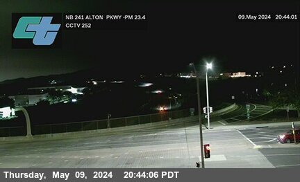


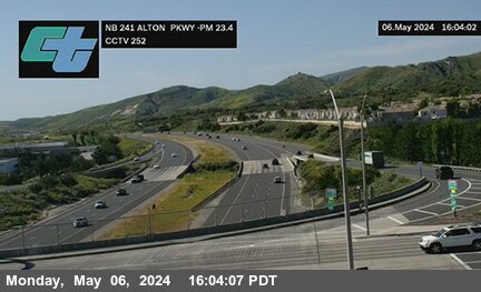
District: 12 Camera ID: 252
Location: SR-241 : 80 Meters South of Alton Parkway Overcross
View on Google Maps
Direction: North
Elevation: 770
Location: SR-241 : 80 Meters South of Alton Parkway Overcross
View on Google Maps
Direction: North
Elevation: 770
SR-73 near Costa Mesa in Orange County
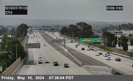


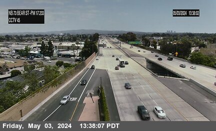
District: 12 Camera ID: 45
Location: SR-73 : Bear Street
View on Google Maps
Direction: North
Elevation: 65
Location: SR-73 : Bear Street
View on Google Maps
Direction: North
Elevation: 65
SR-133 near Irvine in Orange County
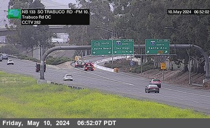


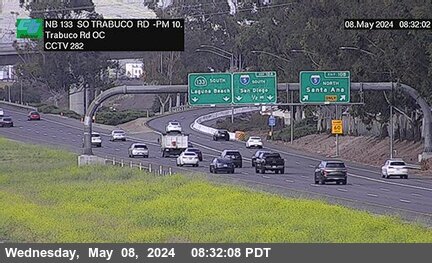
District: 12 Camera ID: 282
Location: SR-133 : South of Trabuco Road Overcross
View on Google Maps
Direction: North
Elevation: 246
Location: SR-133 : South of Trabuco Road Overcross
View on Google Maps
Direction: North
Elevation: 246
I-405 near Santa Ana in Orange County
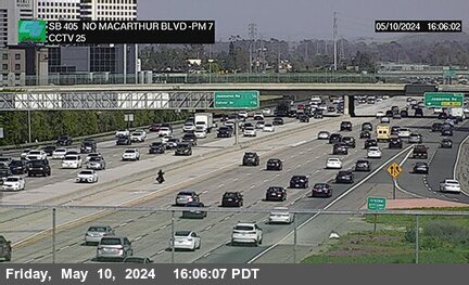


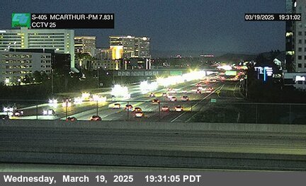
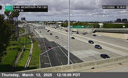

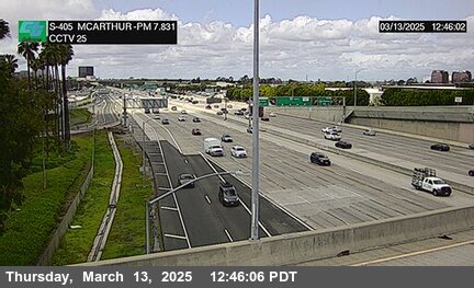

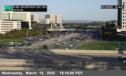
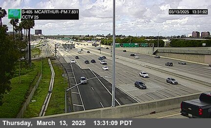
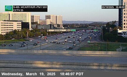

District: 12 Camera ID: 25
Location: I-405 : North of MacArthur
View on Google Maps
Direction: South
Elevation: 49
Location: I-405 : North of MacArthur
View on Google Maps
Direction: South
Elevation: 49
I-405 near Costa Mesa in Orange County
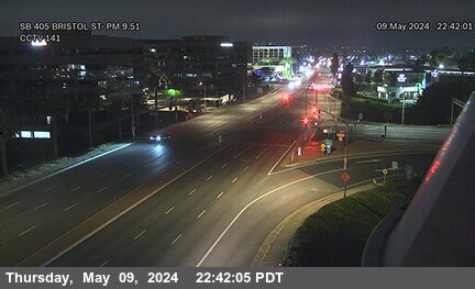
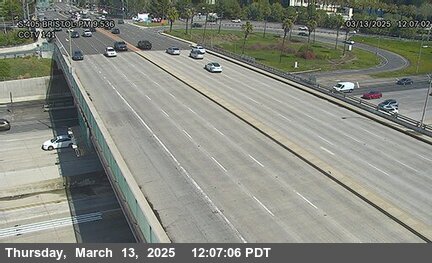

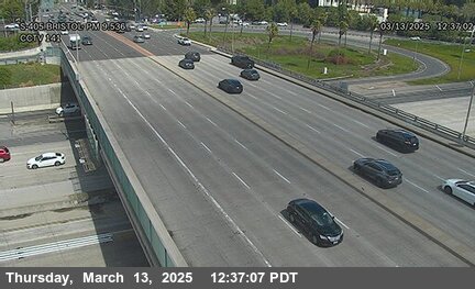
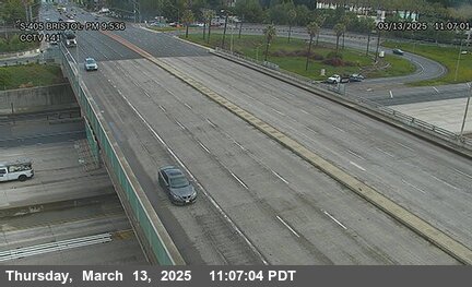
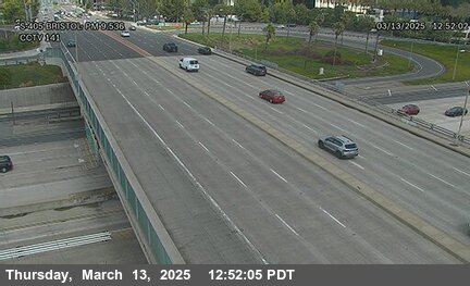
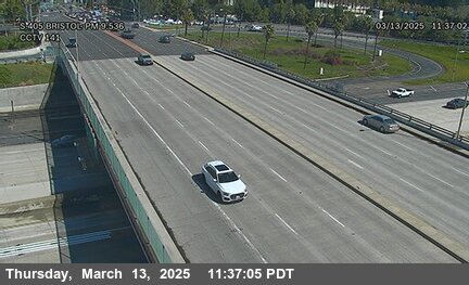
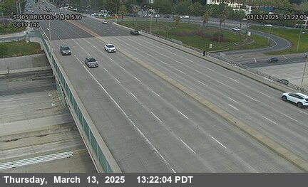
District: 12 Camera ID: 141
Location: I-405 : North of Bristol Street
View on Google Maps
Direction: South
Elevation: 49
Location: I-405 : North of Bristol Street
View on Google Maps
Direction: South
Elevation: 49
SR-55 near Costa Mesa in Orange County


SR-55 near Costa Mesa in Orange County


District: 12 Camera ID: 242
Location: SR-55 : I-405 B
View on Google Maps
Direction: North
Elevation: 55
Location: SR-55 : I-405 B
View on Google Maps
Direction: North
Elevation: 55
I-405 near Costa Mesa in Orange County

I-5 near Irvine in Orange County


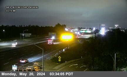
District: 12 Camera ID: 271
Location: I-5 : Jeffrey Park and Ride
View on Google Maps
Direction: South
Elevation: 167
Location: I-5 : Jeffrey Park and Ride
View on Google Maps
Direction: South
Elevation: 167
I-405 near Costa Mesa in Orange County
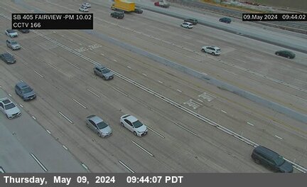
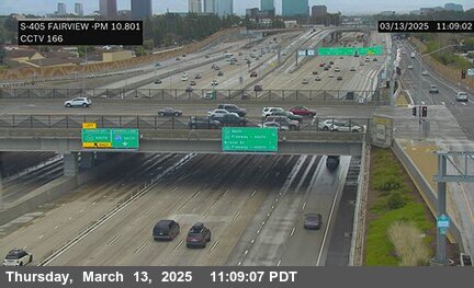
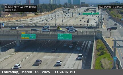
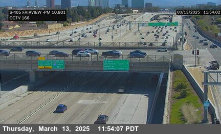

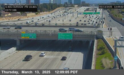
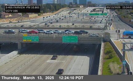
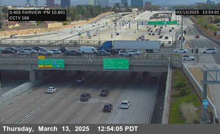

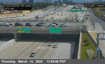
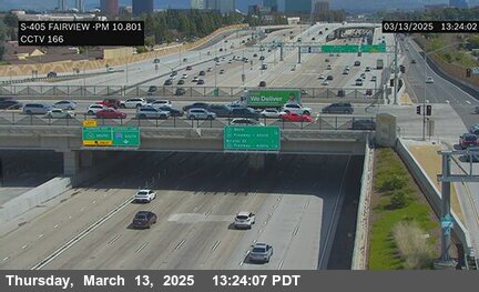
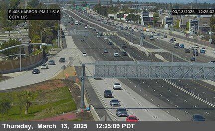
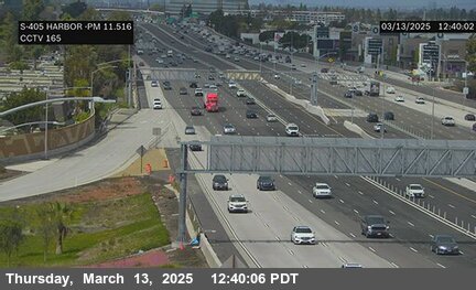
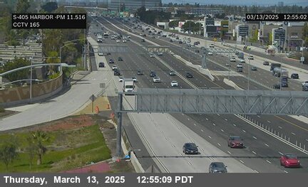
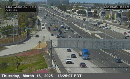
District: 12 Camera ID: 166
Location: I-405 : Fairview
View on Google Maps
Direction: North
Elevation: 42
Location: I-405 : Fairview
View on Google Maps
Direction: North
Elevation: 42
I-405 near Costa Mesa in Orange County


District: 12 Camera ID: 376
Location: I-405 : Harbor Off Ramp
View on Google Maps
Direction: South
Elevation: 36
Location: I-405 : Harbor Off Ramp
View on Google Maps
Direction: South
Elevation: 36
I-5 near Irvine in Orange County


District: 12 Camera ID: 102
Location: I-5 : Jeffrey Road
View on Google Maps
Direction: North
Elevation: 167
Location: I-5 : Jeffrey Road
View on Google Maps
Direction: North
Elevation: 167
SR-133 near Irvine in Orange County


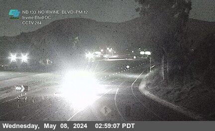
District: 12 Camera ID: 283
Location: SR-133 : South of Irvine Blvd Overcross
View on Google Maps
Direction: North
Elevation: 288
Location: SR-133 : South of Irvine Blvd Overcross
View on Google Maps
Direction: North
Elevation: 288
I-405 near Costa Mesa in Orange County


SR-241 near Foothill Ranch in Orange County


District: 12 Camera ID: 253
Location: SR-241 : 780 Meters South of Portola Parkway Overcross
View on Google Maps
Direction: North
Elevation: 731
Location: SR-241 : 780 Meters South of Portola Parkway Overcross
View on Google Maps
Direction: North
Elevation: 731
SR-241 near Foothill Ranch in Orange County


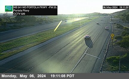
District: 12 Camera ID: 320
Location: SR-241 : 40 Meters North of Portola Parkway
View on Google Maps
Direction: North
Elevation: 698
Location: SR-241 : 40 Meters North of Portola Parkway
View on Google Maps
Direction: North
Elevation: 698
I-405 near Fountain Valley in Orange County
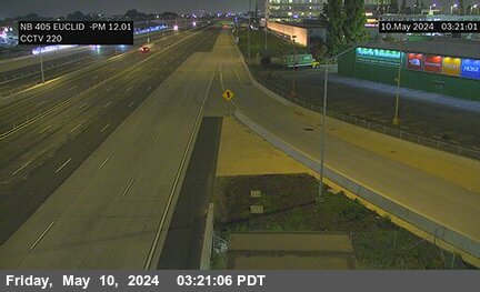
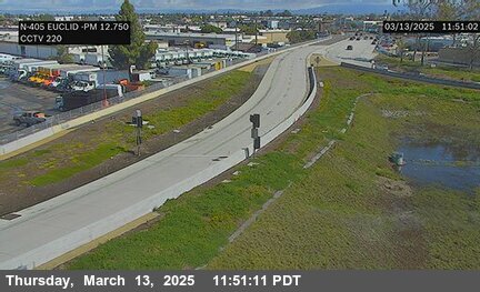
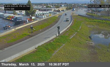
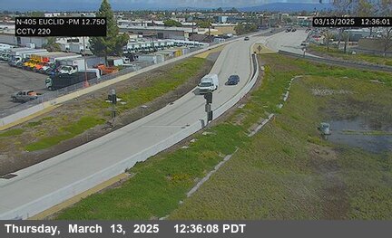

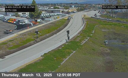

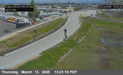
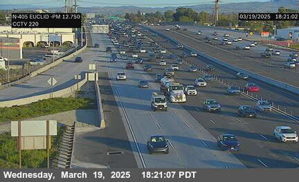
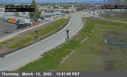
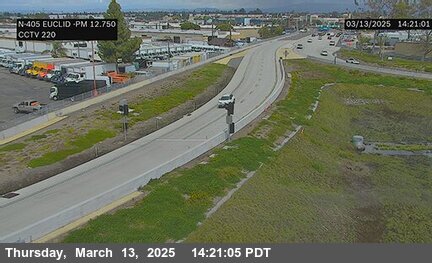
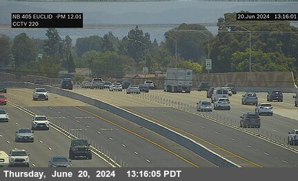
District: 12 Camera ID: 220
Location: I-405 : North of Euclid Street
View on Google Maps
Direction: North
Elevation: 42
Location: I-405 : North of Euclid Street
View on Google Maps
Direction: North
Elevation: 42
SR-133 near Irvine in Orange County


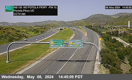
District: 12 Camera ID: 284
Location: SR-133 : North of Irvine Boulevard Overcross
View on Google Maps
Direction: North
Elevation: 337
Location: SR-133 : North of Irvine Boulevard Overcross
View on Google Maps
Direction: North
Elevation: 337
SR-55 near Irvine in Orange County


District: 12 Camera ID: 23
Location: SR-55 : MacArthur
View on Google Maps
Direction: North
Elevation: 52
Location: SR-55 : MacArthur
View on Google Maps
Direction: North
Elevation: 52
I-405 near Fountain Valley in Orange County


I-5 near Irvine in Orange County
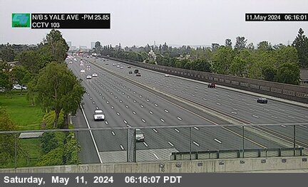


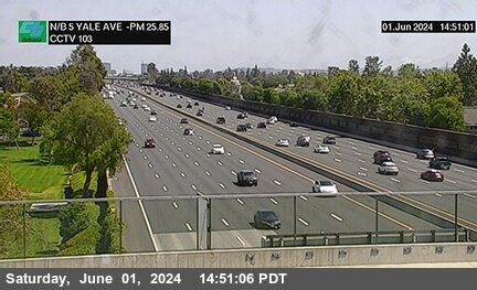
District: 12 Camera ID: 103
Location: I-5 : Yale Avenue
View on Google Maps
Direction: North
Elevation: 150
Location: I-5 : Yale Avenue
View on Google Maps
Direction: North
Elevation: 150
SR-241 near Foothill Ranch in Orange County
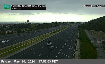


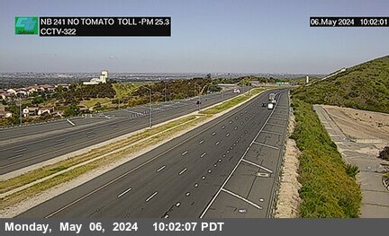
District: 12 Camera ID: 322
Location: SR-241 : North of Tomato Toll
View on Google Maps
Direction: North
Elevation: 606
Location: SR-241 : North of Tomato Toll
View on Google Maps
Direction: North
Elevation: 606
I-5 near Irvine in Orange County


District: 12 Camera ID: 195
Location: I-5 : North of Yale Avenue
View on Google Maps
Direction: North
Elevation: 134
Location: I-5 : North of Yale Avenue
View on Google Maps
Direction: North
Elevation: 134
SR-133 near Irvine in Orange County
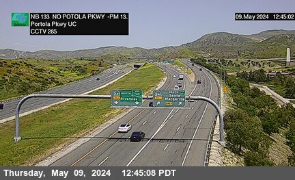


District: 12 Camera ID: 285
Location: SR-133 : North of Portola
View on Google Maps
Direction: North
Elevation: 426
Location: SR-133 : North of Portola
View on Google Maps
Direction: North
Elevation: 426
I-405 near Fountain Valley in Orange County
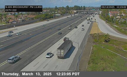
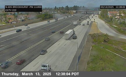
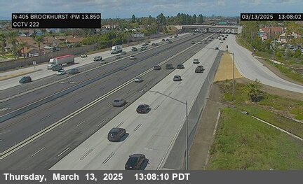
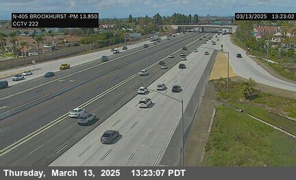
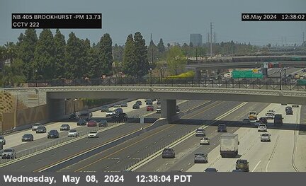
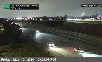
District: 12 Camera ID: 222
Location: I-405 : Brookhurst Street
View on Google Maps
Direction: North
Elevation: 39
Location: I-405 : Brookhurst Street
View on Google Maps
Direction: North
Elevation: 39
SR-133 near Irvine in Orange County
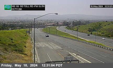


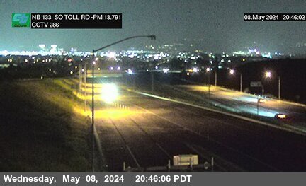
District: 12 Camera ID: 286
Location: SR-133 : South of Toll Plaza
View on Google Maps
Direction: North
Elevation: 511
Location: SR-133 : South of Toll Plaza
View on Google Maps
Direction: North
Elevation: 511
I-5 near Irvine in Orange County
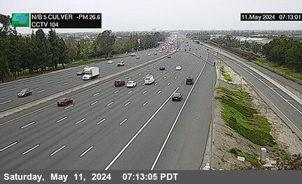


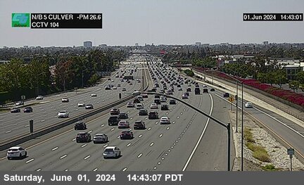
District: 12 Camera ID: 104
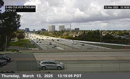
Location: I-5 : Culver Drive
View on Google Maps
Direction: North
Elevation: 141
Location: I-5 : Culver Drive
View on Google Maps
Direction: North
Elevation: 141
SR-241 near Foothill Ranch in Orange County
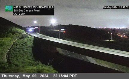


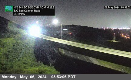
District: 12 Camera ID: 287
Location: SR-241 : 750 Meters South of Bee Canyon Road
View on Google Maps
Direction: North
Elevation: 551
Location: SR-241 : 750 Meters South of Bee Canyon Road
View on Google Maps
Direction: North
Elevation: 551
I-405 near Fountain Valley in Orange County
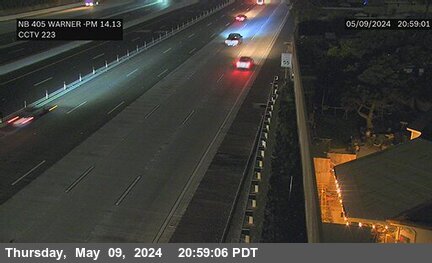

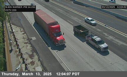
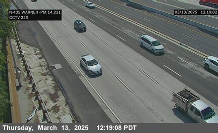
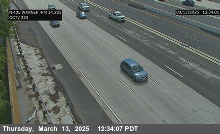
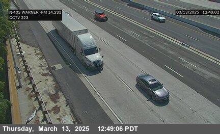
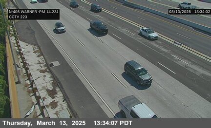
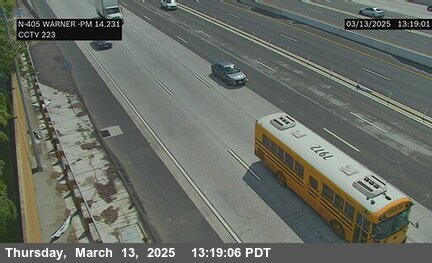

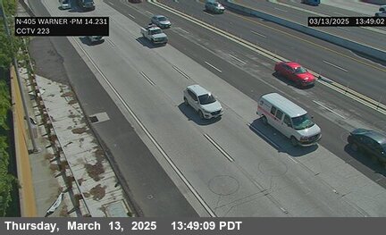
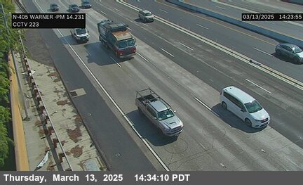
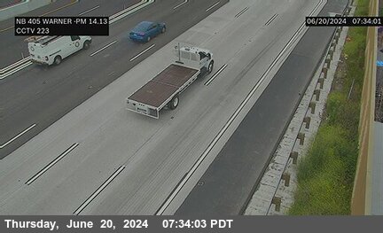
District: 12 Camera ID: 223
Location: I-405 : South of Warner Avenue
View on Google Maps
Direction: North
Elevation: 45
Location: I-405 : South of Warner Avenue
View on Google Maps
Direction: North
Elevation: 45
SR-55 near Santa Ana in Orange County


District: 12 Camera ID: 22
Location: SR-55 : Warner Avenue
View on Google Maps
Direction: North
Elevation: 75
Location: SR-55 : Warner Avenue
View on Google Maps
Direction: North
Elevation: 75
I-405 near Fountain Valley in Orange County
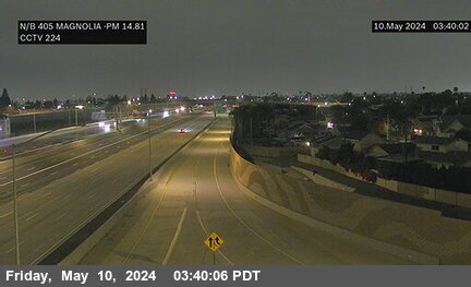

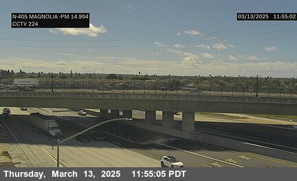

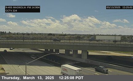
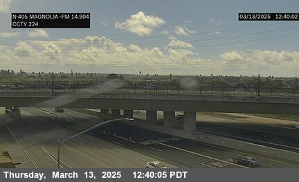
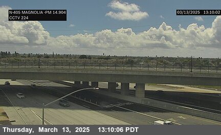
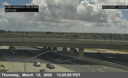

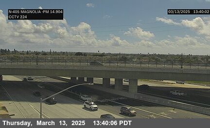
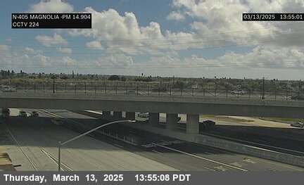
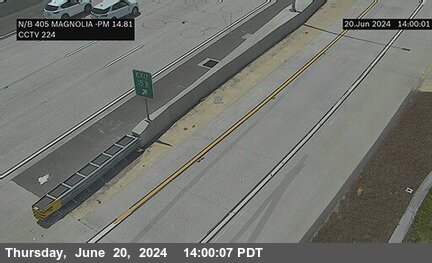
District: 12 Camera ID: 224
Location: I-405 : South of Magnolia
View on Google Maps
Direction: North
Elevation: 36
Location: I-405 : South of Magnolia
View on Google Maps
Direction: North
Elevation: 36
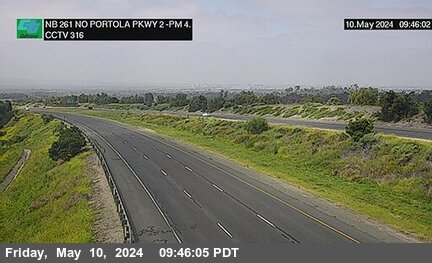
SR-261 near Irvine in Orange County
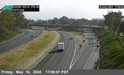


District: 12 Camera ID: 310
Location: SR-261 : 200 Meters South of I-5
View on Google Maps
Direction: South
Elevation: 82
Location: SR-261 : 200 Meters South of I-5
View on Google Maps
Direction: South
Elevation: 82
SR-241 near Irvine in Orange County
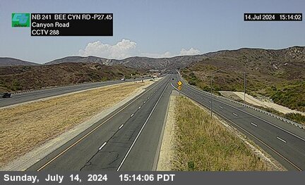


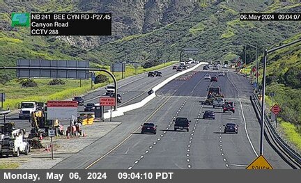
District: 12 Camera ID: 288
Location: SR-241 : 50 Meters South of Bee Canyon Road
View on Google Maps
Direction: North
Elevation: 600
Location: SR-241 : 50 Meters South of Bee Canyon Road
View on Google Maps
Direction: North
Elevation: 600
I-5 near Tustin in Orange County


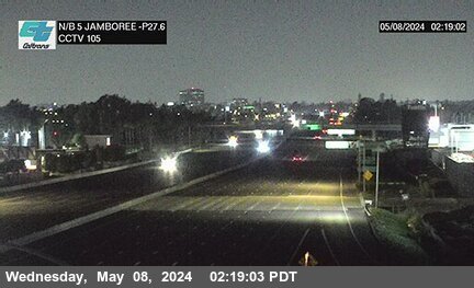
District: 12 Camera ID: 105
Location: I-5 : Jamboree Road
View on Google Maps
Direction: North
Elevation: 88
Location: I-5 : Jamboree Road
View on Google Maps
Direction: North
Elevation: 88
SR-261 near Irvine in Orange County
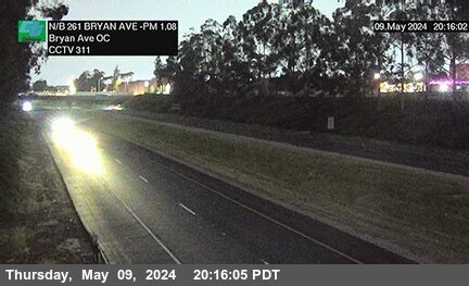


District: 12 Camera ID: 311
Location: SR-261 : 100 Meters South of Bryan Avenue Overcross
View on Google Maps
Direction: North
Elevation: 101
Location: SR-261 : 100 Meters South of Bryan Avenue Overcross
View on Google Maps
Direction: North
Elevation: 101
I-405 near Westminster in Orange County
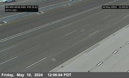
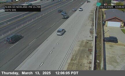
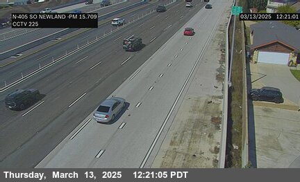

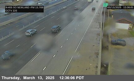
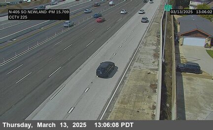
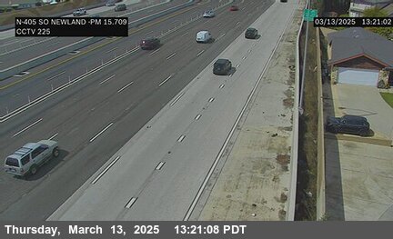


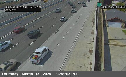
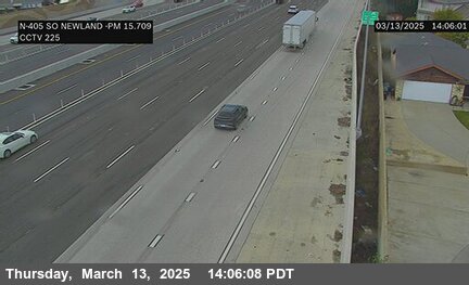
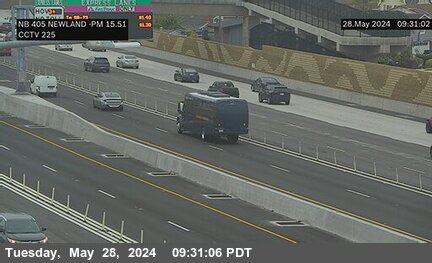
District: 12 Camera ID: 225
Location: I-405 : South of Newland Street
View on Google Maps
Direction: North
Elevation: 39
Location: I-405 : South of Newland Street
View on Google Maps
Direction: North
Elevation: 39
SR-55 near Tustin in Orange County


District: 12 Camera ID: 21
Location: SR-55 : Edinger Avenue
View on Google Maps
Direction: North
Elevation: 101
Location: SR-55 : Edinger Avenue
View on Google Maps
Direction: North
Elevation: 101
SR-261 near Irvine in Orange County
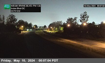


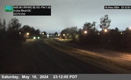
District: 12 Camera ID: 312
Location: SR-261 : 70 Meters South of Irvine Boulevard Overcross
View on Google Maps
Direction: North
Elevation: 111
Location: SR-261 : 70 Meters South of Irvine Boulevard Overcross
View on Google Maps
Direction: North
Elevation: 111
I-5 near Tustin in Orange County
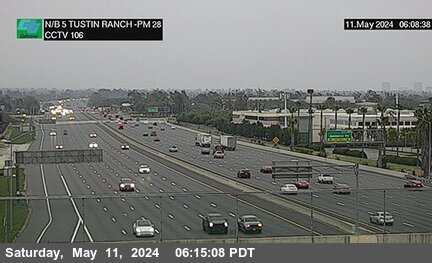


District: 12 Camera ID: 106
Location: I-5 : Tustin Ranch Road
View on Google Maps
Direction: North
Elevation: 98
Location: I-5 : Tustin Ranch Road
View on Google Maps
Direction: North
Elevation: 98
SR-241 near Irvine in Orange County
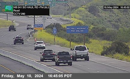


District: 12 Camera ID: 290
Location: SR-241 : 800 Meters South of Haul Road
View on Google Maps
Direction: North
Elevation: 698
Location: SR-241 : 800 Meters South of Haul Road
View on Google Maps
Direction: North
Elevation: 698
I-5 near Tustin in Orange County


District: 12 Camera ID: 197
Location: I-5 : South of Redhill Avenue
View on Google Maps
Direction: North
Elevation: 108
Location: I-5 : South of Redhill Avenue
View on Google Maps
Direction: North
Elevation: 108
I-405 near Westminster in Orange County


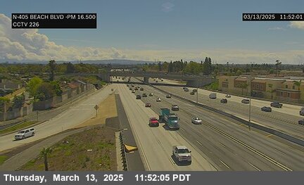
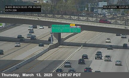
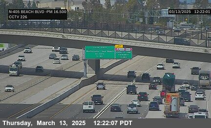
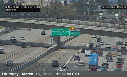
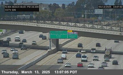
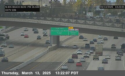
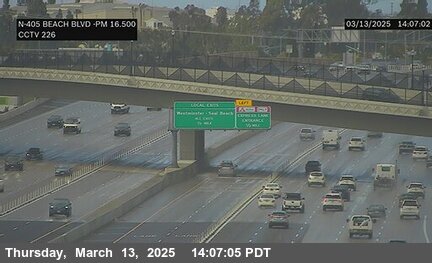
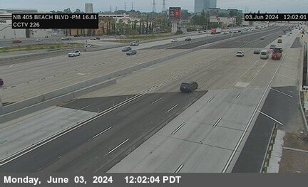
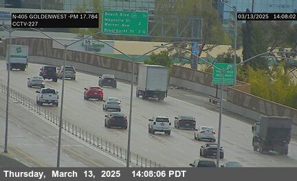
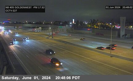
District: 12 Camera ID: 226
Location: I-405 : Beach Blvd
View on Google Maps
Direction: South
Elevation: 55
Location: I-405 : Beach Blvd
View on Google Maps
Direction: South
Elevation: 55
SR-261 near Irvine in Orange County
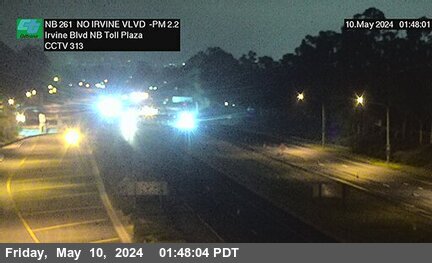


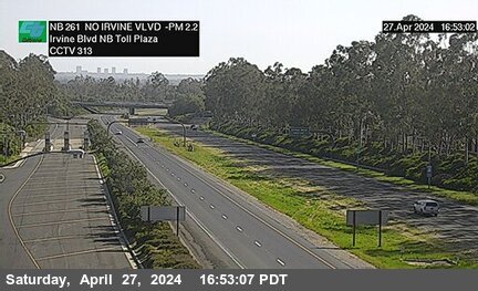
District: 12 Camera ID: 313
Location: SR-261 : 370 Meters North of Irvine Boulevard Northbound Toll Plaza
View on Google Maps
Direction: North
Elevation: 157
Location: SR-261 : 370 Meters North of Irvine Boulevard Northbound Toll Plaza
View on Google Maps
Direction: North
Elevation: 157
SR-55 near Tustin in Orange County
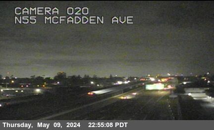


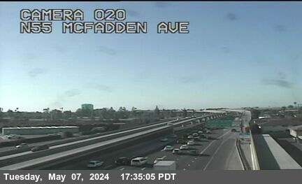
District: 12 Camera ID: 20
Location: SR-55 : McFadden Avenue
View on Google Maps
Direction: North
Elevation: 121
Location: SR-55 : McFadden Avenue
View on Google Maps
Direction: North
Elevation: 121
I-5 near Tustin in Orange County


District: 12 Camera ID: 107
Location: I-5 : South of Newport Avenue
View on Google Maps
Direction: North
Elevation: 131
Location: I-5 : South of Newport Avenue
View on Google Maps
Direction: North
Elevation: 131
SR-241 near Irvine in Orange County


District: 12 Camera ID: 291
Location: SR-241 : 180 Meters North of Haul Road
View on Google Maps
Direction: North
Elevation: 751
Location: SR-241 : 180 Meters North of Haul Road
View on Google Maps
Direction: North
Elevation: 751
SR-261 near Irvine in Orange County


District: 12 Camera ID: 314
Location: SR-261 : 80 Meters South of Portola Parkway (West) Overcross
View on Google Maps
Direction: North
Elevation: 239
Location: SR-261 : 80 Meters South of Portola Parkway (West) Overcross
View on Google Maps
Direction: North
Elevation: 239
I-5 near Tustin in Orange County


I-405 near Westminster in Orange County


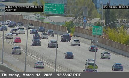
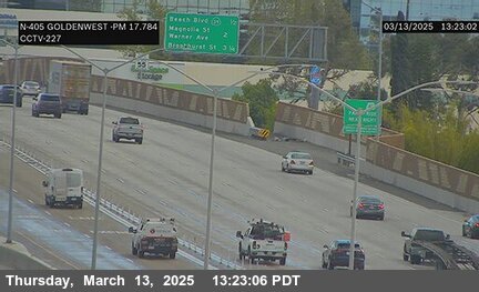
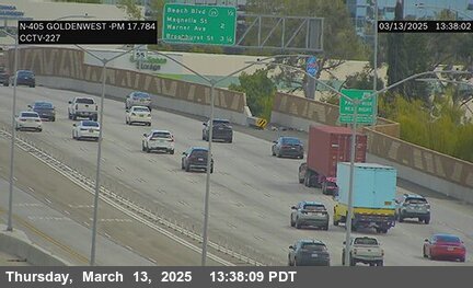
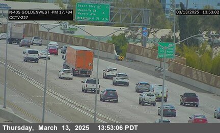
District: 12 Camera ID: 227
Location: I-405 : Goldenwest Avenue
View on Google Maps
Direction: North
Elevation: 36
Location: I-405 : Goldenwest Avenue
View on Google Maps
Direction: North
Elevation: 36
SR-241 near Irvine in Orange County


District: 12 Camera ID: 292
Location: SR-241 : 500 Meters South of South Culver Drive
View on Google Maps
Direction: North
Elevation: 813
Location: SR-241 : 500 Meters South of South Culver Drive
View on Google Maps
Direction: North
Elevation: 813
I-5 near Santa Ana in Orange County


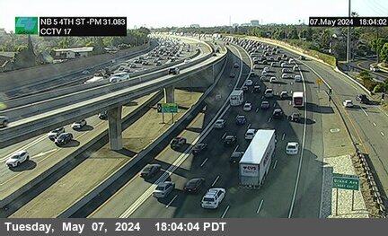
District: 12 Camera ID: 17
Location: I-5 : 4th Street
View on Google Maps
Direction: North
Elevation: 154
Location: I-5 : 4th Street
View on Google Maps
Direction: North
Elevation: 154
SR-261 near Irvine in Orange County


District: 12 Camera ID: 315
Location: SR-261 : 940 Meters North of Portola Parkway (West) Overcross
View on Google Maps
Direction: North
Elevation: 314
Location: SR-261 : 940 Meters North of Portola Parkway (West) Overcross
View on Google Maps
Direction: North
Elevation: 314
SR-55 near Tustin in Orange County


District: 12 Camera ID: 19
Location: SR-55 : 4th Street
View on Google Maps
Direction: North
Elevation: 164
Location: SR-55 : 4th Street
View on Google Maps
Direction: North
Elevation: 164
I-405 near Westminster in Orange County
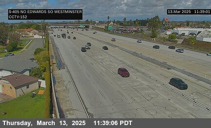
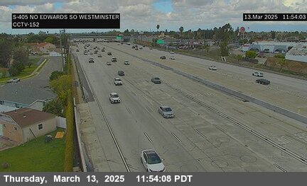
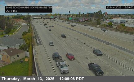
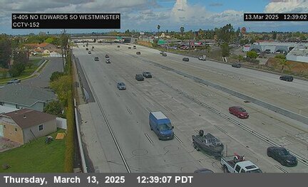
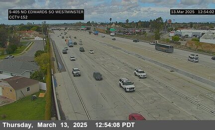

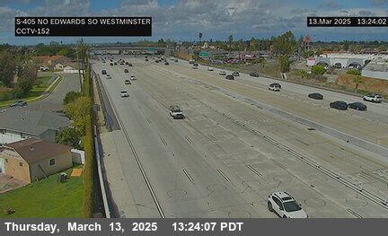
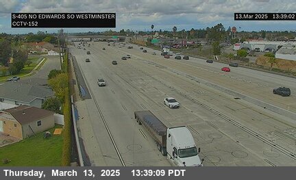
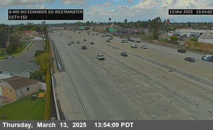
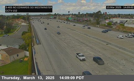
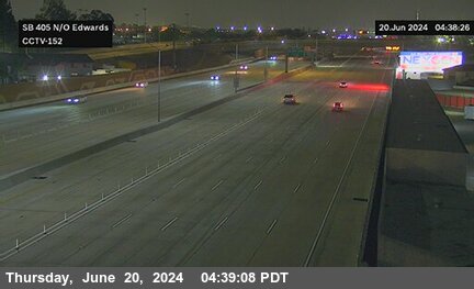
District: 12 Camera ID: 377
Location: I-405 : North of Edwards
View on Google Maps
Direction: South
Elevation: 49
Location: I-405 : North of Edwards
View on Google Maps
Direction: South
Elevation: 49
SR-241 near Irvine in Orange County


District: 12 Camera ID: 293
Location: SR-241 : 400 Meters North of South Culver Drive
View on Google Maps
Direction: North
Elevation: 921
Location: SR-241 : 400 Meters North of South Culver Drive
View on Google Maps
Direction: North
Elevation: 921
I-405 near Westminster in Orange County
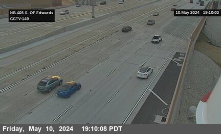
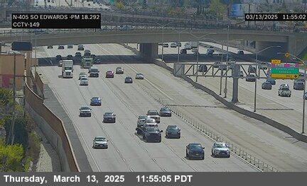
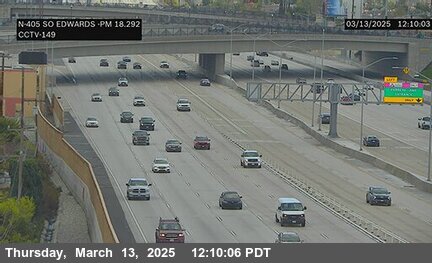


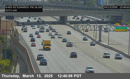

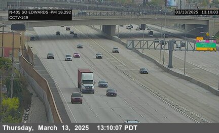
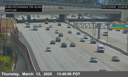

District: 12 Camera ID: 379
Location: I-405 : South of Edwards
View on Google Maps
Direction: North
Elevation: 49
Location: I-405 : South of Edwards
View on Google Maps
Direction: North
Elevation: 49
I-5 near Santa Ana in Orange County


District: 12 Camera ID: 16
Location: I-5 : Grand Avenue
View on Google Maps
Direction: South
Elevation: 154
Location: I-5 : Grand Avenue
View on Google Maps
Direction: South
Elevation: 154
SR-241 near Irvine in Orange County


District: 12 Camera ID: 294
Location: SR-241 : 600 Meters South of North Culver Drive
View on Google Maps
Direction: North
Elevation: 1030
Location: SR-241 : 600 Meters South of North Culver Drive
View on Google Maps
Direction: North
Elevation: 1030
SR-261 near Irvine in Orange County


District: 12 Camera ID: 316
Location: SR-261 : 1900 Meters North of Portola Parkway (West) Overcross
View on Google Maps
Direction: North
Elevation: 416
Location: SR-261 : 1900 Meters North of Portola Parkway (West) Overcross
View on Google Maps
Direction: North
Elevation: 416
I-405 near Westminster in Orange County
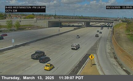
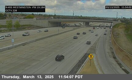
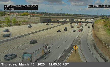
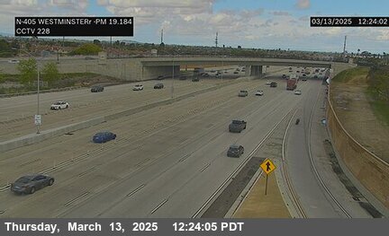
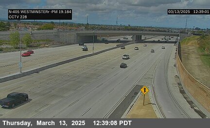
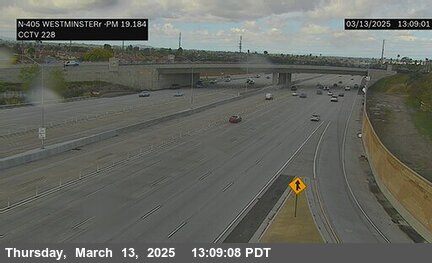

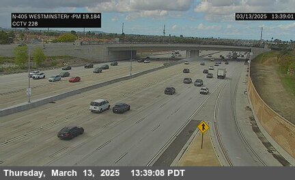
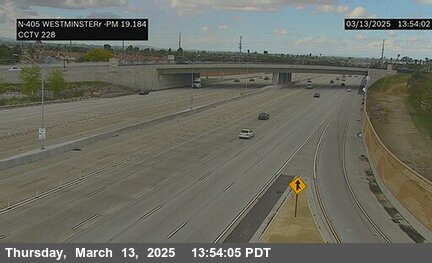
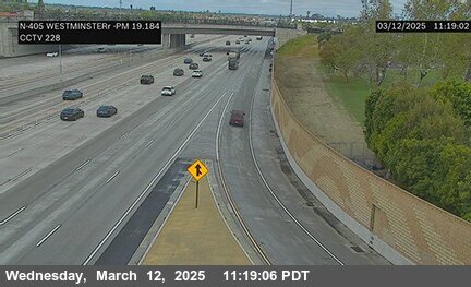
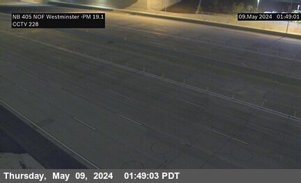
District: 12 Camera ID: 228
Location: I-405 : Westminster
View on Google Maps
Direction: North
Elevation: 49
Location: I-405 : Westminster
View on Google Maps
Direction: North
Elevation: 49
I-5 near Santa Ana in Orange County
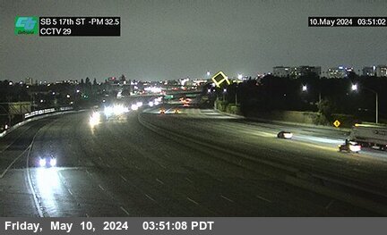


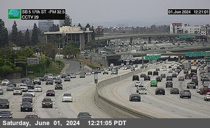
District: 12 Camera ID: 29
Location: I-5 : 17th Street (7th)
View on Google Maps
Direction: South
Elevation: 170
Location: I-5 : 17th Street (7th)
View on Google Maps
Direction: South
Elevation: 170
SR-55 near Tustin in Orange County
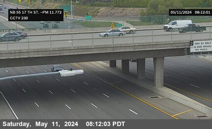


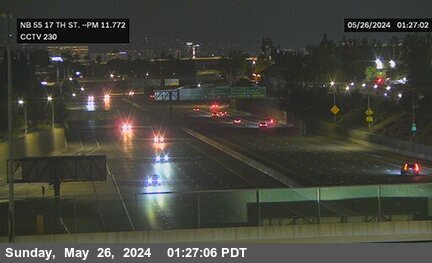
District: 12 Camera ID: 230
Location: SR-55 : 17th Street
View on Google Maps
Direction: North
Elevation: 177
Location: SR-55 : 17th Street
View on Google Maps
Direction: North
Elevation: 177
SR-261 near Irvine in Orange County
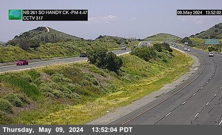


District: 12 Camera ID: 317
Location: SR-261 : 1500 Meters South of Handy Creek Road
View on Google Maps
Direction: North
Elevation: 501
Location: SR-261 : 1500 Meters South of Handy Creek Road
View on Google Maps
Direction: North
Elevation: 501
SR-241 near Irvine in Orange County
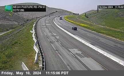


District: 12 Camera ID: 295
Location: SR-241 : Pasture Rd 430 Meters North of North Culver Drive
View on Google Maps
Direction: North
Elevation: 977
Location: SR-241 : Pasture Rd 430 Meters North of North Culver Drive
View on Google Maps
Direction: North
Elevation: 977
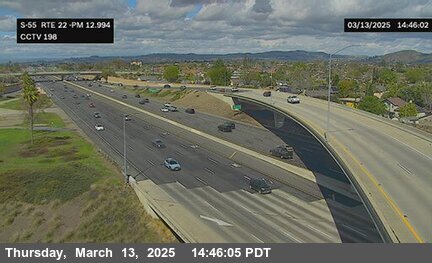
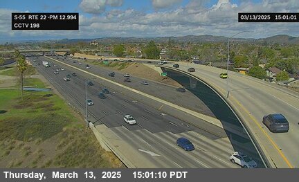
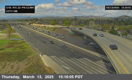
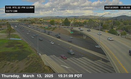
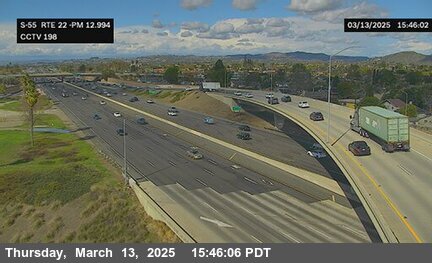
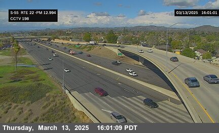
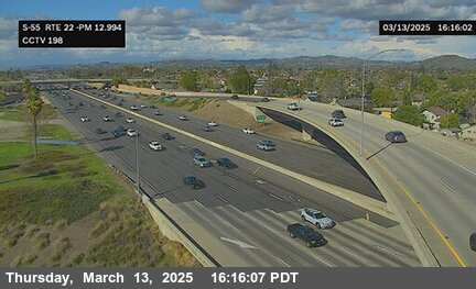
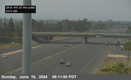
SR-22 near Garden Grove in Orange County
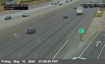


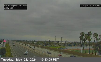
District: 12 Camera ID: 159
Location: SR-22 : East of Magnolia Street
View on Google Maps
Direction: West
Elevation: 85
Location: SR-22 : East of Magnolia Street
View on Google Maps
Direction: West
Elevation: 85
SR-22 near Garden Grove in Orange County
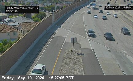


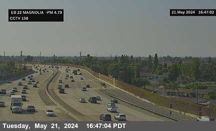
District: 12 Camera ID: 158
Location: SR-22 : West of Magnolia Street
View on Google Maps
Direction: East
Elevation: 75
Location: SR-22 : West of Magnolia Street
View on Google Maps
Direction: East
Elevation: 75
SR-22 near Garden Grove in Orange County
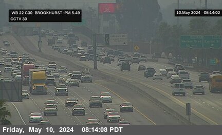


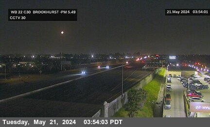
District: 12 Camera ID: 30
Location: SR-22 : Brookhurst Street
View on Google Maps
Direction: West
Elevation: 91
Location: SR-22 : Brookhurst Street
View on Google Maps
Direction: West
Elevation: 91
SR-22 near Garden Grove in Orange County
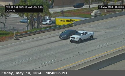


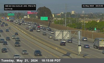
District: 12 Camera ID: 31
Location: SR-22 : Euclid Street
View on Google Maps
Direction: West
Elevation: 91
Location: SR-22 : Euclid Street
View on Google Maps
Direction: West
Elevation: 91
SR-22 near Garden Grove in Orange County
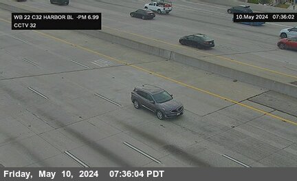


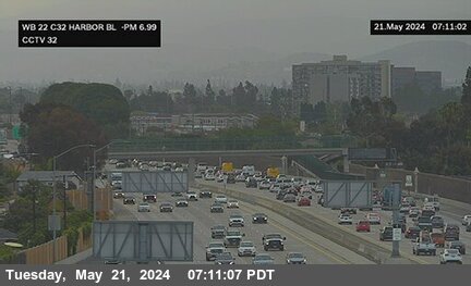
District: 12 Camera ID: 32
Location: SR-22 : Harbor Boulevard
View on Google Maps
Direction: West
Elevation: 101
Location: SR-22 : Harbor Boulevard
View on Google Maps
Direction: West
Elevation: 101
I-5 near Santa Ana in Orange County


I-405 near Westminster in Orange County


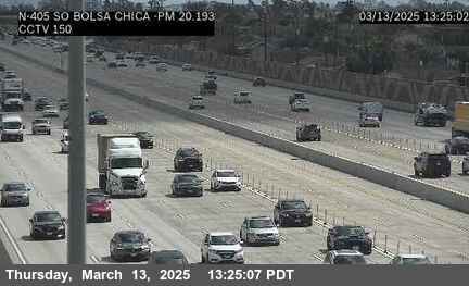
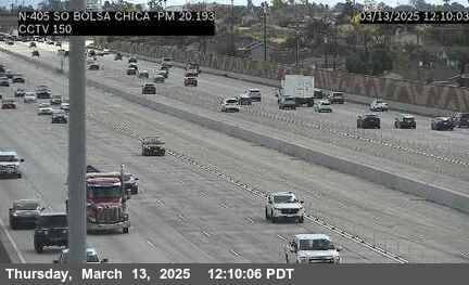
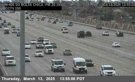
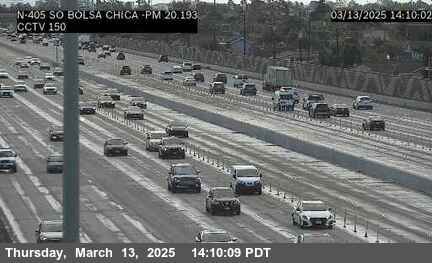
District: 12 Camera ID: 378
Location: I-405 : South of Bolsa Chica
View on Google Maps
Direction: North
Elevation: 39
Location: I-405 : South of Bolsa Chica
View on Google Maps
Direction: North
Elevation: 39
SR-22 near Garden Grove in Orange County
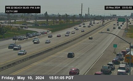


District: 12 Camera ID: 160
Location: SR-22 : Beach Boulevard
View on Google Maps
Direction: West
Elevation: 72
Location: SR-22 : Beach Boulevard
View on Google Maps
Direction: West
Elevation: 72
SR-241 near Irvine in Orange County
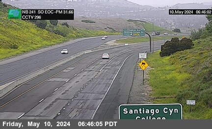


District: 12 Camera ID: 296
Location: SR-241 : SO EOC 1400 Meters North of North Culver Drive
View on Google Maps
Direction: North
Elevation: 948
Location: SR-241 : SO EOC 1400 Meters North of North Culver Drive
View on Google Maps
Direction: North
Elevation: 948
SR-22 near Westminster in Orange County


District: 12 Camera ID: 161
Location: SR-22 : Eastbound Knott Avenue
View on Google Maps
Direction: East
Elevation: 72
Location: SR-22 : Eastbound Knott Avenue
View on Google Maps
Direction: East
Elevation: 72
SR-22 near Garden Grove in Orange County


I-405 near Westminster in Orange County
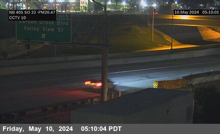

District: 12 Camera ID: 10
Location: I-405 : South of SR-22
View on Google Maps
Direction: North
Elevation: 32
Location: I-405 : South of SR-22
View on Google Maps
Direction: North
Elevation: 32
SR-22 near Westminster in Orange County


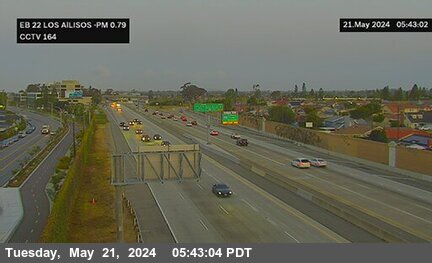
District: 12 Camera ID: 164
Location: SR-22 : Los Alisos Street
View on Google Maps
Direction: East
Elevation: 42
Location: SR-22 : Los Alisos Street
View on Google Maps
Direction: East
Elevation: 42
SR-22 near Westminster in Orange County
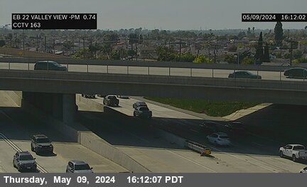


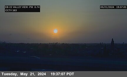
District: 12 Camera ID: 163
Location: SR-22 : Valley View Avenue
View on Google Maps
Direction: East
Elevation: 36
Location: SR-22 : Valley View Avenue
View on Google Maps
Direction: East
Elevation: 36
I-405 near Seal Beach in Orange County
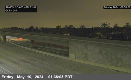

District: 12 Camera ID: 145
Location: I_405 : SO I-605
View on Google Maps
Direction: South
Elevation: 26
Location: I_405 : SO I-605
View on Google Maps
Direction: South
Elevation: 26
SR-22 near Seal Beach in Orange County


District: 12 Camera ID: 375
Location: SR-22 : South of 405
View on Google Maps
Direction: East
Elevation: 26
Location: SR-22 : South of 405
View on Google Maps
Direction: East
Elevation: 26
I-405 near Seal Beach in Orange County
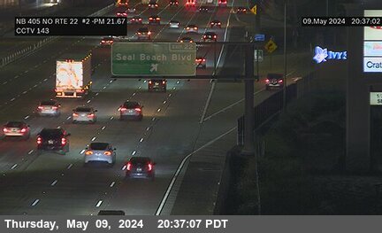
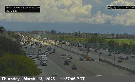
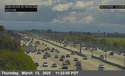
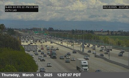


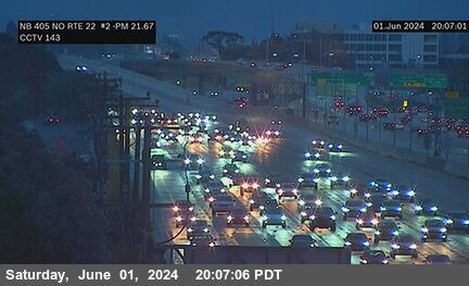
District: 12 Camera ID: 143
Location: I-405 : North of SR-22 B
View on Google Maps
Direction: North
Elevation: 26
Location: I-405 : North of SR-22 B
View on Google Maps
Direction: North
Elevation: 26
I-405 near Seal Beach in Orange County
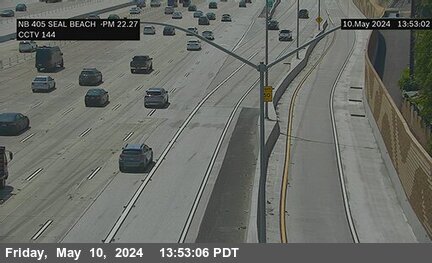
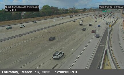
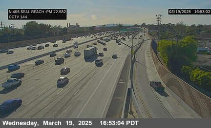
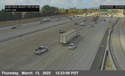
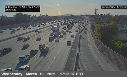
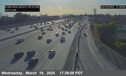
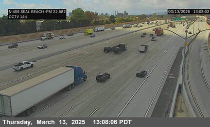
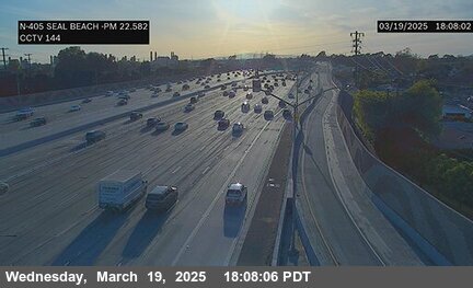
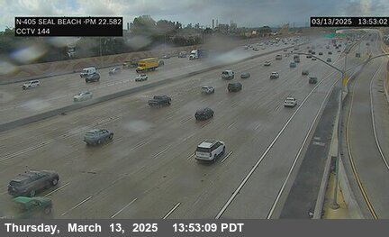

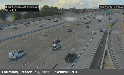
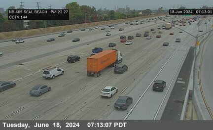
District: 12 Camera ID: 144
Location: I-405 : Seal Beach Boulevard
View on Google Maps
Direction: North
Elevation: 36
Location: I-405 : Seal Beach Boulevard
View on Google Maps
Direction: North
Elevation: 36
SR-22 near Garden Grove in Orange County


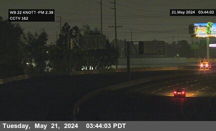
District: 12 Camera ID: 162
Location: SR-22 : Westbound Knott Avenue
View on Google Maps
Direction: West
Elevation: 59
Location: SR-22 : Westbound Knott Avenue
View on Google Maps
Direction: West
Elevation: 59
SR-22 near Santa Ana in Orange County
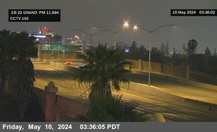


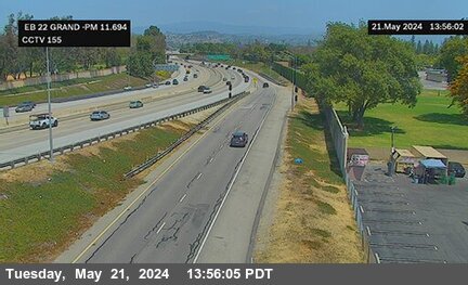
District: 12 Camera ID: 155
Location: SR-22 : Grand Street
View on Google Maps
Direction: East
Elevation: 196
Location: SR-22 : Grand Street
View on Google Maps
Direction: East
Elevation: 196
I-405 near Seal Beach in Orange County
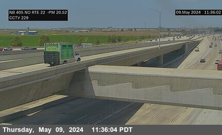

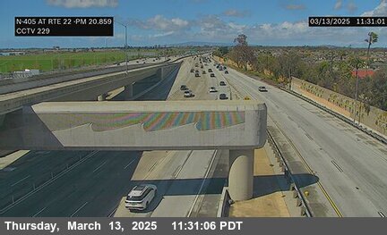
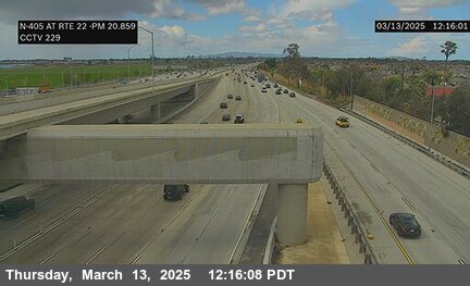
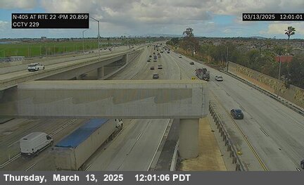
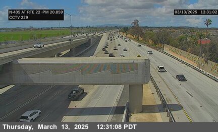
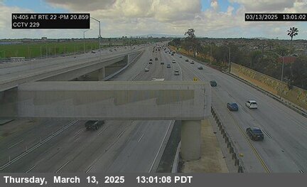

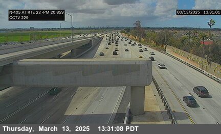
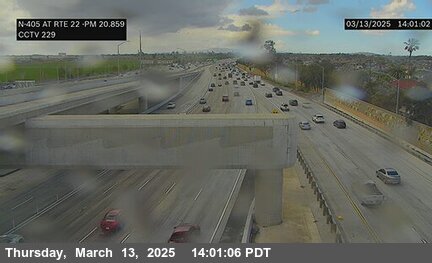
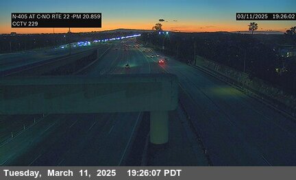
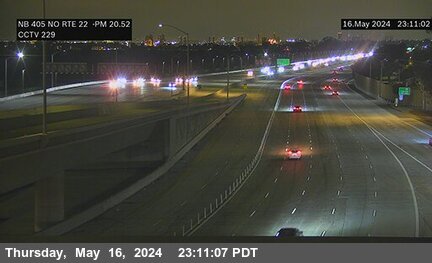
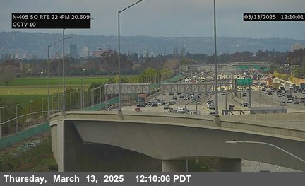
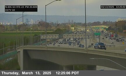
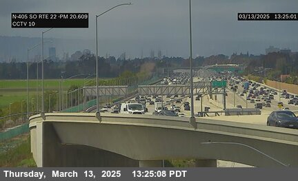
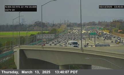
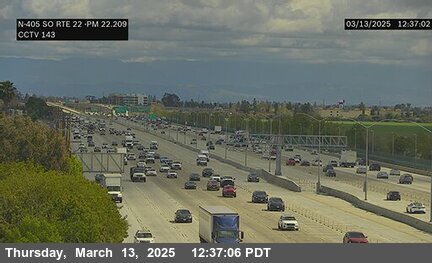
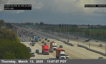
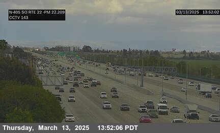
District: 12 Camera ID: 229
Location: I-405 : North of RTE 22
View on Google Maps
Direction: South
Elevation: 42
Location: I-405 : North of RTE 22
View on Google Maps
Direction: South
Elevation: 42
SR-261 near Irvine in Orange County


District: 12 Camera ID: 318
Location: SR-261 : South of Handy Creek
View on Google Maps
Direction: South
Elevation: 662
Location: SR-261 : South of Handy Creek
View on Google Maps
Direction: South
Elevation: 662
SR-22 near Orange in Orange County
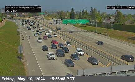


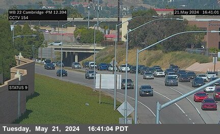
District: 12 Camera ID: 154
Location: SR-22 : Cambridge Street
View on Google Maps
Direction: West
Elevation: 206
Location: SR-22 : Cambridge Street
View on Google Maps
Direction: West
Elevation: 206
SR-55 near Orange in Orange County
SR-241 near Irvine in Orange County


District: 12 Camera ID: 297
Location: SR-241 : 230 Meters South of Santiago Canyon Road Overcross
View on Google Maps
Direction: North
Elevation: 790
Location: SR-241 : 230 Meters South of Santiago Canyon Road Overcross
View on Google Maps
Direction: North
Elevation: 790
I-5 near Santa Ana in Orange County


SR-22 near Orange in Orange County
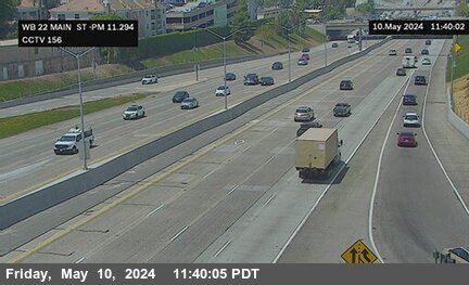


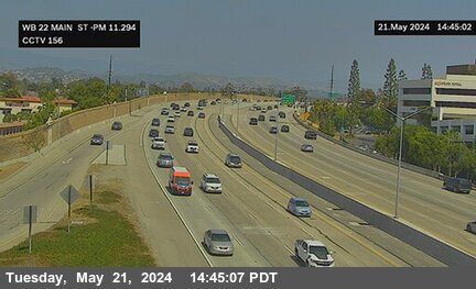
District: 12 Camera ID: 156
Location: SR-22 : Main Street
View on Google Maps
Direction: West
Elevation: 177
Location: SR-22 : Main Street
View on Google Maps
Direction: West
Elevation: 177
SR-22 near Orange in Orange County
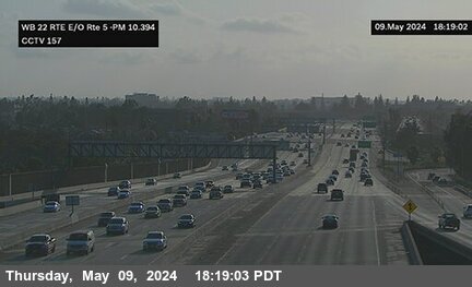


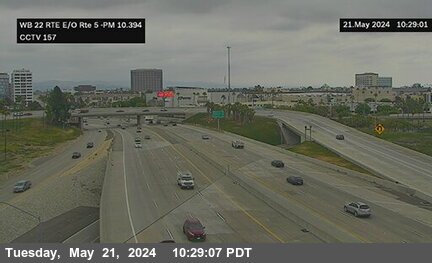
District: 12 Camera ID: 157
Location: SR-22 : East of I-5
View on Google Maps
Direction: West
Elevation: 147
Location: SR-22 : East of I-5
View on Google Maps
Direction: West
Elevation: 147
SR-22 near Orange in Orange County
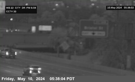


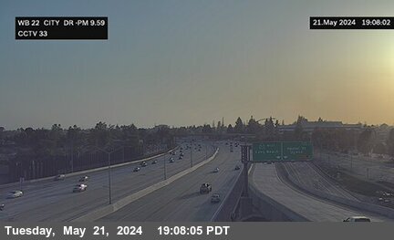
District: 12 Camera ID: 33
Location: SR-22 : City Drive
View on Google Maps
Direction: West
Elevation: 134
Location: SR-22 : City Drive
View on Google Maps
Direction: West
Elevation: 134
SR-261 near Irvine in Orange County
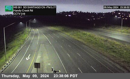


District: 12 Camera ID: 319
Location: SR-261 : SO Santiago Cyn Rd
View on Google Maps
Direction: North
Elevation: 662
Location: SR-261 : SO Santiago Cyn Rd
View on Google Maps
Direction: North
Elevation: 662
I-5 near Santa Ana in Orange County


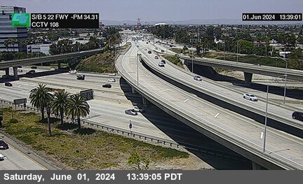
I-405 near Los Alamitos in Orange County


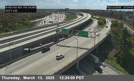
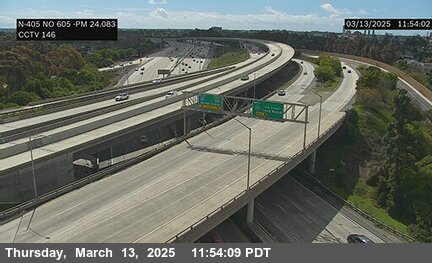
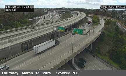
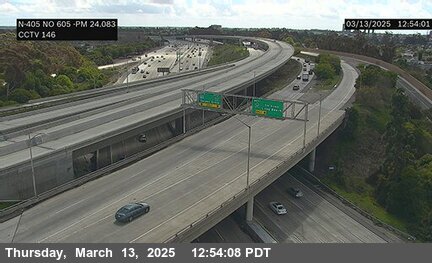

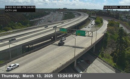

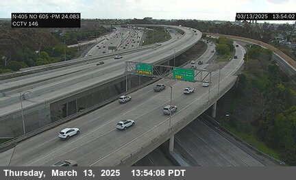
District: 12 Camera ID: 146
Location: I-405 : North of I-605
View on Google Maps
Direction: North
Elevation: 42
Location: I-405 : North of I-605
View on Google Maps
Direction: North
Elevation: 42
SR-241 near Silverado in Orange County


District: 12 Camera ID: 298
Location: SR-241 : 900 Meters North of Santiago 1 Canyon Road Overcross
View on Google Maps
Direction: North
Elevation: 764
Location: SR-241 : 900 Meters North of Santiago 1 Canyon Road Overcross
View on Google Maps
Direction: North
Elevation: 764
SR-55 near Orange in Orange County


District: 12 Camera ID: 199
Location: SR-55 : Chapman Avenue
View on Google Maps
Direction: North
Elevation: 262
Location: SR-55 : Chapman Avenue
View on Google Maps
Direction: North
Elevation: 262
SR-57 near Orange in Orange County
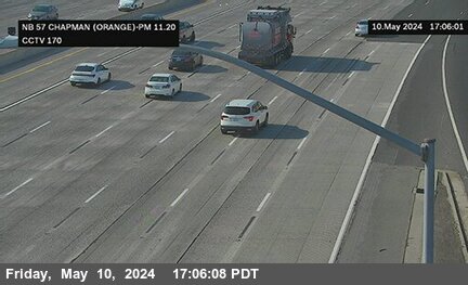


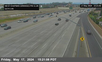
District: 12 Camera ID: 170
Location: SR-57 : Chapman Avenue (Orange)
View on Google Maps
Direction: North
Elevation: 154
Location: SR-57 : Chapman Avenue (Orange)
View on Google Maps
Direction: North
Elevation: 154
SR-241 near Silverado in Orange County


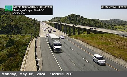
District: 12 Camera ID: 300
Location: SR-241 : 2600 Meters North of Santiago Canyon Road Overcross
View on Google Maps
Direction: North
Elevation: 793
Location: SR-241 : 2600 Meters North of Santiago Canyon Road Overcross
View on Google Maps
Direction: North
Elevation: 793
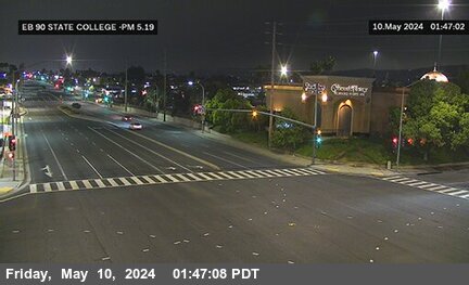
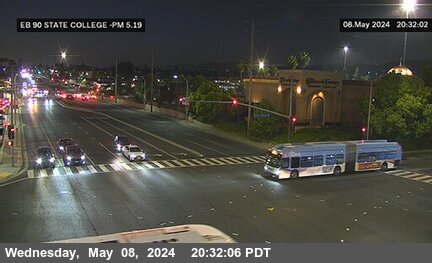
I-5 near Orange in Orange County
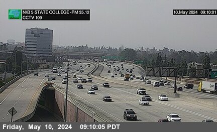


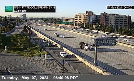
District: 12 Camera ID: 109
Location: I-5 : State College Boulevard
View on Google Maps
Direction: North
Elevation: 150
Location: I-5 : State College Boulevard
View on Google Maps
Direction: North
Elevation: 150
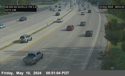
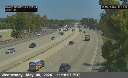
I-605 near Los Alamitos in Orange County


District: 12 Camera ID: 147
Location: I-605 : South of Katella Avenue
View on Google Maps
Direction: North
Elevation: 16
Location: I-605 : South of Katella Avenue
View on Google Maps
Direction: North
Elevation: 16
SR-57 near Orange in Orange County
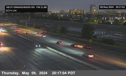


District: 12 Camera ID: 174
Location: SR-57 : Orangewood Avenue Onramp
View on Google Maps
Direction: North
Elevation: 167
Location: SR-57 : Orangewood Avenue Onramp
View on Google Maps
Direction: North
Elevation: 167
SR-55 near Orange in Orange County
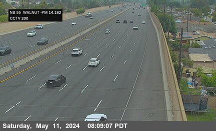


District: 12 Camera ID: 200
Location: SR-55 : Walnut Street
View on Google Maps
Direction: North
Elevation: 259
Location: SR-55 : Walnut Street
View on Google Maps
Direction: North
Elevation: 259
I-5 near Orange in Orange County
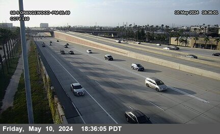


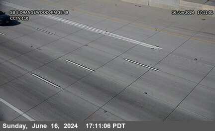
District: 12 Camera ID: 110
Location: I-5 : Orangewood Avenue
View on Google Maps
Direction: South
Elevation: 147
Location: I-5 : Orangewood Avenue
View on Google Maps
Direction: South
Elevation: 147
SR-241 near Silverado in Orange County
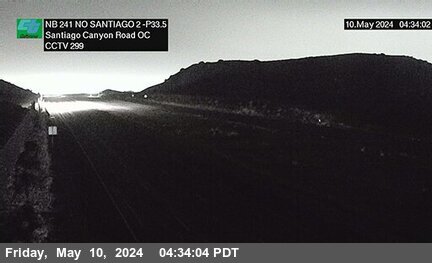


District: 12 Camera ID: 299
Location: SR-241 : 1700 Meters North of Santiago 2 Canyon Road Overcross
View on Google Maps
Direction: North
Elevation: 721
Location: SR-241 : 1700 Meters North of Santiago 2 Canyon Road Overcross
View on Google Maps
Direction: North
Elevation: 721
SR-55 near Orange in Orange County
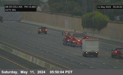


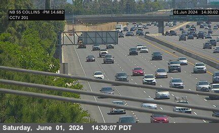
District: 12 Camera ID: 201
Location: SR-55 : Collins Avenue
View on Google Maps
Direction: North
Elevation: 275
Location: SR-55 : Collins Avenue
View on Google Maps
Direction: North
Elevation: 275
I-5 near Anaheim in Orange County
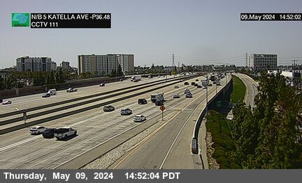


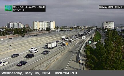
District: 12 Camera ID: 111
Location: I-5 : Katella Avenue
View on Google Maps
Direction: North
Elevation: 150
Location: I-5 : Katella Avenue
View on Google Maps
Direction: North
Elevation: 150
I-605 near Los Alamitos in Orange County


District: 12 Camera ID: 148
Location: I-605 : Katella
View on Google Maps
Direction: North
Elevation: 52
Location: I-605 : Katella
View on Google Maps
Direction: North
Elevation: 52
SR-57 near Anaheim in Orange County
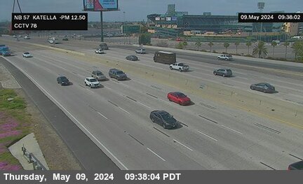


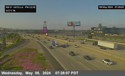
District: 12 Camera ID: 78
Location: SR-57 : Katella Avenue
View on Google Maps
Direction: North
Elevation: 170
Location: SR-57 : Katella Avenue
View on Google Maps
Direction: North
Elevation: 170
SR-241 near Silverado in Orange County
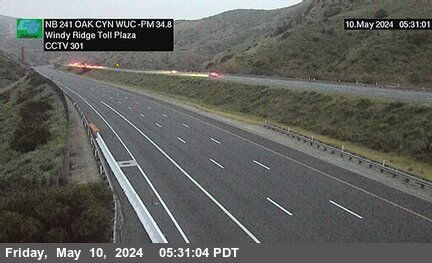


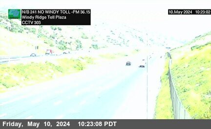
District: 12 Camera ID: 301
Location: SR-241 : Oak 2000 Meters South of Windy Ridge Toll Plaza
View on Google Maps
Direction: North
Elevation: 882
Location: SR-241 : Oak 2000 Meters South of Windy Ridge Toll Plaza
View on Google Maps
Direction: North
Elevation: 882
I-5 near Anaheim in Orange County


District: 12 Camera ID: 175
Location: I-5 : Anaheim Boulevard
View on Google Maps
Direction: North
Elevation: 150
Location: I-5 : Anaheim Boulevard
View on Google Maps
Direction: North
Elevation: 150
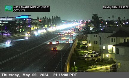
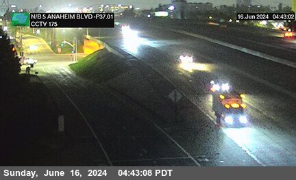
SR-55 near Orange in Orange County
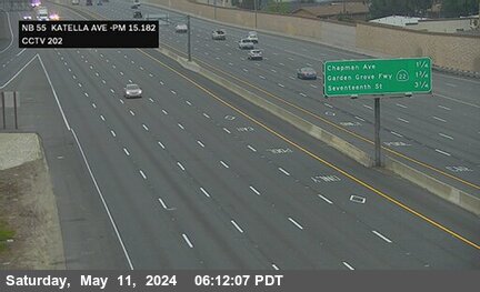


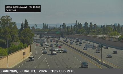
District: 12 Camera ID: 202
Location: SR-55 : Katella Avenue
View on Google Maps
Direction: North
Elevation: 265
Location: SR-55 : Katella Avenue
View on Google Maps
Direction: North
Elevation: 265
I-5 near Anaheim in Orange County
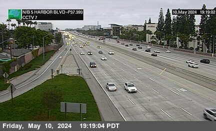


District: 12 Camera ID: 7
Location: I-5 : Harbor Boulevard
View on Google Maps
Direction: North
Elevation: 144
Location: I-5 : Harbor Boulevard
View on Google Maps
Direction: North
Elevation: 144
SR-241 near Orange in Orange County


District: 12 Camera ID: 302
Location: SR-241 : 920 Meters South of Windy Toll Plaza
View on Google Maps
Direction: North
Elevation: 1128
Location: SR-241 : 920 Meters South of Windy Toll Plaza
View on Google Maps
Direction: North
Elevation: 1128
SR-57 near Anaheim in Orange County
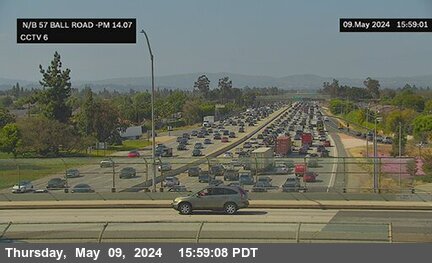


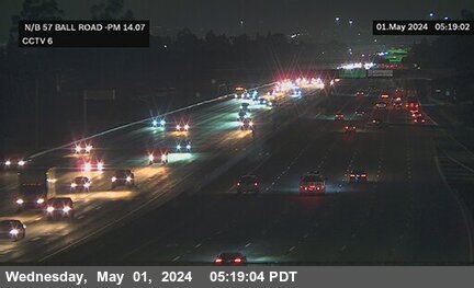
District: 12 Camera ID: 6
Location: SR-57 : Ball Road
View on Google Maps
Direction: North
Elevation: 196
Location: SR-57 : Ball Road
View on Google Maps
Direction: North
Elevation: 196
SR-55 near Orange in Orange County
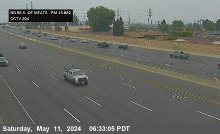


District: 12 Camera ID: 204
Location: SR-55 : South of Meats Avenue
View on Google Maps
Direction: North
Elevation: 269
Location: SR-55 : South of Meats Avenue
View on Google Maps
Direction: North
Elevation: 269
I-5 near Anaheim in Orange County
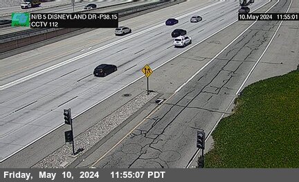


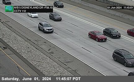
District: 12 Camera ID: 112
Location: I-5 : Disneyland Dr.
View on Google Maps
Direction: North
Elevation: 137
Location: I-5 : Disneyland Dr.
View on Google Maps
Direction: North
Elevation: 137
SR-57 near Anaheim in Orange County


District: 12 Camera ID: 176
Location: SR-57 : North of Wagner Avenue
View on Google Maps
Direction: North
Elevation: 196
Location: SR-57 : North of Wagner Avenue
View on Google Maps
Direction: North
Elevation: 196
SR-241 near Orange in Orange County


District: 12 Camera ID: 303
Location: SR-241 : 600 Meters North of Windy Toll Plaza
View on Google Maps
Direction: North
Elevation: 1256
Location: SR-241 : 600 Meters North of Windy Toll Plaza
View on Google Maps
Direction: North
Elevation: 1256
SR-55 near Orange in Orange County
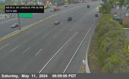


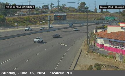
District: 12 Camera ID: 205
Location: SR-55 : South of Lincoln
View on Google Maps
Direction: North
Elevation: 295
Location: SR-55 : South of Lincoln
View on Google Maps
Direction: North
Elevation: 295
I-5 near Anaheim in Orange County
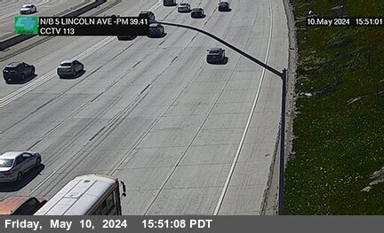


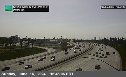
District: 12 Camera ID: 113
Location: I-5 : Lincoln Avenue
View on Google Maps
Direction: North
Elevation: 131
Location: I-5 : Lincoln Avenue
View on Google Maps
Direction: North
Elevation: 131
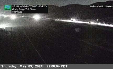
SR-241 near Anaheim in Orange County


District: 12 Camera ID: 304
Location: SR-241 : 1200 Meters North of Windy Ridge Wu Toll Plaza
View on Google Maps
Direction: North
Elevation: 1118
Location: SR-241 : 1200 Meters North of Windy Ridge Wu Toll Plaza
View on Google Maps
Direction: North
Elevation: 1118
SR-55 near Orange in Orange County


District: 12 Camera ID: 51
Location: SR-55 : Lincoln Park and Ride 2
View on Google Maps
Direction: North
Elevation: 318
Location: SR-55 : Lincoln Park and Ride 2
View on Google Maps
Direction: North
Elevation: 318
I-5 near Anaheim in Orange County


District: 12 Camera ID: 114
Location: I-5 : Euclid Avenue
View on Google Maps
Direction: North
Elevation: 141
Location: I-5 : Euclid Avenue
View on Google Maps
Direction: North
Elevation: 141
SR-55 near Orange in Orange County


District: 12 Camera ID: 50
Location: SR-55 : Lincoln Park and Ride 1
View on Google Maps
Direction: North
Elevation: 331
Location: SR-55 : Lincoln Park and Ride 1
View on Google Maps
Direction: North
Elevation: 331
SR-57 near Anaheim in Orange County


District: 12 Camera ID: 79
Location: SR-57 : Lincoln Avenue
View on Google Maps
Direction: North
Elevation: 190
Location: SR-57 : Lincoln Avenue
View on Google Maps
Direction: North
Elevation: 190
I-5 near Anaheim in Orange County
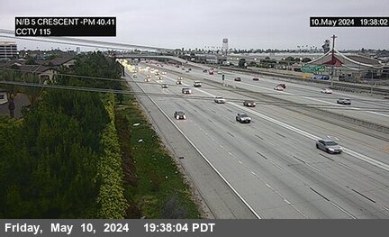


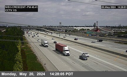
District: 12 Camera ID: 115
Location: I-5 : Crescent
View on Google Maps
Direction: North
Elevation: 131
Location: I-5 : Crescent
View on Google Maps
Direction: North
Elevation: 131
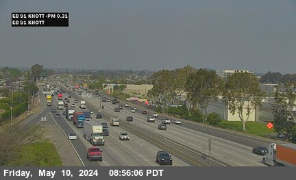
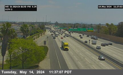
SR-91 near Anaheim in Orange County


SR-241 near Anaheim in Orange County


District: 12 Camera ID: 305
Location: SR-241 : 2300 Meters North of Windy WUC Ridge Toll Plaza
View on Google Maps
Direction: North
Elevation: 898
Location: SR-241 : 2300 Meters North of Windy WUC Ridge Toll Plaza
View on Google Maps
Direction: North
Elevation: 898
I-5 near Anaheim in Orange County


District: 12 Camera ID: 116
Location: I-5 : Brookhurst Street
View on Google Maps
Direction: North
Elevation: 124
Location: I-5 : Brookhurst Street
View on Google Maps
Direction: North
Elevation: 124
SR-91 near Anaheim in Orange County


District: 12 Camera ID: 138
Location: SR-91 : La Palma
View on Google Maps
Direction: South
Elevation: 223
Location: SR-91 : La Palma
View on Google Maps
Direction: South
Elevation: 223
SR-91 near Anaheim in Orange County


District: 12 Camera ID: 139
Location: SR-91 : Kraemer Boulevard
View on Google Maps
Direction: South
Elevation: 216
Location: SR-91 : Kraemer Boulevard
View on Google Maps
Direction: South
Elevation: 216
SR-57 near Anaheim in Orange County


SR-91 near Anaheim in Orange County


District: 12 Camera ID: 140
Location: SR-91 : East of Glassell Street
View on Google Maps
Direction: North
Elevation: 229
Location: SR-91 : East of Glassell Street
View on Google Maps
Direction: North
Elevation: 229
I-5 near Anaheim in Orange County


District: 12 Camera ID: 117
Location: I-5 : Gilbert Street
View on Google Maps
Direction: North
Elevation: 111
Location: I-5 : Gilbert Street
View on Google Maps
Direction: North
Elevation: 111
SR-91 near Anaheim in Orange County


District: 12 Camera ID: 133
Location: SR-91 : West of SR-57
View on Google Maps
Direction: South
Elevation: 213
Location: SR-91 : West of SR-57
View on Google Maps
Direction: South
Elevation: 213
SR-57 near Anaheim in Orange County


District: 12 Camera ID: 177
Location: SR-57 : South of Miraloma Overcross
View on Google Maps
Direction: North
Elevation: 203
Location: SR-57 : South of Miraloma Overcross
View on Google Maps
Direction: North
Elevation: 203
I-5 near Anaheim in Orange County


District: 12 Camera ID: 118
Location: I-5 : Magnolia Avenue
View on Google Maps
Direction: North
Elevation: 101
Location: I-5 : Magnolia Avenue
View on Google Maps
Direction: North
Elevation: 101
SR-91 near Anaheim in Orange County


District: 12 Camera ID: 132
Location: SR-91 : Harbor Boulevard
View on Google Maps
Direction: East
Elevation: 150
Location: SR-91 : Harbor Boulevard
View on Google Maps
Direction: East
Elevation: 150
SR-91 near Anaheim in Orange County


District: 12 Camera ID: 169
Location: SR-91 : Lemon Street
View on Google Maps
Direction: East
Elevation: 170
Location: SR-91 : Lemon Street
View on Google Maps
Direction: East
Elevation: 170
SR-91 near Anaheim in Orange County


District: 12 Camera ID: 134
Location: SR-91 : East Street
View on Google Maps
Direction: East
Elevation: 190
Location: SR-91 : East Street
View on Google Maps
Direction: East
Elevation: 190
SR-91 near Anaheim in Orange County


District: 12 Camera ID: 40
Location: SR-91 : Brookhurst Street
View on Google Maps
Direction: East
Elevation: 118
Location: SR-91 : Brookhurst Street
View on Google Maps
Direction: East
Elevation: 118
SR-91 near Anaheim in Orange County


District: 12 Camera ID: 168
Location: SR-91 : Euclid Avenue
View on Google Maps
Direction: East
Elevation: 144
Location: SR-91 : Euclid Avenue
View on Google Maps
Direction: East
Elevation: 144
SR-91 near Anaheim in Orange County


District: 12 Camera ID: 136
Location: SR-91 : State College Boulevard
View on Google Maps
Direction: West
Elevation: 206
Location: SR-91 : State College Boulevard
View on Google Maps
Direction: West
Elevation: 206
SR-91 near Fullerton in Orange County


District: 12 Camera ID: 189
Location: SR-91 : Gilbert Street
View on Google Maps
Direction: West
Elevation: 121
Location: SR-91 : Gilbert Street
View on Google Maps
Direction: West
Elevation: 121
SR-241 near Anaheim in Orange County


District: 12 Camera ID: 306
Location: SR-241 : 1100 Meters South of SR-91
View on Google Maps
Direction: North
Elevation: 679
Location: SR-241 : 1100 Meters South of SR-91
View on Google Maps
Direction: North
Elevation: 679
SR-91 near Buena Park in Orange County


I-5 near Anaheim in Orange County


District: 12 Camera ID: 1
Location: I-5 : North of Magnolia Avenue (South Of SR-91)
View on Google Maps
Direction: South
Elevation: 108
Location: I-5 : North of Magnolia Avenue (South Of SR-91)
View on Google Maps
Direction: South
Elevation: 108
SR-91 near Buena Park in Orange County


District: 12 Camera ID: 2
Location: SR-91 : Beach Boulevard
View on Google Maps
Direction: South
Elevation: 85
Location: SR-91 : Beach Boulevard
View on Google Maps
Direction: South
Elevation: 85
SR-91 near Buena Park in Orange County


District: 12 Camera ID: 43
Location: SR-91 : Valley View
View on Google Maps
Direction: East
Elevation: 62
Location: SR-91 : Valley View
View on Google Maps
Direction: East
Elevation: 62
SR-91 near Buena Park in Orange County


District: 12 Camera ID: 187
Location: SR-91 : Stanton Avenue
View on Google Maps
Direction: South
Elevation: 91
Location: SR-91 : Stanton Avenue
View on Google Maps
Direction: South
Elevation: 91
SR-91 near Fullerton in Orange County


District: 12 Camera ID: 186
Location: SR-91 : Magnolia Street
View on Google Maps
Direction: South
Elevation: 104
Location: SR-91 : Magnolia Street
View on Google Maps
Direction: South
Elevation: 104
I-5 near Buena Park in Orange County
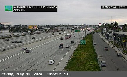


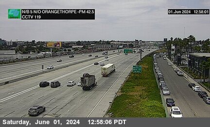
District: 12 Camera ID: 119
Location: I-5 : North of Orangethorpe Boulevard
View on Google Maps
Direction: North
Elevation: 91
Location: I-5 : North of Orangethorpe Boulevard
View on Google Maps
Direction: North
Elevation: 91
SR-57 near Placentia in Orange County


District: 12 Camera ID: 80
Location: SR-57 : Orangethorpe Avenue
View on Google Maps
Direction: North
Elevation: 206
Location: SR-57 : Orangethorpe Avenue
View on Google Maps
Direction: North
Elevation: 206
SR-241 near Yorba Linda in Orange County
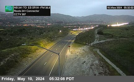


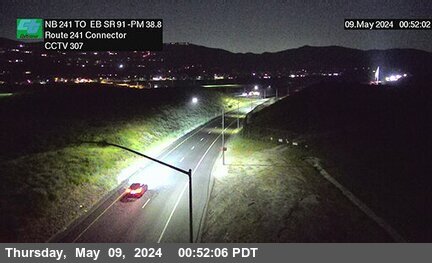
District: 12 Camera ID: 307
Location: SR-241 NB : EB SR-91 -241Connector
View on Google Maps
Direction: North
Elevation: 538
Location: SR-241 NB : EB SR-91 -241Connector
View on Google Maps
Direction: North
Elevation: 538
I-5 near Buena Park in Orange County


District: 12 Camera ID: 188
Location: I-5 : Manchester Avenue (South of Stanton)
View on Google Maps
Direction: North
Elevation: 88
Location: I-5 : Manchester Avenue (South of Stanton)
View on Google Maps
Direction: North
Elevation: 88
SR-241 near Anaheim in Orange County
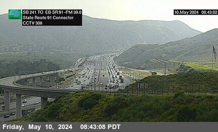


District: 12 Camera ID: 308
Location: SR-241 SB : SR-91 EB
View on Google Maps
Direction: North
Elevation: 485
Location: SR-241 SB : SR-91 EB
View on Google Maps
Direction: North
Elevation: 485
I-5 near Buena Park in Orange County


District: 12 Camera ID: 190
Location: I-5 : North of Beach Boulevard
View on Google Maps
Direction: North
Elevation: 75
Location: I-5 : North of Beach Boulevard
View on Google Maps
Direction: North
Elevation: 75
SR-91 near Anaheim in Orange County


District: 12 Camera ID: 4
Location: SR-91 : Scale House
View on Google Maps
Direction: North
Elevation: 367
Location: SR-91 : Scale House
View on Google Maps
Direction: North
Elevation: 367
I-5 near Buena Park in Orange County
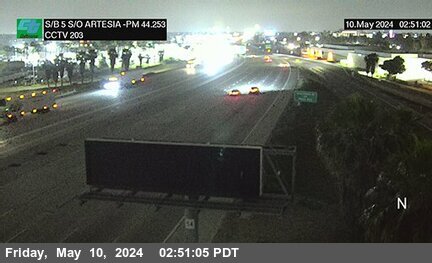


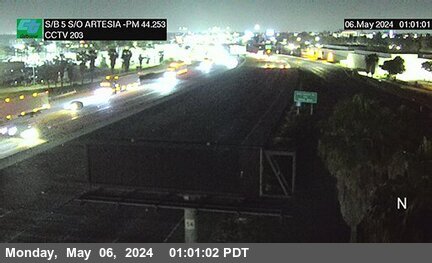
District: 12 Camera ID: 203
Location: I-5 : South of Artesia Boulevard
View on Google Maps
Direction: South
Elevation: 88
Location: I-5 : South of Artesia Boulevard
View on Google Maps
Direction: South
Elevation: 88
SR-57 near Fullerton in Orange County


District: 12 Camera ID: 178
Location: SR-57 : Chapman (Fullerton)
View on Google Maps
Direction: South
Elevation: 239
Location: SR-57 : Chapman (Fullerton)
View on Google Maps
Direction: South
Elevation: 239
SR-57 near Fullerton in Orange County


District: 12 Camera ID: 179
Location: SR-57 : Nutwood Street
View on Google Maps
Direction: North
Elevation: 255
Location: SR-57 : Nutwood Street
View on Google Maps
Direction: North
Elevation: 255
SR-57 near Fullerton in Orange County


District: 12 Camera ID: 180
Location: SR-57 : Yorba Linda Boulevard
View on Google Maps
Direction: North
Elevation: 272
Location: SR-57 : Yorba Linda Boulevard
View on Google Maps
Direction: North
Elevation: 272
SR-57 near Fullerton in Orange County


District: 12 Camera ID: 181
Location: SR-57 : Bastanchury Road Undercross
View on Google Maps
Direction: North
Elevation: 301
Location: SR-57 : Bastanchury Road Undercross
View on Google Maps
Direction: North
Elevation: 301
SR-57 near Fullerton in Orange County


District: 12 Camera ID: 182
Location: SR-57 : Rolling Hills Road Undercross
View on Google Maps
Direction: North
Elevation: 354
Location: SR-57 : Rolling Hills Road Undercross
View on Google Maps
Direction: North
Elevation: 354
SR-90 near Yorba Linda in Orange County
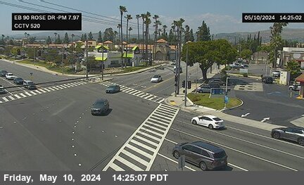


District: 12 Camera ID: 369
Location: SR-90 : Rose Dr SE Corner
View on Google Maps
Direction: East
Elevation: 400
Location: SR-90 : Rose Dr SE Corner
View on Google Maps
Direction: East
Elevation: 400
SR-57 near Fullerton in Orange County


SR-90 near Brea in Orange County
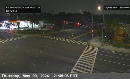


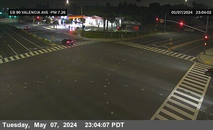
District: 12 Camera ID: 370
Location: SR-90 : Valencia Ave NW Corner
View on Google Maps
Direction: West
Elevation: 396
Location: SR-90 : Valencia Ave NW Corner
View on Google Maps
Direction: West
Elevation: 396
SR-90 near Fullerton in Orange County


District: 12 Camera ID: 366
Location: SR-90 : SR-57 NB OR SE Corner
View on Google Maps
Direction: East
Elevation: 331
Location: SR-90 : SR-57 NB OR SE Corner
View on Google Maps
Direction: East
Elevation: 331
SR-90 near Brea in Orange County


District: 12 Camera ID: 368
Location: SR-90 : Placentia Ave SE Corner
View on Google Maps
Direction: East
Elevation: 374
Location: SR-90 : Placentia Ave SE Corner
View on Google Maps
Direction: East
Elevation: 374
SR-90 near Brea in Orange County


District: 12 Camera ID: 372
Location: SR-90 : Shopping Ctr SE Corner
View on Google Maps
Direction: East
Elevation: 354
Location: SR-90 : Shopping Ctr SE Corner
View on Google Maps
Direction: East
Elevation: 354
SR-90 near Fullerton in Orange County


District: 12 Camera ID: 365
Location: SR-90 : SR-57 SB OR SE Corner
View on Google Maps
Direction: East
Elevation: 334
Location: SR-90 : SR-57 SB OR SE Corner
View on Google Maps
Direction: East
Elevation: 334
SR-90 near Brea in Orange County


District: 12 Camera ID: 371
Location: SR-90 : Kraemer Blvd SE Corner
View on Google Maps
Direction: East
Elevation: 377
Location: SR-90 : Kraemer Blvd SE Corner
View on Google Maps
Direction: East
Elevation: 377
SR-90 near Brea in Orange County


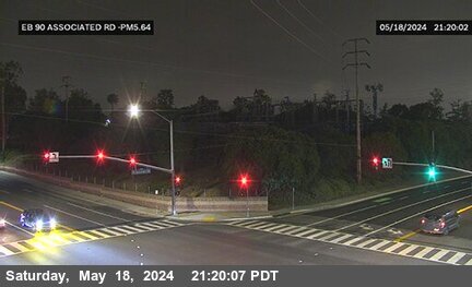
District: 12 Camera ID: 367
Location: SR-90 : Associated Rd NW Corner
View on Google Maps
Direction: West
Elevation: 331
Location: SR-90 : Associated Rd NW Corner
View on Google Maps
Direction: West
Elevation: 331
SR-90 near Fullerton in Orange County


District: 12 Camera ID: 364
Location: SR-90 : State College SE Corner
View on Google Maps
Direction: East
Elevation: 334
Location: SR-90 : State College SE Corner
View on Google Maps
Direction: East
Elevation: 334
SR-90 near Brea in Orange County
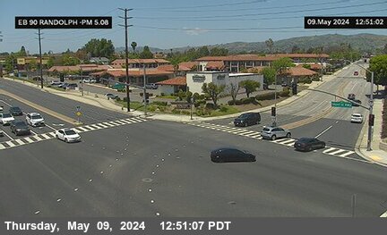


District: 12 Camera ID: 363
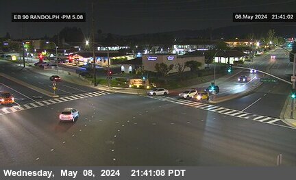
Location: SR-90 : Randolph Ave SE Corner
View on Google Maps
Direction: East
Elevation: 337
Location: SR-90 : Randolph Ave SE Corner
View on Google Maps
Direction: East
Elevation: 337
SR-90 near Brea in Orange County
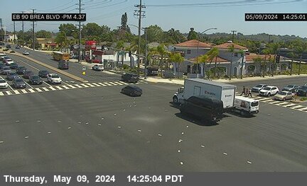


District: 12 Camera ID: 362
Location: SR-90 : Brea Blvd NW Corner
View on Google Maps
Direction: West
Elevation: 367
Location: SR-90 : Brea Blvd NW Corner
View on Google Maps
Direction: West
Elevation: 367
SR-90 near La Habra in Orange County


District: 12 Camera ID: 352
Location: SR-90 : Beach Blvd NW Corner
View on Google Maps
Direction: West
Elevation: 229
Location: SR-90 : Beach Blvd NW Corner
View on Google Maps
Direction: West
Elevation: 229
SR-90 near La Habra in Orange County


District: 12 Camera ID: 355
Location: SR-90 : Euclid St SE Corner
View on Google Maps
Direction: East
Elevation: 269
Location: SR-90 : Euclid St SE Corner
View on Google Maps
Direction: East
Elevation: 269
SR-90 near Brea in Orange County
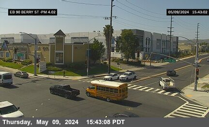


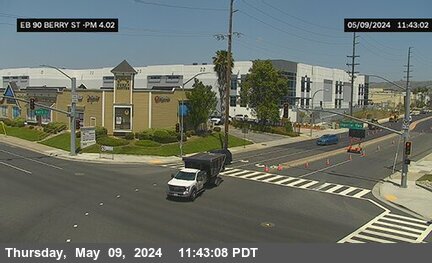
District: 12 Camera ID: 360
Location: SR-90 : Berry St SE Corner
View on Google Maps
Direction: East
Elevation: 334
Location: SR-90 : Berry St SE Corner
View on Google Maps
Direction: East
Elevation: 334
SR-90 near Fullerton in Orange County
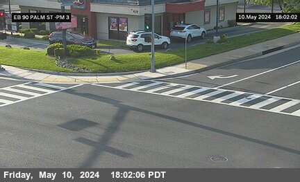


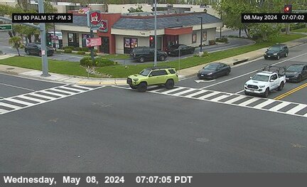
District: 12 Camera ID: 359
Location: SR-90 : Palm St SE Corner
View on Google Maps
Direction: East
Elevation: 308
Location: SR-90 : Palm St SE Corner
View on Google Maps
Direction: East
Elevation: 308
SR-90 near Brea in Orange County
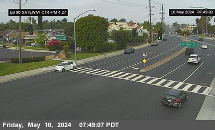


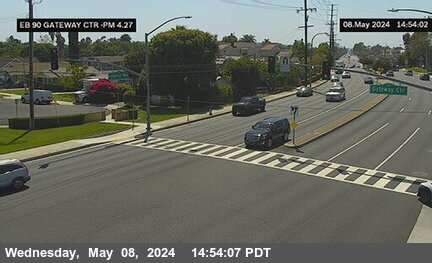
District: 12 Camera ID: 361
Location: SR-90 : Gateway Center NE Corner
View on Google Maps
Direction: West
Elevation: 370
Location: SR-90 : Gateway Center NE Corner
View on Google Maps
Direction: West
Elevation: 370
SR-90 near La Habra in Orange County


District: 12 Camera ID: 353
Location: SR-90 : Market Place NW Corner
View on Google Maps
Direction: West
Elevation: 229
Location: SR-90 : Market Place NW Corner
View on Google Maps
Direction: West
Elevation: 229
SR-90 near La Habra in Orange County


District: 12 Camera ID: 354
Location: SR-90 : Idaho St NW Corner
View on Google Maps
Direction: West
Elevation: 242
Location: SR-90 : Idaho St NW Corner
View on Google Maps
Direction: West
Elevation: 242
SR-90 near La Habra in Orange County


District: 12 Camera ID: 356
Location: SR-90 : Leslie St NW Corner
View on Google Maps
Direction: West
Elevation: 288
Location: SR-90 : Leslie St NW Corner
View on Google Maps
Direction: West
Elevation: 288
SR-90 near La Habra in Orange County


District: 12 Camera ID: 357
Location: SR-90 : Walmart Drwy NE Corner
View on Google Maps
Direction: West
Elevation: 291
Location: SR-90 : Walmart Drwy NE Corner
View on Google Maps
Direction: West
Elevation: 291
SR-90 near Fullerton in Orange County


District: 12 Camera ID: 358
Location: SR-90 : Harbor Blvd NW Corner
View on Google Maps
Direction: West
Elevation: 295
Location: SR-90 : Harbor Blvd NW Corner
View on Google Maps
Direction: West
Elevation: 295
SR-57 near Brea in Orange County


District: 12 Camera ID: 183
Location: SR-57 : North of Birch Street
View on Google Maps
Direction: North
Elevation: 383
Location: SR-57 : North of Birch Street
View on Google Maps
Direction: North
Elevation: 383
SR-57 near Brea in Orange County


District: 12 Camera ID: 82
Location: SR-57 : Lambert Street
View on Google Maps
Direction: North
Elevation: 459
Location: SR-57 : Lambert Street
View on Google Maps
Direction: North
Elevation: 459
SR-57 near Brea in Orange County


District: 12 Camera ID: 184
Location: SR-57 : South of Tonner Canyon Road
View on Google Maps
Direction: North
Elevation: 531
Location: SR-57 : South of Tonner Canyon Road
View on Google Maps
Direction: North
Elevation: 531
SR-57 near Brea in Orange County


District: 12 Camera ID: 185
Location: SR-57 : North of Tonner Canyon Road
View on Google Maps
Direction: North
Elevation: 521
Location: SR-57 : North of Tonner Canyon Road
View on Google Maps
Direction: North
Elevation: 521