Caltrans Cameras on SR-241 in District 12 Real Time Traffic Cameras
SR-241 near Trabuco Canyon in Orange County
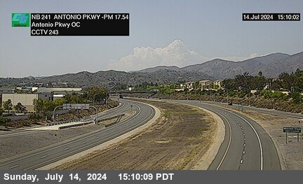


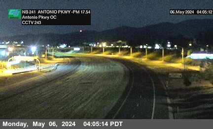
District: 12 Camera ID: 243
Location: SR-241 : North of Antonio Parkway Overcross
View on Google Maps
Direction: North
Elevation: 931
Location: SR-241 : North of Antonio Parkway Overcross
View on Google Maps
Direction: North
Elevation: 931
SR-241 near Trabuco Canyon in Orange County
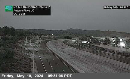


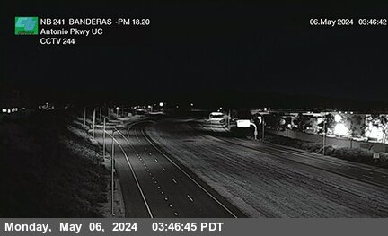
District: 12 Camera ID: 244
Location: SR-241 : Banderas 530 Meters North of Antonio Parkway Undercross
View on Google Maps
Direction: North
Elevation: 961
Location: SR-241 : Banderas 530 Meters North of Antonio Parkway Undercross
View on Google Maps
Direction: North
Elevation: 961
SR-241 near Rancho Santa Margarita in Orange County
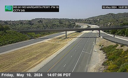


District: 12 Camera ID: 245
Location: SR-241 : North of Santa Margarita Parkway Undercross
View on Google Maps
Direction: North
Elevation: 958
Location: SR-241 : North of Santa Margarita Parkway Undercross
View on Google Maps
Direction: North
Elevation: 958
SR-241 near Rancho Santa Margarita in Orange County
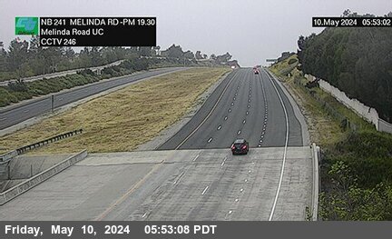


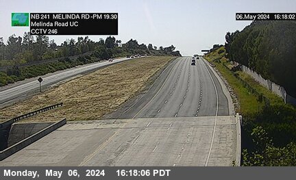
District: 12 Camera ID: 246
Location: SR-241 : 30 Meters South of Melinda Road Undercross
View on Google Maps
Direction: North
Elevation: 1026
Location: SR-241 : 30 Meters South of Melinda Road Undercross
View on Google Maps
Direction: North
Elevation: 1026
SR-241 near Rancho Santa Margarita in Orange County
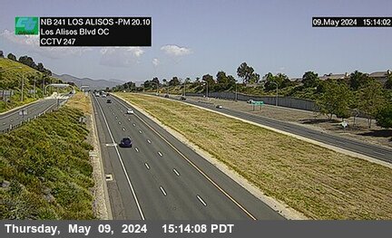


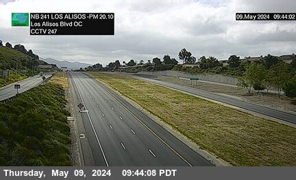
District: 12 Camera ID: 247
Location: SR-241 : Los Alisos Boulevard
View on Google Maps
Direction: North
Elevation: 1040
Location: SR-241 : Los Alisos Boulevard
View on Google Maps
Direction: North
Elevation: 1040
SR-241 near Mission Viejo in Orange County
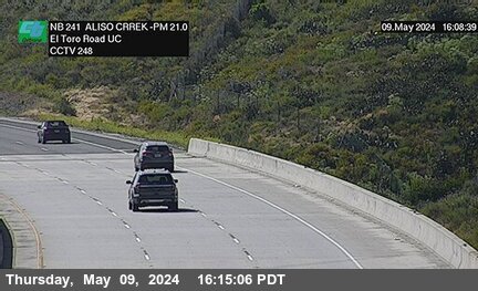


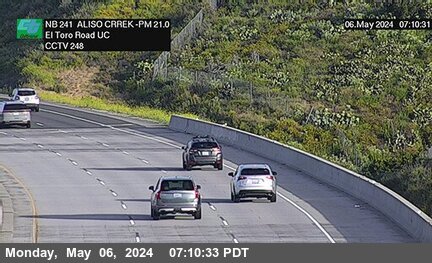
District: 12 Camera ID: 248
Location: SR-241 : Aliso Creek 50 Meters South of El Toro Road Undercross
View on Google Maps
Direction: North
Elevation: 925
Location: SR-241 : Aliso Creek 50 Meters South of El Toro Road Undercross
View on Google Maps
Direction: North
Elevation: 925
SR-241 near Foothill Ranch in Orange County
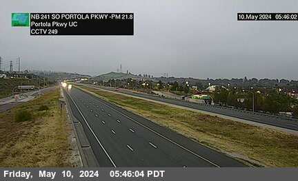


District: 12 Camera ID: 249
Location: SR-241 : 80 Meters South of Portola Parkway Undercross
View on Google Maps
Direction: North
Elevation: 810
Location: SR-241 : 80 Meters South of Portola Parkway Undercross
View on Google Maps
Direction: North
Elevation: 810
SR-241 near Foothill Ranch in Orange County
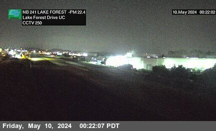


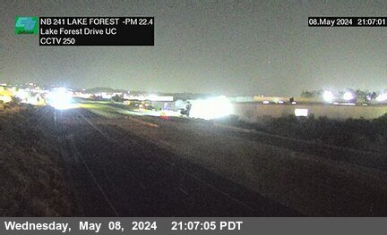
District: 12 Camera ID: 250
Location: SR-241 : 40 Meters South of Lake Forestreet Drive Undercross
View on Google Maps
Direction: North
Elevation: 787
Location: SR-241 : 40 Meters South of Lake Forestreet Drive Undercross
View on Google Maps
Direction: North
Elevation: 787
SR-241 near Foothill Ranch in Orange County
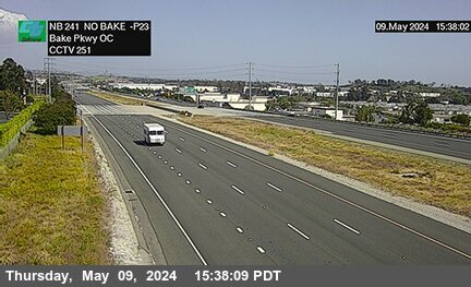


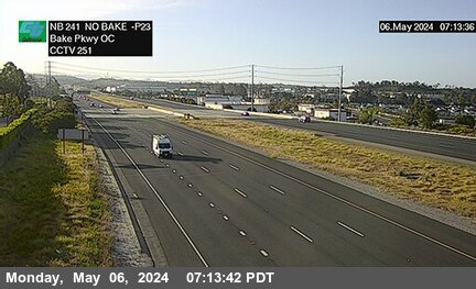
District: 12 Camera ID: 251
Location: SR-241 : 310 Meters North of Bake Parkway Overcross
View on Google Maps
Direction: North
Elevation: 784
Location: SR-241 : 310 Meters North of Bake Parkway Overcross
View on Google Maps
Direction: North
Elevation: 784
SR-241 near Foothill Ranch in Orange County
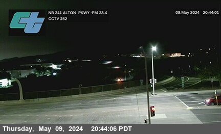


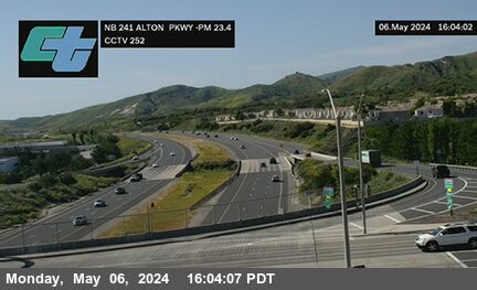
District: 12 Camera ID: 252
Location: SR-241 : 80 Meters South of Alton Parkway Overcross
View on Google Maps
Direction: North
Elevation: 770
Location: SR-241 : 80 Meters South of Alton Parkway Overcross
View on Google Maps
Direction: North
Elevation: 770
SR-241 near Foothill Ranch in Orange County
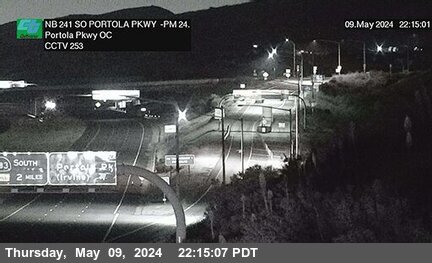


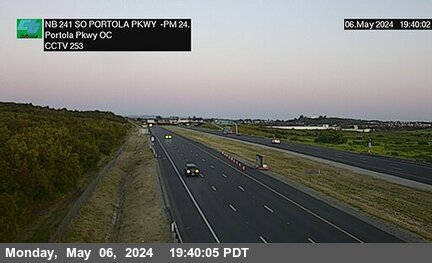
District: 12 Camera ID: 253
Location: SR-241 : 780 Meters South of Portola Parkway Overcross
View on Google Maps
Direction: North
Elevation: 731
Location: SR-241 : 780 Meters South of Portola Parkway Overcross
View on Google Maps
Direction: North
Elevation: 731
SR-241 near Foothill Ranch in Orange County
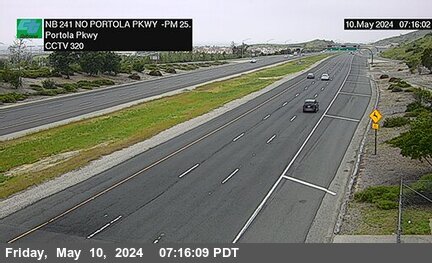


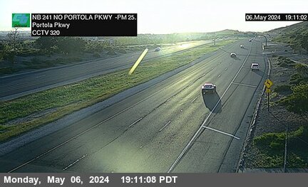
District: 12 Camera ID: 320
Location: SR-241 : 40 Meters North of Portola Parkway
View on Google Maps
Direction: North
Elevation: 698
Location: SR-241 : 40 Meters North of Portola Parkway
View on Google Maps
Direction: North
Elevation: 698
SR-241 near Foothill Ranch in Orange County
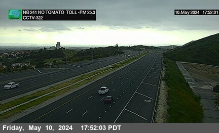


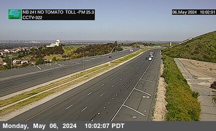
District: 12 Camera ID: 322
Location: SR-241 : North of Tomato Toll
View on Google Maps
Direction: North
Elevation: 606
Location: SR-241 : North of Tomato Toll
View on Google Maps
Direction: North
Elevation: 606
SR-241 near Foothill Ranch in Orange County
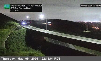


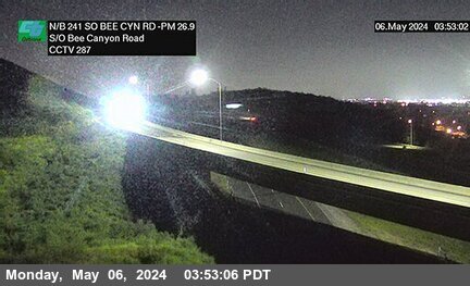
District: 12 Camera ID: 287
Location: SR-241 : 750 Meters South of Bee Canyon Road
View on Google Maps
Direction: North
Elevation: 551
Location: SR-241 : 750 Meters South of Bee Canyon Road
View on Google Maps
Direction: North
Elevation: 551
SR-241 near Irvine in Orange County
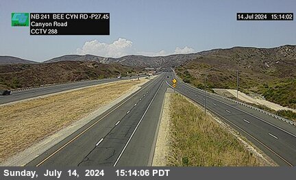


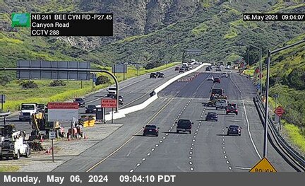
District: 12 Camera ID: 288
Location: SR-241 : 50 Meters South of Bee Canyon Road
View on Google Maps
Direction: North
Elevation: 600
Location: SR-241 : 50 Meters South of Bee Canyon Road
View on Google Maps
Direction: North
Elevation: 600
SR-241 near Irvine in Orange County
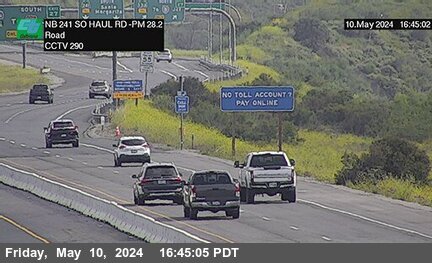


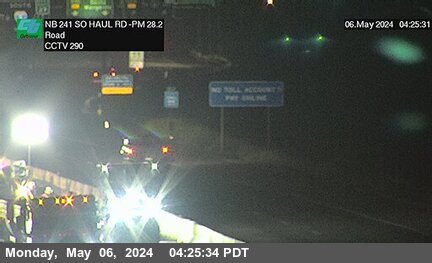
District: 12 Camera ID: 290
Location: SR-241 : 800 Meters South of Haul Road
View on Google Maps
Direction: North
Elevation: 698
Location: SR-241 : 800 Meters South of Haul Road
View on Google Maps
Direction: North
Elevation: 698
SR-241 near Irvine in Orange County
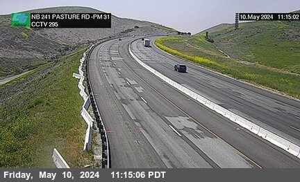


District: 12 Camera ID: 295
Location: SR-241 : Pasture Rd 430 Meters North of North Culver Drive
View on Google Maps
Direction: North
Elevation: 977
Location: SR-241 : Pasture Rd 430 Meters North of North Culver Drive
View on Google Maps
Direction: North
Elevation: 977
SR-241 near Irvine in Orange County
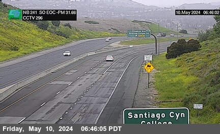


District: 12 Camera ID: 296
Location: SR-241 : SO EOC 1400 Meters North of North Culver Drive
View on Google Maps
Direction: North
Elevation: 948
Location: SR-241 : SO EOC 1400 Meters North of North Culver Drive
View on Google Maps
Direction: North
Elevation: 948
SR-241 near Irvine in Orange County


District: 12 Camera ID: 297
Location: SR-241 : 230 Meters South of Santiago Canyon Road Overcross
View on Google Maps
Direction: North
Elevation: 790
Location: SR-241 : 230 Meters South of Santiago Canyon Road Overcross
View on Google Maps
Direction: North
Elevation: 790
SR-241 near Silverado in Orange County


District: 12 Camera ID: 298
Location: SR-241 : 900 Meters North of Santiago 1 Canyon Road Overcross
View on Google Maps
Direction: North
Elevation: 764
Location: SR-241 : 900 Meters North of Santiago 1 Canyon Road Overcross
View on Google Maps
Direction: North
Elevation: 764
SR-241 near Silverado in Orange County


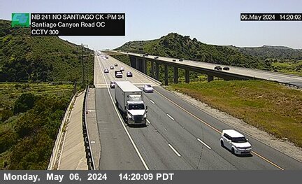
District: 12 Camera ID: 300
Location: SR-241 : 2600 Meters North of Santiago Canyon Road Overcross
View on Google Maps
Direction: North
Elevation: 793
Location: SR-241 : 2600 Meters North of Santiago Canyon Road Overcross
View on Google Maps
Direction: North
Elevation: 793
SR-241 near Silverado in Orange County


District: 12 Camera ID: 299
Location: SR-241 : 1700 Meters North of Santiago 2 Canyon Road Overcross
View on Google Maps
Direction: North
Elevation: 721
Location: SR-241 : 1700 Meters North of Santiago 2 Canyon Road Overcross
View on Google Maps
Direction: North
Elevation: 721
SR-241 near Silverado in Orange County
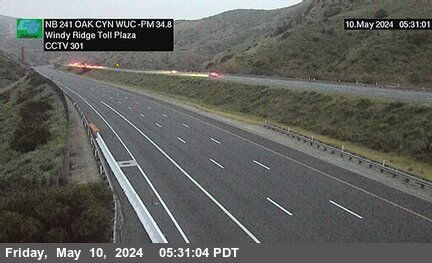


District: 12 Camera ID: 301
Location: SR-241 : Oak 2000 Meters South of Windy Ridge Toll Plaza
View on Google Maps
Direction: North
Elevation: 882
Location: SR-241 : Oak 2000 Meters South of Windy Ridge Toll Plaza
View on Google Maps
Direction: North
Elevation: 882
SR-241 near Orange in Orange County

District: 12 Camera ID: 303
Location: SR-241 : 600 Meters North of Windy Toll Plaza
View on Google Maps
Direction: North
Elevation: 1256
Location: SR-241 : 600 Meters North of Windy Toll Plaza
View on Google Maps
Direction: North
Elevation: 1256
SR-241 near Anaheim in Orange County
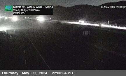


District: 12 Camera ID: 305
Location: SR-241 : 2300 Meters North of Windy WUC Ridge Toll Plaza
View on Google Maps
Direction: North
Elevation: 898
Location: SR-241 : 2300 Meters North of Windy WUC Ridge Toll Plaza
View on Google Maps
Direction: North
Elevation: 898
SR-241 near Anaheim in Orange County
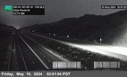


District: 12 Camera ID: 306
Location: SR-241 : 1100 Meters South of SR-91
View on Google Maps
Direction: North
Elevation: 679
Location: SR-241 : 1100 Meters South of SR-91
View on Google Maps
Direction: North
Elevation: 679
SR-241 near Yorba Linda in Orange County
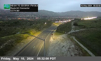


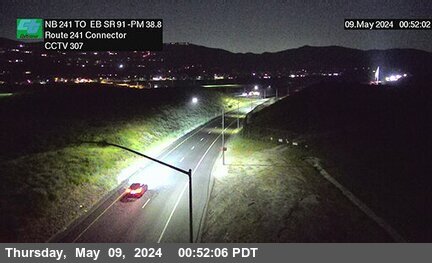
District: 12 Camera ID: 307
Location: SR-241 NB : EB SR-91 -241Connector
View on Google Maps
Direction: North
Elevation: 538
Location: SR-241 NB : EB SR-91 -241Connector
View on Google Maps
Direction: North
Elevation: 538
SR-241 near Anaheim in Orange County
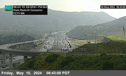


District: 12 Camera ID: 308
Location: SR-241 SB : SR-91 EB
View on Google Maps
Direction: North
Elevation: 485
Location: SR-241 SB : SR-91 EB
View on Google Maps
Direction: North
Elevation: 485