Caltrans Cameras for District 2 Real Time Traffic Cameras
US-395 near Hallelujah Junction in Lassen County
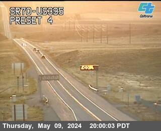


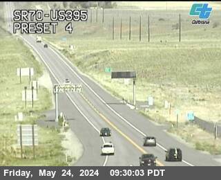
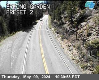
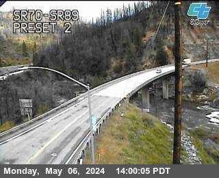
SR-70 near Quincy in Plumas County


SR-99 near Vina in Tehama County


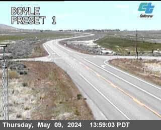
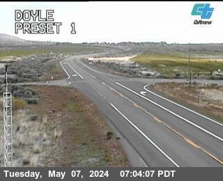
US-395 near Doyle in Lassen County


SR-70 near Quincy in Plumas County


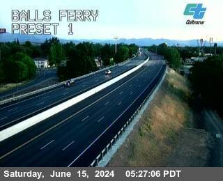
I-5 near Red Bluff in Tehama County
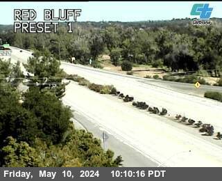


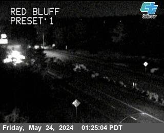
I-5 near Red Bluff in Tehama County
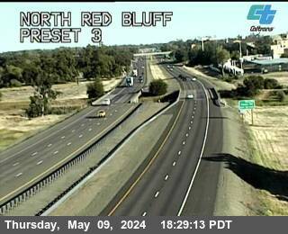


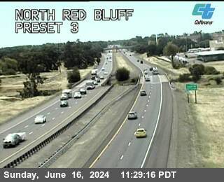
I-5 near Red Bluff in Tehama County


I-5 near Red Bluff in Tehama County


I-5 near Red Bluff in Tehama County


SR-36 near Chester in Plumas County


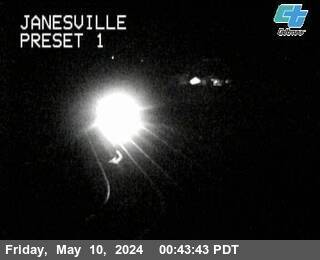
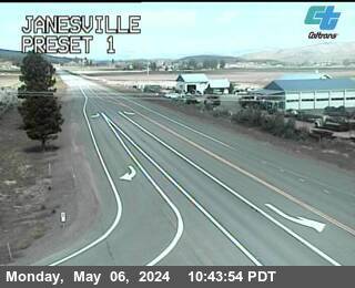
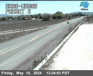
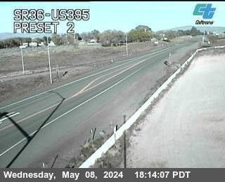
US-395 near Janesville in Lassen County


SR-36 near Chester in Plumas County


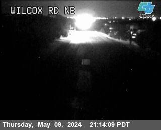
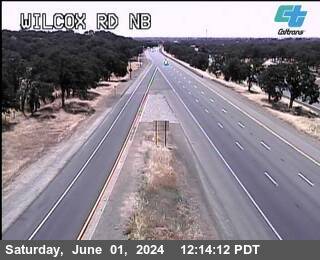
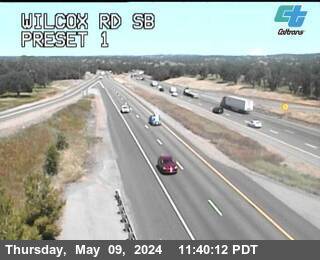
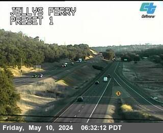
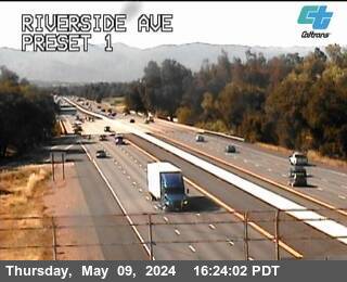
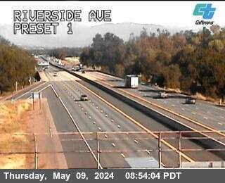
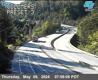
I-5 near Cottonwood in Tehama County


District: 2 Camera ID: 80
Location: Cottonwood Truck Scales
View on Google Maps
Direction:
Elevation: 464
Location: Cottonwood Truck Scales
View on Google Maps
Direction:
Elevation: 464
SR-36 near Susanville in Lassen County


I-5 near Cottonwood in Tehama County


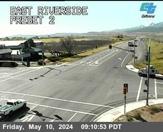
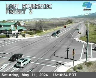
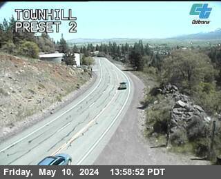
US-395 near Susanville in Lassen County


SR-36 near Susanville in Lassen County


SR-36 near Susanville in Lassen County


SR-36 near Susanville in Lassen County


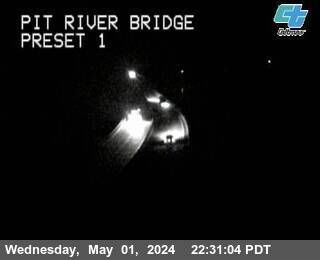
I-5 near Anderson in Shasta County


I-5 near Anderson in Shasta County


I-5 near Anderson in Shasta County


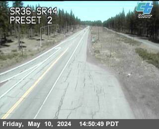
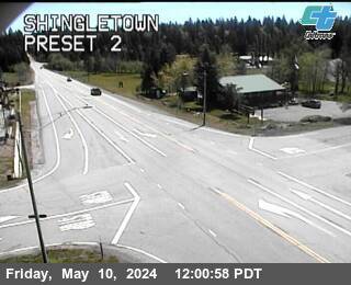
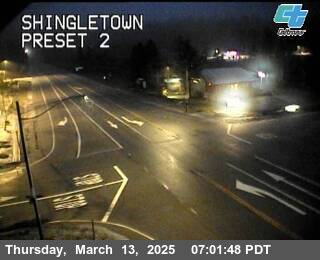
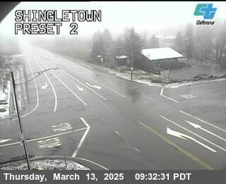
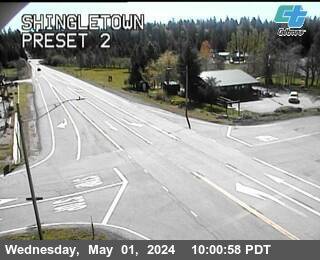
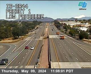
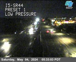
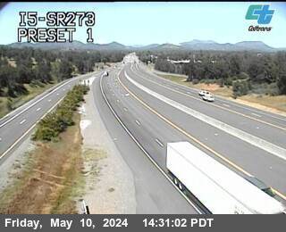
SR-44 near Shingletown in Shasta County


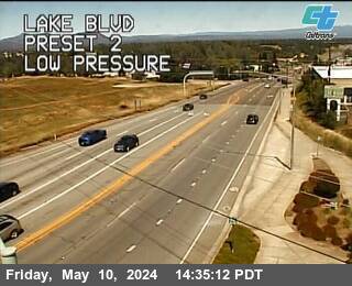
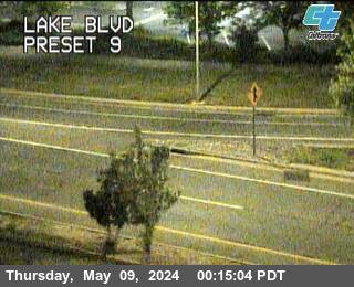
I-5 near Redding in Shasta County


I-5 near Redding in Shasta County


SR-44 near Old Station in Shasta County
I-5 near Redding in Shasta County


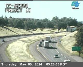
SR-299 near Redding in Shasta County


SR-299 near Redding in Shasta County


I-5 near Redding in Shasta County


SR-44 near Susanville in Lassen County

I-5 near Redding in Shasta County


SR-44 near Redding in Shasta County

SR-299 near Redding in Shasta County


I-5 near Redding in Shasta County


I-5 near Redding in Shasta County


SR-299 near Lewiston in Trinity County


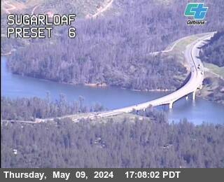
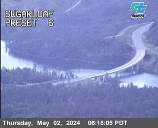
I-5 near Shasta Lake in Shasta County


I-5 near Redding in Shasta County


I-5 near Redding in Shasta County


I-5 near Redding in Shasta County


I-5 near Redding in Shasta County


SR-299 near Weaverville in Trinity County


I-5 near Redding in Shasta County


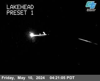
I-5 near Lakehead in Shasta County
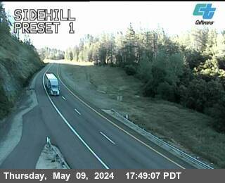


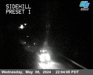
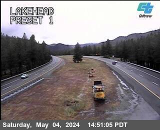
I-5 near Lakehead in Shasta County


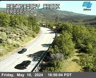
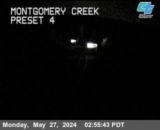
SR-299 near Montgomery Creek in Shasta County


SR-299 near Burney in Shasta County


I-5 near Lakehead in Shasta County


I-5 near Lakehead in Shasta County


I-5 near Lakehead in Shasta County


I-5 near Lakehead in Shasta County


I-5 near Lakehead in Shasta County


SR-299 near Burney in Shasta County


I-5 near Lakehead in Shasta County


I-5 near Lakehead in Shasta County


I-5 near Lakehead in Shasta County


I-5 near Castella in Shasta County


I-5 near Castella in Shasta County


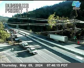
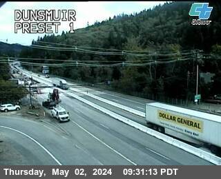
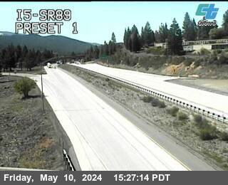
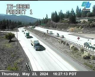
I-5 near Dunsmuir in Siskiyou County


I-5 near Mount Shasta in Siskiyou County


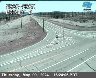
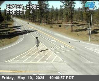
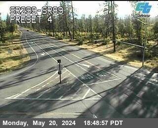
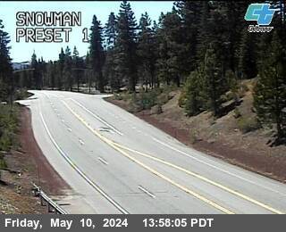
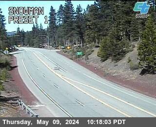
SR-89 near McCloud in Siskiyou County


I-5 near Mount Shasta in Siskiyou County


I-5 near Mount Shasta in Siskiyou County


I-5 near Mount Shasta in Siskiyou County


I-5 near Mount Shasta in Siskiyou County
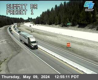


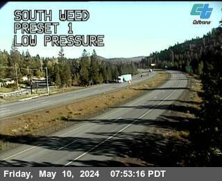
I-5 near Weed in Siskiyou County


I-5 near Weed in Siskiyou County


I-5 near Weed in Siskiyou County
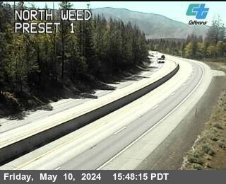


I-5 near Weed in Siskiyou County


I-5 near Weed in Siskiyou County


SR-299 near Alturas in Modoc County


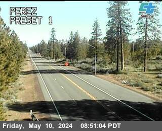
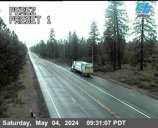
SR-139 near Perez Agriculture Inspection Facility in Modoc County


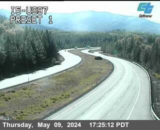
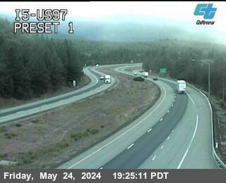
US-97 near Weed in Siskiyou County


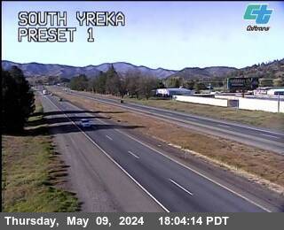
I-5 near Yreka in Siskiyou County


I-5 near Yreka in Siskiyou County


US-97 near Macdoel in Siskiyou County


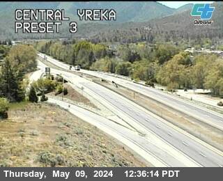
I-5 near Yreka in Siskiyou County


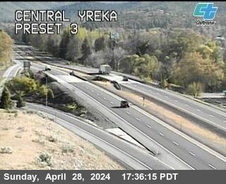
I-5 near Yreka in Siskiyou County


US-97 near Dorris in Siskiyou County


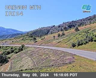
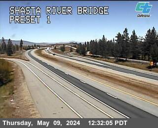
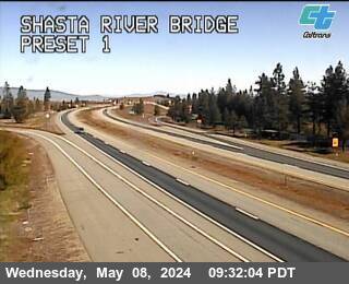
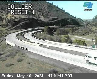
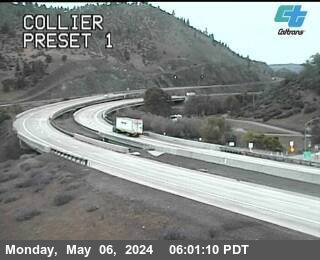
I-5 near Hornbrook in Siskiyou County
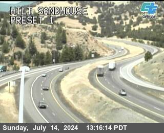


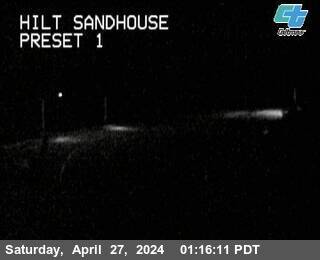
I-5 near Hornbrook in Siskiyou County