Caltrans Cameras on US-50 in District 3 Real Time Traffic Cameras
US-50 near West Sacramento in Yolo County


US-50 near West Sacramento in Yolo County


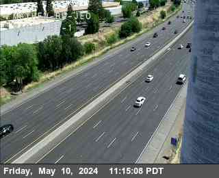
District: 3 Camera ID: 18
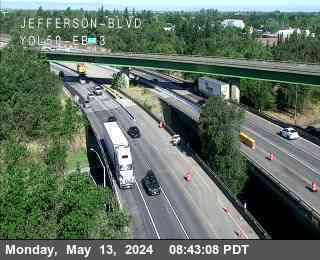
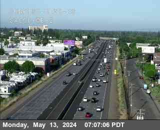
Location: Hwy 50 at Jefferson Blvd JWO
View on Google Maps
Direction: East
Elevation: 29
Location: Hwy 50 at Jefferson Blvd JWO
View on Google Maps
Direction: East
Elevation: 29
US-50 near West Sacramento in Yolo County


District: 3 Camera ID: 245
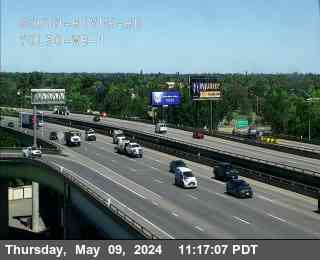
Location: Hwy 50 at Jefferson Blvd 1
View on Google Maps
Direction: East
Elevation: 6
Location: Hwy 50 at Jefferson Blvd 1
View on Google Maps
Direction: East
Elevation: 6
US-50 near West Sacramento in Yolo County


District: 3 Camera ID: 246
Location: Hwy 50 at Jefferson Blvd 2
View on Google Maps
Direction: East
Elevation: 6
Location: Hwy 50 at Jefferson Blvd 2
View on Google Maps
Direction: East
Elevation: 6
US-50 near West Sacramento in Yolo County


District: 3 Camera ID: 247
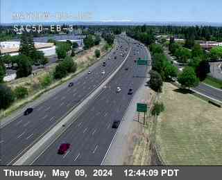
Location: Hwy 50 at Jefferson Blvd 3
View on Google Maps
Direction:
Elevation: 6
Location: Hwy 50 at Jefferson Blvd 3
View on Google Maps
Direction:
Elevation: 6
US-50 near West Sacramento in Yolo County


District: 3 Camera ID: 248
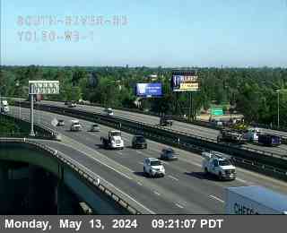
Location: Hwy 50 at South River Rd 1
View on Google Maps
Direction: West
Elevation: 22
Location: Hwy 50 at South River Rd 1
View on Google Maps
Direction: West
Elevation: 22
US-50 near West Sacramento in Yolo County


District: 3 Camera ID: 249
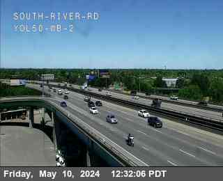
Location: Hwy 50 at South River Rd 2
View on Google Maps
Direction: West
Elevation: 22
Location: Hwy 50 at South River Rd 2
View on Google Maps
Direction: West
Elevation: 22
US-50 near West Sacramento in Yolo County


District: 3 Camera ID: 250
Location: Hwy 50 at South River Rd 3
View on Google Maps
Direction: West
Elevation: 22
Location: Hwy 50 at South River Rd 3
View on Google Maps
Direction: West
Elevation: 22
US-50 near Sacramento in Sacramento County


US-50 near Sacramento in Sacramento County


US-50 near Sacramento in Sacramento County


US-50 near Sacramento in Sacramento County


US-50 near Sacramento in Sacramento County


US-50 near Sacramento in Sacramento County


District: 3 Camera ID: 251
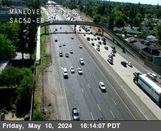
Location: Hwy 50 at Manlove POC 1
View on Google Maps
Direction:
Elevation: 45
Location: Hwy 50 at Manlove POC 1
View on Google Maps
Direction:
Elevation: 45
US-50 near Sacramento in Sacramento County


District: 3 Camera ID: 252
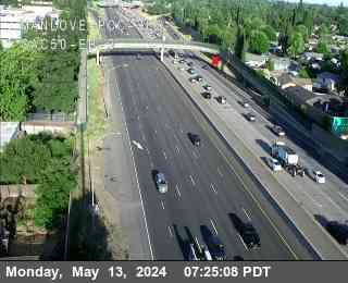
Location: Hwy 50 at Manlove POC 2
View on Google Maps
Direction:
Elevation: 45
Location: Hwy 50 at Manlove POC 2
View on Google Maps
Direction:
Elevation: 45
US-50 near Sacramento in Sacramento County


District: 3 Camera ID: 292
Location: Hwy 50 at Manlove POC 3
View on Google Maps
Direction:
Elevation: 45
Location: Hwy 50 at Manlove POC 3
View on Google Maps
Direction:
Elevation: 45
US-50 near Sacramento in Sacramento County


District: 3 Camera ID: 253
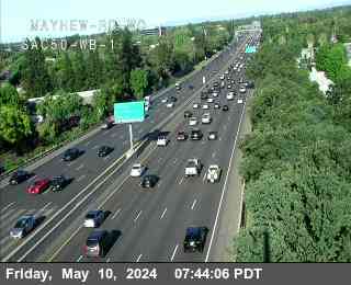
Location: Hwy 50 at Mayhew Rd WO 1
View on Google Maps
Direction:
Elevation: 52
Location: Hwy 50 at Mayhew Rd WO 1
View on Google Maps
Direction:
Elevation: 52
US-50 near Sacramento in Sacramento County


District: 3 Camera ID: 254
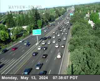
Location: Hwy 50 at Mayhew Rd WO 2
View on Google Maps
Direction:
Elevation: 52
Location: Hwy 50 at Mayhew Rd WO 2
View on Google Maps
Direction:
Elevation: 52
US-50 near Sacramento in Sacramento County


District: 3 Camera ID: 255
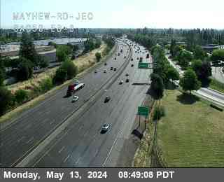
Location: Hwy 50 at Mayhew Rd WO 3
View on Google Maps
Direction:
Elevation: 52
Location: Hwy 50 at Mayhew Rd WO 3
View on Google Maps
Direction:
Elevation: 52
US-50 near Sacramento in Sacramento County


District: 3 Camera ID: 270
Location: Hwy 50 at Mayhew Rd 1
View on Google Maps
Direction:
Elevation: 52
Location: Hwy 50 at Mayhew Rd 1
View on Google Maps
Direction:
Elevation: 52
US-50 near Sacramento in Sacramento County


District: 3 Camera ID: 271
Location: Hwy 50 at Mayhew Rd 2
View on Google Maps
Direction:
Elevation: 52
Location: Hwy 50 at Mayhew Rd 2
View on Google Maps
Direction:
Elevation: 52
US-50 near Sacramento in Sacramento County


District: 3 Camera ID: 291
Location: Hwy 50 at Mayhew Rd 3
View on Google Maps
Direction:
Elevation: 52
Location: Hwy 50 at Mayhew Rd 3
View on Google Maps
Direction:
Elevation: 52
US-50 near Sacramento in Sacramento County


District: 3 Camera ID: 274
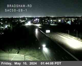
Location: Hwy 50 at Bradshaw Rd 1
View on Google Maps
Direction:
Elevation: 65
Location: Hwy 50 at Bradshaw Rd 1
View on Google Maps
Direction:
Elevation: 65
US-50 near Sacramento in Sacramento County


District: 3 Camera ID: 275
Location: Hwy 50 at Bradshaw Rd 2
View on Google Maps
Direction:
Elevation: 65
Location: Hwy 50 at Bradshaw Rd 2
View on Google Maps
Direction:
Elevation: 65
US-50 near Sacramento in Sacramento County


District: 3 Camera ID: 276
Location: Hwy 50 at Bradshaw Rd 3
View on Google Maps
Direction:
Elevation: 65
Location: Hwy 50 at Bradshaw Rd 3
View on Google Maps
Direction:
Elevation: 65
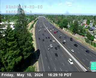
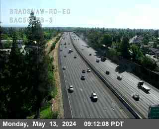
US-50 near Sacramento in Sacramento County


District: 3 Camera ID: 277
Location: Hwy 50 at Bradshaw Rd EO 1
View on Google Maps
Direction:
Elevation: 72
Location: Hwy 50 at Bradshaw Rd EO 1
View on Google Maps
Direction:
Elevation: 72
US-50 near Sacramento in Sacramento County


District: 3 Camera ID: 279
Location: Hwy 50 at Bradshaw Rd EO 2
View on Google Maps
Direction:
Elevation: 72
Location: Hwy 50 at Bradshaw Rd EO 2
View on Google Maps
Direction:
Elevation: 72
US-50 near Sacramento in Sacramento County


District: 3 Camera ID: 280
Location: Hwy 50 at Bradshaw Rd EO 3
View on Google Maps
Direction:
Elevation: 72
Location: Hwy 50 at Bradshaw Rd EO 3
View on Google Maps
Direction:
Elevation: 72
US-50 near Sacramento in Sacramento County
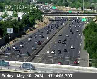


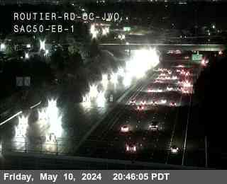
District: 3 Camera ID: 281
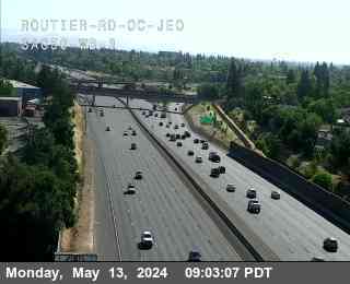
Location: Hwy 50 at Routier Rd JWO 1
View on Google Maps
Direction:
Elevation: 78
Location: Hwy 50 at Routier Rd JWO 1
View on Google Maps
Direction:
Elevation: 78
US-50 near Sacramento in Sacramento County


District: 3 Camera ID: 282
Location: Hwy 50 at Routier Rd JWO 2
View on Google Maps
Direction:
Elevation: 78
Location: Hwy 50 at Routier Rd JWO 2
View on Google Maps
Direction:
Elevation: 78
US-50 near Sacramento in Sacramento County


District: 3 Camera ID: 285
Location: Hwy 50 at Routier Rd JWO 3
View on Google Maps
Direction:
Elevation: 78
Location: Hwy 50 at Routier Rd JWO 3
View on Google Maps
Direction:
Elevation: 78
US-50 near Sacramento in Sacramento County


District: 3 Camera ID: 284
Location: Hwy 50 at Routier Rd JEO 1
View on Google Maps
Direction:
Elevation: 82
Location: Hwy 50 at Routier Rd JEO 1
View on Google Maps
Direction:
Elevation: 82
US-50 near Sacramento in Sacramento County


District: 3 Camera ID: 286
Location: Hwy 50 at Routier Rd JEO 2
View on Google Maps
Direction:
Elevation: 82
Location: Hwy 50 at Routier Rd JEO 2
View on Google Maps
Direction:
Elevation: 82
US-50 near Sacramento in Sacramento County


District: 3 Camera ID: 287
Location: Hwy 50 at Routier Rd JEO 3
View on Google Maps
Direction:
Elevation: 82
Location: Hwy 50 at Routier Rd JEO 3
View on Google Maps
Direction:
Elevation: 82
US-50 near Sacramento in Sacramento County


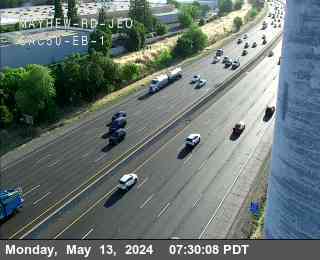
District: 3 Camera ID: 256
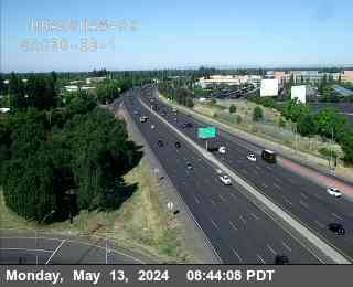
Location: Hwy 50 at Mather Field EB 1
View on Google Maps
Direction: East
Elevation: 75
Location: Hwy 50 at Mather Field EB 1
View on Google Maps
Direction: East
Elevation: 75
US-50 near Sacramento in Sacramento County


District: 3 Camera ID: 257
Location: Hwy 50 at Mather Field EB 2
View on Google Maps
Direction: East
Elevation: 75
Location: Hwy 50 at Mather Field EB 2
View on Google Maps
Direction: East
Elevation: 75
US-50 near Sacramento in Sacramento County


District: 3 Camera ID: 258
Location: Hwy 50 at Mather Field EB 3
View on Google Maps
Direction: East
Elevation: 75
Location: Hwy 50 at Mather Field EB 3
View on Google Maps
Direction: East
Elevation: 75
US-50 near Rancho Cordova in Sacramento County


District: 3 Camera ID: 259
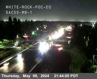
Location: Hwy 50 at White Rock POC EO 1
View on Google Maps
Direction: West
Elevation: 95
Location: Hwy 50 at White Rock POC EO 1
View on Google Maps
Direction: West
Elevation: 95
US-50 near Rancho Cordova in Sacramento County


District: 3 Camera ID: 260
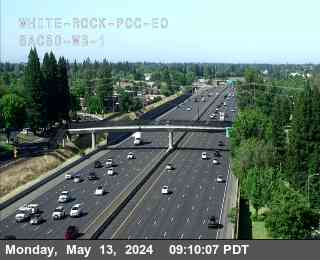
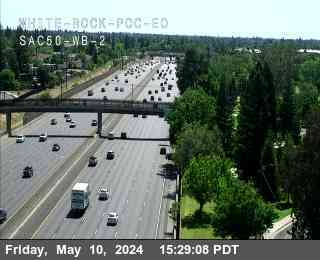
Location: Hwy 50 at White Rock POC EO 2
View on Google Maps
Direction: West
Elevation: 95
Location: Hwy 50 at White Rock POC EO 2
View on Google Maps
Direction: West
Elevation: 95
US-50 near Rancho Cordova in Sacramento County


District: 3 Camera ID: 261
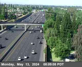
Location: Hwy 50 at White Rock POC EO 3
View on Google Maps
Direction: West
Elevation: 95
Location: Hwy 50 at White Rock POC EO 3
View on Google Maps
Direction: West
Elevation: 95
US-50 near Rancho Cordova in Sacramento County


District: 3 Camera ID: 262
Location: Hwy 50 at Zinfandel Dr EB 1
View on Google Maps
Direction: East
Elevation: 111
Location: Hwy 50 at Zinfandel Dr EB 1
View on Google Maps
Direction: East
Elevation: 111
US-50 near Rancho Cordova in Sacramento County


District: 3 Camera ID: 263
Location: Hwy 50 at Zinfandel Dr EB 2
View on Google Maps
Direction: East
Elevation: 111
Location: Hwy 50 at Zinfandel Dr EB 2
View on Google Maps
Direction: East
Elevation: 111
US-50 near Rancho Cordova in Sacramento County


District: 3 Camera ID: 264
Location: Hwy 50 at Zinfandel Dr EB 3
View on Google Maps
Direction: East
Elevation: 111
Location: Hwy 50 at Zinfandel Dr EB 3
View on Google Maps
Direction: East
Elevation: 111
US-50 near Rancho Cordova in Sacramento County


District: 3 Camera ID: 265
Location: Hwy 50 at Zinfandel Dr EO EB 1
View on Google Maps
Direction: East
Elevation: 118
Location: Hwy 50 at Zinfandel Dr EO EB 1
View on Google Maps
Direction: East
Elevation: 118
US-50 near Rancho Cordova in Sacramento County


District: 3 Camera ID: 266
Location: Hwy 50 at Zinfandel Dr EO EB 2
View on Google Maps
Direction: East
Elevation: 118
Location: Hwy 50 at Zinfandel Dr EO EB 2
View on Google Maps
Direction: East
Elevation: 118
US-50 near Rancho Cordova in Sacramento County


District: 3 Camera ID: 267
Location: Hwy 50 at Zinfandel Dr EO EB 3
View on Google Maps
Direction: East
Elevation: 118
Location: Hwy 50 at Zinfandel Dr EO EB 3
View on Google Maps
Direction: East
Elevation: 118
US-50 near Rancho Cordova in Sacramento County


District: 3 Camera ID: 268
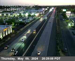
Location: Hwy 50 at Sunrise Blvd OC JWO WB 1
View on Google Maps
Direction: West
Elevation: 104
Location: Hwy 50 at Sunrise Blvd OC JWO WB 1
View on Google Maps
Direction: West
Elevation: 104
US-50 near Rancho Cordova in Sacramento County


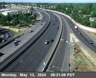
District: 3 Camera ID: 269
Location: Hwy 50 at Sunrise Blvd OC JWO WB 2
View on Google Maps
Direction: West
Elevation: 104
Location: Hwy 50 at Sunrise Blvd OC JWO WB 2
View on Google Maps
Direction: West
Elevation: 104
US-50 near Rancho Cordova in Sacramento County
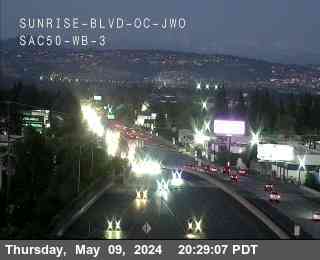


District: 3 Camera ID: 299
Location: Hwy 50 at Sunrise Blvd OC JWO WB 3
View on Google Maps
Direction: West
Elevation: 104
Location: Hwy 50 at Sunrise Blvd OC JWO WB 3
View on Google Maps
Direction: West
Elevation: 104
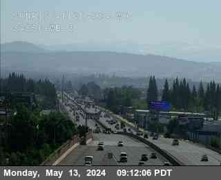
US-50 near Rancho Cordova in Sacramento County


District: 3 Camera ID: 272
Location: Hwy 50 at Sunrise Blvd EO WB 2
View on Google Maps
Direction: West
Elevation: 131
Location: Hwy 50 at Sunrise Blvd EO WB 2
View on Google Maps
Direction: West
Elevation: 131
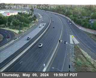
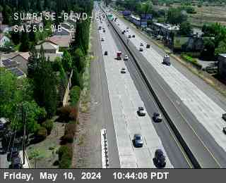
US-50 near Rancho Cordova in Sacramento County


District: 3 Camera ID: 273
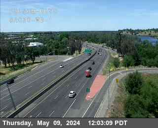
Location: Hwy 50 at Sunrise Blvd EO WB 1
View on Google Maps
Direction: West
Elevation: 131
Location: Hwy 50 at Sunrise Blvd EO WB 1
View on Google Maps
Direction: West
Elevation: 131
US-50 near Rancho Cordova in Sacramento County


District: 3 Camera ID: 300
Location: Hwy 50 at Sunrise Blvd EO WB 3
View on Google Maps
Direction: West
Elevation: 131
Location: Hwy 50 at Sunrise Blvd EO WB 3
View on Google Maps
Direction: West
Elevation: 131
US-50 near Rancho Cordova in Sacramento County


District: 3 Camera ID: 290
Location: Hwy 50 at Hazel Ave OC WO WB 3
View on Google Maps
Direction: West
Elevation: 141
Location: Hwy 50 at Hazel Ave OC WO WB 3
View on Google Maps
Direction: West
Elevation: 141
US-50 near Rancho Cordova in Sacramento County


District: 3 Camera ID: 289
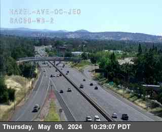
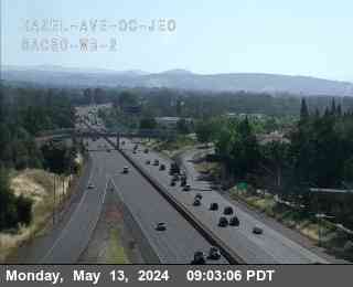
Location: Hwy 50 at Hazel Ave OC WO WB 2
View on Google Maps
Direction: West
Elevation: 141
Location: Hwy 50 at Hazel Ave OC WO WB 2
View on Google Maps
Direction: West
Elevation: 141
US-50 near Rancho Cordova in Sacramento County


District: 3 Camera ID: 288
Location: Hwy 50 at Hazel Ave OC WO WB 1
View on Google Maps
Direction: West
Elevation: 141
Location: Hwy 50 at Hazel Ave OC WO WB 1
View on Google Maps
Direction: West
Elevation: 141
US-50 near Rancho Cordova in Sacramento County


District: 3 Camera ID: 233
Location: Hwy 50 at Hazel OC JEO WB 1
View on Google Maps
Direction: West
Elevation: 137
Location: Hwy 50 at Hazel OC JEO WB 1
View on Google Maps
Direction: West
Elevation: 137
US-50 near Rancho Cordova in Sacramento County


District: 3 Camera ID: 234
Location: Hwy 50 at Hazel OC JEO WB 2
View on Google Maps
Direction: East
Elevation: 137
Location: Hwy 50 at Hazel OC JEO WB 2
View on Google Maps
Direction: East
Elevation: 137
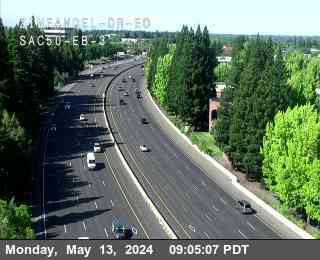
US-50 near Folsom in Sacramento County


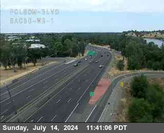
District: 3 Camera ID: 232
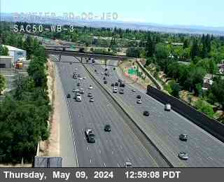
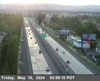
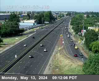
Location: Hwy 50 at Folsom_Blvd_SAC50_WB_1
View on Google Maps
Direction: West
Elevation: 164
Location: Hwy 50 at Folsom_Blvd_SAC50_WB_1
View on Google Maps
Direction: West
Elevation: 164
US-50 near Folsom in Sacramento County
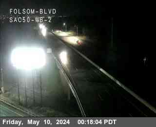


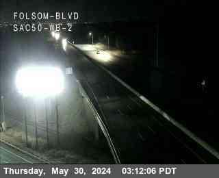
District: 3 Camera ID: 240
Location: Hwy 50 at Folsom_Blvd_SAC50_WB_2
View on Google Maps
Direction: West
Elevation: 164
Location: Hwy 50 at Folsom_Blvd_SAC50_WB_2
View on Google Maps
Direction: West
Elevation: 164
US-50 near Folsom in Sacramento County
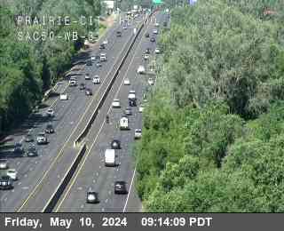


District: 3 Camera ID: 278
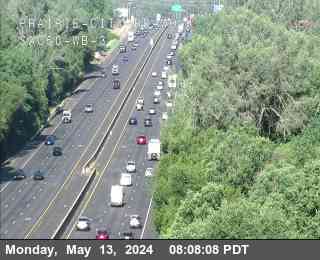
Location: Hwy 50 at Prairie City Rd WO WB 3
View on Google Maps
Direction:
Elevation: 223
Location: Hwy 50 at Prairie City Rd WO WB 3
View on Google Maps
Direction:
Elevation: 223
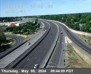
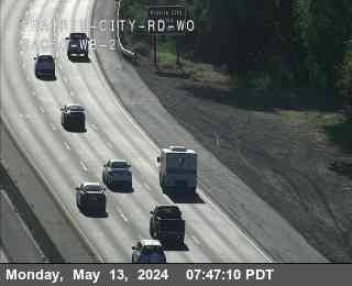
US-50 near Folsom in Sacramento County


District: 3 Camera ID: 283
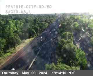
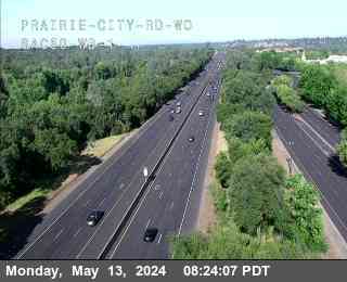
Location: Hwy 50 at Prairie City Rd WO WB 1
View on Google Maps
Direction: West
Elevation: 223
Location: Hwy 50 at Prairie City Rd WO WB 1
View on Google Maps
Direction: West
Elevation: 223
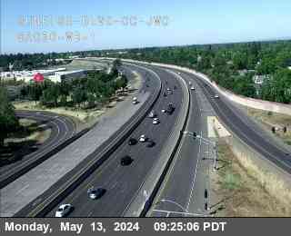
US-50 near Folsom in Sacramento County


District: 3 Camera ID: 298
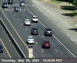
Location: Hwy 50 at Prairie City Rd WO WB 2
View on Google Maps
Direction: West
Elevation: 223
Location: Hwy 50 at Prairie City Rd WO WB 2
View on Google Maps
Direction: West
Elevation: 223
US-50 near Folsom in Sacramento County
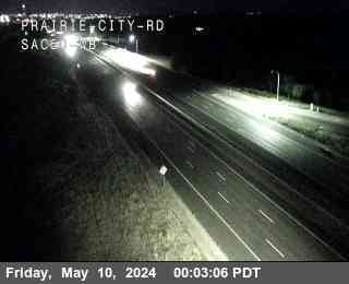


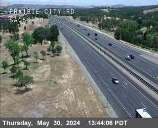
District: 3 Camera ID: 231
Location: Hwy 50 at Prairie City
View on Google Maps
Direction: West
Elevation: 275
Location: Hwy 50 at Prairie City
View on Google Maps
Direction: West
Elevation: 275
US-50 near Folsom in Sacramento County
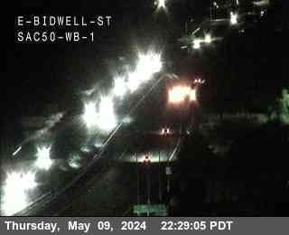


District: 3 Camera ID: 229
Location: Hwy 50 at E_Bidwell_St_SAC50_WB_1
View on Google Maps
Direction: West
Elevation: 439
Location: Hwy 50 at E_Bidwell_St_SAC50_WB_1
View on Google Maps
Direction: West
Elevation: 439
US-50 near Folsom in Sacramento County


District: 3 Camera ID: 230
Location: Hwy 50 at E_Bidwell_St_SAC50_WB_2
View on Google Maps
Direction: East
Elevation: 439
Location: Hwy 50 at E_Bidwell_St_SAC50_WB_2
View on Google Maps
Direction: East
Elevation: 439
US-50 near El Dorado Hills in El Dorado County


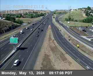
District: 3 Camera ID: 145
Location: Hwy 50 at El Dorado ED50 WB 1
View on Google Maps
Direction:
Elevation: 639
Location: Hwy 50 at El Dorado ED50 WB 1
View on Google Maps
Direction:
Elevation: 639
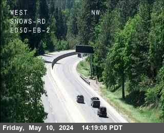
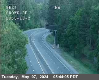
US-50 near El Dorado Hills in El Dorado County
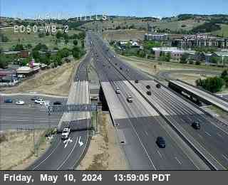


District: 3 Camera ID: 228
Location: Hwy 50 at El Dorado ED50 WB 2
View on Google Maps
Direction:
Elevation: 636
Location: Hwy 50 at El Dorado ED50 WB 2
View on Google Maps
Direction:
Elevation: 636
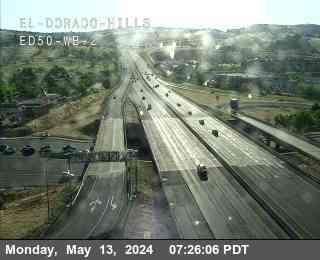
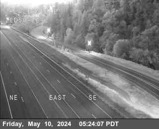
US-50 near El Dorado Hills in El Dorado County


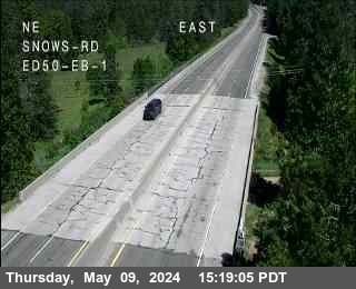
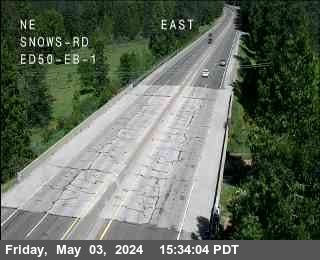
District: 3 Camera ID: 235
Location: Hwy 50 at El Dorado ED50 WB 3
View on Google Maps
Direction: East
Elevation: 636
Location: Hwy 50 at El Dorado ED50 WB 3
View on Google Maps
Direction: East
Elevation: 636
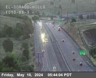
US-50 near El Dorado Hills in El Dorado County


District: 3 Camera ID: 187
Location: Hwy 50 at Silva_Valley_ED50_WB
View on Google Maps
Direction:
Elevation: 725
Location: Hwy 50 at Silva_Valley_ED50_WB
View on Google Maps
Direction:
Elevation: 725
US-50 near El Dorado Hills in El Dorado County


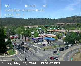
US-50 near Cameron Park Dr in El Dorado County


District: 3 Camera ID: 225
Location: Hwy 50 at Cameron_Park_ED50_WB_1
View on Google Maps
Direction: West
Elevation: 1200
Location: Hwy 50 at Cameron_Park_ED50_WB_1
View on Google Maps
Direction: West
Elevation: 1200
US-50 near Cameron Park Dr in El Dorado County
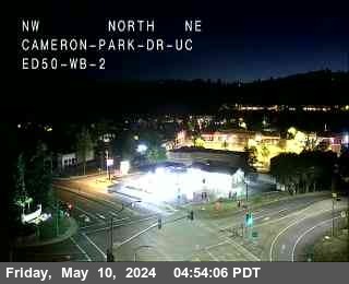


District: 3 Camera ID: 226
Location: Hwy 50 at Cameron_Park_ED50_WB_2
View on Google Maps
Direction: East
Elevation: 1200
Location: Hwy 50 at Cameron_Park_ED50_WB_2
View on Google Maps
Direction: East
Elevation: 1200
US-50 near Shingle Springs in El Dorado County


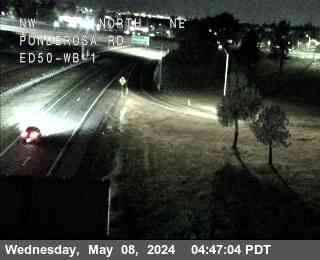
District: 3 Camera ID: 193
Location: Hwy 50 at Ponderosa 1
View on Google Maps
Direction:
Elevation: 1509
Location: Hwy 50 at Ponderosa 1
View on Google Maps
Direction:
Elevation: 1509
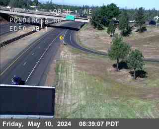
US-50 near Shingle Springs in El Dorado County


District: 3 Camera ID: 192
Location: Hwy 50 at Ponderosa 2
View on Google Maps
Direction:
Elevation: 1509
Location: Hwy 50 at Ponderosa 2
View on Google Maps
Direction:
Elevation: 1509
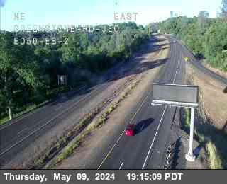
US-50 near Greenstone Rd in El Dorado County


District: 3 Camera ID: 223
Location: Hwy 50 at Greenstone 1
View on Google Maps
Direction: West
Elevation: 1500
Location: Hwy 50 at Greenstone 1
View on Google Maps
Direction: West
Elevation: 1500
US-50 near Greenstone Rd in El Dorado County


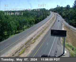
District: 3 Camera ID: 224
Location: Hwy 50 at Greenstone 2
View on Google Maps
Direction: East
Elevation: 1500
Location: Hwy 50 at Greenstone 2
View on Google Maps
Direction: East
Elevation: 1500
US-50 near Placerville in El Dorado County
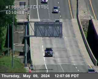


District: 3 Camera ID: 190
Location: Hwy 50 at Missouri Flat 2
View on Google Maps
Direction: East
Elevation: 1758
Location: Hwy 50 at Missouri Flat 2
View on Google Maps
Direction: East
Elevation: 1758
US-50 near Placerville in El Dorado County


District: 3 Camera ID: 189
Location: Hwy 50 at Missouri Flat 1
View on Google Maps
Direction: East
Elevation: 1758
Location: Hwy 50 at Missouri Flat 1
View on Google Maps
Direction: East
Elevation: 1758
US-50 near Placerville in El Dorado County


US-50 near Placerville in El Dorado County


US-50 near Placerville in El Dorado County


District: 3 Camera ID: 210
Location: Placerville_ED50_EB_1
View on Google Maps
Direction:
Elevation: 1788
Location: Placerville_ED50_EB_1
View on Google Maps
Direction:
Elevation: 1788
US-50 near Placerville in El Dorado County


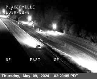
District: 3 Camera ID: 211
Location: Placerville_ED50_EB_2
View on Google Maps
Direction:
Elevation: 1788
Location: Placerville_ED50_EB_2
View on Google Maps
Direction:
Elevation: 1788
US-50 near Placerville in El Dorado County
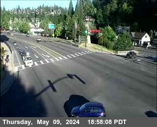


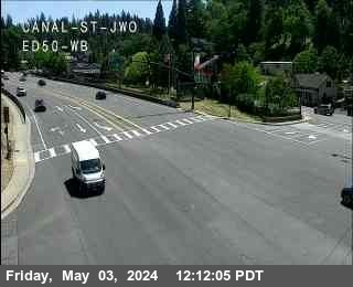
District: 3 Camera ID: 184
Location: Hwy 50 at Canal St
View on Google Maps
Direction: West
Elevation: 1840
Location: Hwy 50 at Canal St
View on Google Maps
Direction: West
Elevation: 1840
US-50 near Placerville in El Dorado County
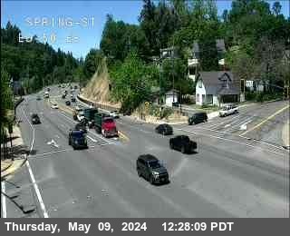


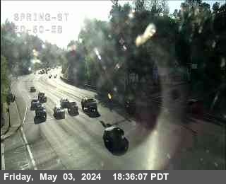
District: 3 Camera ID: 35
Location: Hwy 50 at Spring
View on Google Maps
Direction: East
Elevation: 1856
Location: Hwy 50 at Spring
View on Google Maps
Direction: East
Elevation: 1856
US-50 near Placerville in El Dorado County
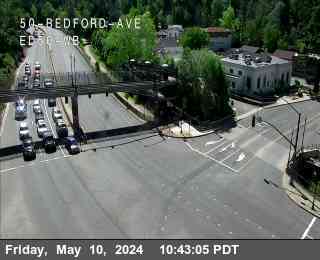


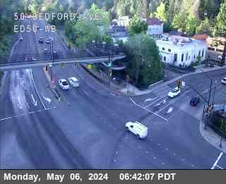
District: 3 Camera ID: 185
Location: Hwy 50 at Bedford
View on Google Maps
Direction: West
Elevation: 1876
Location: Hwy 50 at Bedford
View on Google Maps
Direction: West
Elevation: 1876
US-50 near Camino in El Dorado County


US-50 near Camino in El Dorado County


US-50 near Pollock Pines in El Dorado County


US-50 near Pollock Pines in El Dorado County


US-50 near Pollock Pines in El Dorado County
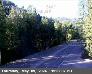


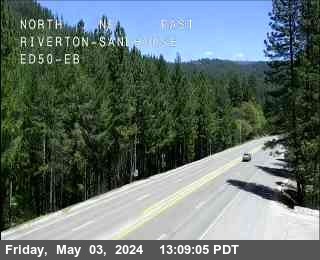
District: 3 Camera ID: 222
Location: Hwy 50 at Riverton Sandhouse
View on Google Maps
Direction:
Elevation: 3231
Location: Hwy 50 at Riverton Sandhouse
View on Google Maps
Direction:
Elevation: 3231
US-50 near Pollock Pines in El Dorado County
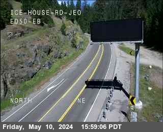


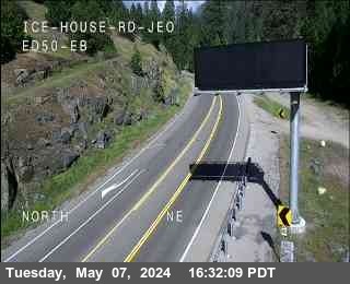
District: 3 Camera ID: 221
Location: Hwy 50 at Ice House
View on Google Maps
Direction: East
Elevation: 3264
Location: Hwy 50 at Ice House
View on Google Maps
Direction: East
Elevation: 3264
US-50 near Twin Bridges in El Dorado County
District: 3 Camera ID: 307
Location: Hwy 50 at Wrights Lake 1
View on Google Maps
Direction: East
Elevation: 5400
Location: Hwy 50 at Wrights Lake 1
View on Google Maps
Direction: East
Elevation: 5400
US-50 near Twin Bridges in El Dorado County


District: 3 Camera ID: 308
Location: Hwy 50 at Wrights Lake 2
View on Google Maps
Direction: East
Elevation: 5400
Location: Hwy 50 at Wrights Lake 2
View on Google Maps
Direction: East
Elevation: 5400
US-50 near Twin Bridges in El Dorado County
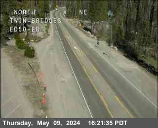


District: 3 Camera ID: 121
Location: Hwy 50 at Twin Bridges
View on Google Maps
Direction: West
Elevation: 6161
Location: Hwy 50 at Twin Bridges
View on Google Maps
Direction: West
Elevation: 6161
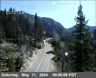
US-50 near Echo Lake in El Dorado County


District: 3 Camera ID: 122
Location: Hwy 50 at Sierra EB
View on Google Maps
Direction: East
Elevation: 6909
Location: Hwy 50 at Sierra EB
View on Google Maps
Direction: East
Elevation: 6909
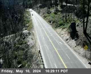
US-50 near South Lake Tahoe in El Dorado County


District: 3 Camera ID: 106
Location: Hwy 50 at Echo Summit
View on Google Maps
Direction: East
Elevation: 7427
Location: Hwy 50 at Echo Summit
View on Google Maps
Direction: East
Elevation: 7427
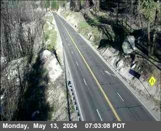
US-50 near Meyers in El Dorado County


District: 3 Camera ID: 36
Location: Hwy 50 at Meyers
View on Google Maps
Direction: West
Elevation: 6345
Location: Hwy 50 at Meyers
View on Google Maps
Direction: West
Elevation: 6345
US-50 near South Lake Tahoe in El Dorado County


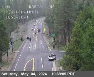
District: 3 Camera ID: 209
Location: Pioneer_Trail_ED50_EB_1
View on Google Maps
Direction:
Elevation: 6351
Location: Pioneer_Trail_ED50_EB_1
View on Google Maps
Direction:
Elevation: 6351
US-50 near South Lake Tahoe in El Dorado County


District: 3 Camera ID: 212
Location: Pioneer_Trail_ED50_EB_2
View on Google Maps
Direction:
Elevation: 6351
Location: Pioneer_Trail_ED50_EB_2
View on Google Maps
Direction:
Elevation: 6351
US-50 near South Lake Tahoe in El Dorado County
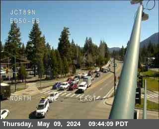


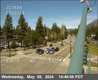
District: 3 Camera ID: 37
Location: Hwy 50 at Hwy 89
View on Google Maps
Direction: East
Elevation: 6286
Location: Hwy 50 at Hwy 89
View on Google Maps
Direction: East
Elevation: 6286
US-50 near South Lake Tahoe in El Dorado County
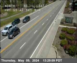


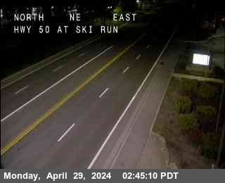
District: 3 Camera ID: 38
Location: Hwy 50 at Ski Run
View on Google Maps
Direction: East
Elevation: 6256
Location: Hwy 50 at Ski Run
View on Google Maps
Direction: East
Elevation: 6256