Caltrans Cameras on SR-24 in District 4 Real Time Traffic Cameras
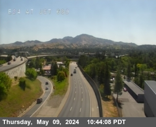
SR-24 near Oakland in Alameda County


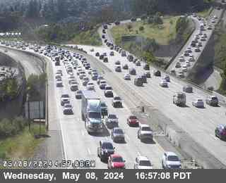
District: 4 Camera ID: 84
Location: TV611 -- SR-24 : AT JCT 13
View on Google Maps
Direction: East
Elevation: 524
Location: TV611 -- SR-24 : AT JCT 13
View on Google Maps
Direction: East
Elevation: 524
SR-24 near Orinda in Contra Costa County
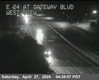
District: 4 Camera ID: 85
Location: TV606 -- SR-24 : Gateway Blvd
View on Google Maps
Direction: East
Elevation: 721
Location: TV606 -- SR-24 : Gateway Blvd
View on Google Maps
Direction: East
Elevation: 721
SR-24 near Orinda in Contra Costa County
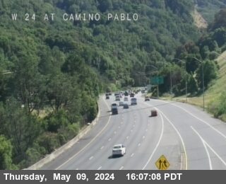


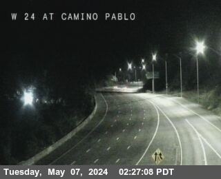
District: 4 Camera ID: 683
Location: TV613 -- SR-24 : AT CAMINO PABLO
View on Google Maps
Direction: West
Elevation: 521
Location: TV613 -- SR-24 : AT CAMINO PABLO
View on Google Maps
Direction: West
Elevation: 521
SR-24 near Orinda in Contra Costa County
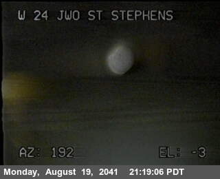


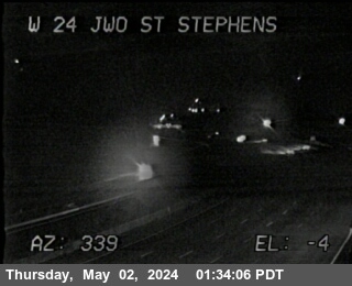
District: 4 Camera ID: 556
Location: TV610 -- SR-24 : JWO ST STEPHENS DR
View on Google Maps
Direction: West
Elevation: 511
Location: TV610 -- SR-24 : JWO ST STEPHENS DR
View on Google Maps
Direction: West
Elevation: 511
SR-24 near Orinda in Contra Costa County
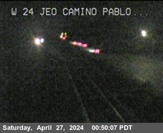
District: 4 Camera ID: 449
Location: TV607 -- SR-24 : W24 JEO Camino Pablo
View on Google Maps
Direction: West
Elevation: 574
Location: TV607 -- SR-24 : W24 JEO Camino Pablo
View on Google Maps
Direction: West
Elevation: 574
SR-24 near Orinda in Contra Costa County
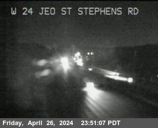
District: 4 Camera ID: 442
Location: TV609 -- SR-24 : W24 JEO St Stephens Drive OC
View on Google Maps
Direction: West
Elevation: 646
Location: TV609 -- SR-24 : W24 JEO St Stephens Drive OC
View on Google Maps
Direction: West
Elevation: 646
SR-24 near Lafayette in Contra Costa County
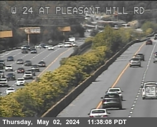
District: 4 Camera ID: 440
Location: TV601 -- SR-24 : W24 at Pleasant Hill Rd
View on Google Maps
Direction: West
Elevation: 308
Location: TV601 -- SR-24 : W24 at Pleasant Hill Rd
View on Google Maps
Direction: West
Elevation: 308
SR-24 near Lafayette in Contra Costa County
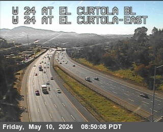


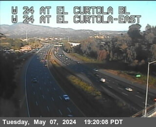
District: 4 Camera ID: 641
Location: TV215 -- SR-24 : AT EL CURTOLA BL
View on Google Maps
Direction: West
Elevation: 364
Location: TV215 -- SR-24 : AT EL CURTOLA BL
View on Google Maps
Direction: West
Elevation: 364
SR-24 near Walnut Creek in Contra Costa County
District: 4 Camera ID: 412
Location: TV212 -- SR-24 : I-680
View on Google Maps
Direction: East
Elevation: 239
Location: TV212 -- SR-24 : I-680
View on Google Maps
Direction: East
Elevation: 239