Caltrans Cameras for District 8 Real Time Traffic Cameras
I-15 near Temecula in Riverside County
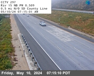


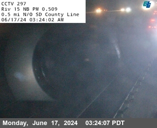
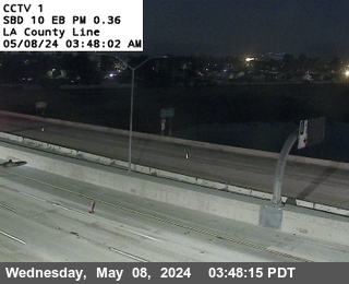
District: 8 Camera ID: 1297
Location: I-15 : (297) 0.5 mi N/O SD County Line
View on Google Maps
Direction: North
Elevation: 1253
Location: I-15 : (297) 0.5 mi N/O SD County Line
View on Google Maps
Direction: North
Elevation: 1253
I-15 near Temecula in Riverside County
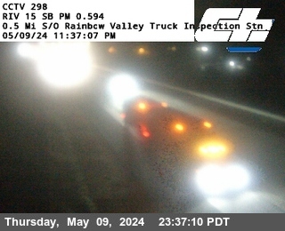


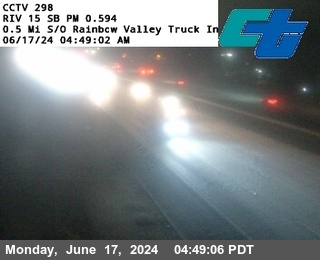
District: 8 Camera ID: 1298
Location: I-15 : (298) 0.5 mi S/O Rainbow Valley Truck Inspection Station
View on Google Maps
Direction: South
Elevation: 1253
Location: I-15 : (298) 0.5 mi S/O Rainbow Valley Truck Inspection Station
View on Google Maps
Direction: South
Elevation: 1253
I-15 near Temecula in Riverside County
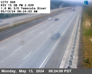


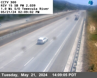
District: 8 Camera ID: 300
Location: I-15 : 1.0 mi S/O Temecula River
View on Google Maps
Direction: South
Elevation: 1217
Location: I-15 : 1.0 mi S/O Temecula River
View on Google Maps
Direction: South
Elevation: 1217
I-15 near Temecula in Riverside County
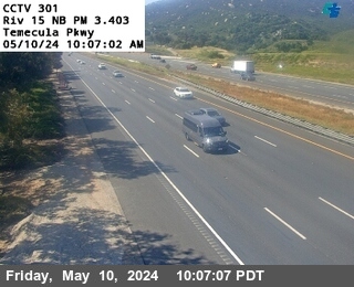


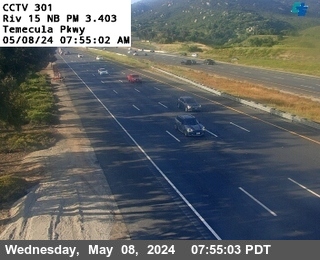
District: 8 Camera ID: 301
Location: I-15 : Temecula Parkway
View on Google Maps
Direction: North
Elevation: 1003
Location: I-15 : Temecula Parkway
View on Google Maps
Direction: North
Elevation: 1003
I-15 near Temecula in Riverside County


District: 8 Camera ID: 302
Location: I-15 : S/O Rancho California Road
View on Google Maps
Direction: South
Elevation: 1026
Location: I-15 : S/O Rancho California Road
View on Google Maps
Direction: South
Elevation: 1026
I-15 near Temecula in Riverside County


District: 8 Camera ID: 303
Location: I-15 : N/O Rancho California Road
View on Google Maps
Direction: North
Elevation: 1013
Location: I-15 : N/O Rancho California Road
View on Google Maps
Direction: North
Elevation: 1013
I-15 near Temecula in Riverside County


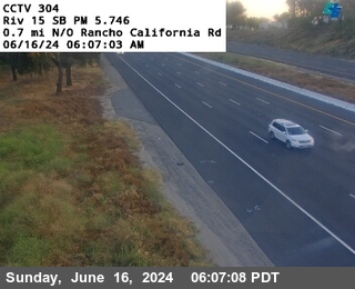
District: 8 Camera ID: 304
Location: I-15 : 0.7 mi N/O Rancho California Rd
View on Google Maps
Direction: South
Elevation: 1020
Location: I-15 : 0.7 mi N/O Rancho California Rd
View on Google Maps
Direction: South
Elevation: 1020
I-15 near Temecula in Riverside County
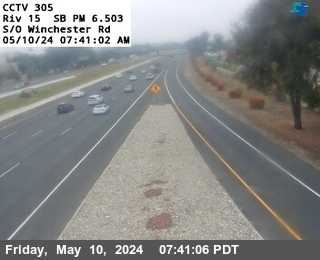


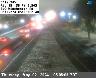
District: 8 Camera ID: 305
Location: I-15 : S/O Winchester Rd
View on Google Maps
Direction: South
Elevation: 1053
Location: I-15 : S/O Winchester Rd
View on Google Maps
Direction: South
Elevation: 1053
I-15 near Temecula in Riverside County
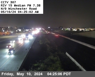


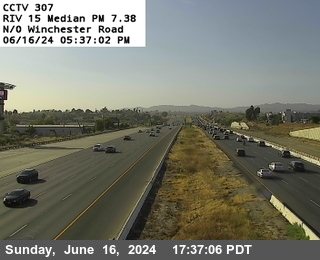
District: 8 Camera ID: 307
Location: I-15 : 0.75 mi N/O Winchester Road
View on Google Maps
Direction: North
Elevation: 1085
Location: I-15 : 0.75 mi N/O Winchester Road
View on Google Maps
Direction: North
Elevation: 1085
I-15 near Murrieta in Riverside County
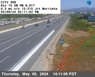


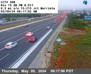
District: 8 Camera ID: 308
Location: I-15 : N/O Warm Springs Creek
View on Google Maps
Direction: South
Elevation: 1099
Location: I-15 : N/O Warm Springs Creek
View on Google Maps
Direction: South
Elevation: 1099
I-215 near Murrieta in Riverside County
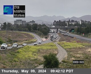


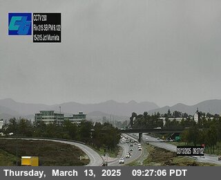
District: 8 Camera ID: 257
Location: I-215 : (230) 15/215 Interchange
View on Google Maps
Direction: South
Elevation: 1122
Location: I-215 : (230) 15/215 Interchange
View on Google Maps
Direction: South
Elevation: 1122
I-15 near Murrieta in Riverside County
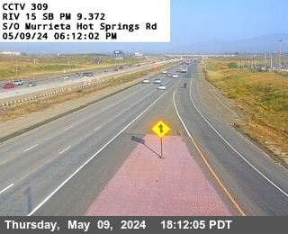


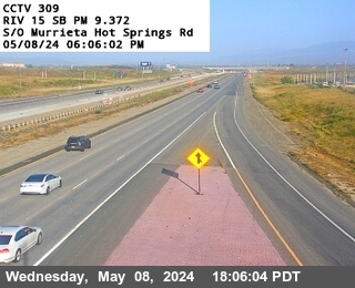
District: 8 Camera ID: 309
Location: I-15 : S/O Murrieta Hot Springs Rd
View on Google Maps
Direction: South
Elevation: 1108
Location: I-15 : S/O Murrieta Hot Springs Rd
View on Google Maps
Direction: South
Elevation: 1108
I-15 near Murrieta in Riverside County
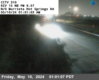


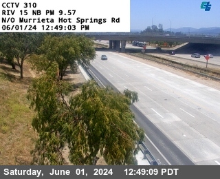
District: 8 Camera ID: 310
Location: I-15 : N/O Murrieta Hot Springs Rd
View on Google Maps
Direction: North
Elevation: 1115
Location: I-15 : N/O Murrieta Hot Springs Rd
View on Google Maps
Direction: North
Elevation: 1115
I-215 near Murrieta in Riverside County
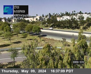


District: 8 Camera ID: 231
Location: I-215 : SB Murrieta Hot Spring Road
View on Google Maps
Direction: South
Elevation: 1167
Location: I-215 : SB Murrieta Hot Spring Road
View on Google Maps
Direction: South
Elevation: 1167
I-15 near Murrieta in Riverside County


District: 8 Camera ID: 326
Location: I-15 : (311) North of California Oaks Road
View on Google Maps
Direction: South
Elevation: 1174
Location: I-15 : (311) North of California Oaks Road
View on Google Maps
Direction: South
Elevation: 1174
I-215 near Murrieta in Riverside County


District: 8 Camera ID: 259
Location: I-215 : (232) NB Los Alamos
View on Google Maps
Direction: North
Elevation: 1250
Location: I-215 : (232) NB Los Alamos
View on Google Maps
Direction: North
Elevation: 1250
I-15 near Murrieta in Riverside County


District: 8 Camera ID: 312
Location: I-15 : 0.3 mi S/O Nutmeg St OC
View on Google Maps
Direction: North
Elevation: 1217
Location: I-15 : 0.3 mi S/O Nutmeg St OC
View on Google Maps
Direction: North
Elevation: 1217
I-15 near Murrieta in Riverside County


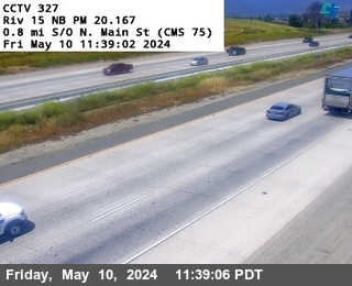
District: 8 Camera ID: 327
Location: I-15 : (313) North of Nutmeg Street Overcross
View on Google Maps
Direction: South
Elevation: 1223
Location: I-15 : (313) North of Nutmeg Street Overcross
View on Google Maps
Direction: South
Elevation: 1223
I-15 near Murrieta in Riverside County


District: 8 Camera ID: 328
Location: I-15 : (314) 0.6 Miles North of Nutmeg
View on Google Maps
Direction: North
Elevation: 1286
Location: I-15 : (314) 0.6 Miles North of Nutmeg
View on Google Maps
Direction: North
Elevation: 1286
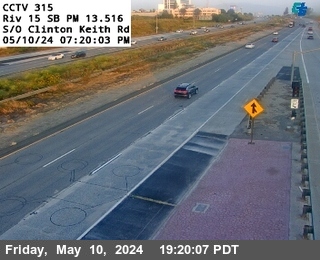
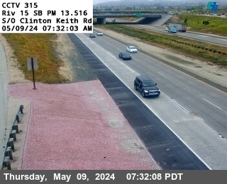
I-15 near Murrieta in Riverside County


District: 8 Camera ID: 330
Location: I-15 : (316) North Clinton Keith
View on Google Maps
Direction: South
Elevation: 1302
Location: I-15 : (316) North Clinton Keith
View on Google Maps
Direction: South
Elevation: 1302
I-15 near Wildomar in Riverside County


District: 8 Camera ID: 331
Location: I-15 : (317) 0.7 miles North of Clinton Keith
View on Google Maps
Direction: North
Elevation: 1312
Location: I-15 : (317) 0.7 miles North of Clinton Keith
View on Google Maps
Direction: North
Elevation: 1312
I-215 near Murrieta in Riverside County


District: 8 Camera ID: 261
Location: I-215 : (234) Clinton Keith Road
View on Google Maps
Direction: North
Elevation: 1515
Location: I-215 : (234) Clinton Keith Road
View on Google Maps
Direction: North
Elevation: 1515
I-15 near Wildomar in Riverside County


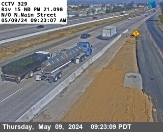
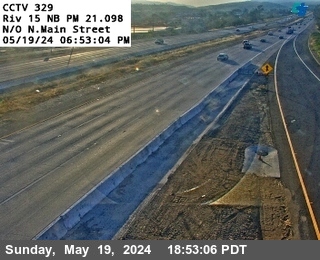
District: 8 Camera ID: 329
Location: I-15 : (315) South Clinton Keith
View on Google Maps
Direction: North
Elevation: 1335
Location: I-15 : (315) South Clinton Keith
View on Google Maps
Direction: North
Elevation: 1335
I-10 near Blythe in Riverside County
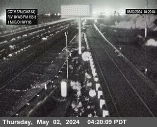


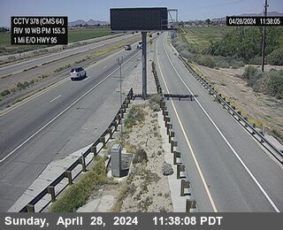
District: 8 Camera ID: 378
Location: I-10 : Next to CMS in Blythe
View on Google Maps
Direction: West
Elevation: 269
Location: I-10 : Next to CMS in Blythe
View on Google Maps
Direction: West
Elevation: 269
I-15 near Wildomar in Riverside County
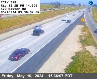


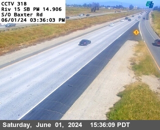
District: 8 Camera ID: 332
Location: I-15 : (318) South of Baxter Road
View on Google Maps
Direction: South
Elevation: 1361
Location: I-15 : (318) South of Baxter Road
View on Google Maps
Direction: South
Elevation: 1361
I-215 near Murrieta in Riverside County
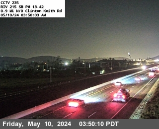


District: 8 Camera ID: 262
Location: I-215 : (235) 0.9 Mi N/O Clinton Keith Road
View on Google Maps
Direction: South
Elevation: 1604
Location: I-215 : (235) 0.9 Mi N/O Clinton Keith Road
View on Google Maps
Direction: South
Elevation: 1604
I-15 near Wildomar in Riverside County
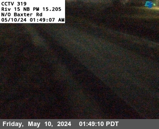


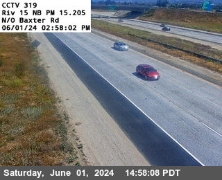
District: 8 Camera ID: 333
Location: I-15 : (319) North of Baxter Road
View on Google Maps
Direction: North
Elevation: 1394
Location: I-15 : (319) North of Baxter Road
View on Google Maps
Direction: North
Elevation: 1394
I-15 near Wildomar in Riverside County


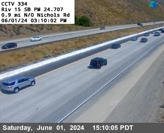
District: 8 Camera ID: 334
Location: I-15 : (320) South of Bundy Canyon Road
View on Google Maps
Direction: South
Elevation: 1400
Location: I-15 : (320) South of Bundy Canyon Road
View on Google Maps
Direction: South
Elevation: 1400
I-15 near Wildomar in Riverside County
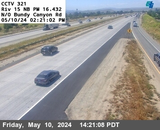


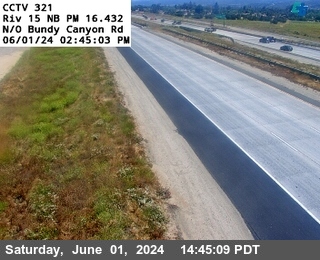
District: 8 Camera ID: 335
Location: I-15 : (321) North of Bundy Canyon Road
View on Google Maps
Direction: North
Elevation: 1423
Location: I-15 : (321) North of Bundy Canyon Road
View on Google Maps
Direction: North
Elevation: 1423
I-15 near Wildomar in Riverside County
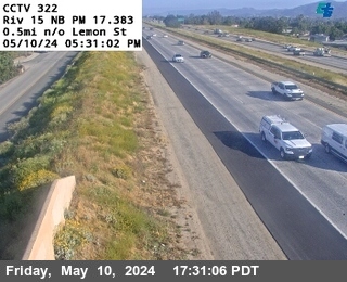


District: 8 Camera ID: 336
Location: I-15 : (322) North of Lemon Street
View on Google Maps
Direction: North
Elevation: 1417
Location: I-15 : (322) North of Lemon Street
View on Google Maps
Direction: North
Elevation: 1417
I-215 near Menifee in Riverside County
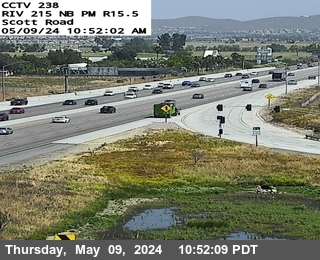


District: 8 Camera ID: 265
Location: I-215 : (238) Scott Road Offramp
View on Google Maps
Direction: North
Elevation: 1525
Location: I-215 : (238) Scott Road Offramp
View on Google Maps
Direction: North
Elevation: 1525
I-215 near Menifee in Riverside County
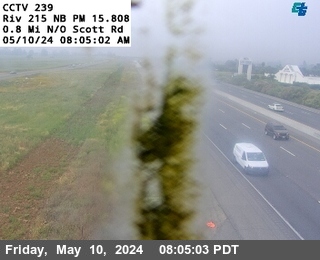


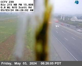
District: 8 Camera ID: 266
Location: I-215 : (239) North of Scott Road
View on Google Maps
Direction: North
Elevation: 1505
Location: I-215 : (239) North of Scott Road
View on Google Maps
Direction: North
Elevation: 1505
I-15 near Lake Elsinore in Riverside County
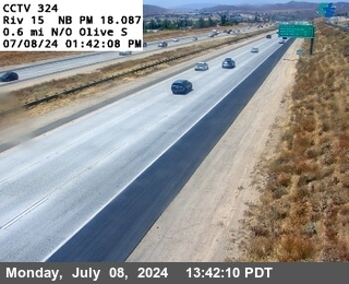


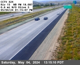
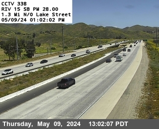
District: 8 Camera ID: 338
Location: I-15 : (324) North of Olive
View on Google Maps
Direction: North
Elevation: 1423
Location: I-15 : (324) North of Olive
View on Google Maps
Direction: North
Elevation: 1423
I-15 near Wildomar in Riverside County
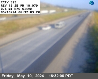


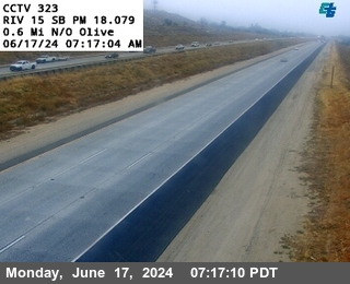
District: 8 Camera ID: 337
Location: I-15 : (323) North of Olive
View on Google Maps
Direction: South
Elevation: 1423
Location: I-15 : (323) North of Olive
View on Google Maps
Direction: South
Elevation: 1423
I-10 near Mecca in Riverside County
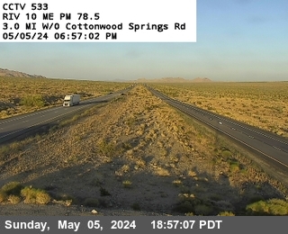


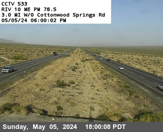
District: 8 Camera ID: 533
Location: I-10 : West of Cottonwood Springs Road
View on Google Maps
Direction: Median
Elevation: 1433
Location: I-10 : West of Cottonwood Springs Road
View on Google Maps
Direction: Median
Elevation: 1433
I-15 near Lake Elsinore in Riverside County
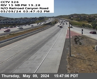


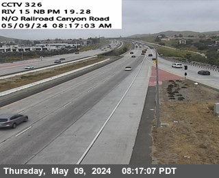
District: 8 Camera ID: 340
Location: I-15 : (326) North of Railroad Canyon Road
View on Google Maps
Direction: North
Elevation: 1318
Location: I-15 : (326) North of Railroad Canyon Road
View on Google Maps
Direction: North
Elevation: 1318
I-215 near Menifee in Riverside County
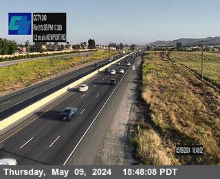


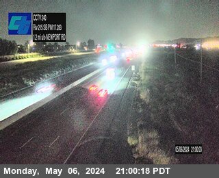
District: 8 Camera ID: 267
Location: I-215 : (240) 1.2 Miles South of Newport Road
View on Google Maps
Direction: South
Elevation: 1456
Location: I-215 : (240) 1.2 Miles South of Newport Road
View on Google Maps
Direction: South
Elevation: 1456
I-10 near Not Reported in Riverside County
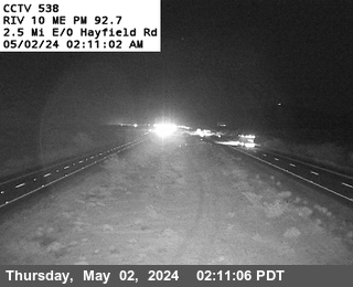


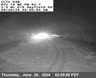
District: 8 Camera ID: 538
Location: I-10 : East of Hayfield Road
View on Google Maps
Direction: Median
Elevation: 1410
Location: I-10 : East of Hayfield Road
View on Google Maps
Direction: Median
Elevation: 1410
I-15 near Lake Elsinore in Riverside County


District: 8 Camera ID: 343
Location: I-15 : (327) 0.8 Miles South of North Main Street
View on Google Maps
Direction: North
Elevation: 1417
Location: I-15 : (327) 0.8 Miles South of North Main Street
View on Google Maps
Direction: North
Elevation: 1417
I-15 near Lake Elsinore in Riverside County


District: 8 Camera ID: 342
Location: I-15 : (329) North of North Main Street
View on Google Maps
Direction: North
Elevation: 1354
Location: I-15 : (329) North of North Main Street
View on Google Maps
Direction: North
Elevation: 1354
I-10 near Cactus City in Riverside County
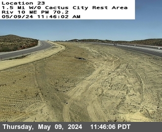


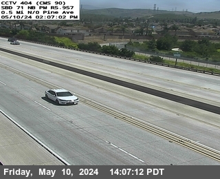
District: 8 Camera ID: 1372
Location: I-10 : (530) 1.5 w/o Cactus City Rest Area
View on Google Maps
Direction: West
Elevation: 1585
Location: I-10 : (530) 1.5 w/o Cactus City Rest Area
View on Google Maps
Direction: West
Elevation: 1585
I-15 near Lake Elsinore in Riverside County
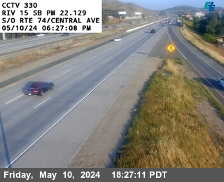


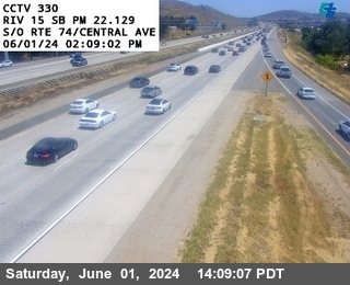
District: 8 Camera ID: 344
Location: I-15 : (330) South of SR-74 / Central Avenue
View on Google Maps
Direction: South
Elevation: 1299
Location: I-15 : (330) South of SR-74 / Central Avenue
View on Google Maps
Direction: South
Elevation: 1299
I-15 near Lake Elsinore in Riverside County


District: 8 Camera ID: 345
Location: I-15 : (331) North of SR-74 / Central Avenue
View on Google Maps
Direction: North
Elevation: 1305
Location: I-15 : (331) North of SR-74 / Central Avenue
View on Google Maps
Direction: North
Elevation: 1305
I-10 near Desert Center in Riverside County
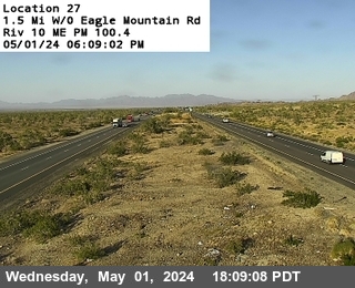


District: 8 Camera ID: 541
Location: I-10 : West of Eagle Mountain Rd
View on Google Maps
Direction: West
Elevation: 1256
Location: I-10 : West of Eagle Mountain Rd
View on Google Maps
Direction: West
Elevation: 1256
I-215 near Sun City in Riverside County


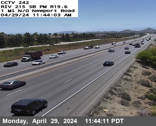
District: 8 Camera ID: 242
Location: I-215: 1 Mile North of Newport Road
View on Google Maps
Direction: South
Elevation: 1476
Location: I-215: 1 Mile North of Newport Road
View on Google Maps
Direction: South
Elevation: 1476
I-10 near Indio in Riverside County
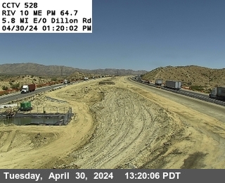


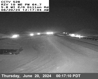
District: 8 Camera ID: 528
Location: I-10 : Smokey Gulsh
View on Google Maps
Direction: Median
Elevation: 685
Location: I-10 : Smokey Gulsh
View on Google Maps
Direction: Median
Elevation: 685
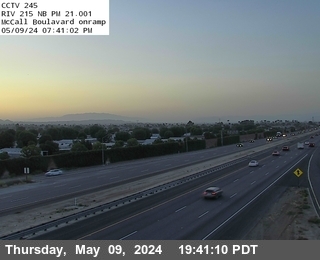
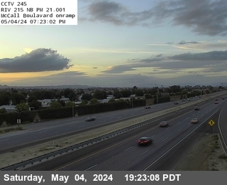
I-215 near Sun City in Riverside County
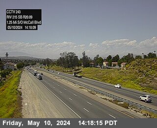


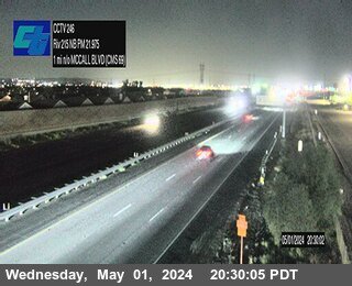
District: 8 Camera ID: 270
Location: I-215 : (243) 1.25 Miles South of McCall Boulevard
View on Google Maps
Direction: South
Elevation: 1486
Location: I-215 : (243) 1.25 Miles South of McCall Boulevard
View on Google Maps
Direction: South
Elevation: 1486
I-15 near Lake Elsinore in Riverside County
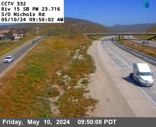


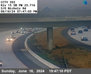
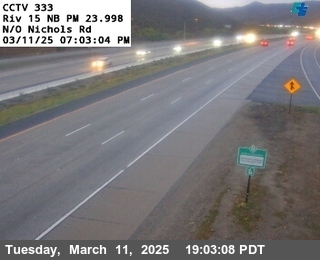
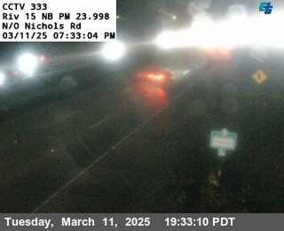
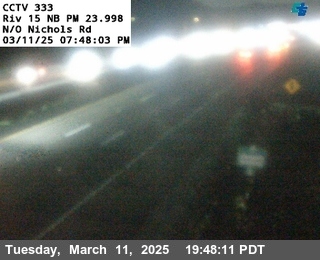
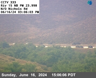
District: 8 Camera ID: 346
Location: I-15 : (332) South of Nichols Road
View on Google Maps
Direction: South
Elevation: 1282
Location: I-15 : (332) South of Nichols Road
View on Google Maps
Direction: South
Elevation: 1282
I-15 near Lake Elsinore in Riverside County
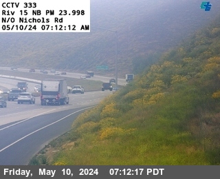


District: 8 Camera ID: 347
Location: I-15 : (333) North of Nichols Road
View on Google Maps
Direction: North
Elevation: 1299
Location: I-15 : (333) North of Nichols Road
View on Google Maps
Direction: North
Elevation: 1299
I-215 near Sun City in Riverside County
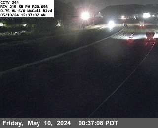


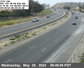
District: 8 Camera ID: 271
Location: I-215 : (244) 0.75 Miles South of McCall Boulevard
View on Google Maps
Direction: South
Elevation: 1437
Location: I-215 : (244) 0.75 Miles South of McCall Boulevard
View on Google Maps
Direction: South
Elevation: 1437
I-10 near Coachella in Riverside County


District: 8 Camera ID: 377
Location: I-10 : East of Dillion Road
View on Google Maps
Direction: West
Elevation: 0
Location: I-10 : East of Dillion Road
View on Google Maps
Direction: West
Elevation: 0
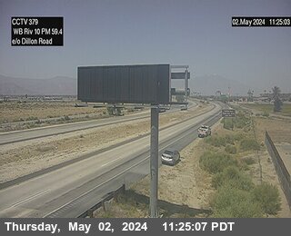
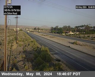
I-10 near Coachella in Riverside County
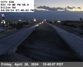


District: 8 Camera ID: 526
Location: I-10 : Dillon Road
View on Google Maps
Direction: Median
Elevation: -9
Location: I-10 : Dillon Road
View on Google Maps
Direction: Median
Elevation: -9
I-215 near Menifee in Riverside County


District: 8 Camera ID: 272
Location: I-215 : (245) North of McCall Boulevard
View on Google Maps
Direction: North
Elevation: 1446
Location: I-215 : (245) North of McCall Boulevard
View on Google Maps
Direction: North
Elevation: 1446
I-15 near Lake Elsinore in Riverside County


District: 8 Camera ID: 348
Location: I-15 : (334) 0.9 Miles North of Nichols Road
View on Google Maps
Direction: South
Elevation: 1263
Location: I-15 : (334) 0.9 Miles North of Nichols Road
View on Google Maps
Direction: South
Elevation: 1263
I-10 near Indio in Riverside County
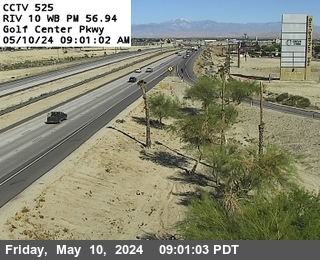


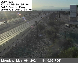
District: 8 Camera ID: 1369
Location: I-10 : (525) Golf Center Pkwy
View on Google Maps
Direction: West
Elevation: -16.4
Location: I-10 : (525) Golf Center Pkwy
View on Google Maps
Direction: West
Elevation: -16.4
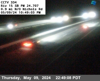
I-15 near Lake Elsinore in Riverside County
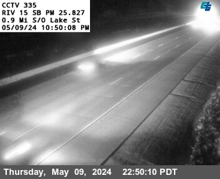


District: 8 Camera ID: 349
Location: I-15 : (335) 0.9 Miles South of Lake Street
View on Google Maps
Direction: South
Elevation: 1256
Location: I-15 : (335) 0.9 Miles South of Lake Street
View on Google Maps
Direction: South
Elevation: 1256
I-15 near Lake Elsinore in Riverside County


District: 8 Camera ID: 351
Location: I-15 : (336) South of Lake Street
View on Google Maps
Direction: South
Elevation: 1243
Location: I-15 : (336) South of Lake Street
View on Google Maps
Direction: South
Elevation: 1243
I-15 near Corona in Riverside County


District: 8 Camera ID: 352
Location: I-15 : (337) North of Lake Street
View on Google Maps
Direction: North
Elevation: 1302
Location: I-15 : (337) North of Lake Street
View on Google Maps
Direction: North
Elevation: 1302
I-215 near Sun City in Riverside County


District: 8 Camera ID: 273
Location: I-215 : (246) 1 Mile North of McCall Boulevard
View on Google Maps
Direction: North
Elevation: 1437
Location: I-215 : (246) 1 Mile North of McCall Boulevard
View on Google Maps
Direction: North
Elevation: 1437
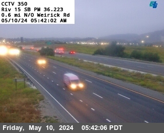
I-15 near Corona in Riverside County


District: 8 Camera ID: 350
Location: I-15 : (338) 1.3 Miles North of Lake Street
View on Google Maps
Direction: South
Elevation: 1213
Location: I-15 : (338) 1.3 Miles North of Lake Street
View on Google Maps
Direction: South
Elevation: 1213
I-15 near Corona in Riverside County
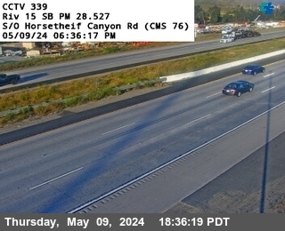


District: 8 Camera ID: 353
Location: I-15 : (339) South of Horsethief Canyon Road
View on Google Maps
Direction: South
Elevation: 1250
Location: I-15 : (339) South of Horsethief Canyon Road
View on Google Maps
Direction: South
Elevation: 1250
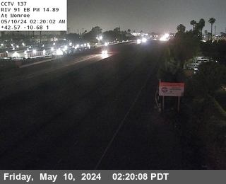
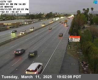
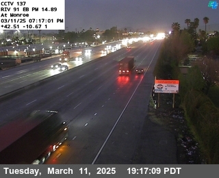
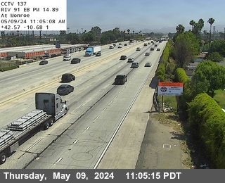
I-10 near Indio in Riverside County
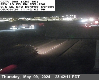


District: 8 Camera ID: 1383
Location: I-10 : (388) 0.5 Mi E/O Monroe St
View on Google Maps
Direction: East
Elevation: -3.3
Location: I-10 : (388) 0.5 Mi E/O Monroe St
View on Google Maps
Direction: East
Elevation: -3.3
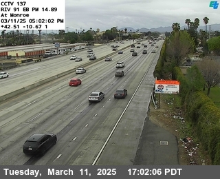
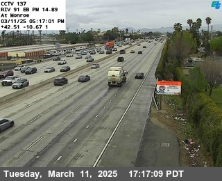
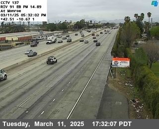
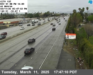
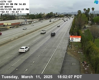
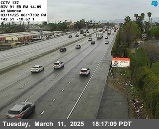
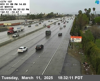
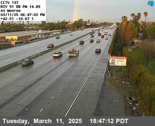
I-10 near Indio in Riverside County


District: 8 Camera ID: 524
Location: I-10 : Monroe Street
View on Google Maps
Direction: East
Elevation: 6
Location: I-10 : Monroe Street
View on Google Maps
Direction: East
Elevation: 6
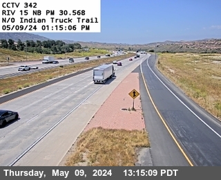
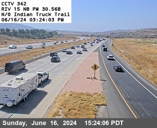
I-15 near Corona in Riverside County


District: 8 Camera ID: 354
Location: I-15 : (340) 0.7 Miles South of Indian Truck Trail Road
View on Google Maps
Direction: South
Elevation: 1210
Location: I-15 : (340) 0.7 Miles South of Indian Truck Trail Road
View on Google Maps
Direction: South
Elevation: 1210
I-15 near Corona in Riverside County


District: 8 Camera ID: 356
Location: I-15 : (341) South of Indian Truck Trail Road
View on Google Maps
Direction: South
Elevation: 1181
Location: I-15 : (341) South of Indian Truck Trail Road
View on Google Maps
Direction: South
Elevation: 1181
I-10 near Indio in Riverside County


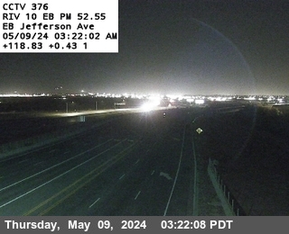
District: 8 Camera ID: 376
Location: I-10 : East of Jefferson
View on Google Maps
Direction: West
Elevation: 59
Location: I-10 : East of Jefferson
View on Google Maps
Direction: West
Elevation: 59
I-15 near Corona in Riverside County


District: 8 Camera ID: 357
Location: I-15 : (342) North of Indian Truck Trail Road
View on Google Maps
Direction: North
Elevation: 1171
Location: I-15 : (342) North of Indian Truck Trail Road
View on Google Maps
Direction: North
Elevation: 1171
I-215 near Sun City in Riverside County


District: 8 Camera ID: 276
Location: I-215 : (249) Loop Onramp SR-74 East
View on Google Maps
Direction: South
Elevation: 1430
Location: I-215 : (249) Loop Onramp SR-74 East
View on Google Maps
Direction: South
Elevation: 1430
I-15 near Corona in Riverside County


District: 8 Camera ID: 355
Location: I-15 : (343) 1 Mile North of Indian Truck Trail Road
View on Google Maps
Direction: South
Elevation: 1079
Location: I-15 : (343) 1 Mile North of Indian Truck Trail Road
View on Google Maps
Direction: South
Elevation: 1079
I-10 near Palm Desert in Riverside County


District: 8 Camera ID: 522
Location: I-10 : Washington Street
View on Google Maps
Direction: East
Elevation: 108
Location: I-10 : Washington Street
View on Google Maps
Direction: East
Elevation: 108
I-215 near Sun City in Riverside County


District: 8 Camera ID: 277
Location: I-215 : (250) 0.7 Miles North of SR-74 East
View on Google Maps
Direction: South
Elevation: 1417
Location: I-215 : (250) 0.7 Miles North of SR-74 East
View on Google Maps
Direction: South
Elevation: 1417
I-15 near Corona in Riverside County


District: 8 Camera ID: 358
Location: I-15 : (344) 0.9 Miles South of Temescal Canyon Road
View on Google Maps
Direction: South
Elevation: 1085
Location: I-15 : (344) 0.9 Miles South of Temescal Canyon Road
View on Google Maps
Direction: South
Elevation: 1085
I-215 near Sun City in Riverside County


District: 8 Camera ID: 278
Location: I-215 : (251) Southbound San Jacinto
View on Google Maps
Direction: South
Elevation: 1420
Location: I-215 : (251) Southbound San Jacinto
View on Google Maps
Direction: South
Elevation: 1420
I-15 near Corona in Riverside County


District: 8 Camera ID: 360
Location: I-15 : (345) South of Temescal Canyon Road
View on Google Maps
Direction: South
Elevation: 1033
Location: I-15 : (345) South of Temescal Canyon Road
View on Google Maps
Direction: South
Elevation: 1033
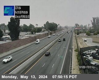
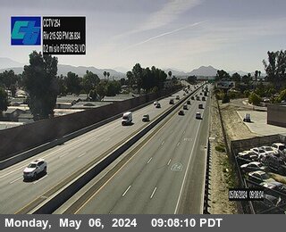
I-215 near Perris in Riverside County


District: 8 Camera ID: 279
Location: I-215 : (252) At San Jacinto
View on Google Maps
Direction: South
Elevation: 1410
Location: I-215 : (252) At San Jacinto
View on Google Maps
Direction: South
Elevation: 1410
I-15 near Corona in Riverside County
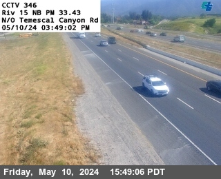


District: 8 Camera ID: 359
Location: I-15 : (346) North of Temescal Canyon Road
View on Google Maps
Direction: North
Elevation: 997
Location: I-15 : (346) North of Temescal Canyon Road
View on Google Maps
Direction: North
Elevation: 997
I-215 near Perris in Riverside County
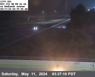


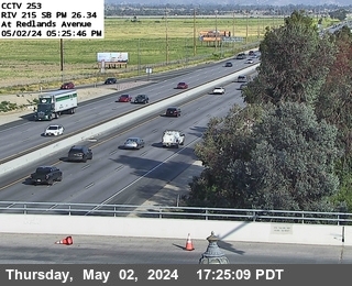
District: 8 Camera ID: 280
Location: I-215 : (253) Redlands Avenue
View on Google Maps
Direction: South
Elevation: 1433
Location: I-215 : (253) Redlands Avenue
View on Google Maps
Direction: South
Elevation: 1433
I-215 near Perris in Riverside County


District: 8 Camera ID: 281
Location: I-215 : (254) Perris Boulevard
View on Google Maps
Direction: North
Elevation: 1437
Location: I-215 : (254) Perris Boulevard
View on Google Maps
Direction: North
Elevation: 1437
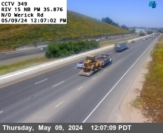
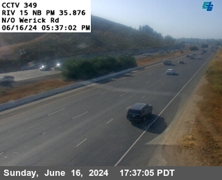
I-15 near Corona in Riverside County


District: 8 Camera ID: 361
Location: I-15 : (347) 1.2 Miles South of Werick Road
View on Google Maps
Direction: South
Elevation: 944
Location: I-15 : (347) 1.2 Miles South of Werick Road
View on Google Maps
Direction: South
Elevation: 944
I-215 near Perris in Riverside County
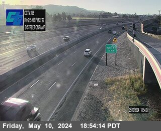


District: 8 Camera ID: 282
Location: I-215 : (255) D Street
View on Google Maps
Direction: North
Elevation: 1469
Location: I-215 : (255) D Street
View on Google Maps
Direction: North
Elevation: 1469
I-10 near Thousand Palms in Riverside County
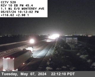


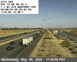
District: 8 Camera ID: 520
Location: I-10 : Monterrey Avenue
View on Google Maps
Direction: East
Elevation: 190
Location: I-10 : Monterrey Avenue
View on Google Maps
Direction: East
Elevation: 190
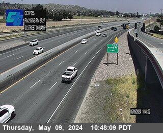
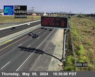
I-215 near Perris in Riverside County
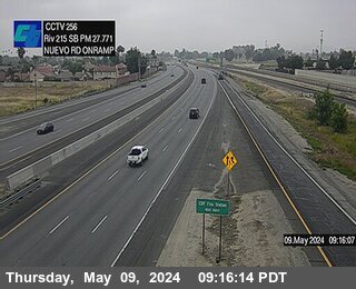


District: 8 Camera ID: 256
Location: I-215 : Nueveo Road Onramp
View on Google Maps
Direction: South
Elevation: 1469
Location: I-215 : Nueveo Road Onramp
View on Google Maps
Direction: South
Elevation: 1469
I-215 near Perris in Riverside County


District: 8 Camera ID: 284
Location: I-215 : (257) North of Nuevo Road
View on Google Maps
Direction: North
Elevation: 1453
Location: I-215 : (257) North of Nuevo Road
View on Google Maps
Direction: North
Elevation: 1453
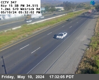
I-15 near Corona in Riverside County


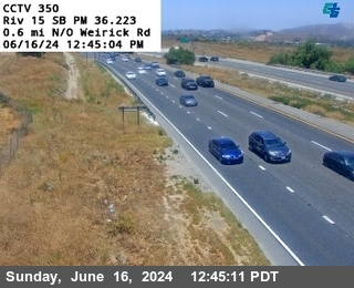
District: 8 Camera ID: 365
Location: I-15 : (348) South of Werick Road
View on Google Maps
Direction: South
Elevation: 908
Location: I-15 : (348) South of Werick Road
View on Google Maps
Direction: South
Elevation: 908
I-215 near Perris in Riverside County


District: 8 Camera ID: 285
Location: I-215 : (258) Southbound North of Nuevo Road
View on Google Maps
Direction: South
Elevation: 1463
Location: I-215 : (258) Southbound North of Nuevo Road
View on Google Maps
Direction: South
Elevation: 1463
I-15 near Corona in Riverside County


District: 8 Camera ID: 363
Location: I-15 : (349) North of Werick Road
View on Google Maps
Direction: North
Elevation: 905
Location: I-15 : (349) North of Werick Road
View on Google Maps
Direction: North
Elevation: 905
I-15 near Corona in Riverside County


District: 8 Camera ID: 362
Location: I-15 : (350) 0.6 Miles North of Werick Road
View on Google Maps
Direction: South
Elevation: 918
Location: I-15 : (350) 0.6 Miles North of Werick Road
View on Google Maps
Direction: South
Elevation: 918
I-15 near Corona in Riverside County
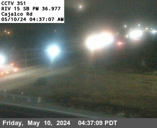


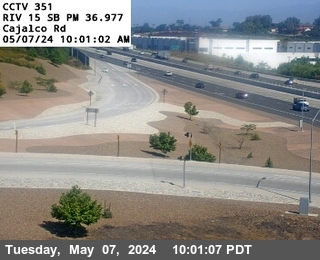
District: 8 Camera ID: 364
Location: I-15 : (351) Cajalco Road
View on Google Maps
Direction: South
Elevation: 895
Location: I-15 : (351) Cajalco Road
View on Google Maps
Direction: South
Elevation: 895
I-215 near Perris in Riverside County
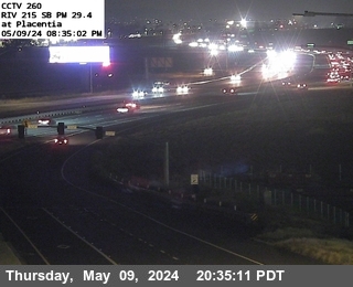


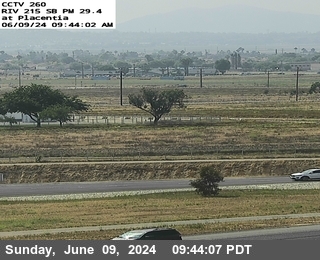
District: 8 Camera ID: 287
Location: I-215 : (260) Placentia Avenue
View on Google Maps
Direction: South
Elevation: 1499
Location: I-215 : (260) Placentia Avenue
View on Google Maps
Direction: South
Elevation: 1499
I-15 near Corona in Riverside County
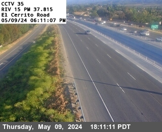


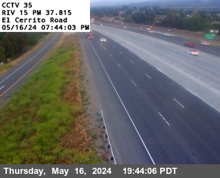
District: 8 Camera ID: 35
Location: I-15 : El Cerrito Road
View on Google Maps
Direction: North
Elevation: 938
Location: I-15 : El Cerrito Road
View on Google Maps
Direction: North
Elevation: 938
I-215 near Perris in Riverside County
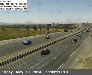


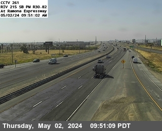
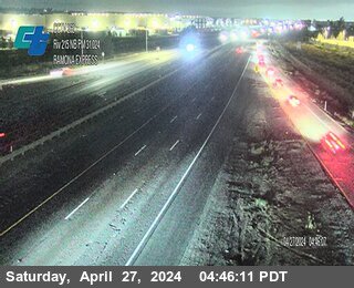
District: 8 Camera ID: 288
Location: I-215 : (261) Ramona Expressway
View on Google Maps
Direction: South
Elevation: 1509
Location: I-215 : (261) Ramona Expressway
View on Google Maps
Direction: South
Elevation: 1509
I-15 near Corona in Riverside County
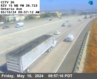


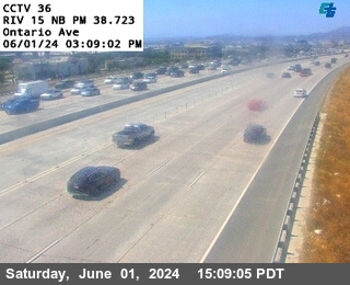
District: 8 Camera ID: 36
Location: I-15 : Ontario Avenue
View on Google Maps
Direction: North
Elevation: 912
Location: I-15 : Ontario Avenue
View on Google Maps
Direction: North
Elevation: 912
I-215 near Perris in Riverside County


District: 8 Camera ID: 289
Location: I-215 : (262) Ramona Expressway
View on Google Maps
Direction: North
Elevation: 1499
Location: I-215 : (262) Ramona Expressway
View on Google Maps
Direction: North
Elevation: 1499
I-10 near Desert Hot Springs in Riverside County
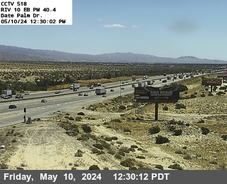


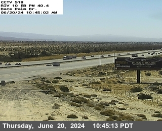
District: 8 Camera ID: 517
Location: I-10 : (518) Date Palm Drive
View on Google Maps
Direction: East
Elevation: 469
Location: I-10 : (518) Date Palm Drive
View on Google Maps
Direction: East
Elevation: 469
I-10 near Cathedral City in Riverside County
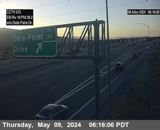


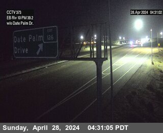
District: 8 Camera ID: 373
Location: I-10 : West of Date Palm Drive
View on Google Maps
Direction: East
Elevation: 406
Location: I-10 : West of Date Palm Drive
View on Google Maps
Direction: East
Elevation: 406
I-15 near Corona in Riverside County
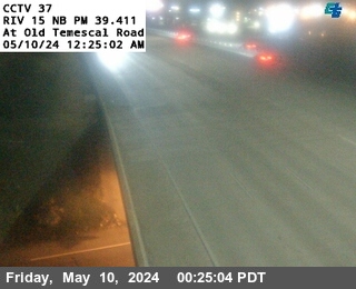


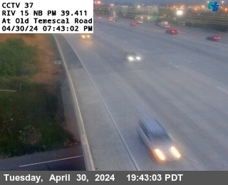
District: 8 Camera ID: 37
Location: I-15 : Old Temescal Road
View on Google Maps
Direction: North
Elevation: 826
Location: I-15 : Old Temescal Road
View on Google Maps
Direction: North
Elevation: 826
I-215 near Perris in Riverside County
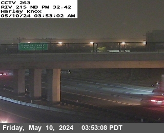


District: 8 Camera ID: 290
Location: I-215 : (263) Harley Knox
View on Google Maps
Direction: North
Elevation: 1499
Location: I-215 : (263) Harley Knox
View on Google Maps
Direction: North
Elevation: 1499
I-15 near Corona in Riverside County


District: 8 Camera ID: 38
Location: I-15 : Magnolia Avenue
View on Google Maps
Direction: North
Elevation: 669
Location: I-15 : Magnolia Avenue
View on Google Maps
Direction: North
Elevation: 669
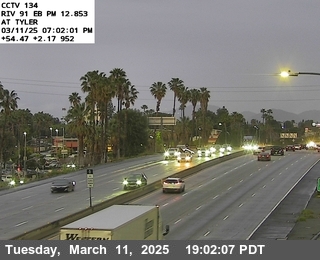
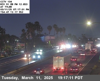
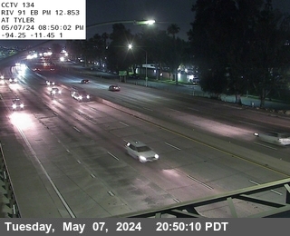
SR-91 near Corona in Riverside County

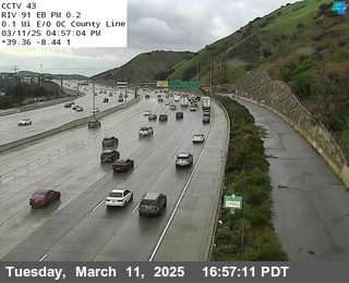
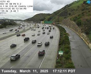

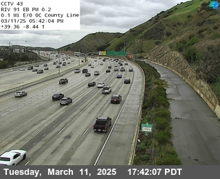

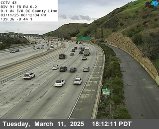

District: 8 Camera ID: 43
Location: SR-91 : 0.1 Miles East of County Line
View on Google Maps
Direction: East
Elevation: 465
Location: SR-91 : 0.1 Miles East of County Line
View on Google Maps
Direction: East
Elevation: 465
SR-91 near Corona in Riverside County
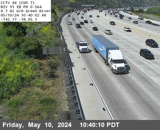
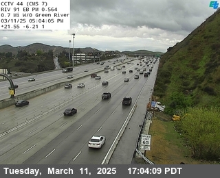
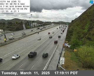
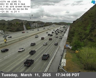
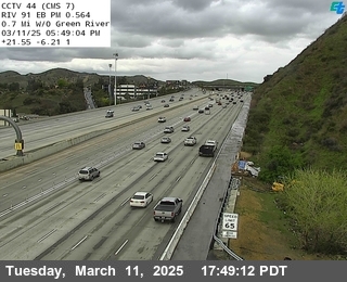
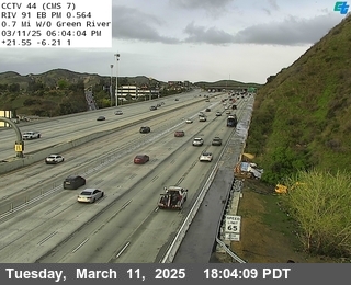
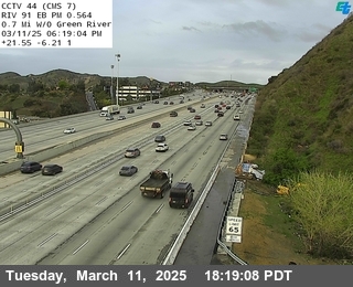
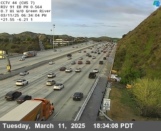
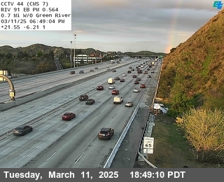
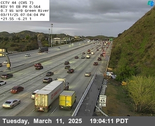
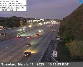
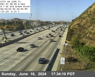
District: 8 Camera ID: 44
Location: SR-91 : 0.7 Miles West of Green River
View on Google Maps
Direction: North
Elevation: 508
Location: SR-91 : 0.7 Miles West of Green River
View on Google Maps
Direction: North
Elevation: 508
I-215 near March Air Reserve Base in Riverside County
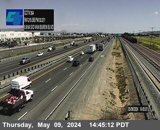


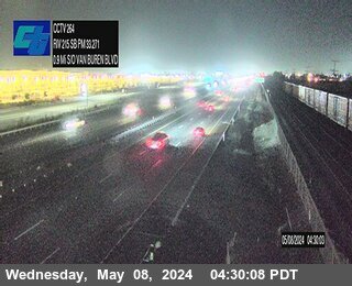
District: 8 Camera ID: 291
Location: I-215 : (264) 0.9 Miles South of Van Buren Boulevard
View on Google Maps
Direction: South
Elevation: 1522
Location: I-215 : (264) 0.9 Miles South of Van Buren Boulevard
View on Google Maps
Direction: South
Elevation: 1522
SR-91 near Corona in Riverside County

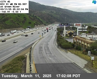
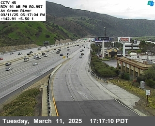
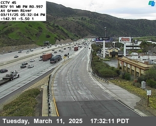
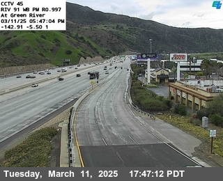
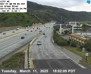
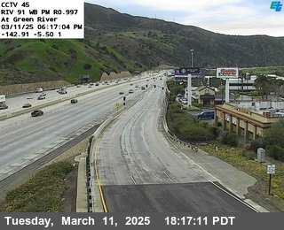
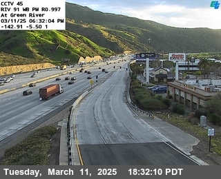
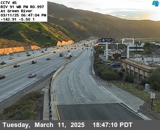
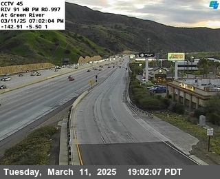
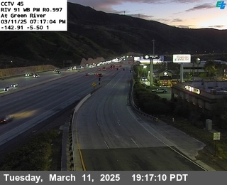

District: 8 Camera ID: 45
Location: SR-91 : Green River
View on Google Maps
Direction: South
Elevation: 554
Location: SR-91 : Green River
View on Google Maps
Direction: South
Elevation: 554
SR-91 near Corona in Riverside County
District: 8 Camera ID: 32
Location: SR-91 : 0.3 Miles East of Main Street
View on Google Maps
Direction: North
Elevation: 633
Location: SR-91 : 0.3 Miles East of Main Street
View on Google Maps
Direction: North
Elevation: 633
SR-91 near Corona in Riverside County
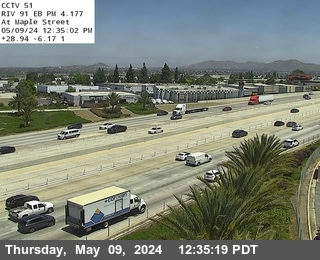
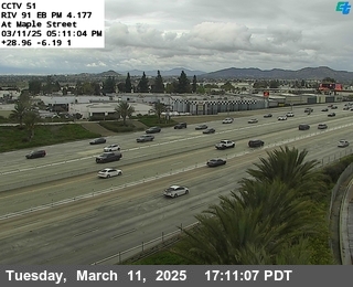
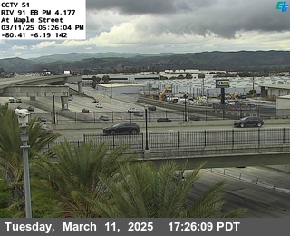
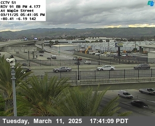

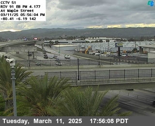
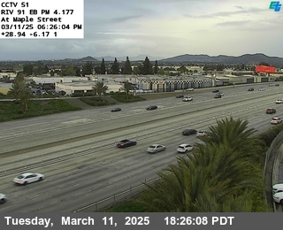

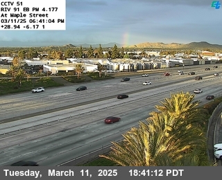
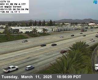
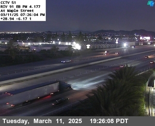

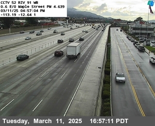
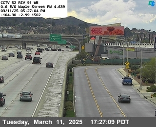
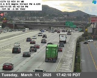
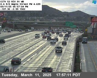
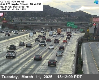
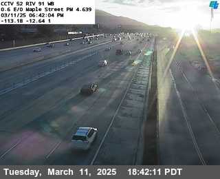
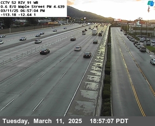
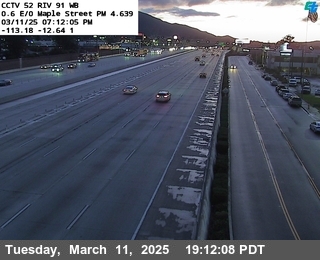
District: 8 Camera ID: 51
Location: SR-91 : Maple Street
View on Google Maps
Direction: North
Elevation: 679
Location: SR-91 : Maple Street
View on Google Maps
Direction: North
Elevation: 679
I-15 near Corona in Riverside County
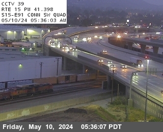


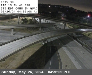
District: 8 Camera ID: 39
Location: I-15 : SR-91 Connector SW Quad
View on Google Maps
Direction: South
Elevation: 643
Location: I-15 : SR-91 Connector SW Quad
View on Google Maps
Direction: South
Elevation: 643
SR-91 near Corona in Riverside County
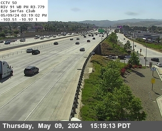
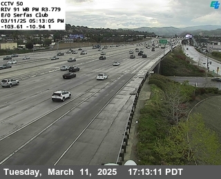
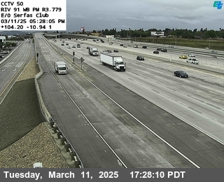

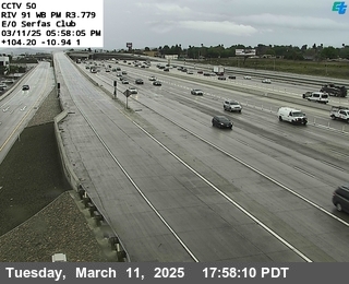
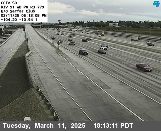

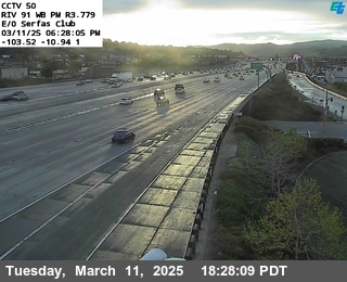

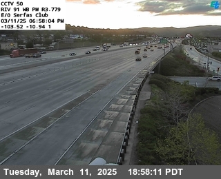
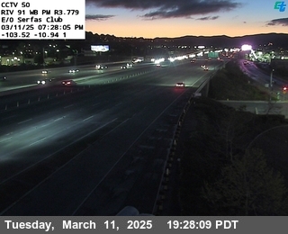

District: 8 Camera ID: 50
Location: SR-91 : East of Serfas Club
View on Google Maps
Direction: South
Elevation: 652
Location: SR-91 : East of Serfas Club
View on Google Maps
Direction: South
Elevation: 652
SR-91 near Corona in Riverside County
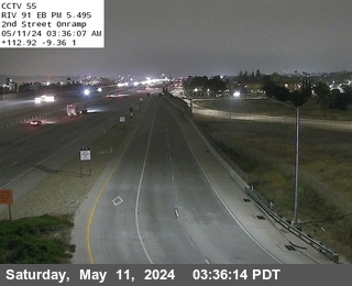
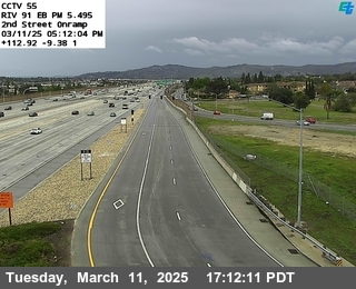

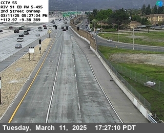
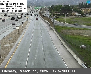


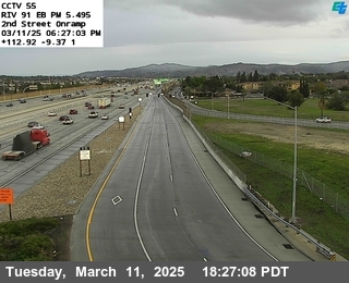
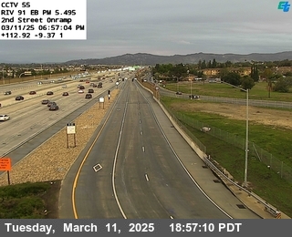
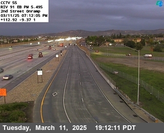

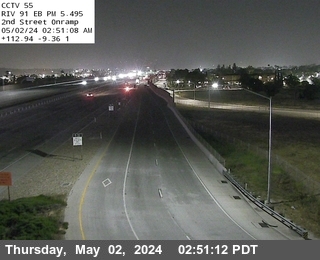
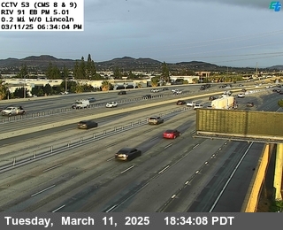
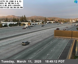
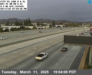
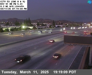
District: 8 Camera ID: 55
Location: SR-91 : 2nd Street Onramp
View on Google Maps
Direction: North
Elevation: 649
Location: SR-91 : 2nd Street Onramp
View on Google Maps
Direction: North
Elevation: 649
SR-91 near Corona in Riverside County
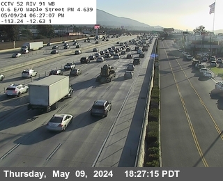


District: 8 Camera ID: 52
Location: SR-91 : 0.1 Miles West of Smith
View on Google Maps
Direction: South
Elevation: 679
Location: SR-91 : 0.1 Miles West of Smith
View on Google Maps
Direction: South
Elevation: 679
SR-91 near Corona in Riverside County
District: 8 Camera ID: 53
Location: SR-91 : 0.3 Miles East of Smith
View on Google Maps
Direction: North
Elevation: 659
Location: SR-91 : 0.3 Miles East of Smith
View on Google Maps
Direction: North
Elevation: 659
SR-91 near Corona in Riverside County


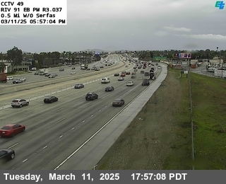
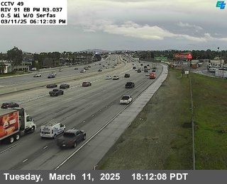
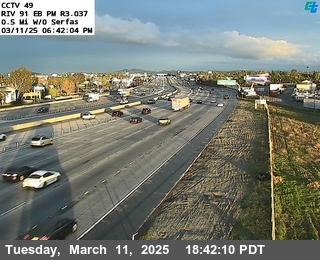

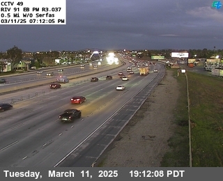
District: 8 Camera ID: 49
Location: SR-91 : 0.5 Miles West of Serfas
View on Google Maps
Direction: North
Elevation: 580
Location: SR-91 : 0.5 Miles West of Serfas
View on Google Maps
Direction: North
Elevation: 580
SR-91 near Corona in Riverside County
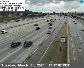
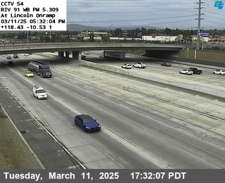
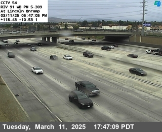
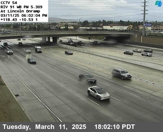
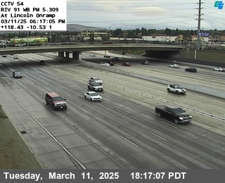
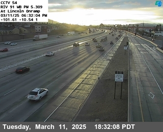
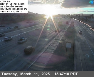
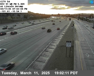
District: 8 Camera ID: 54
Location: SR-91 : Lincoln Onramp
View on Google Maps
Direction: South
Elevation: 649
Location: SR-91 : Lincoln Onramp
View on Google Maps
Direction: South
Elevation: 649
SR-91 near Corona in Riverside County

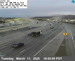
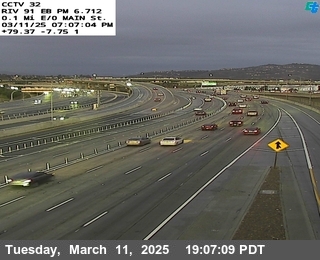
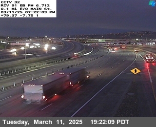
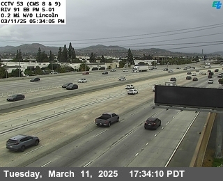
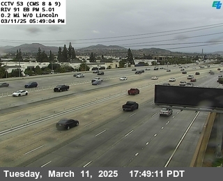
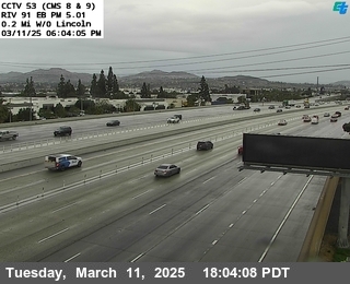
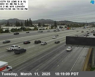
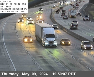
SR-91 near Corona in Riverside County
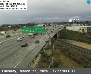

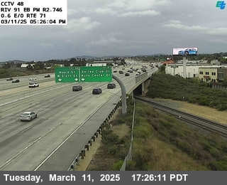
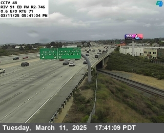
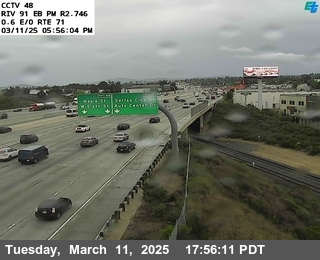
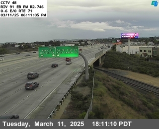
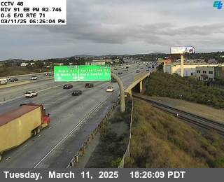

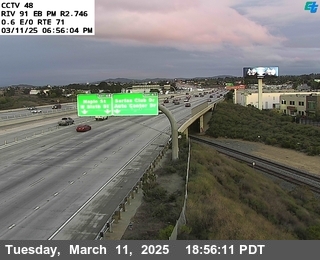
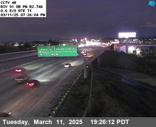
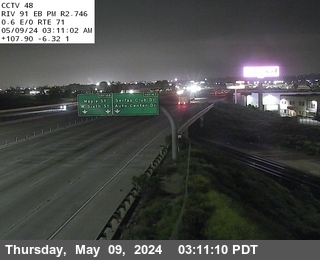
District: 8 Camera ID: 48
Location: SR-91 : 0.6 Miles East of SR-71
View on Google Maps
Direction: North
Elevation: 590
Location: SR-91 : 0.6 Miles East of SR-71
View on Google Maps
Direction: North
Elevation: 590
SR-91 near Corona in Riverside County
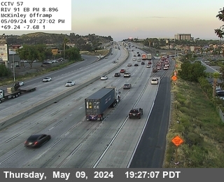
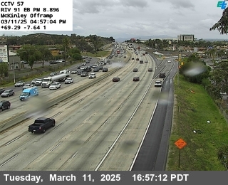
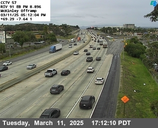
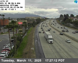
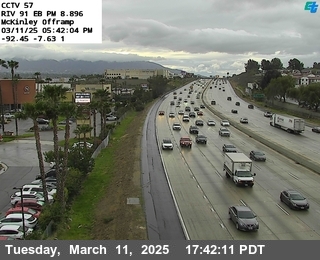

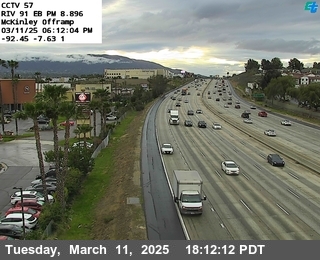
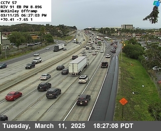
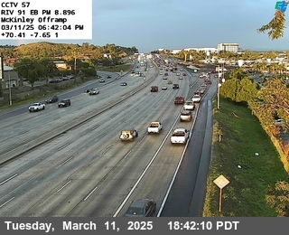
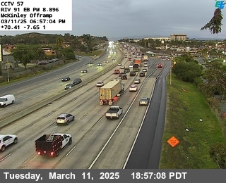
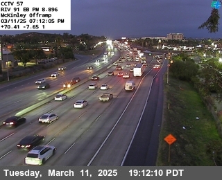
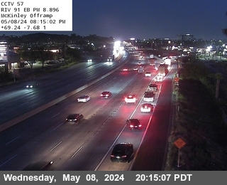
District: 8 Camera ID: 57
Location: SR-91 : Mckinley Offramp
View on Google Maps
Direction: North
Elevation: 692
Location: SR-91 : Mckinley Offramp
View on Google Maps
Direction: North
Elevation: 692
I-215 near March Air Reserve Base in Riverside County
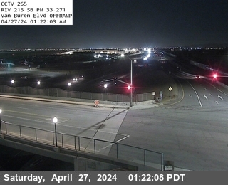


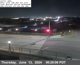
District: 8 Camera ID: 292
Location: I-215 : (265) Van Buren Boulevard Offramp
View on Google Maps
Direction: South
Elevation: 1545
Location: I-215 : (265) Van Buren Boulevard Offramp
View on Google Maps
Direction: South
Elevation: 1545
SR-71 near Corona in Riverside County


District: 8 Camera ID: 586
Location: SR-71 : (418) 0.5 Mi N/O SR-91
View on Google Maps
Direction: South
Elevation: 593
Location: SR-71 : (418) 0.5 Mi N/O SR-91
View on Google Maps
Direction: South
Elevation: 593
I-15 near Corona in Riverside County


District: 8 Camera ID: 70
Location: I-15 : Hidden Valley Parkway
View on Google Maps
Direction: South
Elevation: 620
Location: I-15 : Hidden Valley Parkway
View on Google Maps
Direction: South
Elevation: 620
SR-91 near Corona in Riverside County
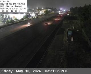
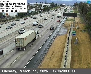
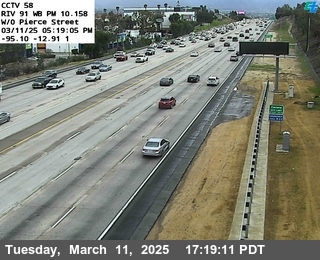
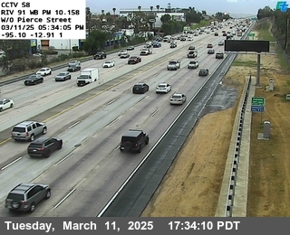
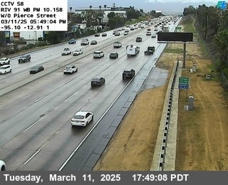
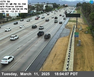
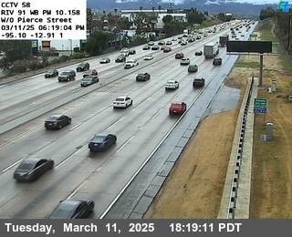
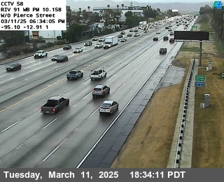
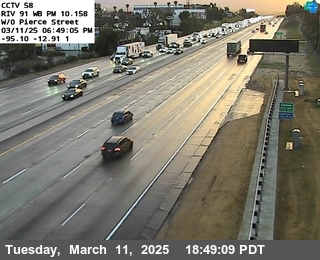
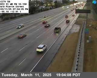
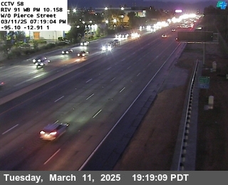
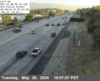
District: 8 Camera ID: 58
Location: SR-91 : West of Pierce
View on Google Maps
Direction: South
Elevation: 721
Location: SR-91 : West of Pierce
View on Google Maps
Direction: South
Elevation: 721
SR-71 near Corona in Riverside County


District: 8 Camera ID: 585
Location: SR-71 : (417) 1 Mi N/O SR-91
View on Google Maps
Direction: South
Elevation: 606
Location: SR-71 : (417) 1 Mi N/O SR-91
View on Google Maps
Direction: South
Elevation: 606
SR-91 near Riverside in Riverside County
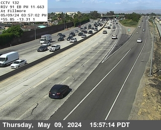
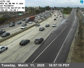
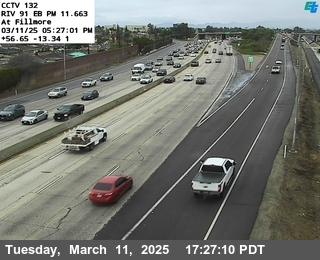

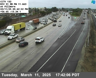
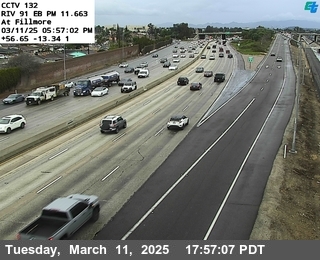
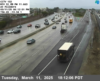
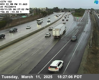
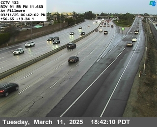
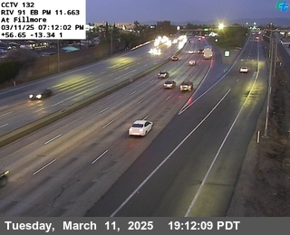
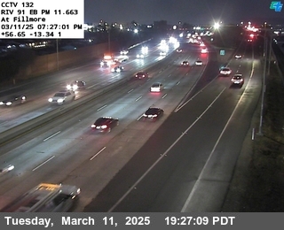
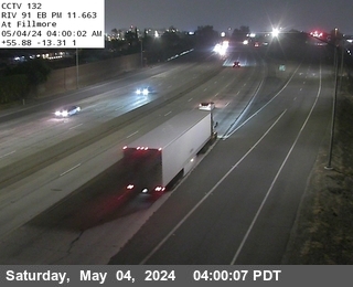
District: 8 Camera ID: 132
Location: SR-91 : Fillmore
View on Google Maps
Direction: North
Elevation: 744
Location: SR-91 : Fillmore
View on Google Maps
Direction: North
Elevation: 744
SR-91 near Riverside in Riverside County
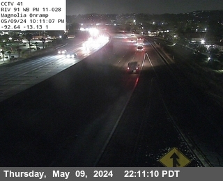
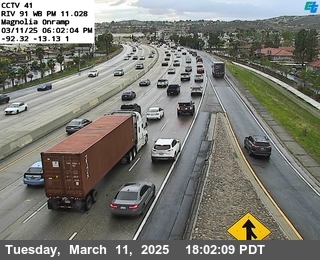
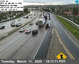
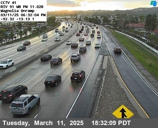
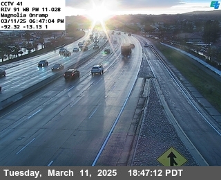
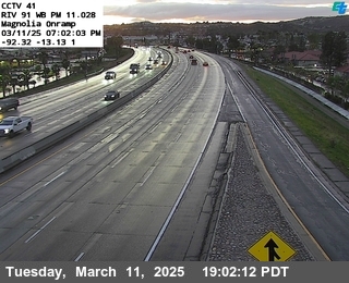
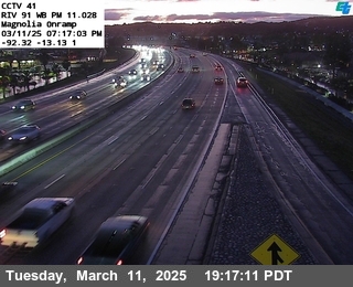
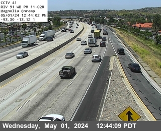
District: 8 Camera ID: 41
Location: SR-91 : Magnolia Onramp
View on Google Maps
Direction: South
Elevation: 708
Location: SR-91 : Magnolia Onramp
View on Google Maps
Direction: South
Elevation: 708
SR-91 near Riverside in Riverside County
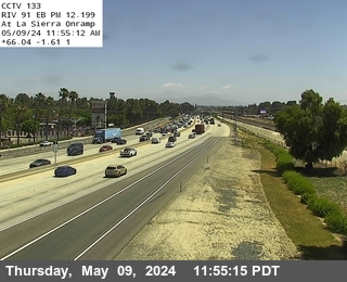
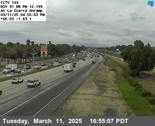
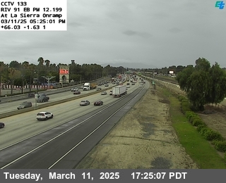

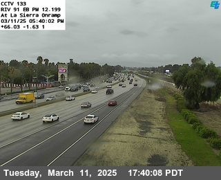
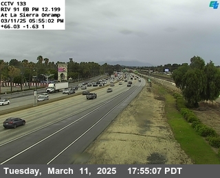


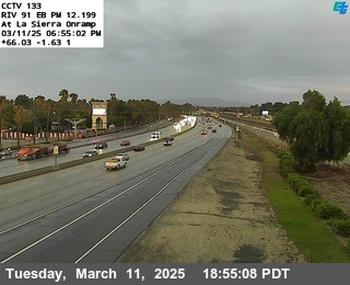
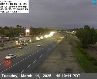
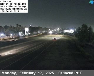
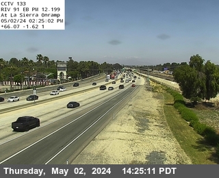
District: 8 Camera ID: 133
Location: SR-91 : La Sierra
View on Google Maps
Direction: North
Elevation: 754
Location: SR-91 : La Sierra
View on Google Maps
Direction: North
Elevation: 754
I-215 near March Air Reserve Base in Riverside County


District: 8 Camera ID: 293
Location: I-215 : (266) 0.5 Miles South of Cactus Avenue
View on Google Maps
Direction: North
Elevation: 1532
Location: I-215 : (266) 0.5 Miles South of Cactus Avenue
View on Google Maps
Direction: North
Elevation: 1532
I-15 near Norco in Riverside County


SR-91 near Riverside in Riverside County

I-10 near Garnet in Riverside County
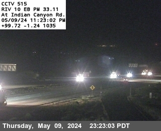


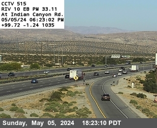
District: 8 Camera ID: 1370
Location: I-10 : (515) Indian Canyon
View on Google Maps
Direction:
Elevation: 730.35
Location: I-10 : (515) Indian Canyon
View on Google Maps
Direction:
Elevation: 730.35
SR-71 near Corona in Riverside County


District: 8 Camera ID: 584
Location: SR-71 : (416) 1.7 Mi S/O Euclid
View on Google Maps
Direction: South
Elevation: 570
Location: SR-71 : (416) 1.7 Mi S/O Euclid
View on Google Maps
Direction: South
Elevation: 570
I-215 near March Air Reserve Base in Riverside County


District: 8 Camera ID: 294
Location: I-215 : (268) Cactus Avenue
View on Google Maps
Direction: North
Elevation: 1555
Location: I-215 : (268) Cactus Avenue
View on Google Maps
Direction: North
Elevation: 1555
SR-91 near Riverside in Riverside County
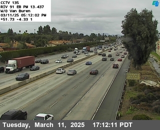

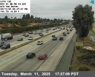
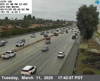
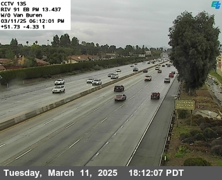

District: 8 Camera ID: 135
Location: SR-91 : West of Van Buren
View on Google Maps
Direction: North
Elevation: 787
Location: SR-91 : West of Van Buren
View on Google Maps
Direction: North
Elevation: 787
SR-91 near Riverside in Riverside County
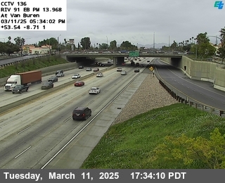
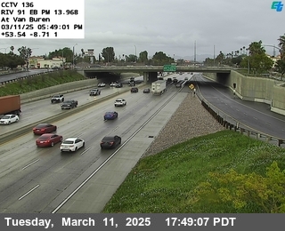
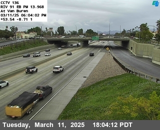
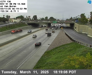
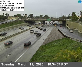
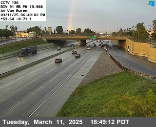
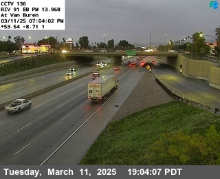
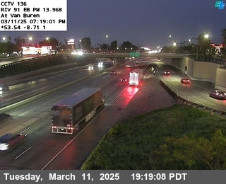
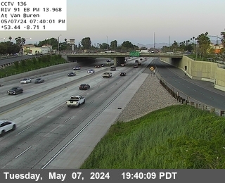
District: 8 Camera ID: 136
Location: SR-91 : At Van Buren
View on Google Maps
Direction: North
Elevation: 823
Location: SR-91 : At Van Buren
View on Google Maps
Direction: North
Elevation: 823
I-215 near March Air Reserve Base in Riverside County
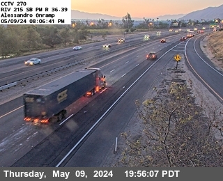


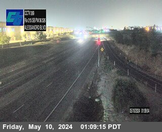
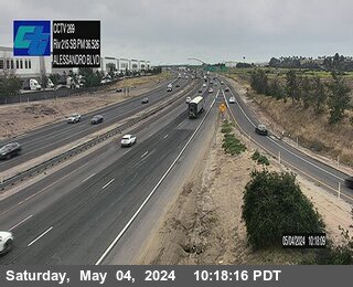
District: 8 Camera ID: 297
Location: I-215 : (270) Alessandro Onramp
View on Google Maps
Direction: South
Elevation: 1519
Location: I-215 : (270) Alessandro Onramp
View on Google Maps
Direction: South
Elevation: 1519
SR-71 near Corona in Riverside County


District: 8 Camera ID: 583
Location: SR-71 : (415) 1 Mi S/O Euclid
View on Google Maps
Direction: North
Elevation: 557
Location: SR-71 : (415) 1 Mi S/O Euclid
View on Google Maps
Direction: North
Elevation: 557
I-215 near Riverside in Riverside County


District: 8 Camera ID: 296
Location: I-215 : (269) North Alessandro
View on Google Maps
Direction: North
Elevation: 1519
Location: I-215 : (269) North Alessandro
View on Google Maps
Direction: North
Elevation: 1519
I-10 near Cabazon in Riverside County
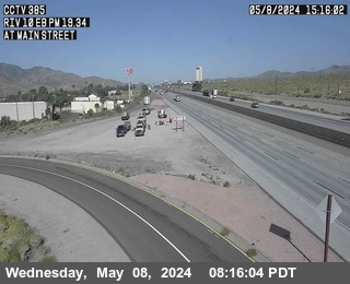


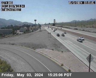
District: 8 Camera ID: 509
Location: I-10 : (385) Main Street
View on Google Maps
Direction: East
Elevation: 1791
Location: I-10 : (385) Main Street
View on Google Maps
Direction: East
Elevation: 1791
I-10 near Cabazon in Riverside County
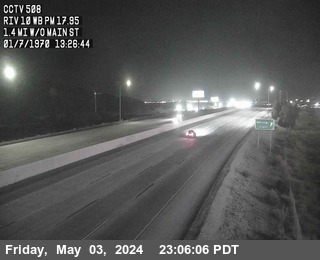


District: 8 Camera ID: 508
Location: I-10 : West Of Main Street
View on Google Maps
Direction: West
Elevation: 1935
Location: I-10 : West Of Main Street
View on Google Maps
Direction: West
Elevation: 1935
I-15 near Norco in Riverside County
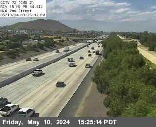


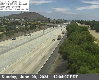
District: 8 Camera ID: 72
Location: I-15 : N of 2nd Street
View on Google Maps
Direction: North
Elevation: 613
Location: I-15 : N of 2nd Street
View on Google Maps
Direction: North
Elevation: 613
SR-91 near Riverside in Riverside County
I-10 near Whitewater in Riverside County


District: 8 Camera ID: 512
Location: I-10 : White Water Rest Area
View on Google Maps
Direction: East
Elevation: 1167
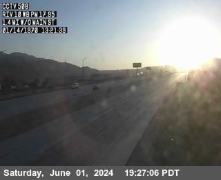
Location: I-10 : White Water Rest Area
View on Google Maps
Direction: East
Elevation: 1167
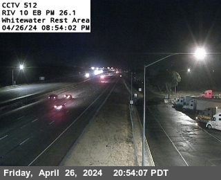
I-10 near Whitewater in Riverside County


District: 8 Camera ID: 1384
Location: I-10 : (TPAS1) Whitewater Rest Area WB
View on Google Maps
Direction: West
Elevation: 1100
Location: I-10 : (TPAS1) Whitewater Rest Area WB
View on Google Maps
Direction: West
Elevation: 1100
I-10 near Whitewater in Riverside County


District: 8 Camera ID: 370
Location: I-10 : West of Haugen-Lehmann Way
View on Google Maps
Direction: North
Elevation: 1358
Location: I-10 : West of Haugen-Lehmann Way
View on Google Maps
Direction: North
Elevation: 1358
I-10 near Banning in Riverside County


District: 8 Camera ID: 504
Location: I-10 : 22nd Street
View on Google Maps
Direction: East
Elevation: 2440
Location: I-10 : 22nd Street
View on Google Maps
Direction: East
Elevation: 2440
I-10 near Banning in Riverside County


District: 8 Camera ID: 503
Location: I-10: East of Highland Springs Avenue
View on Google Maps
Direction: East
Elevation: 2522
Location: I-10: East of Highland Springs Avenue
View on Google Maps
Direction: East
Elevation: 2522
I-10 near Banning in Riverside County
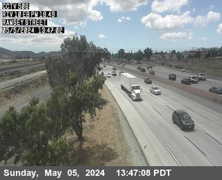


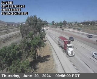
District: 8 Camera ID: 506
Location: I-10 : Ramsey Street
View on Google Maps
Direction: East
Elevation: 2204
Location: I-10 : Ramsey Street
View on Google Maps
Direction: East
Elevation: 2204
SR-91 near Riverside in Riverside County
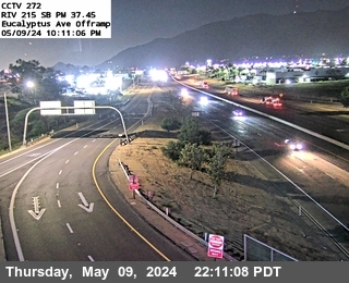
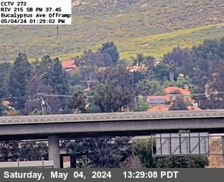
I-215 near Riverside in Riverside County


District: 8 Camera ID: 298
Location: I-215 : (271) Eucalyptus
View on Google Maps
Direction: South
Elevation: 1541
Location: I-215 : (271) Eucalyptus
View on Google Maps
Direction: South
Elevation: 1541
SR-71 near Corona in San Bernardino County
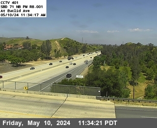


District: 8 Camera ID: 1386
Location: SR-71 : (401) At Euclid Ave
View on Google Maps
Direction: North
Elevation: 551
Location: SR-71 : (401) At Euclid Ave
View on Google Maps
Direction: North
Elevation: 551
SR-71 near Chino Hills in San Bernardino County
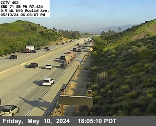


District: 8 Camera ID: 1387
Location: SR-71 : (402) 0.5 Mi N/O Euclid
View on Google Maps
Direction: South
Elevation: 554
Location: SR-71 : (402) 0.5 Mi N/O Euclid
View on Google Maps
Direction: South
Elevation: 554
I-215 near Riverside in Riverside County


District: 8 Camera ID: 299
Location: I-215 : (272) Eucalyptus Avenue
View on Google Maps
Direction: South
Elevation: 1555
Location: I-215 : (272) Eucalyptus Avenue
View on Google Maps
Direction: South
Elevation: 1555
SR-91 near Riverside in Riverside County
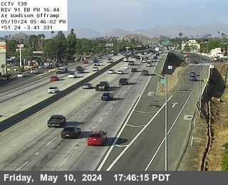
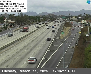
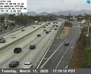
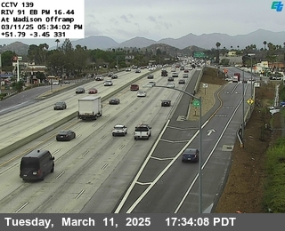
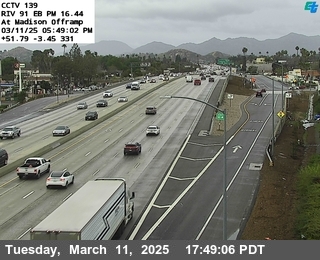
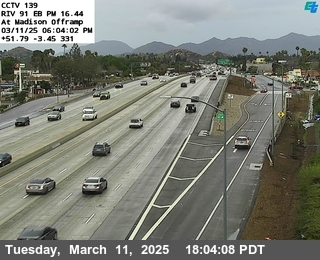
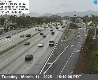
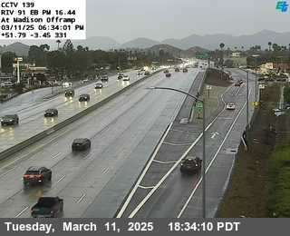
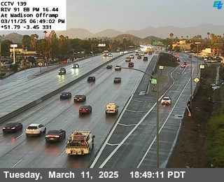
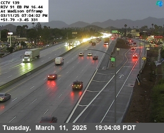
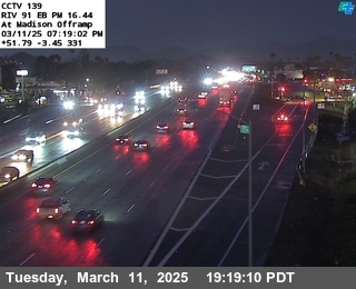
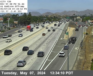
District: 8 Camera ID: 139
Location: SR-91 : Madison
View on Google Maps
Direction: North
Elevation: 853
Location: SR-91 : Madison
View on Google Maps
Direction: North
Elevation: 853
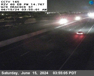
SR-60 near Moreno Valley in Riverside County
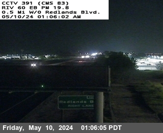


District: 8 Camera ID: 1385
Location: SR-60 : (391) 0.5 Mi W/O Redlands Blvd
View on Google Maps
Direction: East
Elevation: 1786.7
Location: SR-60 : (391) 0.5 Mi W/O Redlands Blvd
View on Google Maps
Direction: East
Elevation: 1786.7
SR-60 near Moreno Valley in Riverside County
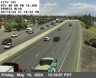


District: 8 Camera ID: 167
Location: SR-60 : Perris Boulevard
View on Google Maps
Direction: East
Elevation: 1660
Location: SR-60 : Perris Boulevard
View on Google Maps
Direction: East
Elevation: 1660
I-215 near Riverside in Riverside County
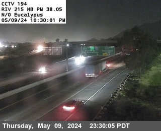


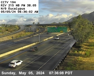
District: 8 Camera ID: 194
Location: I-215 : N of Eucalyptus
View on Google Maps
Direction: North
Elevation: 1548
Location: I-215 : N of Eucalyptus
View on Google Maps
Direction: North
Elevation: 1548
SR-60 near Moreno Valley in Riverside County
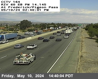


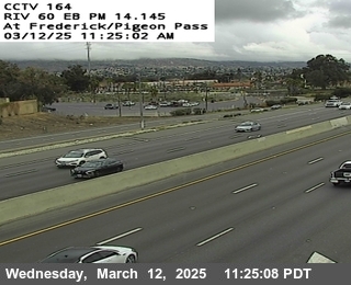

District: 8 Camera ID: 164
Location: SR-60 : Frederick / Pigeon Pass Road
View on Google Maps
Direction: East
Elevation: 1660
Location: SR-60 : Frederick / Pigeon Pass Road
View on Google Maps
Direction: East
Elevation: 1660
SR-60 near Moreno Valley in Riverside County
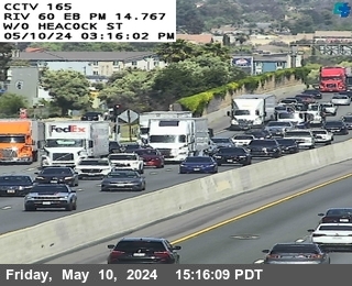


District: 8 Camera ID: 165
Location: SR-60 : West of Heacock
View on Google Maps
Direction: East
Elevation: 1646
Location: SR-60 : West of Heacock
View on Google Maps
Direction: East
Elevation: 1646
SR-60 near Moreno Valley in Riverside County
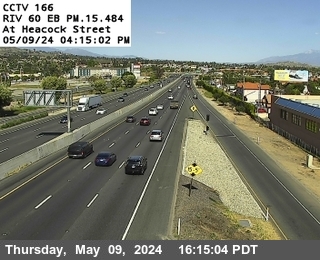


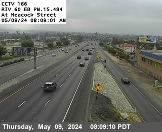
District: 8 Camera ID: 166
Location: SR-60 : Heacock
View on Google Maps
Direction: East
Elevation: 1646
Location: SR-60 : Heacock
View on Google Maps
Direction: East
Elevation: 1646
SR-91 near Riverside in Riverside County
I-15 near Norco in Riverside County


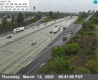
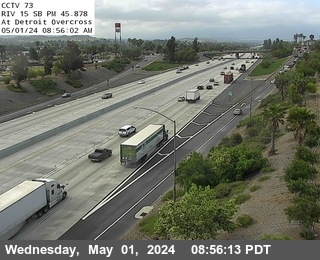
District: 8 Camera ID: 73
Location: I-15 : Detroit Overcross
View on Google Maps
Direction: South
Elevation: 636
Location: I-15 : Detroit Overcross
View on Google Maps
Direction: South
Elevation: 636
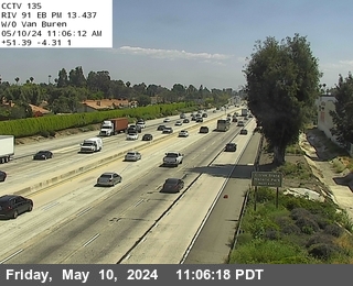
SR-91 near Riverside in Riverside County
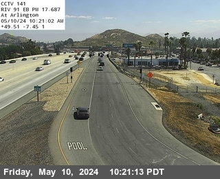
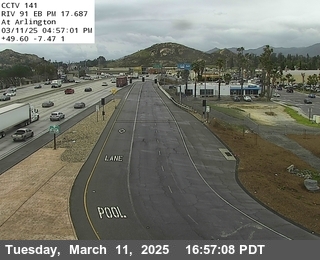
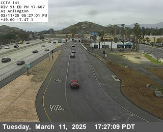

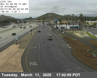
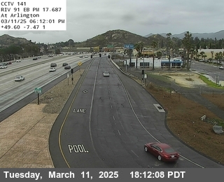
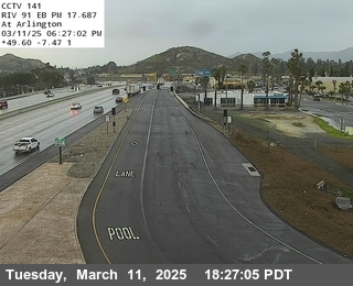
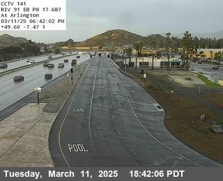
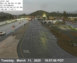


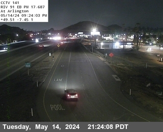
District: 8 Camera ID: 141
Location: SR-91 : Arlington
View on Google Maps
Direction: North
Elevation: 869
Location: SR-91 : Arlington
View on Google Maps
Direction: North
Elevation: 869
SR-60 near Riverside in Riverside County


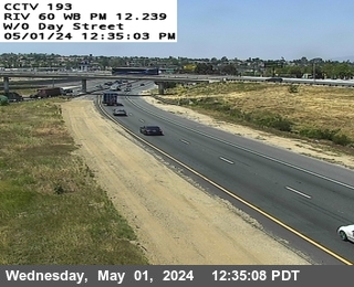
District: 8 Camera ID: 193
Location: SR-60 : West Of Day Street
View on Google Maps
Direction: West
Elevation: 1551
Location: SR-60 : West Of Day Street
View on Google Maps
Direction: West
Elevation: 1551
SR-71 near Chino Hills in San Bernardino County


District: 8 Camera ID: 1388
Location: SR-71 : (403) Pine Onramp
View on Google Maps
Direction: South
Elevation: 571
Location: SR-71 : (403) Pine Onramp
View on Google Maps
Direction: South
Elevation: 571
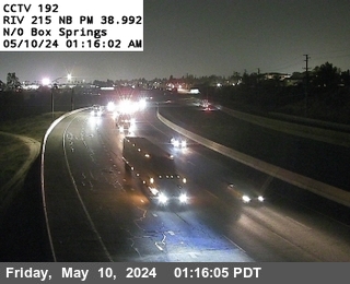
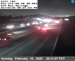
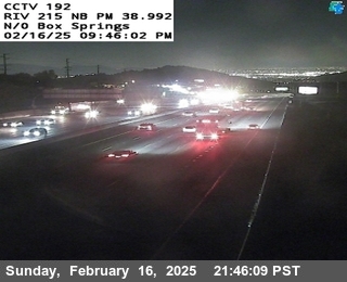
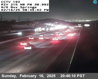
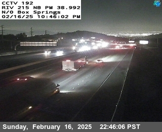
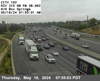
I-215 near Riverside in Riverside County
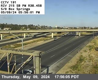


District: 8 Camera ID: 191
Location: I-215 : s/o Box Springs Road
View on Google Maps
Direction: North
Elevation: 1463
Location: I-215 : s/o Box Springs Road
View on Google Maps
Direction: North
Elevation: 1463
I-15 near Mira Loma in Riverside County
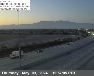


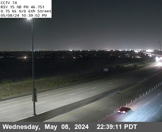
District: 8 Camera ID: 74
Location: I-15 : .75mi North Of 6th Street
View on Google Maps
Direction: North
Elevation: 603
Location: I-15 : .75mi North Of 6th Street
View on Google Maps
Direction: North
Elevation: 603
I-215 near Riverside in Riverside County


District: 8 Camera ID: 192
Location: I-215 : n/o Box Springs Road
View on Google Maps
Direction: South
Elevation: 1525
Location: I-215 : n/o Box Springs Road
View on Google Maps
Direction: South
Elevation: 1525
I-10 near Beaumont in Riverside County
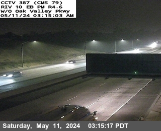


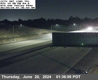
District: 8 Camera ID: 1382
Location: I-10 : (387) W/O Oak Valley Pkwy
View on Google Maps
Direction: East
Elevation: 2509.8
Location: I-10 : (387) W/O Oak Valley Pkwy
View on Google Maps
Direction: East
Elevation: 2509.8
SR-71 near Chino Hills in San Bernardino County


District: 8 Camera ID: 1389
Location: SR-71 : (404) 0.5 Mi N/O Pine Ave
View on Google Maps
Direction: North
Elevation: 551
Location: SR-71 : (404) 0.5 Mi N/O Pine Ave
View on Google Maps
Direction: North
Elevation: 551
SR-91 near Riverside in Riverside County
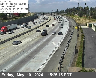
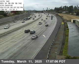
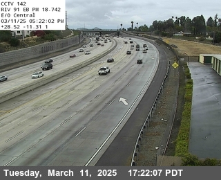
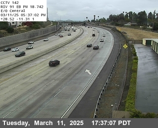
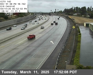
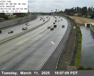
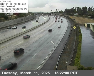
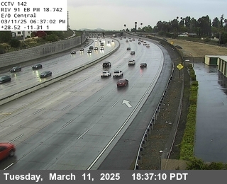
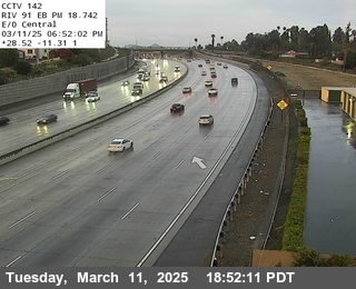
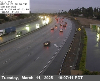
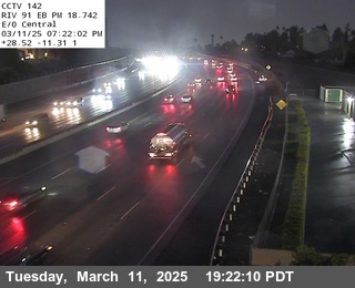
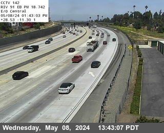
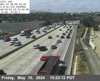
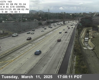
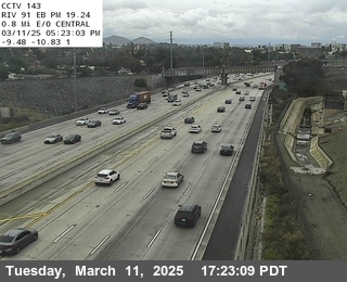
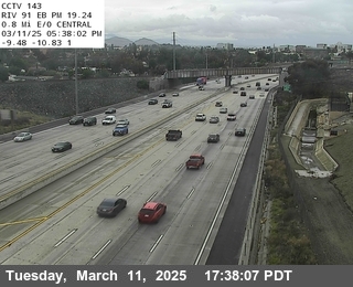
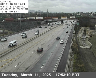
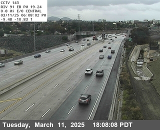
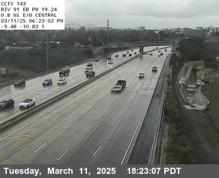
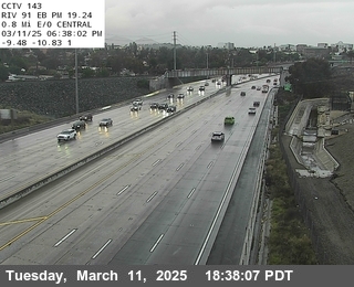
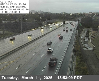
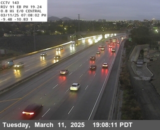
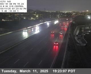
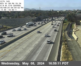
District: 8 Camera ID: 142
Location: SR-91 : Central
View on Google Maps
Direction: North
Elevation: 889
Location: SR-91 : Central
View on Google Maps
Direction: North
Elevation: 889
I-215 near Riverside in Riverside County
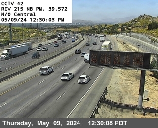


District: 8 Camera ID: 42
Location: I-215 : N of Central
View on Google Maps
Direction: North
Elevation: 1368
Location: I-215 : N of Central
View on Google Maps
Direction: North
Elevation: 1368
I-215 near Riverside in Riverside County
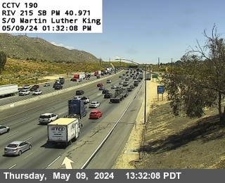


District: 8 Camera ID: 190
Location: I-215 : S of M.L. King Boulevard
View on Google Maps
Direction: North
Elevation: 1062
Location: I-215 : S of M.L. King Boulevard
View on Google Maps
Direction: North
Elevation: 1062
SR-91 near Riverside in Riverside County
District: 8 Camera ID: 143
Location: SR-91 : 0.5 Miles North Of Central
View on Google Maps
Direction: North
Elevation: 889
Location: SR-91 : 0.5 Miles North Of Central
View on Google Maps
Direction: North
Elevation: 889
I-15 near Mira Loma in Riverside County
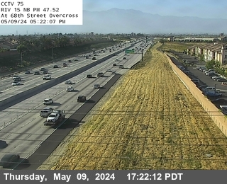


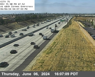
District: 8 Camera ID: 75
Location: I-15 : 68th Street Overcross
View on Google Maps
Direction: North
Elevation: 626
Location: I-15 : 68th Street Overcross
View on Google Maps
Direction: North
Elevation: 626
SR-71 near Chino Hills in San Bernardino County


District: 8 Camera ID: 1390
Location: SR-71 : (405) Central Offramp
View on Google Maps
Direction: North
Elevation: 577
Location: SR-71 : (405) Central Offramp
View on Google Maps
Direction: North
Elevation: 577
I-215 near Riverside in Riverside County
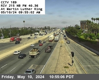


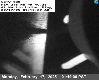
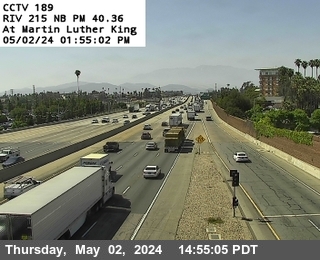
District: 8 Camera ID: 189
Location: I-215 : M.L. King Boulevard
View on Google Maps
Direction: South
Elevation: 1210
Location: I-215 : M.L. King Boulevard
View on Google Maps
Direction: South
Elevation: 1210
SR-71 near Chino in San Bernardino County


District: 8 Camera ID: 1391
Location: SR-71 : (406) Central Ave Onramp
View on Google Maps
Direction:
Elevation: 597
Location: SR-71 : (406) Central Ave Onramp
View on Google Maps
Direction:
Elevation: 597
SR-91 near Riverside in Riverside County


SR-71 near Chino Hills in San Bernardino County


District: 8 Camera ID: 1392
Location: SR-71 : (407) 0.5 MI N/O Central Ave
View on Google Maps
Direction: South
Elevation: 604
Location: SR-71 : (407) 0.5 MI N/O Central Ave
View on Google Maps
Direction: South
Elevation: 604
I-15 near Mira Loma in Riverside County


I-15 near Fontana in Riverside County


District: 8 Camera ID: 1378
Location: I-15 : (398) Park and Ride West
View on Google Maps
Direction: North
Elevation: 662.7
Location: I-15 : (398) Park and Ride West
View on Google Maps
Direction: North
Elevation: 662.7
I-15 near Eastvale in Riverside County


District: 8 Camera ID: 1379
Location: I-15 : (399) Park and Ride East
View on Google Maps
Direction: North
Elevation: 662.7
Location: I-15 : (399) Park and Ride East
View on Google Maps
Direction: North
Elevation: 662.7
I-215 near Riverside in Riverside County
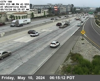


District: 8 Camera ID: 188
Location: I-215 : University Avenue
View on Google Maps
Direction: North
Elevation: 1033
Location: I-215 : University Avenue
View on Google Maps
Direction: North
Elevation: 1033
SR-71 near Chino Hills in San Bernardino County
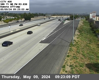


District: 8 Camera ID: 1393
Location: SR-71 : (408) Ramona Offramp
View on Google Maps
Direction: North
Elevation: 617
Location: SR-71 : (408) Ramona Offramp
View on Google Maps
Direction: North
Elevation: 617
SR-91 near Riverside in Riverside County
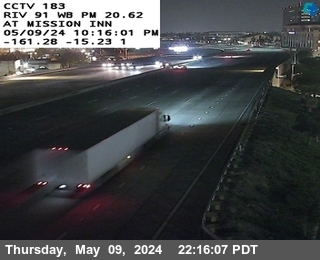


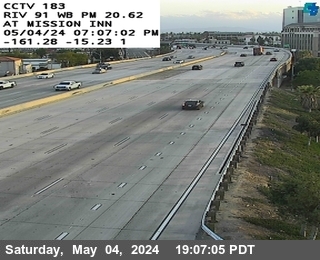
District: 8 Camera ID: 183
Location: SR-91 : Mission Avenue
View on Google Maps
Direction: South
Elevation: 875
Location: SR-91 : Mission Avenue
View on Google Maps
Direction: South
Elevation: 875
I-215 near Riverside in Riverside County
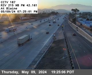


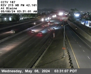
District: 8 Camera ID: 187
Location: I-215 : Blaine Street
View on Google Maps
Direction: North
Elevation: 971
Location: I-215 : Blaine Street
View on Google Maps
Direction: North
Elevation: 971
SR-91 near Riverside in Riverside County
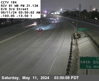


District: 8 Camera ID: 184
Location: SR-91 : East of Third Street
View on Google Maps
Direction: South
Elevation: 872
Location: SR-91 : East of Third Street
View on Google Maps
Direction: South
Elevation: 872
I-215 near Riverside in Riverside County
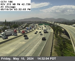


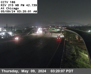
District: 8 Camera ID: 186
Location: I-215 : Chicago Avenue
View on Google Maps
Direction: North
Elevation: 935
Location: I-215 : Chicago Avenue
View on Google Maps
Direction: North
Elevation: 935
SR-91 near Riverside in Riverside County
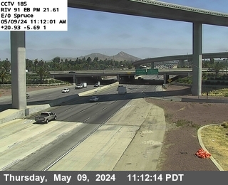


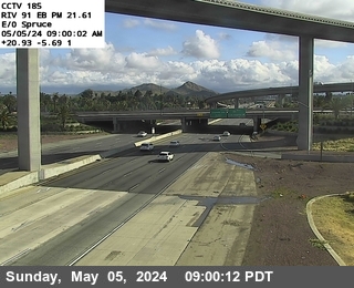
District: 8 Camera ID: 185
Location: SR-91 : East Of Spruce Street
View on Google Maps
Direction: North
Elevation: 875
Location: SR-91 : East Of Spruce Street
View on Google Maps
Direction: North
Elevation: 875
SR-71 near Chino Hills in San Bernardino County
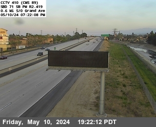


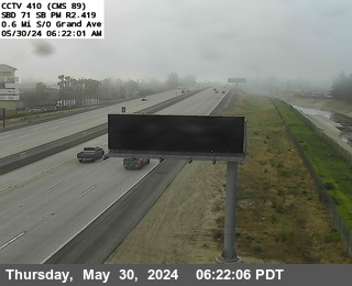
District: 8 Camera ID: 1395
Location: SR-71 : (410) 0.6 MI S/O Grand Ave
View on Google Maps
Direction: South
Elevation: 623
Location: SR-71 : (410) 0.6 MI S/O Grand Ave
View on Google Maps
Direction: South
Elevation: 623
SR-60 near Riverside in Riverside County
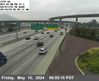


District: 8 Camera ID: 60
Location: SR-60 : East of Main Street
View on Google Maps
Direction: East
Elevation: 872
Location: SR-60 : East of Main Street
View on Google Maps
Direction: East
Elevation: 872
SR-60 near Riverside in Riverside County
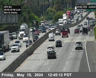


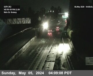
District: 8 Camera ID: 1363
Location: SR-60 : (363) Main Street
View on Google Maps
Direction: West
Elevation: 830
Location: SR-60 : (363) Main Street
View on Google Maps
Direction: West
Elevation: 830
I-15 near Mira Loma in Riverside County
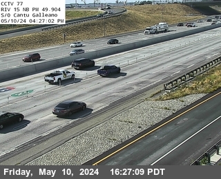


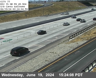
District: 8 Camera ID: 77
Location: I-15 : S of Cantu Galleano
View on Google Maps
Direction: North
Elevation: 718
Location: I-15 : S of Cantu Galleano
View on Google Maps
Direction: North
Elevation: 718
SR-71 near Chino in San Bernardino County

District: 8 Camera ID: 1396
Location: SR-71 : (411) Grand Ave (Loop)
View on Google Maps
Direction: North
Elevation: 656
Location: SR-71 : (411) Grand Ave (Loop)
View on Google Maps
Direction: North
Elevation: 656
I-215 near Riverside in Riverside County
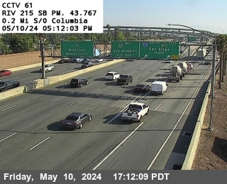


District: 8 Camera ID: 61
Location: I-215 : 0.2 Miles S of Columbia
View on Google Maps
Direction: South
Elevation: 872
Location: I-215 : 0.2 Miles S of Columbia
View on Google Maps
Direction: South
Elevation: 872
SR-60 near Riverside in Riverside County
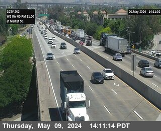


District: 8 Camera ID: 1362
Location: SR-60 : (362) Market Street
View on Google Maps
Direction: West
Elevation: 820
Location: SR-60 : (362) Market Street
View on Google Maps
Direction: West
Elevation: 820
SR-60 near Riverside in Riverside County
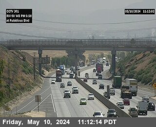


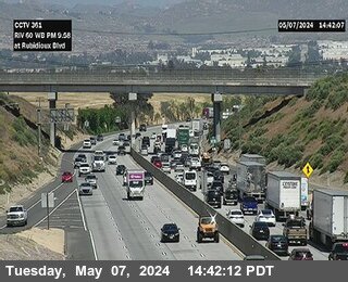
District: 8 Camera ID: 1361
Location: SR-60 : (361) Rubidoux Boulevard
View on Google Maps
Direction: West
Elevation: 833
Location: SR-60 : (361) Rubidoux Boulevard
View on Google Maps
Direction: West
Elevation: 833
I-10 near County Line Rd WB Onramp in San Bernardino County
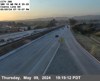


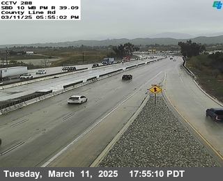
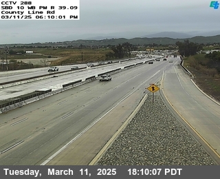
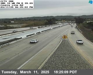
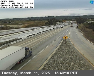
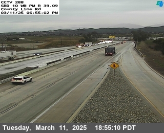

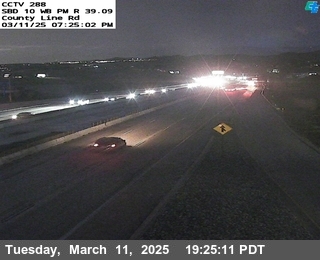
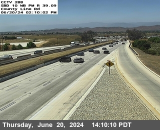
District: 8 Camera ID: 1407
Location: I-10: (288) County Line Rd WB
View on Google Maps
Direction: West
Elevation: 2362.2
Location: I-10: (288) County Line Rd WB
View on Google Maps
Direction: West
Elevation: 2362.2
SR-60 near Riverside in Riverside County
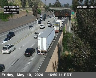


District: 8 Camera ID: 1360
Location: SR-60 : (360) La Rue Street
View on Google Maps
Direction: East
Elevation: 866
Location: SR-60 : (360) La Rue Street
View on Google Maps
Direction: East
Elevation: 866
I-215 near Riverside in Riverside County


District: 8 Camera ID: 62
Location: I-215 : 0.4 Miles N of Columbia
View on Google Maps
Direction: North
Elevation: 895
Location: I-215 : 0.4 Miles N of Columbia
View on Google Maps
Direction: North
Elevation: 895
SR-71 near Chino in San Bernardino County


District: 8 Camera ID: 1397
Location: SR-71 : (412) S/O Chino Ave
View on Google Maps
Direction: North
Elevation: 734
Location: SR-71 : (412) S/O Chino Ave
View on Google Maps
Direction: North
Elevation: 734
I-15 near Mira Loma in Riverside County


District: 8 Camera ID: 79
Location: I-15 : SR-60 SE Quad
View on Google Maps
Direction: North
Elevation: 800
Location: I-15 : SR-60 SE Quad
View on Google Maps
Direction: North
Elevation: 800
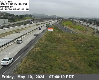
SR-71 near Chino Hills in San Bernardino County


District: 8 Camera ID: 1398
Location: SR-71 : (413) 0.4 MI S/O Peyton Drive
View on Google Maps
Direction: South
Elevation: 767
Location: SR-71 : (413) 0.4 MI S/O Peyton Drive
View on Google Maps
Direction: South
Elevation: 767
I-10 near WB Live Oak Canyon Rd Entrance Ramp in San Bernardino County


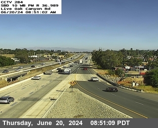
District: 8 Camera ID: 1406
Location: I-10: (284) Live Oak Canyon Rd WB
View on Google Maps
Direction: West
Elevation: 2034.12
Location: I-10: (284) Live Oak Canyon Rd WB
View on Google Maps
Direction: West
Elevation: 2034.12
I-215 near Riverside in Riverside County
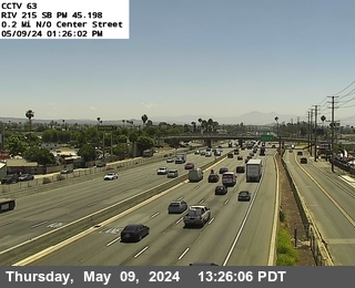


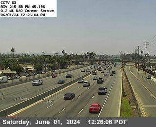
District: 8 Camera ID: 63
Location: I-215 : 1.4 Miles N of Columbia
View on Google Maps
Direction: South
Elevation: 908
Location: I-215 : 1.4 Miles N of Columbia
View on Google Maps
Direction: South
Elevation: 908
SR-71 near Chino Hills in San Bernardino County


District: 8 Camera ID: 1399
Location: SR-71 : (414) Peyton Drive
View on Google Maps
Direction: North
Elevation: 801
Location: SR-71 : (414) Peyton Drive
View on Google Maps
Direction: North
Elevation: 801
I-215 near Colton in San Bernardino County
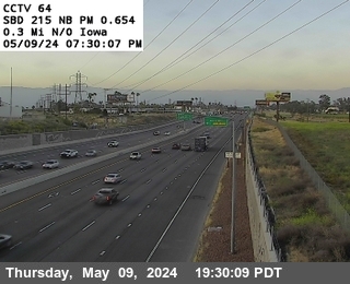


District: 8 Camera ID: 64
Location: I-215 : 0.3 Mi N/O Iowa
View on Google Maps
Direction: North
Elevation: 928
Location: I-215 : 0.3 Mi N/O Iowa
View on Google Maps
Direction: North
Elevation: 928
I-10 near Yucaipa Blvd. WB Onramp in San Bernardino County
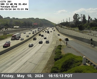


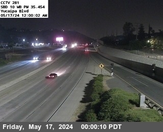
District: 8 Camera ID: 1405
Location: I-10: (281) Yucaipa Blvd
View on Google Maps
Direction: West
Elevation: 2043.96
Location: I-10: (281) Yucaipa Blvd
View on Google Maps
Direction: West
Elevation: 2043.96
SR-60 near Chino in San Bernardino County


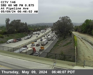
District: 8 Camera ID: 146
Location: SR-60 : Pipeline Avenue
View on Google Maps
Direction: West
Elevation: 767
Location: SR-60 : Pipeline Avenue
View on Google Maps
Direction: West
Elevation: 767
I-15 near Mira Loma in Riverside County


District: 8 Camera ID: 81
Location: I-15 : Mission Blvd. UC
View on Google Maps
Direction: North
Elevation: 862
Location: I-15 : Mission Blvd. UC
View on Google Maps
Direction: North
Elevation: 862
SR-60 near Chino in San Bernardino County


District: 8 Camera ID: 148
Location: SR-60 : West of Central
View on Google Maps
Direction: East
Elevation: 800
Location: SR-60 : West of Central
View on Google Maps
Direction: East
Elevation: 800
SR-60 near Ontario in San Bernardino County


District: 8 Camera ID: 153
Location: SR-60 : East of Euclid Avemue (Bon View Avenue)
View on Google Maps
Direction: East
Elevation: 839
Location: SR-60 : East of Euclid Avemue (Bon View Avenue)
View on Google Maps
Direction: East
Elevation: 839
SR-60 near Ontario in San Bernardino County


District: 8 Camera ID: 154
Location: SR-60 : Grove Avenue
View on Google Maps
Direction: East
Elevation: 839
Location: SR-60 : Grove Avenue
View on Google Maps
Direction: East
Elevation: 839
SR-60 near Chino in San Bernardino County


District: 8 Camera ID: 149
Location: SR-60 : East of Central
View on Google Maps
Direction: West
Elevation: 826
Location: SR-60 : East of Central
View on Google Maps
Direction: West
Elevation: 826
SR-60 near Chino in San Bernardino County


District: 8 Camera ID: 150
Location: SR-60 : East of Benson Avenue
View on Google Maps
Direction: West
Elevation: 826
Location: SR-60 : East of Benson Avenue
View on Google Maps
Direction: West
Elevation: 826
I-10 near Wabash Ave in San Bernardino County
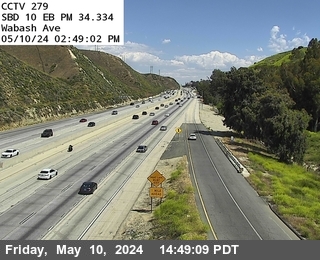


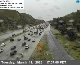
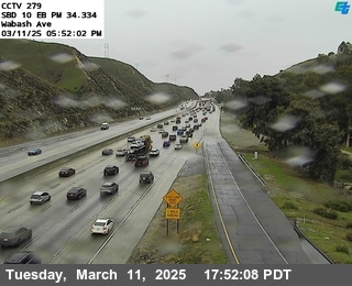
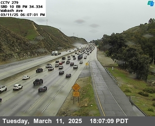
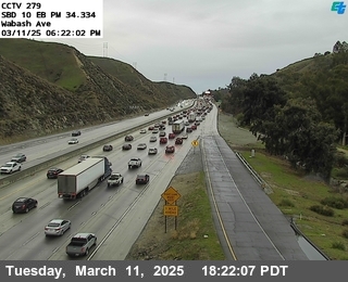
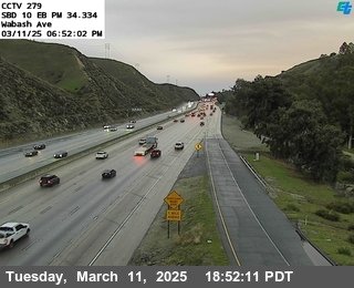

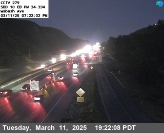
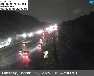
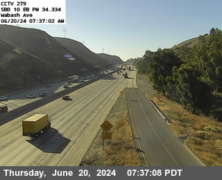
District: 8 Camera ID: 1404
Location: I-10: (279) Wabash Ave
View on Google Maps
Direction: East
Elevation: 1820.87
Location: I-10: (279) Wabash Ave
View on Google Maps
Direction: East
Elevation: 1820.87
I-215 near Grand Terrace in San Bernardino County


District: 8 Camera ID: 1352
Location: I-215: (352) Barton Road
View on Google Maps
Direction: North
Elevation: 987
Location: I-215: (352) Barton Road
View on Google Maps
Direction: North
Elevation: 987
I-10 near Redlands in San Bernardino County
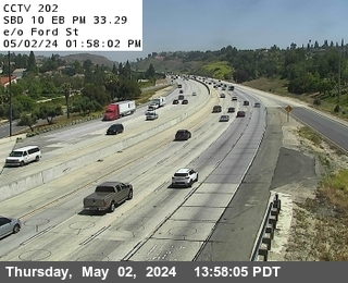


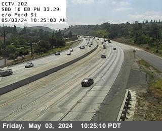
District: 8 Camera ID: 202
Location: I-10 : East of Ford Street
View on Google Maps
Direction: East
Elevation: 1663
Location: I-10 : East of Ford Street
View on Google Maps
Direction: East
Elevation: 1663
I-10 near Redlands in San Bernardino County
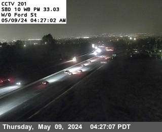


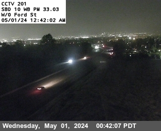
District: 8 Camera ID: 201
Location: I-10 : West of Ford Street
View on Google Maps
Direction: West
Elevation: 1643
Location: I-10 : West of Ford Street
View on Google Maps
Direction: West
Elevation: 1643
I-15 near Ontario in San Bernardino County


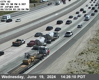
District: 8 Camera ID: 82
Location: I-15 : Jurupa Street
View on Google Maps
Direction: South
Elevation: 908
Location: I-15 : Jurupa Street
View on Google Maps
Direction: South
Elevation: 908
I-10 near SBD 10 University in San Bernardino County
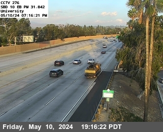


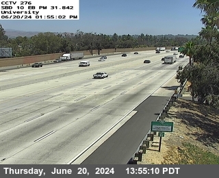
District: 8 Camera ID: 1401
Location: I-10: (276) University Dr.
View on Google Maps
Direction: East
Elevation: 1463.5
Location: I-10: (276) University Dr.
View on Google Maps
Direction: East
Elevation: 1463.5
I-15 near Ontario in San Bernardino County
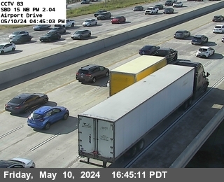


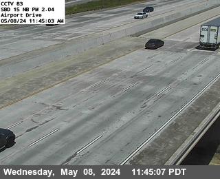
District: 8 Camera ID: 83
Location: I-15 : Airport Drive
View on Google Maps
Direction: North
Elevation: 994
Location: I-15 : Airport Drive
View on Google Maps
Direction: North
Elevation: 994
I-10 near Redlands in San Bernardino County


I-10 near Loma Linda in San Bernardino County


District: 8 Camera ID: 34
Location: I-10 : West of Tippecanoe
View on Google Maps
Direction: East
Elevation: 1053
Location: I-10 : West of Tippecanoe
View on Google Maps
Direction: East
Elevation: 1053
I-10 near San Bernardino in San Bernardino County


District: 8 Camera ID: 33
Location: I-10 : East of Waterman
View on Google Maps
Direction: West
Elevation: 1030
Location: I-10 : East of Waterman
View on Google Maps
Direction: West
Elevation: 1030
I-10 near Fontana in San Bernardino County


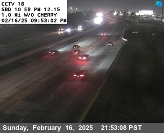
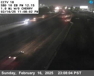
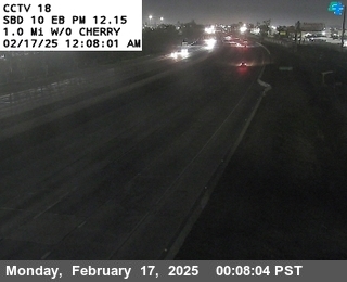
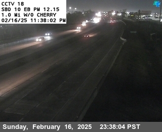

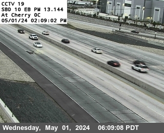
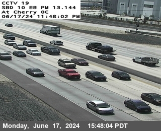
District: 8 Camera ID: 18
Location: I-10 : 1.0 Miles West of Cherry
View on Google Maps
Direction: East
Elevation: 1003
Location: I-10 : 1.0 Miles West of Cherry
View on Google Maps
Direction: East
Elevation: 1003
I-10 near San Bernardino in San Bernardino County


District: 8 Camera ID: 31
Location: I-10 : I-10/I-215 IC NE Quad
View on Google Maps
Direction: North
Elevation: 980
Location: I-10 : I-10/I-215 IC NE Quad
View on Google Maps
Direction: North
Elevation: 980
I-10 near Fontana in San Bernardino County


District: 8 Camera ID: 19
Location: I-10 : West Side Cherry Overcross
View on Google Maps
Direction: East
Elevation: 1030
Location: I-10 : West Side Cherry Overcross
View on Google Maps
Direction: East
Elevation: 1030
I-10 near Colton in San Bernardino County
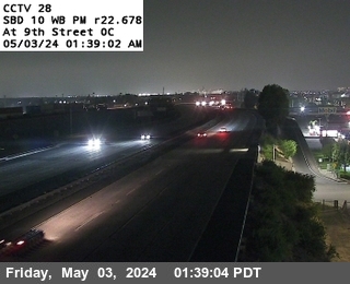


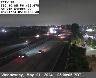
District: 8 Camera ID: 28
Location: I-10 : West Side 9th Street
View on Google Maps
Direction: West
Elevation: 997
Location: I-10 : West Side 9th Street
View on Google Maps
Direction: West
Elevation: 997
I-10 near Ontario in San Bernardino County


District: 8 Camera ID: 15
Location: I-10 : I-15 SW Quad
View on Google Maps
Direction: North
Elevation: 1020
Location: I-10 : I-15 SW Quad
View on Google Maps
Direction: North
Elevation: 1020
I-10 near San Bernardino in San Bernardino County


District: 8 Camera ID: 1400
Location: I-10: (195) E/O TIPPECANOE
View on Google Maps
Direction:
Elevation: 1083
Location: I-10: (195) E/O TIPPECANOE
View on Google Maps
Direction:
Elevation: 1083
I-10 near Redlands in San Bernardino County
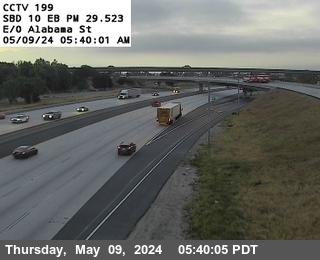


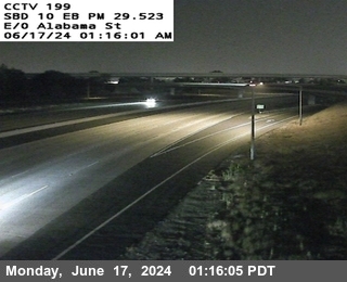
District: 8 Camera ID: 199
Location: I-10 : East of Alabama
View on Google Maps
Direction: East
Elevation: 1272
Location: I-10 : East of Alabama
View on Google Maps
Direction: East
Elevation: 1272
I-10 near Redlands in San Bernardino County
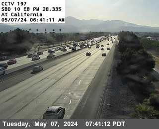


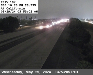
District: 8 Camera ID: 197
Location: I-10 : California
View on Google Maps
Direction: East
Elevation: 1174
Location: I-10 : California
View on Google Maps
Direction: East
Elevation: 1174
I-10 near Colton in San Bernardino County


District: 8 Camera ID: 27
Location: I-10 : East of Rancho
View on Google Maps
Direction: East
Elevation: 997
Location: I-10 : East of Rancho
View on Google Maps
Direction: East
Elevation: 997
I-10 near Fontana in San Bernardino County


District: 8 Camera ID: 20
Location: I-10 : West Side Citrus Overcross
View on Google Maps
Direction: East
Elevation: 1095
Location: I-10 : West Side Citrus Overcross
View on Google Maps
Direction: East
Elevation: 1095
I-10 near Loma Linda in San Bernardino County
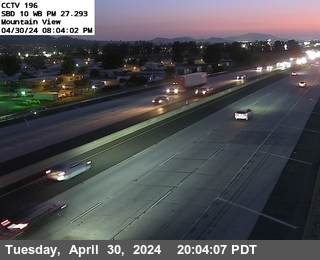


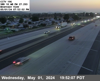
District: 8 Camera ID: 196
Location: I-10 : Mountain View
View on Google Maps
Direction: West
Elevation: 1125
Location: I-10 : Mountain View
View on Google Maps
Direction: West
Elevation: 1125
I-10 near Redlands in San Bernardino County
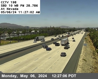


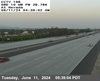
District: 8 Camera ID: 198
Location: I-10 : Nevada Street
View on Google Maps
Direction: West
Elevation: 1200
Location: I-10 : Nevada Street
View on Google Maps
Direction: West
Elevation: 1200
I-10 near Fontana in San Bernardino County


District: 8 Camera ID: 21
Location: I-10 : West Side Sierra Overcross
View on Google Maps
Direction: East
Elevation: 1115
Location: I-10 : West Side Sierra Overcross
View on Google Maps
Direction: East
Elevation: 1115
I-10 near Ontario in San Bernardino County


District: 8 Camera ID: 14
Location: I-10 : East of Milliken
View on Google Maps
Direction: East
Elevation: 990
Location: I-10 : East of Milliken
View on Google Maps
Direction: East
Elevation: 990
I-10 near Ontario in San Bernardino County


District: 8 Camera ID: 12
Location: I-10 : West of Haven
View on Google Maps
Direction: East
Elevation: 980
Location: I-10 : West of Haven
View on Google Maps
Direction: East
Elevation: 980
I-10 near Ontario in San Bernardino County


District: 8 Camera ID: 13
Location: I-10 : West of Milliken
View on Google Maps
Direction: West
Elevation: 980
Location: I-10 : West of Milliken
View on Google Maps
Direction: West
Elevation: 980
I-10 near Ontario in San Bernardino County


District: 8 Camera ID: 11
Location: I-10 : Holt Undercross
View on Google Maps
Direction: West
Elevation: 990
Location: I-10 : Holt Undercross
View on Google Maps
Direction: West
Elevation: 990
I-10 near Bloomington in San Bernardino County


District: 8 Camera ID: 24
Location: I-10 : West Side Riverside
View on Google Maps
Direction: East
Elevation: 1059
Location: I-10 : West Side Riverside
View on Google Maps
Direction: East
Elevation: 1059
I-10 near Colton in San Bernardino County


District: 8 Camera ID: 26
Location: I-10 : West of Rancho
View on Google Maps
Direction: West
Elevation: 1026
Location: I-10 : West of Rancho
View on Google Maps
Direction: West
Elevation: 1026
I-10 near Ontario in San Bernardino County


District: 8 Camera ID: 10
Location: I-10 : East of Vineyard
View on Google Maps
Direction: East
Elevation: 994
Location: I-10 : East of Vineyard
View on Google Maps
Direction: East
Elevation: 994
I-10 near Colton in San Bernardino County


District: 8 Camera ID: 25
Location: I-10 : East Side Pepper Overcross
View on Google Maps
Direction: West
Elevation: 1072
Location: I-10 : East Side Pepper Overcross
View on Google Maps
Direction: West
Elevation: 1072
I-215 near San Bernardino in San Bernardino County
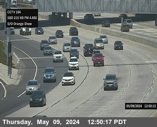


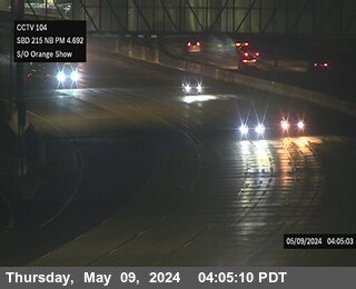
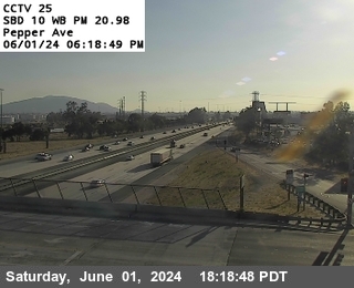
District: 8 Camera ID: 104
Location: I-215 : South Of Orange Show
View on Google Maps
Direction: North
Elevation: 987
Location: I-215 : South Of Orange Show
View on Google Maps
Direction: North
Elevation: 987
I-210 near Redlands in San Bernardino County


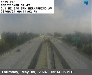
District: 8 Camera ID: 1295
Location: I-210 : (295) East of San Bernardino Avenue
View on Google Maps
Direction: East
Elevation: 1295
Location: I-210 : (295) East of San Bernardino Avenue
View on Google Maps
Direction: East
Elevation: 1295
I-10 near Ontario in San Bernardino County


District: 8 Camera ID: 9
Location: I-10 : (09) 4th Street
View on Google Maps
Direction: East
Elevation: 1056
Location: I-10 : (09) 4th Street
View on Google Maps
Direction: East
Elevation: 1056
I-10 near Montclair in San Bernardino County


District: 8 Camera ID: 1
Location: I-10 : (01) LA County Line
View on Google Maps
Direction: East
Elevation: 1062
Location: I-10 : (01) LA County Line
View on Google Maps
Direction: East
Elevation: 1062
I-10 near Montclair in San Bernardino County


District: 8 Camera ID: 2
Location: I-10 : (02) East of Monte Vista
View on Google Maps
Direction: East
Elevation: 1102
Location: I-10 : (02) East of Monte Vista
View on Google Maps
Direction: East
Elevation: 1102
I-15 near Rancho Cucamonga in San Bernardino County


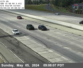
District: 8 Camera ID: 85
Location: I-15 : N of Fourth Street
View on Google Maps
Direction: North
Elevation: 1082
Location: I-15 : N of Fourth Street
View on Google Maps
Direction: North
Elevation: 1082
I-10 near Ontario in San Bernardino County


District: 8 Camera ID: 8
Location: I-10 : (08) West of Grove
View on Google Maps
Direction: West
Elevation: 1105
Location: I-10 : (08) West of Grove
View on Google Maps
Direction: West
Elevation: 1105
I-10 near Montclair in San Bernardino County


District: 8 Camera ID: 3
Location: I-10 : (03) Central
View on Google Maps
Direction: East
Elevation: 1131
Location: I-10 : (03) Central
View on Google Maps
Direction: East
Elevation: 1131
I-10 near Ontario in San Bernardino County


District: 8 Camera ID: 6
Location: I-10 : (06) West of Euclid
View on Google Maps
Direction: East
Elevation: 1158
Location: I-10 : (06) West of Euclid
View on Google Maps
Direction: East
Elevation: 1158
I-15 near Rancho Cucamonga in San Bernardino County


District: 8 Camera ID: 86
Location: I-15 : Arrow Route
View on Google Maps
Direction: North
Elevation: 1138
Location: I-15 : Arrow Route
View on Google Maps
Direction: North
Elevation: 1138
I-15 near Rancho Cucamonga in San Bernardino County
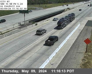


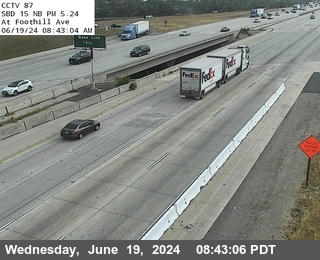
District: 8 Camera ID: 87
Location: I-15 : Foothill Blvd.
View on Google Maps
Direction: North
Elevation: 1230
Location: I-15 : Foothill Blvd.
View on Google Maps
Direction: North
Elevation: 1230
I-210 near E. Fifth St in San Bernardino County


District: 8 Camera ID: 1409
Location: I-210: (293) Greenspot / Fifth St
View on Google Maps
Direction: East
Elevation: 1223.75
Location: I-210: (293) Greenspot / Fifth St
View on Google Maps
Direction: East
Elevation: 1223.75
I-15 near Rancho Cucamonga in San Bernardino County
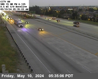


District: 8 Camera ID: 88
Location: I-15 : 0.5 Miles S of Baseline
View on Google Maps
Direction: North
Elevation: 1276
Location: I-15 : 0.5 Miles S of Baseline
View on Google Maps
Direction: North
Elevation: 1276
I-210 near Baseline St Onramp in San Bernardino County


District: 8 Camera ID: 1408
Location: I-210: (292) Baseline St
View on Google Maps
Direction: West
Elevation: 1272.97
Location: I-210: (292) Baseline St
View on Google Maps
Direction: West
Elevation: 1272.97
I-15 near Fontana in San Bernardino County


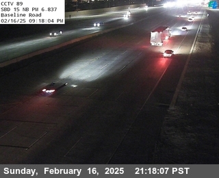


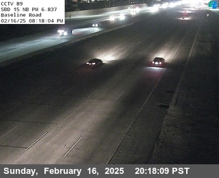
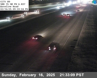
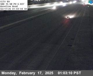
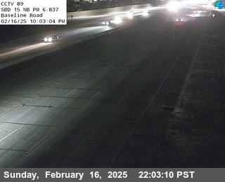
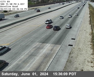
District: 8 Camera ID: 89
Location: I-15 : Baseline Road
View on Google Maps
Direction: North
Elevation: 1318
Location: I-15 : Baseline Road
View on Google Maps
Direction: North
Elevation: 1318
I-210 near Upland in San Bernardino County


District: 8 Camera ID: 108
Location: I-210 : 0.1 Miles East of County Line
View on Google Maps
Direction: East
Elevation: 1597
Location: I-210 : 0.1 Miles East of County Line
View on Google Maps
Direction: East
Elevation: 1597
I-15 near Fontana in San Bernardino County


District: 8 Camera ID: 90
Location: I-15 : 0.5 Miles S of I-210
View on Google Maps
Direction: North
Elevation: 1348
Location: I-15 : 0.5 Miles S of I-210
View on Google Maps
Direction: North
Elevation: 1348
I-210 near Upland in San Bernardino County


District: 8 Camera ID: 109
Location: I-210 : 0.8 Miles East of County Line
View on Google Maps
Direction: East
Elevation: 1712
Location: I-210 : 0.8 Miles East of County Line
View on Google Maps
Direction: East
Elevation: 1712
I-15 near Fontana in San Bernardino County


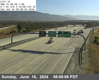
District: 8 Camera ID: 91
Location: I-15 : 0.1 Miles S of I-210
View on Google Maps
Direction: North
Elevation: 1368
Location: I-15 : 0.1 Miles S of I-210
View on Google Maps
Direction: North
Elevation: 1368
I-210 near Highland in San Bernardino County
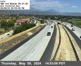


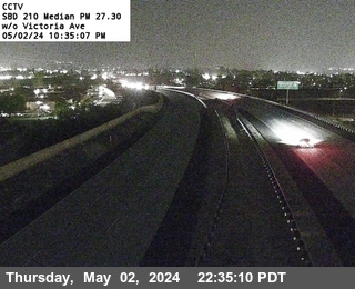
District: 8 Camera ID: 369
Location: I-210 : West of Victoria Avenue
View on Google Maps
Direction: West
Elevation: 1236
Location: I-210 : West of Victoria Avenue
View on Google Maps
Direction: West
Elevation: 1236
I-15 near Fontana in San Bernardino County
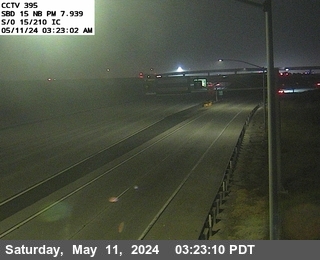


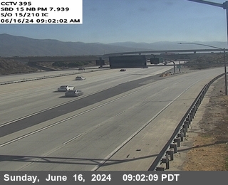
District: 8 Camera ID: 1375
Location: I-15 : (395) S/O 15-210 IC
View on Google Maps
Direction: North
Elevation: 1519
Location: I-15 : (395) S/O 15-210 IC
View on Google Maps
Direction: North
Elevation: 1519
I-210 near Rialto in San Bernardino County
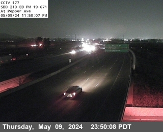


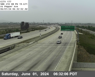
District: 8 Camera ID: 177
Location: I-210 : 0.5 Miles East Of Riverside
View on Google Maps
Direction: East
Elevation: 1292
Location: I-210 : 0.5 Miles East Of Riverside
View on Google Maps
Direction: East
Elevation: 1292
I-210 near Upland in San Bernardino County


District: 8 Camera ID: 110
Location: I-210 : Mountain Avenue
View on Google Maps
Direction: East
Elevation: 1738
Location: I-210 : Mountain Avenue
View on Google Maps
Direction: East
Elevation: 1738
I-210 near Upland in San Bernardino County
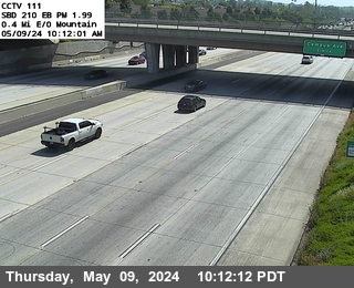


District: 8 Camera ID: 111
Location: I-210 : 0.4 Miles East of Mountain
View on Google Maps
Direction: East
Elevation: 1696
Location: I-210 : 0.4 Miles East of Mountain
View on Google Maps
Direction: East
Elevation: 1696
I-210 near Upland in San Bernardino County
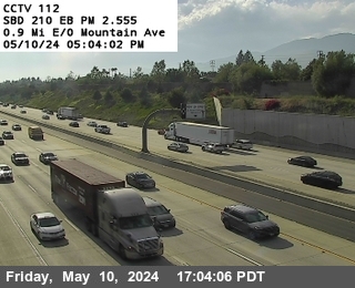


District: 8 Camera ID: 112
Location: I-210 : 0.9 Miles East of Mountain
View on Google Maps
Direction: East
Elevation: 1646
Location: I-210 : 0.9 Miles East of Mountain
View on Google Maps
Direction: East
Elevation: 1646
I-210 near Rancho Cucamonga in San Bernardino County
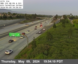


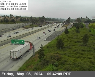
District: 8 Camera ID: 114
Location: I-210 : West of Carnelian
View on Google Maps
Direction: East
Elevation: 1617
Location: I-210 : West of Carnelian
View on Google Maps
Direction: East
Elevation: 1617
I-210 near San Bernardino in San Bernardino County
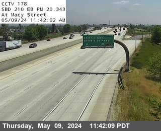


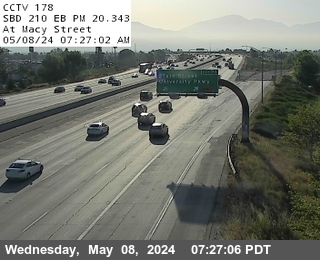
District: 8 Camera ID: 178
Location: I-210 : West of Macy
View on Google Maps
Direction: East
Elevation: 1259
Location: I-210 : West of Macy
View on Google Maps
Direction: East
Elevation: 1259
I-210 near Upland in San Bernardino County
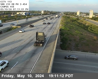


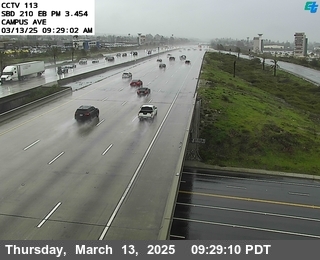
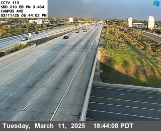

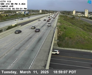
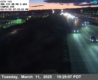
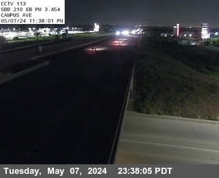
I-210 near Rancho Cucamonga in San Bernardino County
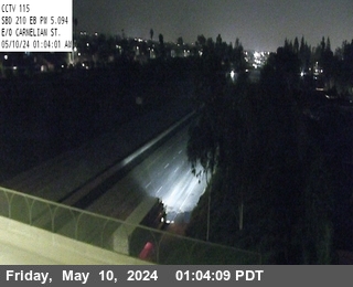


District: 8 Camera ID: 115
Location: I-210 : East Of Carnelian
View on Google Maps
Direction: East
Elevation: 1561
Location: I-210 : East Of Carnelian
View on Google Maps
Direction: East
Elevation: 1561
I-210 near Rancho Cucamonga in San Bernardino County
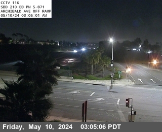


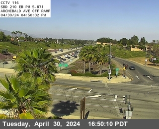
District: 8 Camera ID: 116
Location: I-210 : Archibald
View on Google Maps
Direction: East
Elevation: 1532
Location: I-210 : Archibald
View on Google Maps
Direction: East
Elevation: 1532
I-210 near Rialto in San Bernardino County
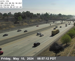


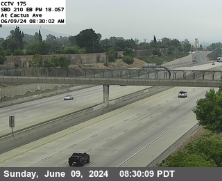
District: 8 Camera ID: 175
Location: I-210 : East of Cactus
View on Google Maps
Direction: East
Elevation: 1433
Location: I-210 : East of Cactus
View on Google Maps
Direction: East
Elevation: 1433
I-210 near Rialto in San Bernardino County
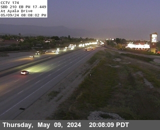


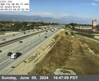
I-210 near Rialto in San Bernardino County
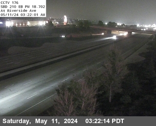


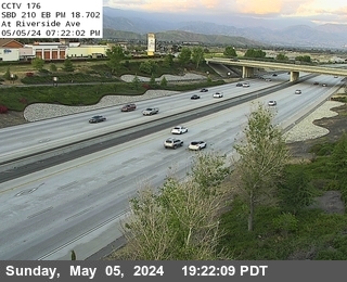
District: 8 Camera ID: 176
Location: I-210 : Riverside
View on Google Maps
Direction: East
Elevation: 1410
Location: I-210 : Riverside
View on Google Maps
Direction: East
Elevation: 1410
I-210 near Rancho Cucamonga in San Bernardino County
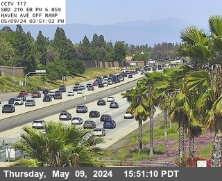


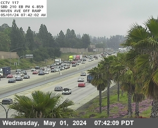
I-210 near San Bernardino in San Bernardino County
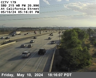


District: 8 Camera ID: 179
Location: I-210 : California
View on Google Maps
Direction: West
Elevation: 1263
Location: I-210 : California
View on Google Maps
Direction: West
Elevation: 1263
I-210 near Rialto in San Bernardino County
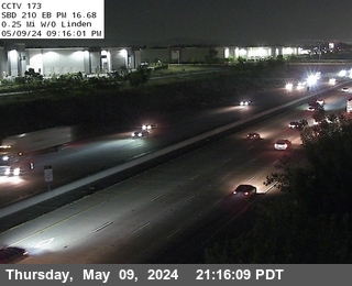


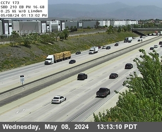
District: 8 Camera ID: 173
Location: I-210 : 0.25 Miles West of Linden
View on Google Maps
Direction: East
Elevation: 1492
Location: I-210 : 0.25 Miles West of Linden
View on Google Maps
Direction: East
Elevation: 1492
I-210 near Fontana in San Bernardino County
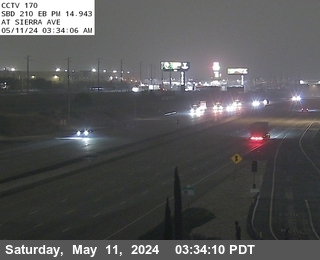


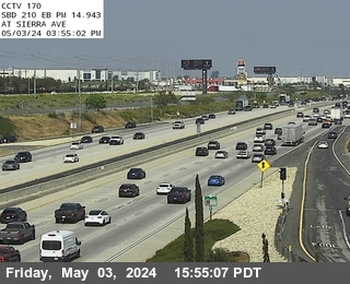
I-210 near Rancho Cucamonga in San Bernardino County
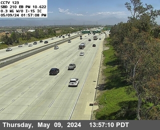


District: 8 Camera ID: 123
Location: I-210 : 0.3 Miles West of I-15
View on Google Maps
Direction: East
Elevation: 1410
Location: I-210 : 0.3 Miles West of I-15
View on Google Maps
Direction: East
Elevation: 1410
I-210 near Fontana in San Bernardino County


I-210 near Rancho Cucamonga in San Bernardino County


District: 8 Camera ID: 122
Location: I-210 : East of Day Creek
View on Google Maps
Direction: East
Elevation: 1443
Location: I-210 : East of Day Creek
View on Google Maps
Direction: East
Elevation: 1443
I-210 near Fontana in San Bernardino County
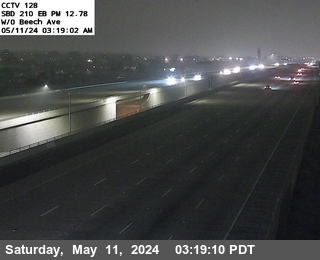


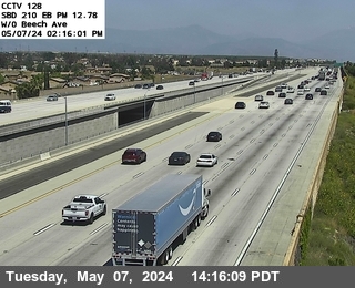
District: 8 Camera ID: 128
Location: I-210 : West of Beech
View on Google Maps
Direction: East
Elevation: 1469
Location: I-210 : West of Beech
View on Google Maps
Direction: East
Elevation: 1469
I-210 near Rancho Cucamonga in San Bernardino County
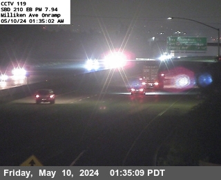


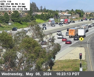
District: 8 Camera ID: 119
Location: I-210 : Milliken Avenue
View on Google Maps
Direction: East
Elevation: 1515
Location: I-210 : Milliken Avenue
View on Google Maps
Direction: East
Elevation: 1515
I-210 near Rancho Cucamonga in San Bernardino County
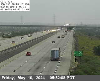


District: 8 Camera ID: 124
Location: I-210 : 0.2 Miles East of I-15
View on Google Maps
Direction: East
Elevation: 1400
Location: I-210 : 0.2 Miles East of I-15
View on Google Maps
Direction: East
Elevation: 1400
I-210 near Rancho Cucamonga in San Bernardino County


District: 8 Camera ID: 126
Location: I-210 : Cherry Avenue
View on Google Maps
Direction: East
Elevation: 1400
Location: I-210 : Cherry Avenue
View on Google Maps
Direction: East
Elevation: 1400
I-210 near Rialto in San Bernardino County


District: 8 Camera ID: 172
Location: I-210 : 0.1 Miles East of Alder
View on Google Maps
Direction: East
Elevation: 1509
Location: I-210 : 0.1 Miles East of Alder
View on Google Maps
Direction: East
Elevation: 1509
I-210 near Fontana in San Bernardino County
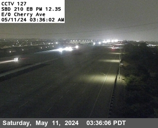


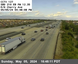
District: 8 Camera ID: 127
Location: I-210 : East of Cherry Avenue
View on Google Maps
Direction: East
Elevation: 1414
Location: I-210 : East of Cherry Avenue
View on Google Maps
Direction: East
Elevation: 1414
I-210 near Fontana in San Bernardino County
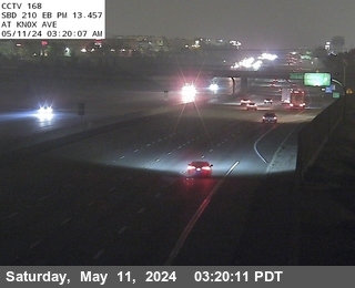


District: 8 Camera ID: 168
Location: I-210 : At Knox Ave
View on Google Maps
Direction: East
Elevation: 1502
Location: I-210 : At Knox Ave
View on Google Maps
Direction: East
Elevation: 1502
I-210 near Rancho Cucamonga in San Bernardino County
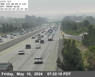


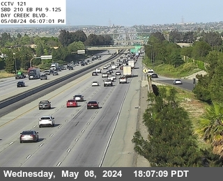
District: 8 Camera ID: 121
Location: I-210 : Day Creek
View on Google Maps
Direction: East
Elevation: 1479
Location: I-210 : Day Creek
View on Google Maps
Direction: East
Elevation: 1479
I-210 near Rancho Cucamonga in San Bernardino County
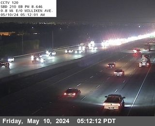


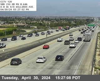
District: 8 Camera ID: 120
Location: I-210 : 0.8 Miles East of Milliken
View on Google Maps
Direction: East
Elevation: 1522
Location: I-210 : 0.8 Miles East of Milliken
View on Google Maps
Direction: East
Elevation: 1522
I-210 near Rancho Cucamonga in San Bernardino County
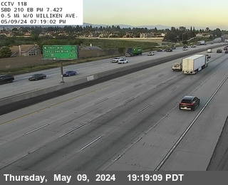


District: 8 Camera ID: 118
Location: I-210 : 0.5 Miles West of Milliken
View on Google Maps
Direction: East
Elevation: 1502
Location: I-210 : 0.5 Miles West of Milliken
View on Google Maps
Direction: East
Elevation: 1502
I-210 near San Bernardino in San Bernardino County


District: 8 Camera ID: 368
Location: I-210 : West of Highland Avenue
View on Google Maps
Direction: East
Elevation: 1250
Location: I-210 : West of Highland Avenue
View on Google Maps
Direction: East
Elevation: 1250
I-210 near Rialto in San Bernardino County
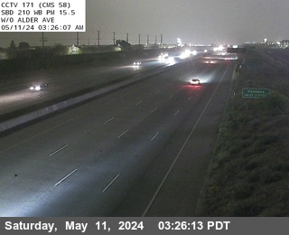


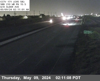
District: 8 Camera ID: 171
Location: I-210 : West of Alder
View on Google Maps
Direction: West
Elevation: 1532
Location: I-210 : West of Alder
View on Google Maps
Direction: West
Elevation: 1532
I-210 near Fontana in San Bernardino County
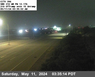


District: 8 Camera ID: 1376
Location: I-210 : (396) 210 Offramp onto 15 Onramp
View on Google Maps
Direction: West
Elevation: 1519
Location: I-210 : (396) 210 Offramp onto 15 Onramp
View on Google Maps
Direction: West
Elevation: 1519
I-210 near San Bernardino in San Bernardino County
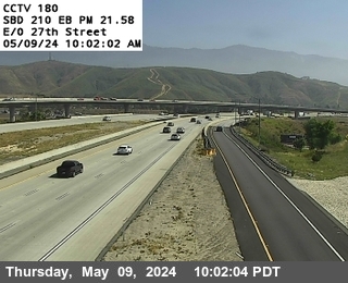


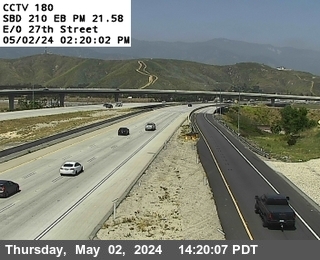
District: 8 Camera ID: 180
Location: I-210 : East of 27th
View on Google Maps
Direction: East
Elevation: 1276
Location: I-210 : East of 27th
View on Google Maps
Direction: East
Elevation: 1276
I-15 near Fontana in San Bernardino County
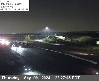


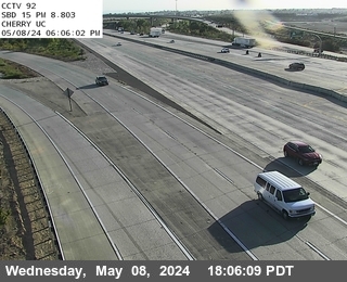
District: 8 Camera ID: 92
Location: I-15 : Cherry Undercross
View on Google Maps
Direction: North
Elevation: 1450
Location: I-15 : Cherry Undercross
View on Google Maps
Direction: North
Elevation: 1450
I-210 near San Bernardino in San Bernardino County
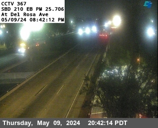


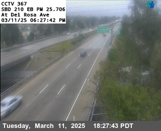
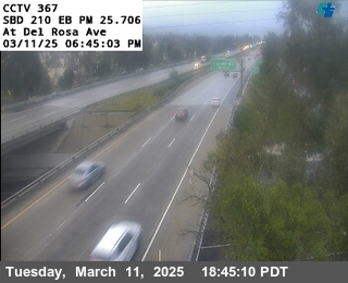
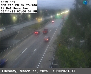
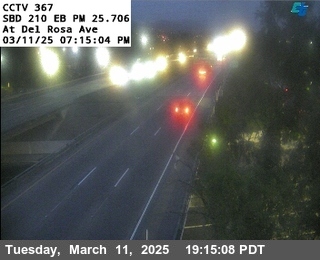

District: 8 Camera ID: 367
Location: I-210 : Del Rosa Ave Off Ramp
View on Google Maps
Direction: East
Elevation: 1223
Location: I-210 : Del Rosa Ave Off Ramp
View on Google Maps
Direction: East
Elevation: 1223
I-210 near San Bernardino in San Bernardino County


District: 8 Camera ID: 1366
Location: I-210: (366) East of Waterman Avenue
View on Google Maps
Direction: East
Elevation: 1230
Location: I-210: (366) East of Waterman Avenue
View on Google Maps
Direction: East
Elevation: 1230
I-210 near San Bernardino in San Bernardino County


District: 8 Camera ID: 1365
Location: I-210: (365) Waterman Ave
View on Google Maps
Direction: East
Elevation: 1220
Location: I-210: (365) Waterman Ave
View on Google Maps
Direction: East
Elevation: 1220
I-210 near San Bernardino in San Bernardino County
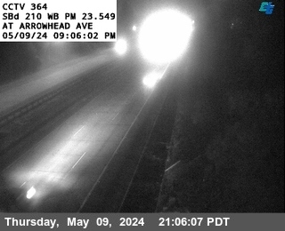


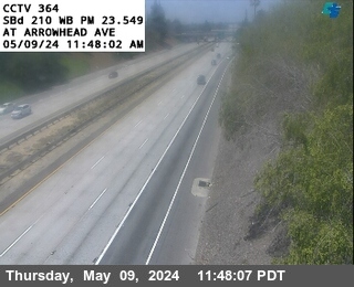
District: 8 Camera ID: 1364
Location: I-210: (364) Arrowhead Ave
View on Google Maps
Direction: West
Elevation: 1220
Location: I-210: (364) Arrowhead Ave
View on Google Maps
Direction: West
Elevation: 1220
I-210 near San Bernardino in San Bernardino County


District: 8 Camera ID: 182
Location: I-210 : At H Street
View on Google Maps
Direction: West
Elevation: 1194
Location: I-210 : At H Street
View on Google Maps
Direction: West
Elevation: 1194
I-15 near Fontana in San Bernardino County


District: 8 Camera ID: 94
Location: I-15 : North Of Summit
View on Google Maps
Direction: South
Elevation: 1620
Location: I-15 : North Of Summit
View on Google Maps
Direction: South
Elevation: 1620
I-15 near Fontana in San Bernardino County
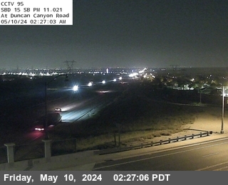


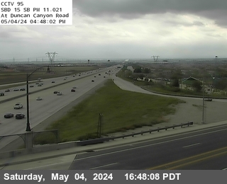
District: 8 Camera ID: 95
Location: I-15 : Duncan Canyon
View on Google Maps
Direction: South
Elevation: 1755
Location: I-15 : Duncan Canyon
View on Google Maps
Direction: South
Elevation: 1755
I-215 near San Bernardino in San Bernardino County
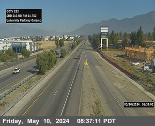


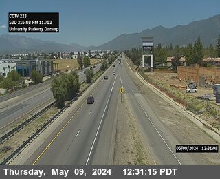
District: 8 Camera ID: 223
Location: I-215 : Onramp University Parkway
View on Google Maps
Direction: North
Elevation: 1463
Location: I-215 : Onramp University Parkway
View on Google Maps
Direction: North
Elevation: 1463
I-15 near Fontana in San Bernardino County


District: 8 Camera ID: 96
Location: I-15 : 0.5 Miles S of Sierra
View on Google Maps
Direction: North
Elevation: 1827
Location: I-15 : 0.5 Miles S of Sierra
View on Google Maps
Direction: North
Elevation: 1827
I-215 near San Bernardino in San Bernardino County


District: 8 Camera ID: 224
Location: I-215 : 1 Mi N/O University Parkway
View on Google Maps
Direction: North
Elevation: 1545
Location: I-215 : 1 Mi N/O University Parkway
View on Google Maps
Direction: North
Elevation: 1545
I-15 near Fontana in San Bernardino County


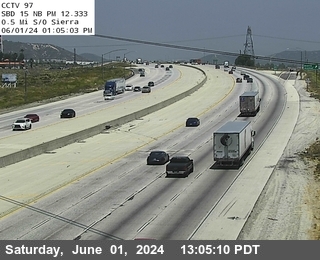
District: 8 Camera ID: 97
Location: I-15 : 0.1 Miles S of Sierra
View on Google Maps
Direction: North
Elevation: 1952
Location: I-15 : 0.1 Miles S of Sierra
View on Google Maps
Direction: North
Elevation: 1952
I-15 near Rialto in San Bernardino County
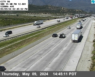


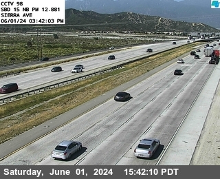
District: 8 Camera ID: 98
Location: I-15 : Sierra Avenue
View on Google Maps
Direction: North
Elevation: 2011
Location: I-15 : Sierra Avenue
View on Google Maps
Direction: North
Elevation: 2011
I-15 near San Bernardino in San Bernardino County
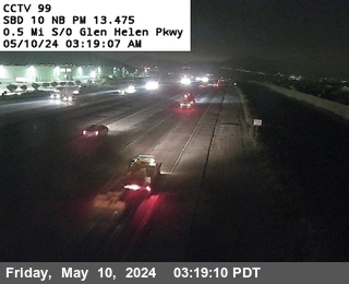


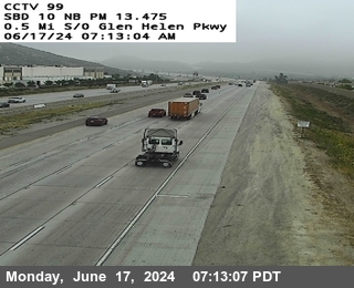
District: 8 Camera ID: 99
Location: I-15 : 0.5 Miles S of Glenhelen
View on Google Maps
Direction: North
Elevation: 2024
Location: I-15 : 0.5 Miles S of Glenhelen
View on Google Maps
Direction: North
Elevation: 2024
I-215 near San Bernardino in San Bernardino County
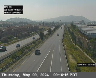


District: 8 Camera ID: 226
Location: I-215 : Onramp Palm Ave SB
View on Google Maps
Direction: North
Elevation: 1689
Location: I-215 : Onramp Palm Ave SB
View on Google Maps
Direction: North
Elevation: 1689
I-215 near San Bernardino in San Bernardino County
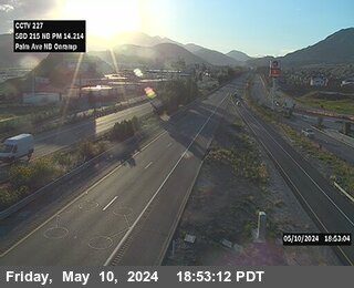


District: 8 Camera ID: 227
Location: I-15 : Onramp Palm Ave NB
View on Google Maps
Direction: South
Elevation: 1722
Location: I-15 : Onramp Palm Ave NB
View on Google Maps
Direction: South
Elevation: 1722
I-15 near San Bernardino in San Bernardino County
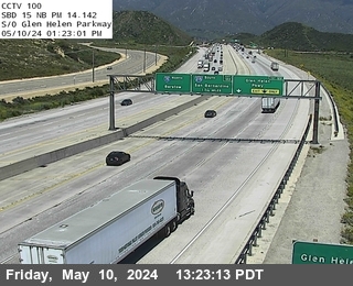


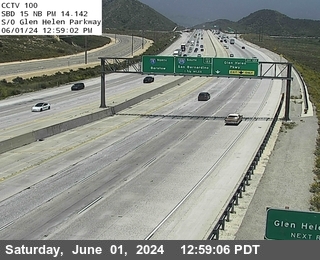
District: 8 Camera ID: 100
Location: I-15 : S of Glen Helen Parkway
View on Google Maps
Direction: North
Elevation: 1968
Location: I-15 : S of Glen Helen Parkway
View on Google Maps
Direction: North
Elevation: 1968
I-215 near San Bernardino in San Bernardino County
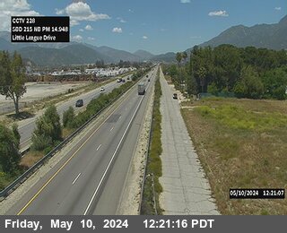


District: 8 Camera ID: 228
Location: I-215 : Little League Drive
View on Google Maps
Direction: South
Elevation: 1797
Location: I-215 : Little League Drive
View on Google Maps
Direction: South
Elevation: 1797
I-15 near San Bernardino in San Bernardino County
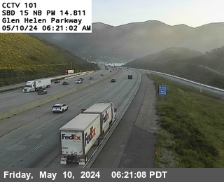


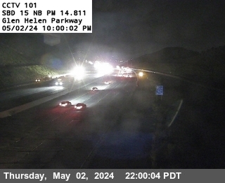
District: 8 Camera ID: 101
Location: I-15 : Glen Helen Parkway
View on Google Maps
Direction: North
Elevation: 2057
Location: I-15 : Glen Helen Parkway
View on Google Maps
Direction: North
Elevation: 2057
I-215 near Devore in San Bernardino County
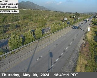


District: 8 Camera ID: 1374
Location: I-215 : (273) South Of Devore Road
View on Google Maps
Direction: South
Elevation: 580
Location: I-215 : (273) South Of Devore Road
View on Google Maps
Direction: South
Elevation: 580
I-215 near San Bernardino in San Bernardino County
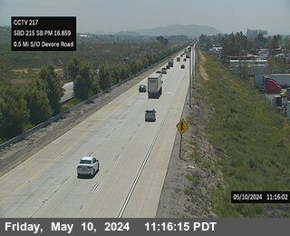


District: 8 Camera ID: 217
Location: I-215 : 0.5 Mi South of Devore
View on Google Maps
Direction: South
Elevation: 2004
Location: I-215 : 0.5 Mi South of Devore
View on Google Maps
Direction: South
Elevation: 2004
I-215 near San Bernardino in San Bernardino County
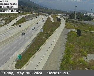


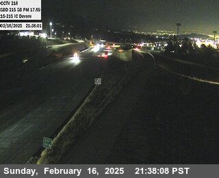

District: 8 Camera ID: 218
Location: I-215 : 15-215 IC Devore
View on Google Maps
Direction: South
Elevation: 2155
Location: I-215 : 15-215 IC Devore
View on Google Maps
Direction: South
Elevation: 2155
SR-18 near San Bernardino in San Bernardino County


District: 8 Camera ID: 125
Location: SR-18 : Lake Gregory
View on Google Maps
Direction: East
Elevation: 5141
Location: SR-18 : Lake Gregory
View on Google Maps
Direction: East
Elevation: 5141
I-15 near San Bernardino in San Bernardino County


District: 8 Camera ID: 219
Location: I-15 : 0.6mi South Of Kenwood
View on Google Maps
Direction: South
Elevation: 2290
Location: I-15 : 0.6mi South Of Kenwood
View on Google Maps
Direction: South
Elevation: 2290
SR-138 near Crestline in San Bernardino County
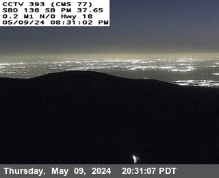


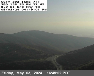
District: 8 Camera ID: 1368
Location: SR138 : (393) N/O Hwy 18
View on Google Maps
Direction: South
Elevation: 4521
Location: SR138 : (393) N/O Hwy 18
View on Google Maps
Direction: South
Elevation: 4521
I-15 near San Bernardino in San Bernardino County


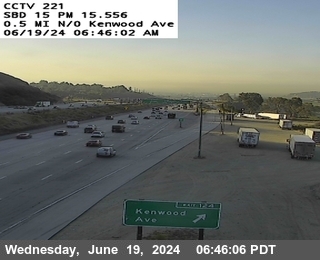
District: 8 Camera ID: 221
Location: I-15 : 0.5mi n/o Kenwood
View on Google Maps
Direction: South
Elevation: 2503
Location: I-15 : 0.5mi n/o Kenwood
View on Google Maps
Direction: South
Elevation: 2503
I-15 near San Bernardino in San Bernardino County


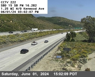
District: 8 Camera ID: 222
Location: I-15 : 1.25mi Kenwood
View on Google Maps
Direction: South
Elevation: 2634
Location: I-15 : 1.25mi Kenwood
View on Google Maps
Direction: South
Elevation: 2634
I-15 near Phelan in San Bernardino County
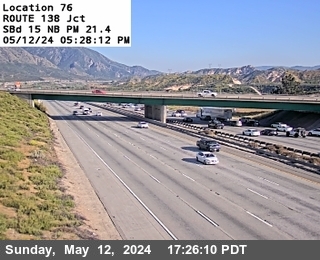


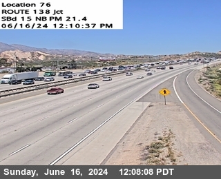
District: 8 Camera ID: 590
Location: I-15 : Jct. 138
View on Google Maps
Direction: North
Elevation: 3143
Location: I-15 : Jct. 138
View on Google Maps
Direction: North
Elevation: 3143
I-15 near Phelan in San Bernardino County


District: 8 Camera ID: 130
Location: I-15 : 3.6 Miles South of Oak Hill Road
View on Google Maps
Direction: South
Elevation: 4094
Location: I-15 : 3.6 Miles South of Oak Hill Road
View on Google Maps
Direction: South
Elevation: 4094
I-15 near Phelan in San Bernardino County
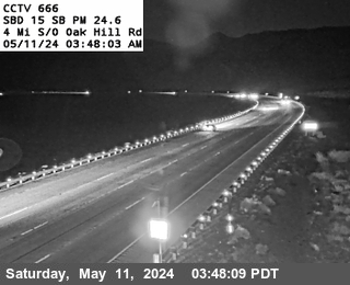


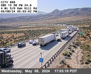
District: 8 Camera ID: 666
Location: I-15 : Brake Check Rd
View on Google Maps
Direction: South
Elevation: 4012
Location: I-15 : Brake Check Rd
View on Google Maps
Direction: South
Elevation: 4012
SR-2 near Wrightwood in San Bernardino County
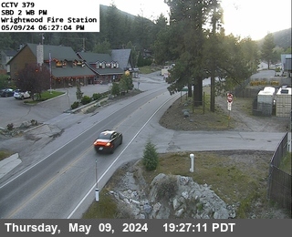


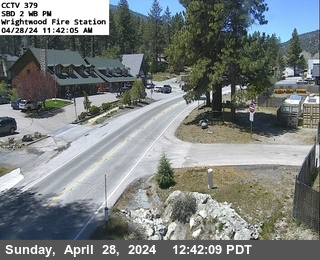
District: 8 Camera ID: 379
Location: SR-2 : Wrightwood Fire Station
View on Google Maps
Direction: West
Elevation: 5921
Location: SR-2 : Wrightwood Fire Station
View on Google Maps
Direction: West
Elevation: 5921
SR-138 near Phelan in San Bernardino County
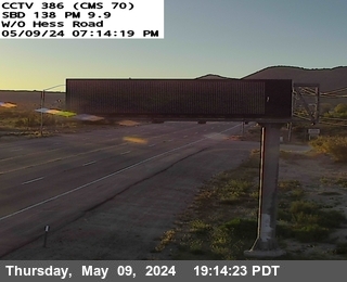


District: 8 Camera ID: 673
Location: SR-138 : (386) West of Hess
View on Google Maps
Direction: West
Elevation: 3976
Location: SR-138 : (386) West of Hess
View on Google Maps
Direction: West
Elevation: 3976
SR-138 near Phelan in San Bernardino County
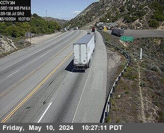


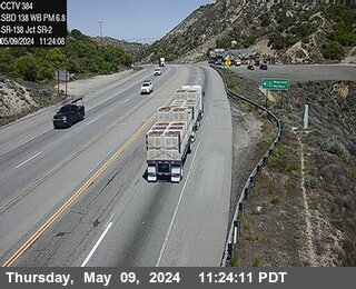
District: 8 Camera ID: 671
Location: SR-138 : (384) 0.15 Miles East of SR-2
View on Google Maps
Direction: West
Elevation: 4819
Location: SR-138 : (384) 0.15 Miles East of SR-2
View on Google Maps
Direction: West
Elevation: 4819
I-15 near Victorville in San Bernardino County
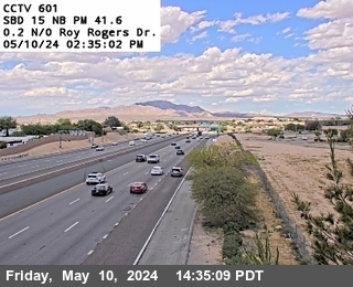


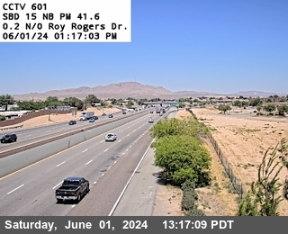
District: 8 Camera ID: 601
Location: I-15 : Roy Rogers Dr.
View on Google Maps
Direction: North
Elevation: 2929
Location: I-15 : Roy Rogers Dr.
View on Google Maps
Direction: North
Elevation: 2929
I-15 near Apple Valley in San Bernardino County
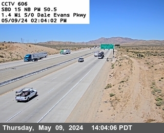


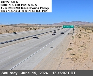
District: 8 Camera ID: 606
Location: I-15 : Dale Evans Parkway
View on Google Maps
Direction: North
Elevation: 3169
Location: I-15 : Dale Evans Parkway
View on Google Maps
Direction: North
Elevation: 3169
I-40 in San Bernardino County
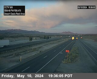


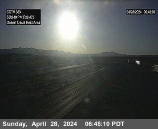
District: 8 Camera ID: 383
Location: I-40 : At Desert Oasis Rest Area
View on Google Maps
Direction: East
Elevation: 1802
Location: I-40 : At Desert Oasis Rest Area
View on Google Maps
Direction: East
Elevation: 1802
I-15 near Barstow in San Bernardino County


District: 8 Camera ID: 1371
Location: I-15 : (614) South of Lenwood Road
View on Google Maps
Direction: North
Elevation: 2440
Location: I-15 : (614) South of Lenwood Road
View on Google Maps
Direction: North
Elevation: 2440
I-15 near Barstow in San Bernardino County


District: 8 Camera ID: 617
Location: I-15 : N/O L St
View on Google Maps
Direction: North
Elevation: 2349
Location: I-15 : N/O L St
View on Google Maps
Direction: North
Elevation: 2349
I-15 near Baker in San Bernardino County
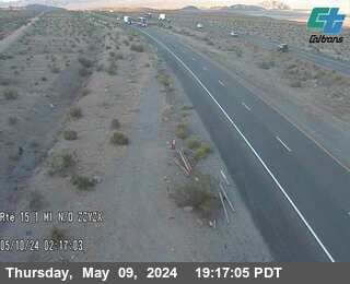


District: 8 Camera ID: 641
Location: I-15 : Tork Ditch
View on Google Maps
Direction: North
Elevation: 1125
Location: I-15 : Tork Ditch
View on Google Maps
Direction: North
Elevation: 1125
I-15 near Baker in San Bernardino County
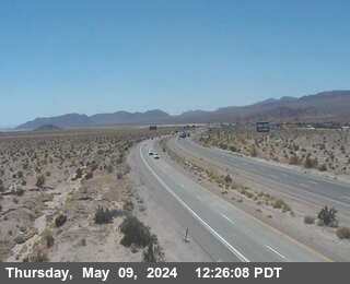


District: 8 Camera ID: 644
Location: I-15 : North Baker Blvd OC
View on Google Maps
Direction: North
Elevation: 1056
Location: I-15 : North Baker Blvd OC
View on Google Maps
Direction: North
Elevation: 1056
I-15 near Baker in San Bernardino County
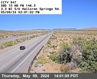


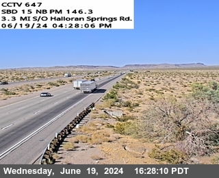
District: 8 Camera ID: 647
Location: I-15 : Halloran Wash
View on Google Maps
Direction: North
Elevation: 2286
Location: I-15 : Halloran Wash
View on Google Maps
Direction: North
Elevation: 2286
I-15 near Not Reported in San Bernardino County


District: 8 Camera ID: 650
Location: I-15 : s/o Halloran
View on Google Maps
Direction: North
Elevation: 3884
Location: I-15 : s/o Halloran
View on Google Maps
Direction: North
Elevation: 3884
I-15 near Mountain Pass in San Bernardino County
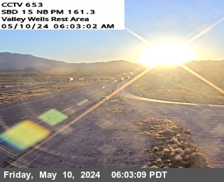


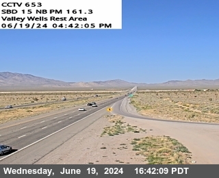
District: 8 Camera ID: 653
Location: I-15 : ValleyWells RST
View on Google Maps
Direction: North
Elevation: 3694
Location: I-15 : ValleyWells RST
View on Google Maps
Direction: North
Elevation: 3694
I-15 near Nipton in San Bernardino County
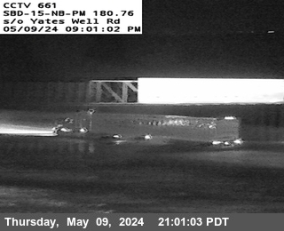


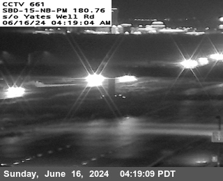
District: 8 Camera ID: 661
Location: I-15 : s/o Yates Well
View on Google Maps
Direction: North
Elevation: 2670
Location: I-15 : s/o Yates Well
View on Google Maps
Direction: North
Elevation: 2670