California Highway I-10 Real Time Traffic Cameras
I-10 near Santa Monica in Los Angeles County
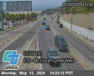


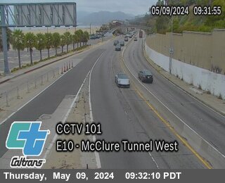
District: 7 Camera ID: 983
Location: I-10 : (101) McClure-West
View on Google Maps
Direction: East
Elevation: 95
Location: I-10 : (101) McClure-West
View on Google Maps
Direction: East
Elevation: 95
I-10 near Santa Monica in Los Angeles County
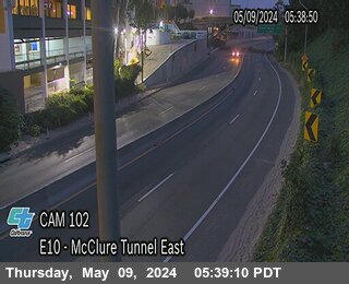


District: 7 Camera ID: 986
Location: I-10 : (102) Ocean Ave
View on Google Maps
Direction: East
Elevation: 65
Location: I-10 : (102) Ocean Ave
View on Google Maps
Direction: East
Elevation: 65
I-10 near Culver City in Los Angeles County
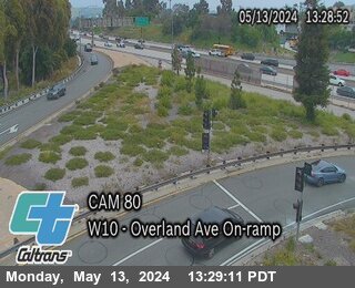


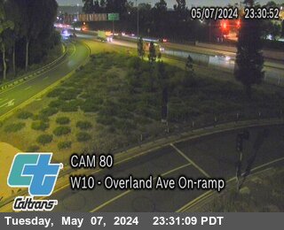
District: 7 Camera ID: 974
Location: I-10 : (80) Overland Ave On-Ramp
View on Google Maps
Direction: West
Elevation: 95
Location: I-10 : (80) Overland Ave On-Ramp
View on Google Maps
Direction: West
Elevation: 95
I-10 near Culver City in Los Angeles County
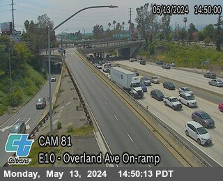


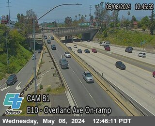
District: 7 Camera ID: 975
Location: I-10 : (81) Overland Ave On-Ramp
View on Google Maps
Direction: East
Elevation: 95
Location: I-10 : (81) Overland Ave On-Ramp
View on Google Maps
Direction: East
Elevation: 95
I-10 near Mid City in Los Angeles County
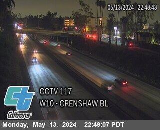


District: 7 Camera ID: 1005
Location: I-10 : (117) Crenshaw Blvd
View on Google Maps
Direction: West
Elevation: 95
Location: I-10 : (117) Crenshaw Blvd
View on Google Maps
Direction: West
Elevation: 95
I-10 near Culver City in Los Angeles County
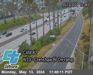


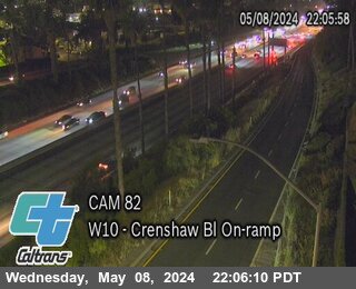
District: 7 Camera ID: 976
Location: I-10 : (82) Crenshaw Blvd On-Ramp
View on Google Maps
Direction: West
Elevation: 95
Location: I-10 : (82) Crenshaw Blvd On-Ramp
View on Google Maps
Direction: West
Elevation: 95
I-10 near Culver City in Los Angeles County
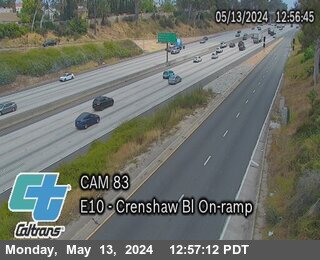


District: 7 Camera ID: 977
Location: I-10 : (83) Crenshaw Blvd On-Ramp
View on Google Maps
Direction: East
Elevation: 95
Location: I-10 : (83) Crenshaw Blvd On-Ramp
View on Google Maps
Direction: East
Elevation: 95
I-10 near Culver City in Los Angeles County


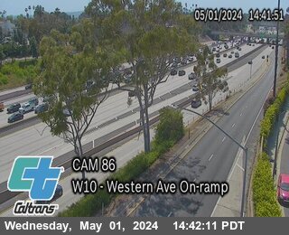
District: 7 Camera ID: 978
Location: I-10 : (86) Western Ave On-Ramp
View on Google Maps
Direction: West
Elevation: 95
Location: I-10 : (86) Western Ave On-Ramp
View on Google Maps
Direction: West
Elevation: 95
I-10 near Culver city in Los Angeles County
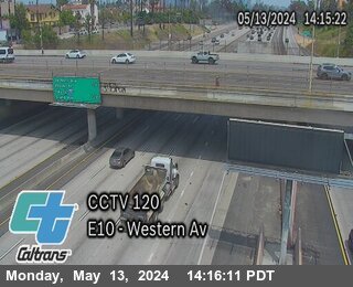


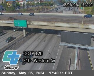
District: 7 Camera ID: 973
Location: I-10 : (120) Western Avenue
View on Google Maps
Direction: East
Elevation: 213
Location: I-10 : (120) Western Avenue
View on Google Maps
Direction: East
Elevation: 213
I-10 near Culver City in Los Angeles County


District: 7 Camera ID: 979
Location: I-10 : (87) Western Ave On-Ramp
View on Google Maps
Direction: East
Elevation: 95
Location: I-10 : (87) Western Ave On-Ramp
View on Google Maps
Direction: East
Elevation: 95
I-10 near Culver City in Los Angeles County
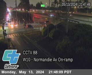


District: 7 Camera ID: 980
Location: I-10 : (88) Normandie Ave On-Ramp
View on Google Maps
Direction: West
Elevation: 95
Location: I-10 : (88) Normandie Ave On-Ramp
View on Google Maps
Direction: West
Elevation: 95
I-10 near Culver City in Los Angeles County
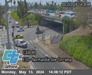


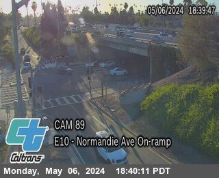
District: 7 Camera ID: 987
Location: I-10 : (89) Normandie Ave On-Ramp
View on Google Maps
Direction: East
Elevation: 95
Location: I-10 : (89) Normandie Ave On-Ramp
View on Google Maps
Direction: East
Elevation: 95
I-10 near Culver City in Los Angeles County


District: 7 Camera ID: 981
Location: I-10 : (91) Vermont Ave On-Ramp
View on Google Maps
Direction: East
Elevation: 95
Location: I-10 : (91) Vermont Ave On-Ramp
View on Google Maps
Direction: East
Elevation: 95
I-10 near Culver City in Los Angeles County
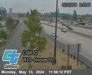


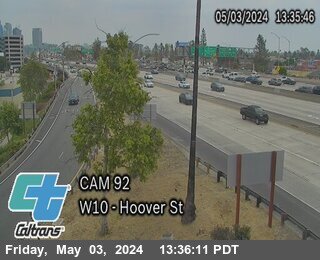
District: 7 Camera ID: 982
Location: I-10 : (92) Hoover St On-Ramp
View on Google Maps
Direction: West
Elevation: 95
Location: I-10 : (92) Hoover St On-Ramp
View on Google Maps
Direction: West
Elevation: 95
I-10 near University Park in Los Angeles County


District: 7 Camera ID: 1006
Location: I-10 : RT 110 (CHP Tower)
View on Google Maps
Direction: East
Elevation: 95
Location: I-10 : RT 110 (CHP Tower)
View on Google Maps
Direction: East
Elevation: 95
I-10 near Los Angeles in Los Angeles County
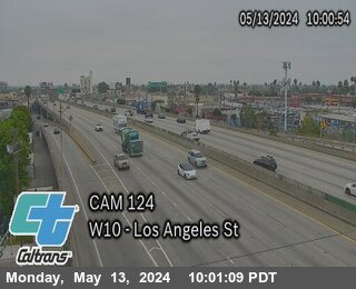


District: 7 Camera ID: 1007
Location: I-10 : (124) Los Angeles St
View on Google Maps
Direction: West
Elevation: 150
Location: I-10 : (124) Los Angeles St
View on Google Maps
Direction: West
Elevation: 150
I-10 near Los Angeles in Los Angeles County
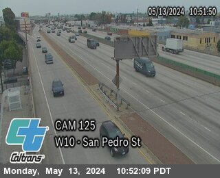


District: 7 Camera ID: 1008
Location: I-10 : (125) Griffith/San Pedro
View on Google Maps
Direction: West
Elevation: 95
Location: I-10 : (125) Griffith/San Pedro
View on Google Maps
Direction: West
Elevation: 95
I-10 near Los Angeles in Los Angeles County
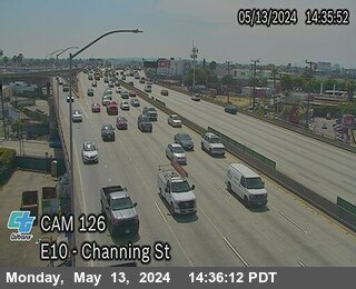


District: 7 Camera ID: 985
Location: I-10 : (126) Channing Street
View on Google Maps
Direction: East
Elevation: 213
Location: I-10 : (126) Channing Street
View on Google Maps
Direction: East
Elevation: 213
I-10 near Los Angeles in Los Angeles County


District: 7 Camera ID: 130
Location: I-10 : West of I-5
View on Google Maps
Direction: West
Elevation: 305
Location: I-10 : West of I-5
View on Google Maps
Direction: West
Elevation: 305
I-10 near Alhambra in Los Angeles County
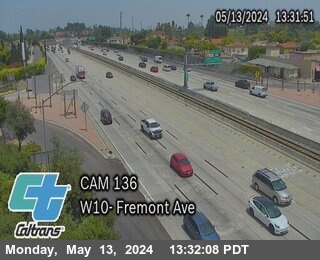


District: 7 Camera ID: 136
Location: I-10 : Fremont Ave
View on Google Maps
Direction: West
Elevation: 433
Location: I-10 : Fremont Ave
View on Google Maps
Direction: West
Elevation: 433
I-10 near Alhambra in Los Angeles County
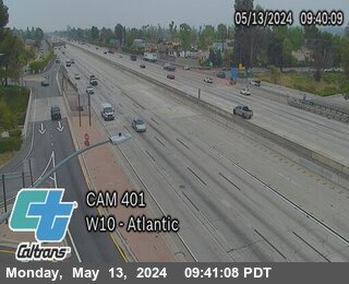


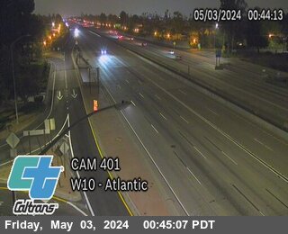
District: 7 Camera ID: 401
Location: I-10 : West of Atlantic Blvd
View on Google Maps
Direction: West
Elevation: 426
Location: I-10 : West of Atlantic Blvd
View on Google Maps
Direction: West
Elevation: 426
I-10 near Alhambra in Los Angeles County


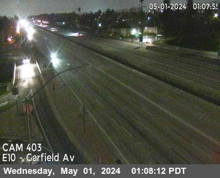
District: 7 Camera ID: 403
Location: I-10 : Garfield Ave
View on Google Maps
Direction: East
Elevation: 419
Location: I-10 : Garfield Ave
View on Google Maps
Direction: East
Elevation: 419
I-10 near San Gabriel in Los Angeles County


I-10 near Rosemead in Los Angeles County


District: 7 Camera ID: 406
Location: I-10 : San Gabriel Blvd
View on Google Maps
Direction: East
Elevation: 314
Location: I-10 : San Gabriel Blvd
View on Google Maps
Direction: East
Elevation: 314
I-10 near El Monte in Los Angeles County
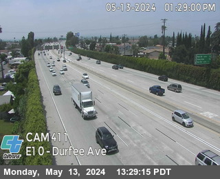


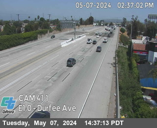
District: 7 Camera ID: 411
Location: I-10 : Durfee Ave
View on Google Maps
Direction: East
Elevation: 295
Location: I-10 : Durfee Ave
View on Google Maps
Direction: East
Elevation: 295
I-10 near Baldwin Park in Los Angeles County
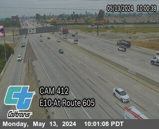


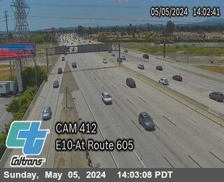
District: 7 Camera ID: 412
Location: I-10 : West of I-605
View on Google Maps
Direction: East
Elevation: 308
Location: I-10 : West of I-605
View on Google Maps
Direction: East
Elevation: 308
I-10 near Baldwin Park in Los Angeles County
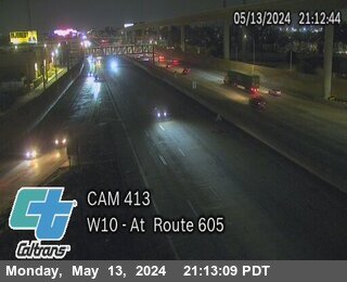


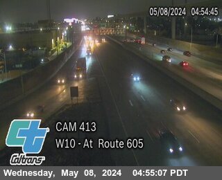
District: 7 Camera ID: 413
Location: I-10 : West I-10 / I-605
View on Google Maps
Direction: West
Elevation: 314
Location: I-10 : West I-10 / I-605
View on Google Maps
Direction: West
Elevation: 314
I-10 near Baldwin Park in Los Angeles County
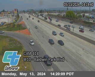


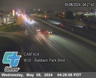
District: 7 Camera ID: 414
Location: I-10 : Baldwin Park Bl
View on Google Maps
Direction: West
Elevation: 344
Location: I-10 : Baldwin Park Bl
View on Google Maps
Direction: West
Elevation: 344
I-10 near Baldwin Park in Los Angeles County
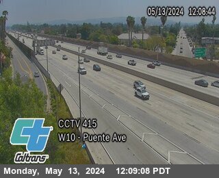


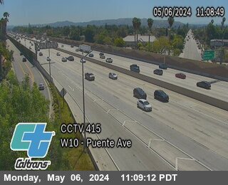
District: 7 Camera ID: 415
Location: I-10 : Puente Ave
View on Google Maps
Direction: West
Elevation: 357
Location: I-10 : Puente Ave
View on Google Maps
Direction: West
Elevation: 357
I-10 near West Covina in Los Angeles County
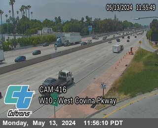


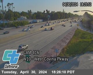
District: 7 Camera ID: 416
Location: I-10 : West Covina Parkway
View on Google Maps
Direction: West
Elevation: 387
Location: I-10 : West Covina Parkway
View on Google Maps
Direction: West
Elevation: 387
I-10 near West Covina in Los Angeles County
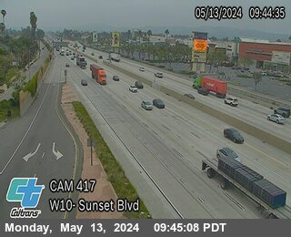


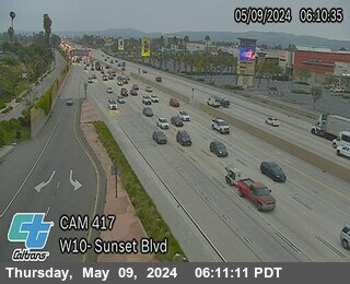
District: 7 Camera ID: 417
Location: I-10 : Sunset Ave
View on Google Maps
Direction: West
Elevation: 390
Location: I-10 : Sunset Ave
View on Google Maps
Direction: West
Elevation: 390
I-10 near West Covina in Los Angeles County
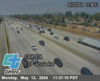


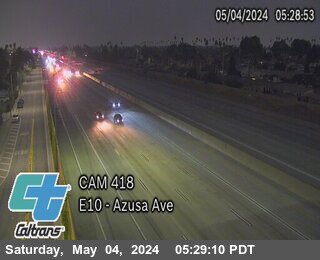
District: 7 Camera ID: 418
Location: I-10 : Azusa Ave
View on Google Maps
Direction: East
Elevation: 442
Location: I-10 : Azusa Ave
View on Google Maps
Direction: East
Elevation: 442
I-10 near West Covina in Los Angeles County
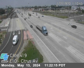


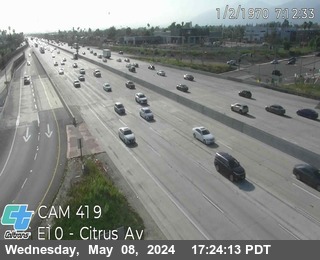
District: 7 Camera ID: 419
Location: I-10 : Citrus St
View on Google Maps
Direction: East
Elevation: 488
Location: I-10 : Citrus St
View on Google Maps
Direction: East
Elevation: 488
I-10 near West Covina in Los Angeles County
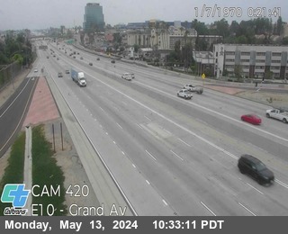


District: 7 Camera ID: 420
Location: I-10 : Grand Ave
View on Google Maps
Direction: East
Elevation: 528
Location: I-10 : Grand Ave
View on Google Maps
Direction: East
Elevation: 528
I-10 near Covina in Los Angeles County
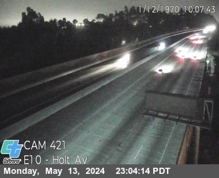


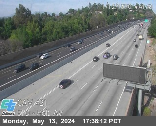
District: 7 Camera ID: 421
Location: I-10 : East of Holt Ave
View on Google Maps
Direction: East
Elevation: 685
Location: I-10 : East of Holt Ave
View on Google Maps
Direction: East
Elevation: 685
I-10 near Covina in Los Angeles County
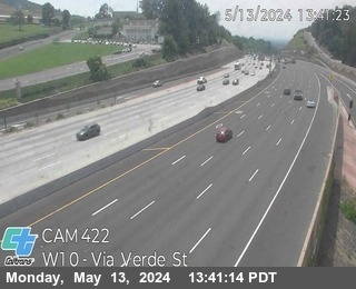


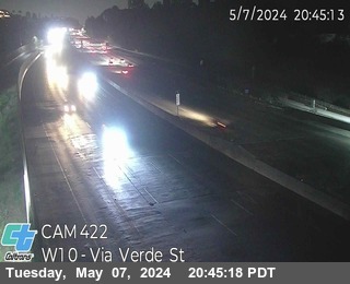
District: 7 Camera ID: 422
Location: I-10 : Via Verde St
View on Google Maps
Direction: West
Elevation: 921
Location: I-10 : Via Verde St
View on Google Maps
Direction: West
Elevation: 921
I-10 near San Dimas in Los Angeles County


District: 7 Camera ID: 423
Location: I-10 : Kellogg Dr
View on Google Maps
Direction: West
Elevation: 767
Location: I-10 : Kellogg Dr
View on Google Maps
Direction: West
Elevation: 767
I-10 near Pomona in Los Angeles County
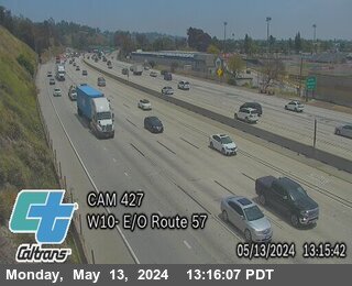


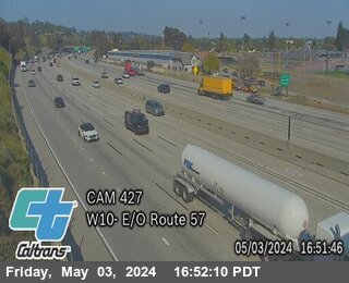
District: 7 Camera ID: 427
Location: I-10 : East of SR-57
View on Google Maps
Direction: West
Elevation: 823
Location: I-10 : East of SR-57
View on Google Maps
Direction: West
Elevation: 823
I-10 near Pomona in Los Angeles County
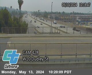


District: 7 Camera ID: 428
Location: I-10 : Dudley St
View on Google Maps
Direction: West
Elevation: 856
Location: I-10 : Dudley St
View on Google Maps
Direction: West
Elevation: 856
I-10 near Pomona in Los Angeles County
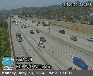


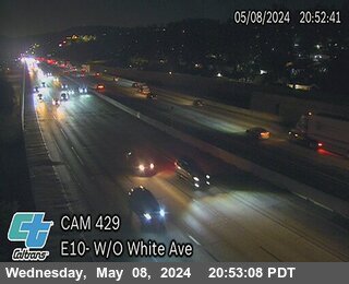
District: 7 Camera ID: 429
Location: I-10 : West of White Ave
View on Google Maps
Direction: East
Elevation: 879
Location: I-10 : West of White Ave
View on Google Maps
Direction: East
Elevation: 879
I-10 near Pomona in Los Angeles County
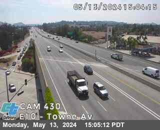


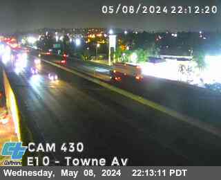
District: 7 Camera ID: 430
Location: I-10 : Towne Ave
View on Google Maps
Direction: East
Elevation: 987
Location: I-10 : Towne Ave
View on Google Maps
Direction: East
Elevation: 987
I-10 near Claremont in Los Angeles County
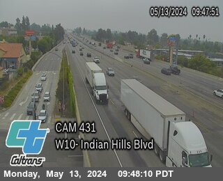


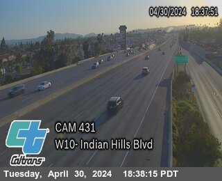
District: 7 Camera ID: 431
Location: I-10 : Indian Hill Blvd
View on Google Maps
Direction: West
Elevation: 1036
Location: I-10 : Indian Hill Blvd
View on Google Maps
Direction: West
Elevation: 1036
I-10 near Montclair in San Bernardino County
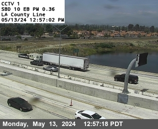


District: 8 Camera ID: 1
Location: I-10 : (01) LA County Line
View on Google Maps
Direction: East
Elevation: 1062
Location: I-10 : (01) LA County Line
View on Google Maps
Direction: East
Elevation: 1062
I-10 near Montclair in San Bernardino County
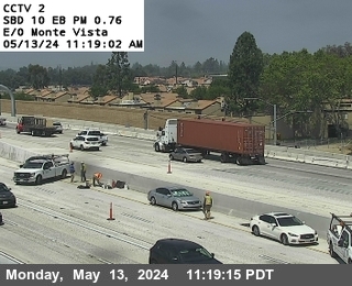


District: 8 Camera ID: 2
Location: I-10 : (02) East of Monte Vista
View on Google Maps
Direction: East
Elevation: 1102
Location: I-10 : (02) East of Monte Vista
View on Google Maps
Direction: East
Elevation: 1102
I-10 near Montclair in San Bernardino County


District: 8 Camera ID: 3
Location: I-10 : (03) Central
View on Google Maps
Direction: East
Elevation: 1131
Location: I-10 : (03) Central
View on Google Maps
Direction: East
Elevation: 1131
I-10 near Montclair in San Bernardino County
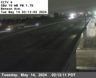


District: 8 Camera ID: 4
Location: I-10 : (04) Benson Avenue
View on Google Maps
Direction: West
Elevation: 1167
Location: I-10 : (04) Benson Avenue
View on Google Maps
Direction: West
Elevation: 1167
I-10 near Ontario in San Bernardino County
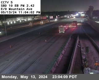


District: 8 Camera ID: 5
Location: I-10 : (05) East of Mountain Avenue
View on Google Maps
Direction: East
Elevation: 1164
Location: I-10 : (05) East of Mountain Avenue
View on Google Maps
Direction: East
Elevation: 1164
I-10 near Ontario in San Bernardino County


District: 8 Camera ID: 6
Location: I-10 : (06) West of Euclid
View on Google Maps
Direction: East
Elevation: 1158
Location: I-10 : (06) West of Euclid
View on Google Maps
Direction: East
Elevation: 1158
I-10 near Ontario in San Bernardino County
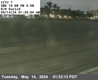


District: 8 Camera ID: 7
Location: I-10 : (07) East of Euclid
View on Google Maps
Direction: East
Elevation: 1148
Location: I-10 : (07) East of Euclid
View on Google Maps
Direction: East
Elevation: 1148
I-10 near Ontario in San Bernardino County


District: 8 Camera ID: 8
Location: I-10 : (08) West of Grove
View on Google Maps
Direction: West
Elevation: 1105
Location: I-10 : (08) West of Grove
View on Google Maps
Direction: West
Elevation: 1105
I-10 near Ontario in San Bernardino County


District: 8 Camera ID: 9
Location: I-10 : (09) 4th Street
View on Google Maps
Direction: East
Elevation: 1056
Location: I-10 : (09) 4th Street
View on Google Maps
Direction: East
Elevation: 1056
I-10 near Ontario in San Bernardino County


District: 8 Camera ID: 10
Location: I-10 : East of Vineyard
View on Google Maps
Direction: East
Elevation: 994
Location: I-10 : East of Vineyard
View on Google Maps
Direction: East
Elevation: 994
I-10 near Ontario in San Bernardino County


District: 8 Camera ID: 11
Location: I-10 : Holt Undercross
View on Google Maps
Direction: West
Elevation: 990
Location: I-10 : Holt Undercross
View on Google Maps
Direction: West
Elevation: 990
I-10 near Ontario in San Bernardino County
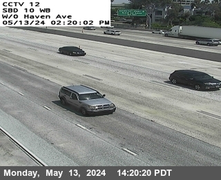


District: 8 Camera ID: 12
Location: I-10 : West of Haven
View on Google Maps
Direction: East
Elevation: 980
Location: I-10 : West of Haven
View on Google Maps
Direction: East
Elevation: 980
I-10 near Ontario in San Bernardino County
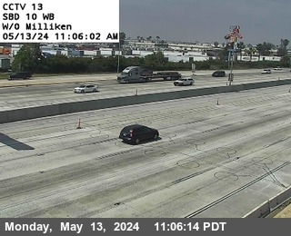


District: 8 Camera ID: 13
Location: I-10 : West of Milliken
View on Google Maps
Direction: West
Elevation: 980
Location: I-10 : West of Milliken
View on Google Maps
Direction: West
Elevation: 980
I-10 near Ontario in San Bernardino County
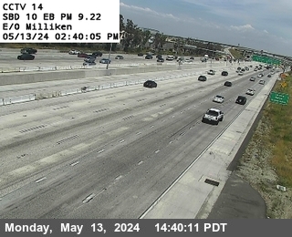


District: 8 Camera ID: 14
Location: I-10 : East of Milliken
View on Google Maps
Direction: East
Elevation: 990
Location: I-10 : East of Milliken
View on Google Maps
Direction: East
Elevation: 990
I-10 near Ontario in San Bernardino County


District: 8 Camera ID: 16
Location: I-10 : I-15 E-N Connector
View on Google Maps
Direction: East
Elevation: 994
Location: I-10 : I-15 E-N Connector
View on Google Maps
Direction: East
Elevation: 994
I-10 near Ontario in San Bernardino County
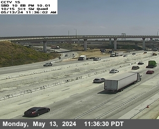


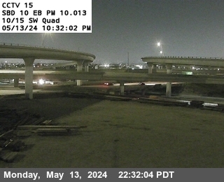
District: 8 Camera ID: 15
Location: I-10 : I-15 SW Quad
View on Google Maps
Direction: North
Elevation: 1020
Location: I-10 : I-15 SW Quad
View on Google Maps
Direction: North
Elevation: 1020
I-10 near Ontario in San Bernardino County


District: 8 Camera ID: 17
Location: I-10 : West Side Etiwanda
View on Google Maps
Direction: West
Elevation: 997
Location: I-10 : West Side Etiwanda
View on Google Maps
Direction: West
Elevation: 997
I-10 near Fontana in San Bernardino County
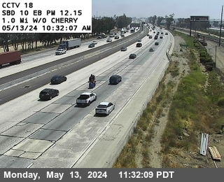


District: 8 Camera ID: 18
Location: I-10 : 1.0 Miles West of Cherry
View on Google Maps
Direction: East
Elevation: 1003
Location: I-10 : 1.0 Miles West of Cherry
View on Google Maps
Direction: East
Elevation: 1003
I-10 near Fontana in San Bernardino County
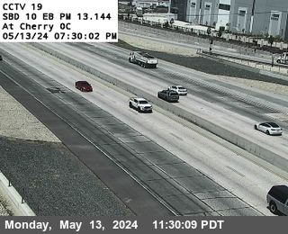


District: 8 Camera ID: 19
Location: I-10 : West Side Cherry Overcross
View on Google Maps
Direction: East
Elevation: 1030
Location: I-10 : West Side Cherry Overcross
View on Google Maps
Direction: East
Elevation: 1030
I-10 near Fontana in San Bernardino County
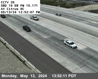


District: 8 Camera ID: 20
Location: I-10 : West Side Citrus Overcross
View on Google Maps
Direction: East
Elevation: 1095
Location: I-10 : West Side Citrus Overcross
View on Google Maps
Direction: East
Elevation: 1095
I-10 near Fontana in San Bernardino County
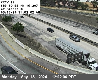


District: 8 Camera ID: 21
Location: I-10 : West Side Sierra Overcross
View on Google Maps
Direction: East
Elevation: 1115
Location: I-10 : West Side Sierra Overcross
View on Google Maps
Direction: East
Elevation: 1115
I-10 near Bloomington in San Bernardino County
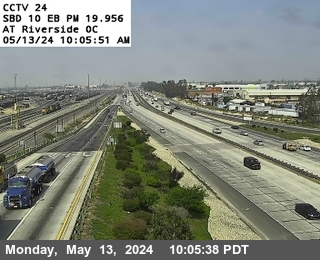


District: 8 Camera ID: 24
Location: I-10 : West Side Riverside
View on Google Maps
Direction: East
Elevation: 1059
Location: I-10 : West Side Riverside
View on Google Maps
Direction: East
Elevation: 1059
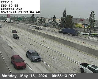
I-10 near Colton in San Bernardino County
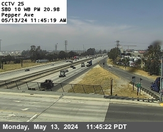


District: 8 Camera ID: 25
Location: I-10 : East Side Pepper Overcross
View on Google Maps
Direction: West
Elevation: 1072
Location: I-10 : East Side Pepper Overcross
View on Google Maps
Direction: West
Elevation: 1072
I-10 near Colton in San Bernardino County
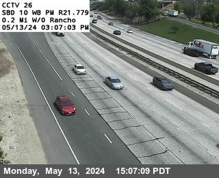


District: 8 Camera ID: 26
Location: I-10 : West of Rancho
View on Google Maps
Direction: West
Elevation: 1026
Location: I-10 : West of Rancho
View on Google Maps
Direction: West
Elevation: 1026
I-10 near Colton in San Bernardino County
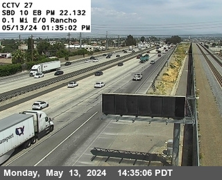


District: 8 Camera ID: 27
Location: I-10 : East of Rancho
View on Google Maps
Direction: East
Elevation: 997
Location: I-10 : East of Rancho
View on Google Maps
Direction: East
Elevation: 997
I-10 near Colton in San Bernardino County
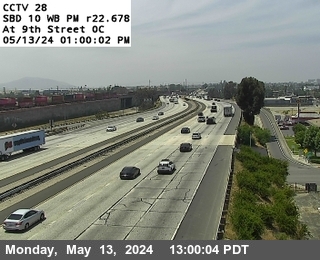


District: 8 Camera ID: 28
Location: I-10 : West Side 9th Street
View on Google Maps
Direction: West
Elevation: 997
Location: I-10 : West Side 9th Street
View on Google Maps
Direction: West
Elevation: 997
I-10 near Colton in San Bernardino County
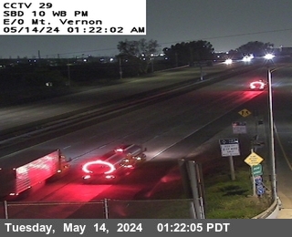


District: 8 Camera ID: 29
Location: I-10 : East Side Mt Vernon
View on Google Maps
Direction: West
Elevation: 967
Location: I-10 : East Side Mt Vernon
View on Google Maps
Direction: West
Elevation: 967
I-10 near San Bernardino in San Bernardino County
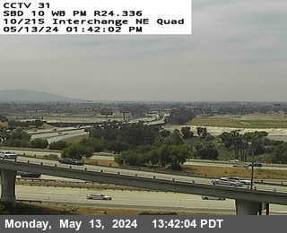


District: 8 Camera ID: 31
Location: I-10 : I-10/I-215 IC NE Quad
View on Google Maps
Direction: North
Elevation: 980
Location: I-10 : I-10/I-215 IC NE Quad
View on Google Maps
Direction: North
Elevation: 980
I-10 near San Bernardino in San Bernardino County
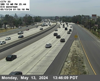


District: 8 Camera ID: 33
Location: I-10 : East of Waterman
View on Google Maps
Direction: West
Elevation: 1030
Location: I-10 : East of Waterman
View on Google Maps
Direction: West
Elevation: 1030
I-10 near Loma Linda in San Bernardino County
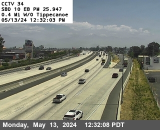


District: 8 Camera ID: 34
Location: I-10 : West of Tippecanoe
View on Google Maps
Direction: East
Elevation: 1053
Location: I-10 : West of Tippecanoe
View on Google Maps
Direction: East
Elevation: 1053
I-10 near San Bernardino in San Bernardino County
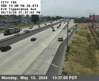


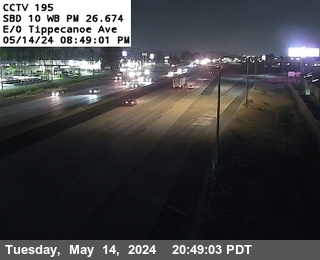
District: 8 Camera ID: 1400
Location: I-10: (195) E/O TIPPECANOE
View on Google Maps
Direction:
Elevation: 1083
Location: I-10: (195) E/O TIPPECANOE
View on Google Maps
Direction:
Elevation: 1083
I-10 near Loma Linda in San Bernardino County
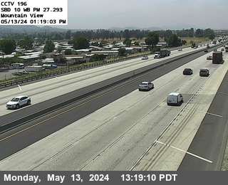


District: 8 Camera ID: 196
Location: I-10 : Mountain View
View on Google Maps
Direction: West
Elevation: 1125
Location: I-10 : Mountain View
View on Google Maps
Direction: West
Elevation: 1125
I-10 near Redlands in San Bernardino County
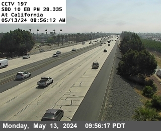


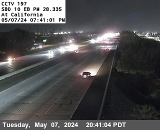
District: 8 Camera ID: 197
Location: I-10 : California
View on Google Maps
Direction: East
Elevation: 1174
Location: I-10 : California
View on Google Maps
Direction: East
Elevation: 1174
I-10 near Redlands in San Bernardino County
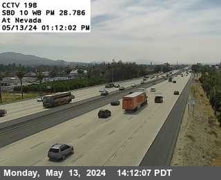


District: 8 Camera ID: 198
Location: I-10 : Nevada Street
View on Google Maps
Direction: West
Elevation: 1200
Location: I-10 : Nevada Street
View on Google Maps
Direction: West
Elevation: 1200
I-10 near Redlands in San Bernardino County
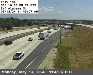


District: 8 Camera ID: 199
Location: I-10 : East of Alabama
View on Google Maps
Direction: East
Elevation: 1272
Location: I-10 : East of Alabama
View on Google Maps
Direction: East
Elevation: 1272
I-10 near Redlands in San Bernardino County


I-10 near SBD 10 Orange St. in San Bernardino County


District: 8 Camera ID: 1402
Location: I-10: (274) Orange St.
View on Google Maps
Direction: West
Elevation: 1369
Location: I-10: (274) Orange St.
View on Google Maps
Direction: West
Elevation: 1369
I-10 near SBD 10 University in San Bernardino County
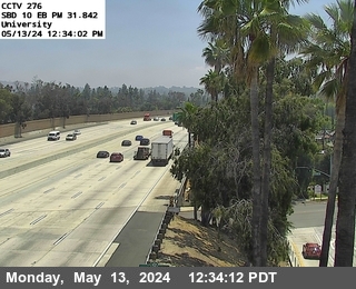


District: 8 Camera ID: 1401
Location: I-10: (276) University Dr.
View on Google Maps
Direction: East
Elevation: 1463
Location: I-10: (276) University Dr.
View on Google Maps
Direction: East
Elevation: 1463
I-10 near E. Cypress Ave in San Bernardino County


District: 8 Camera ID: 1403
Location: I-10: (277) Cypress Ave
View on Google Maps
Direction: East
Elevation: 1486
Location: I-10: (277) Cypress Ave
View on Google Maps
Direction: East
Elevation: 1486
I-10 near Redlands in San Bernardino County
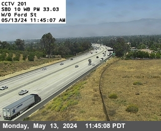


District: 8 Camera ID: 201
Location: I-10 : West of Ford Street
View on Google Maps
Direction: West
Elevation: 1643
Location: I-10 : West of Ford Street
View on Google Maps
Direction: West
Elevation: 1643
I-10 near Redlands in San Bernardino County
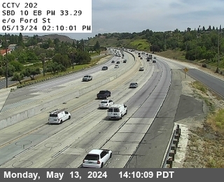


District: 8 Camera ID: 202
Location: I-10 : East of Ford Street
View on Google Maps
Direction: East
Elevation: 1663
Location: I-10 : East of Ford Street
View on Google Maps
Direction: East
Elevation: 1663
I-10 near Wabash Ave in San Bernardino County
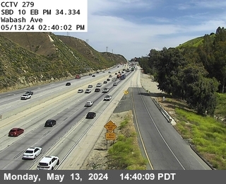


District: 8 Camera ID: 1404
Location: I-10: (279) Wabash Ave
View on Google Maps
Direction: East
Elevation: 1820
Location: I-10: (279) Wabash Ave
View on Google Maps
Direction: East
Elevation: 1820
I-10 near Yucaipa Blvd. WB Onramp in San Bernardino County
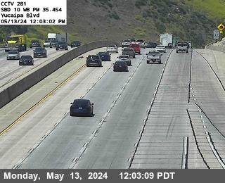


District: 8 Camera ID: 1405
Location: I-10: (281) Yucaipa Blvd
View on Google Maps
Direction: West
Elevation: 2043
Location: I-10: (281) Yucaipa Blvd
View on Google Maps
Direction: West
Elevation: 2043
I-10 near WB Live Oak Canyon Rd Entrance Ramp in San Bernardino County
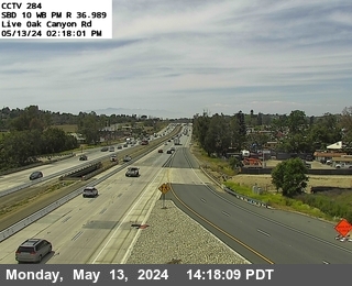


District: 8 Camera ID: 1406
Location: I-10: (284) Live Oak Canyon Rd WB
View on Google Maps
Direction: West
Elevation: 2034
Location: I-10: (284) Live Oak Canyon Rd WB
View on Google Maps
Direction: West
Elevation: 2034
I-10 in San Bernardino County


District: 8 Camera ID: 1410
Location: I-10 : (TPAS) Wildwood Rest Area
View on Google Maps
Direction: East
Elevation: 2213
Location: I-10 : (TPAS) Wildwood Rest Area
View on Google Maps
Direction: East
Elevation: 2213
I-10 near County Line Rd WB Onramp in San Bernardino County
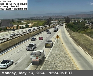


District: 8 Camera ID: 1407
Location: I-10: (288) County Line Rd WB
View on Google Maps
Direction: West
Elevation: 2362
Location: I-10: (288) County Line Rd WB
View on Google Maps
Direction: West
Elevation: 2362
I-10 near Beaumont in Riverside County
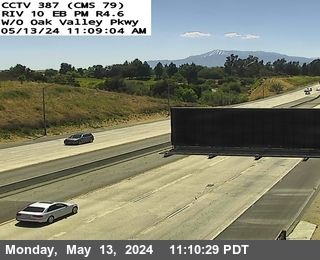


District: 8 Camera ID: 1382
Location: I-10 : (387) W/O Oak Valley Pkwy
View on Google Maps
Direction: East
Elevation: 2509
Location: I-10 : (387) W/O Oak Valley Pkwy
View on Google Maps
Direction: East
Elevation: 2509
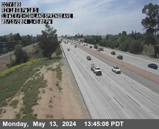
I-10 near Beaumont in Riverside County


District: 8 Camera ID: 502
Location: I-10: West of Highland Springs Avenue
View on Google Maps
Direction: East
Elevation: 2591
Location: I-10: West of Highland Springs Avenue
View on Google Maps
Direction: East
Elevation: 2591
I-10 near Banning in Riverside County


District: 8 Camera ID: 503
Location: I-10: East of Highland Springs Avenue
View on Google Maps
Direction: East
Elevation: 2522
Location: I-10: East of Highland Springs Avenue
View on Google Maps
Direction: East
Elevation: 2522
I-10 near Banning in Riverside County
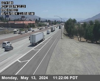


District: 8 Camera ID: 504
Location: I-10 : 22nd Street
View on Google Maps
Direction: East
Elevation: 2440
Location: I-10 : 22nd Street
View on Google Maps
Direction: East
Elevation: 2440
I-10 near Banning in Riverside County
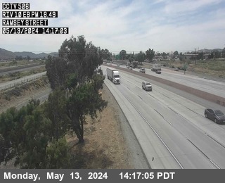


District: 8 Camera ID: 506
Location: I-10 : Ramsey Street
View on Google Maps
Direction: East
Elevation: 2204
Location: I-10 : Ramsey Street
View on Google Maps
Direction: East
Elevation: 2204
I-10 near Cabazon in Riverside County
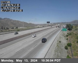


District: 8 Camera ID: 508
Location: I-10 : West Of Main Street
View on Google Maps
Direction: West
Elevation: 1935
Location: I-10 : West Of Main Street
View on Google Maps
Direction: West
Elevation: 1935
I-10 near Cabazon in Riverside County


District: 8 Camera ID: 509
Location: I-10 : (385) Main Street
View on Google Maps
Direction: East
Elevation: 1791
Location: I-10 : (385) Main Street
View on Google Maps
Direction: East
Elevation: 1791
I-10 near Whitewater in Riverside County
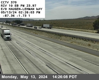


District: 8 Camera ID: 370
Location: I-10 : West of Haugen-Lehmann Way
View on Google Maps
Direction: North
Elevation: 1358
Location: I-10 : West of Haugen-Lehmann Way
View on Google Maps
Direction: North
Elevation: 1358
I-10 near Whitewater in Riverside County
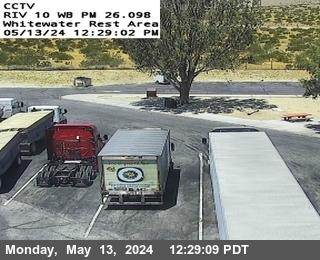


District: 8 Camera ID: 1384
Location: I-10 : (TPAS1) Whitewater Rest Area WB
View on Google Maps
Direction: West
Elevation: 1100
Location: I-10 : (TPAS1) Whitewater Rest Area WB
View on Google Maps
Direction: West
Elevation: 1100
I-10 near Whitewater in Riverside County
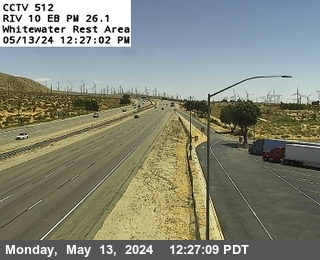


District: 8 Camera ID: 512
Location: I-10 : White Water Rest Area
View on Google Maps
Direction: East
Elevation: 1167
Location: I-10 : White Water Rest Area
View on Google Maps
Direction: East
Elevation: 1167
I-10 near Garnet in Riverside County
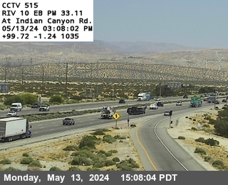


District: 8 Camera ID: 1370
Location: I-10 : (515) Indian Canyon
View on Google Maps
Direction:
Elevation: 730
Location: I-10 : (515) Indian Canyon
View on Google Maps
Direction:
Elevation: 730
I-10 near Desert Hot Springs in Riverside County


District: 8 Camera ID: 372
Location: I-10 : East of Indian Canyon Drive
View on Google Maps
Direction: West
Elevation: 646
Location: I-10 : East of Indian Canyon Drive
View on Google Maps
Direction: West
Elevation: 646
I-10 near Cathedral City in Riverside County
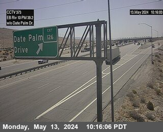


District: 8 Camera ID: 373
Location: I-10 : West of Date Palm Drive
View on Google Maps
Direction: East
Elevation: 406
Location: I-10 : West of Date Palm Drive
View on Google Maps
Direction: East
Elevation: 406
I-10 near Desert Hot Springs in Riverside County
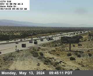


District: 8 Camera ID: 517
Location: I-10 : (518) Date Palm Drive
View on Google Maps
Direction: East
Elevation: 469
Location: I-10 : (518) Date Palm Drive
View on Google Maps
Direction: East
Elevation: 469
I-10 near Thousand Palms in Riverside County
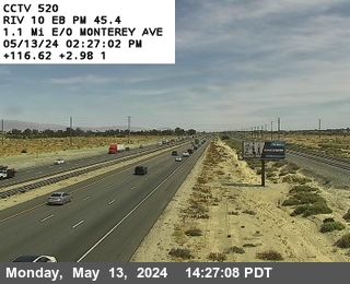


District: 8 Camera ID: 520
Location: I-10 : Monterrey Avenue
View on Google Maps
Direction: East
Elevation: 190
Location: I-10 : Monterrey Avenue
View on Google Maps
Direction: East
Elevation: 190
I-10 near Thousand Palms in Riverside County


District: 8 Camera ID: 521
Location: I-10 : East of Cook Street
View on Google Maps
Direction: East
Elevation: 160
Location: I-10 : East of Cook Street
View on Google Maps
Direction: East
Elevation: 160
I-10 near Palm Desert in Riverside County
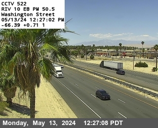


District: 8 Camera ID: 522
Location: I-10 : Washington Street
View on Google Maps
Direction: East
Elevation: 108
Location: I-10 : Washington Street
View on Google Maps
Direction: East
Elevation: 108
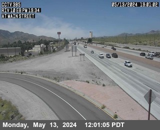
I-10 near Indio in Riverside County
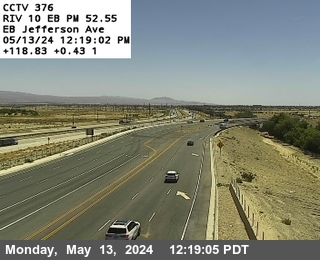


District: 8 Camera ID: 376
Location: I-10 : East of Jefferson
View on Google Maps
Direction: West
Elevation: 59
Location: I-10 : East of Jefferson
View on Google Maps
Direction: West
Elevation: 59
I-10 near Indio in Riverside County
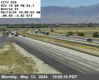


District: 8 Camera ID: 524
Location: I-10 : Monroe Street
View on Google Maps
Direction: East
Elevation: 6
Location: I-10 : Monroe Street
View on Google Maps
Direction: East
Elevation: 6
I-10 near Indio in Riverside County
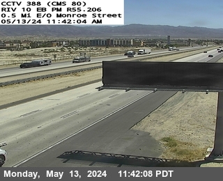


District: 8 Camera ID: 1383
Location: I-10 : (388) 0.5 Mi E/O Monroe St
View on Google Maps
Direction: East
Elevation: -3
Location: I-10 : (388) 0.5 Mi E/O Monroe St
View on Google Maps
Direction: East
Elevation: -3
I-10 near Indio in Riverside County
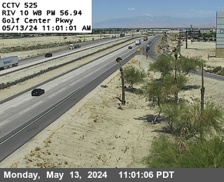


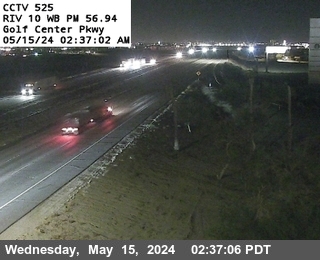
District: 8 Camera ID: 1369
Location: I-10 : (525) Golf Center Pkwy
View on Google Maps
Direction: West
Elevation: -16
Location: I-10 : (525) Golf Center Pkwy
View on Google Maps
Direction: West
Elevation: -16
I-10 near Coachella in Riverside County
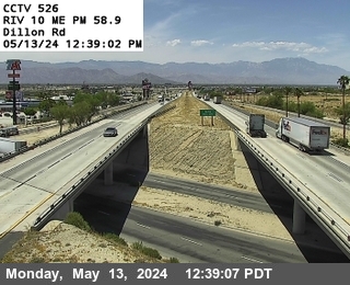


District: 8 Camera ID: 526
Location: I-10 : Dillon Road
View on Google Maps
Direction: Median
Elevation: -9
Location: I-10 : Dillon Road
View on Google Maps
Direction: Median
Elevation: -9
I-10 near Coachella in Riverside County


District: 8 Camera ID: 377
Location: I-10 : East of Dillion Road
View on Google Maps
Direction: West
Elevation: 0
Location: I-10 : East of Dillion Road
View on Google Maps
Direction: West
Elevation: 0
I-10 near Indio in Riverside County
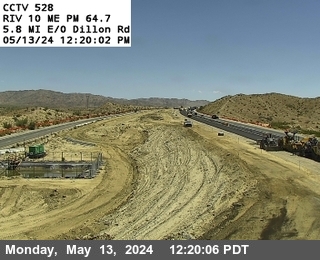


District: 8 Camera ID: 528
Location: I-10 : Smokey Gulsh
View on Google Maps
Direction: Median
Elevation: 685
Location: I-10 : Smokey Gulsh
View on Google Maps
Direction: Median
Elevation: 685
I-10 near Cactus City in Riverside County
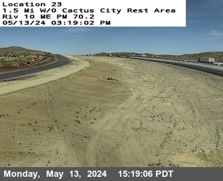


District: 8 Camera ID: 1372
Location: I-10 : (530) 1.5 w/o Cactus City Rest Area
View on Google Maps
Direction: West
Elevation: 1585
Location: I-10 : (530) 1.5 w/o Cactus City Rest Area
View on Google Maps
Direction: West
Elevation: 1585
I-10 near Mecca in Riverside County
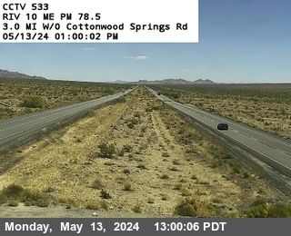


District: 8 Camera ID: 533
Location: I-10 : West of Cottonwood Springs Road
View on Google Maps
Direction: Median
Elevation: 1433
Location: I-10 : West of Cottonwood Springs Road
View on Google Maps
Direction: Median
Elevation: 1433
I-10 near Not Reported in Riverside County
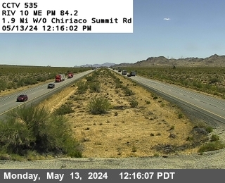


District: 8 Camera ID: 535
Location: I-10 : Chiriaco Sumit
View on Google Maps
Direction: Median
Elevation: 1646
Location: I-10 : Chiriaco Sumit
View on Google Maps
Direction: Median
Elevation: 1646
I-10 near Not Reported in Riverside County
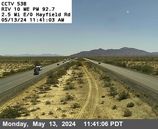


District: 8 Camera ID: 538
Location: I-10 : East of Hayfield Road
View on Google Maps
Direction: Median
Elevation: 1410
Location: I-10 : East of Hayfield Road
View on Google Maps
Direction: Median
Elevation: 1410
I-10 near Desert Center in Riverside County
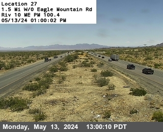


District: 8 Camera ID: 541
Location: I-10 : West of Eagle Mountain Rd
View on Google Maps
Direction: West
Elevation: 1256
Location: I-10 : West of Eagle Mountain Rd
View on Google Maps
Direction: West
Elevation: 1256
I-10 near Desert Center in Riverside County


District: 8 Camera ID: 544
Location: I-10 : East of Route 177
View on Google Maps
Direction: East
Elevation: 787
Location: I-10 : East of Route 177
View on Google Maps
Direction: East
Elevation: 787
I-10 in Riverside County


District: 8 Camera ID: 547
Location: I-10 : East of Corn Springs Road
View on Google Maps
Direction: East
Elevation: 504
Location: I-10 : East of Corn Springs Road
View on Google Maps
Direction: East
Elevation: 504
I-10 in Riverside County


District: 8 Camera ID: 550
Location: I-10 : Esso Ditch
View on Google Maps
Direction: West
Elevation: 381
Location: I-10 : Esso Ditch
View on Google Maps
Direction: West
Elevation: 381
I-10 near Blythe in Riverside County


District: 8 Camera ID: 559
Location: I-10 : East of SR-78
View on Google Maps
Direction: East
Elevation: 262
Location: I-10 : East of SR-78
View on Google Maps
Direction: East
Elevation: 262
I-10 near Blythe in Riverside County
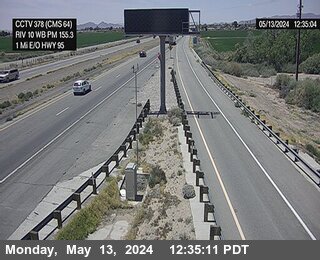


District: 8 Camera ID: 378
Location: I-10 : Next to CMS in Blythe
View on Google Maps
Direction: West
Elevation: 269
Location: I-10 : Next to CMS in Blythe
View on Google Maps
Direction: West
Elevation: 269