


In The Central California Area
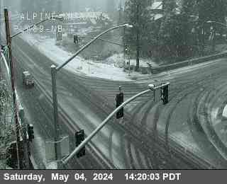
Is closed from 0.7 mi east of Lake Alpine to 7.2 mi west of the Jct of SR 89 (Alpine Co) - For the winter - Motorists are advised to use an alternate route
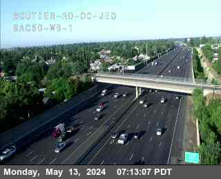
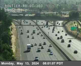
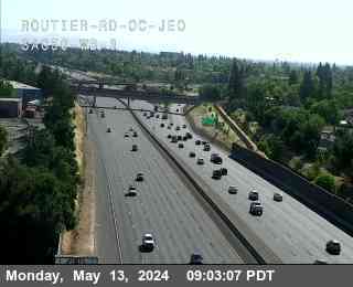
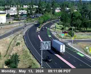
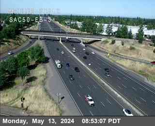
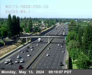
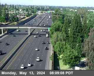
Data provided by: Caltrans Report broken WebCams
| Route/Area | Incident |
|---|---|
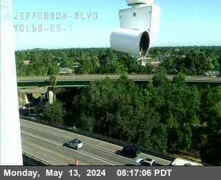
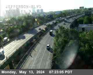
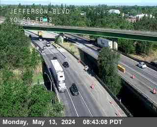
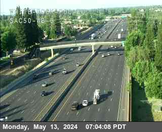
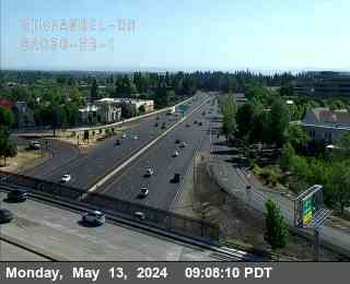
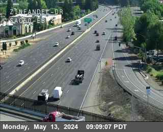
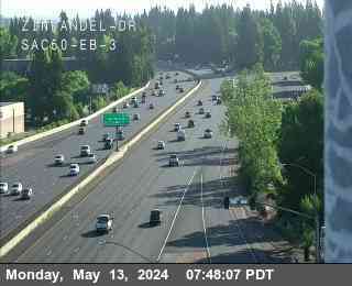
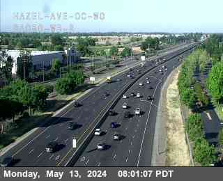
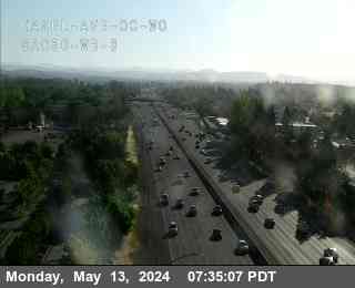
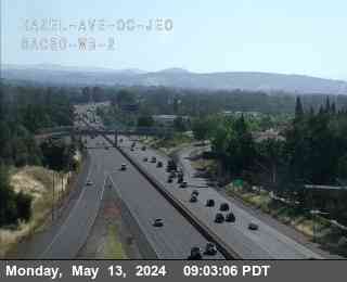
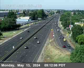
Sacramento | Traffic Collision Ambulance EnrouteCHP ID: 240505SA0969 Southbound 5 just North of YOLO EXIT - Woodland in District: 3 I-5 |
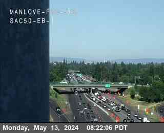
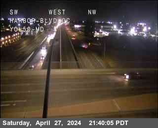
Sacramento | Traffic HazardCHP ID: 240505SA0992 just East of - Woodland in District: 3 US-50 East at Harbor Blvd |
Chico | Traffic HazardCHP ID: 240505CH0091 Northbound 5 just South of EXIT - Williams in District: 3 I-5 North at Maxwell Road |
Sacramento | Traffic HazardCHP ID: 240505SA0970 Westbound just East of - North Sac in District: 3 I-80 West at I80 W I5 N |
Sacramento | Animal HazardCHP ID: 240505SA0924 Southbound 160 just North of SHERMAN ISLAND -2 MILES - South Sac in District: 3 SR-160 at W Sherman Island |
Sacramento | Traffic HazardCHP ID: 240505SA0989 Southbound AT // in front of Fire STATION - Grass Valley in District: 3 SR-49 at La Barr Meadows |
Sacramento | Traffic Collision No injuryCHP ID: 240505SA0982 occurred Florin road / Stockton Blvd - South Sac in District: 3 8498 Florin Rd |
Sacramento | Traffic Collision - Unknown injuryCHP ID: 240505SA0964 Southbound just South of - North Sac in District: 3 Howe Ave / Arden Way |
Sacramento | Traffic Collision No injuryCHP ID: 240505SA0973 in front of - North Sac in District: 3 3905 Senate Ave |
Sacramento | Traffic Collision Minor injuryCHP ID: 240505SA0948 just West of CAMERON PARK DR *144 180* - Placerville in District: 3 3373 El Dorado Royale Dr |
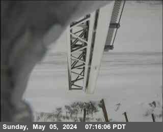
Truckee | Closure of a RoadCHP ID: 240505TK0011 ** Closure 5/5 ** - South Lake in District: 3 2063 Hopi Ave |
Sacramento | Animal HazardCHP ID: 240505SA0896 Southbound just North of - South Sac in District: 3 15461 Isleton Rd |
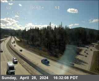
Truckee | SNOW InformationCHP ID: 240505TK0022 ** WHITMORE 70-D1 ** - Gold Run in District: 3 Eb Jwo Blue Canyon |
East / West
East / West
East / West