Caltrans Cameras on SR-12 in District 4 Real Time Traffic Cameras
SR-12 near Napa in Napa County
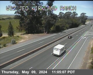
District: 4 Camera ID: 402
Location: TV483 -- SR-12 : Kirkland Ranch Road
View on Google Maps
Direction: West
Elevation: 239
Location: TV483 -- SR-12 : Kirkland Ranch Road
View on Google Maps
Direction: West
Elevation: 239
SR-12 near Napa in Napa County
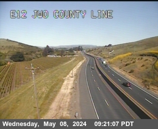
District: 4 Camera ID: 436
Location: TV484 -- SR-12 : E12 Before County Line
View on Google Maps
Direction: East
Elevation: 288
Location: TV484 -- SR-12 : E12 Before County Line
View on Google Maps
Direction: East
Elevation: 288
SR-12 near Fairfield in Solano County
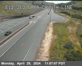
District: 4 Camera ID: 387
Location: TV485 -- SR-12 : East of Napa County Line
View on Google Maps
Direction: East
Elevation: 291
Location: TV485 -- SR-12 : East of Napa County Line
View on Google Maps
Direction: East
Elevation: 291
SR-12 near Fairfield in Solano County
District: 4 Camera ID: 448
Location: TV486 -- SR-12 : E12 EOF Miners Trail
View on Google Maps
Direction: East
Elevation: 249
Location: TV486 -- SR-12 : E12 EOF Miners Trail
View on Google Maps
Direction: East
Elevation: 249